Property Record
116 Kaylea Ct E, East Peoria, IL 61611
NEARBY LISTINGS FOR SALE OR LEASE
Property Detail
116 Kaylea Ct E
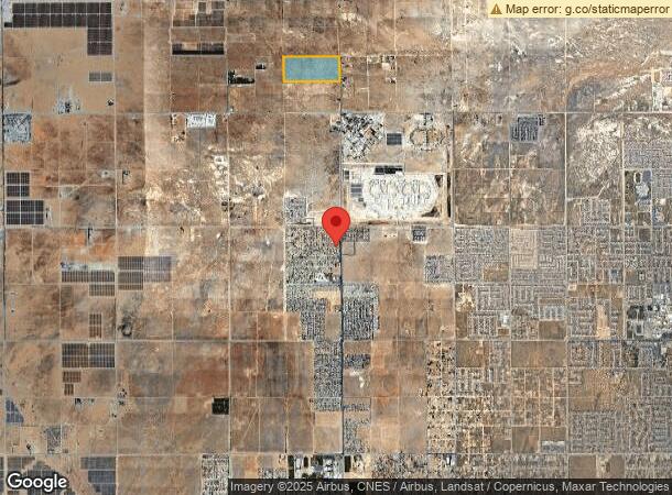
Los Angeles
THAT PART EX OF ST N OF S 10 ACS OF N 1/2 OF SE 1/4 OF LOT/SEC 10 BLK/DIV/TWN 7N REG/RNG13
Los Angeles-Long Beach-Glendale, CA
Los Angeles
3268-025-001
California
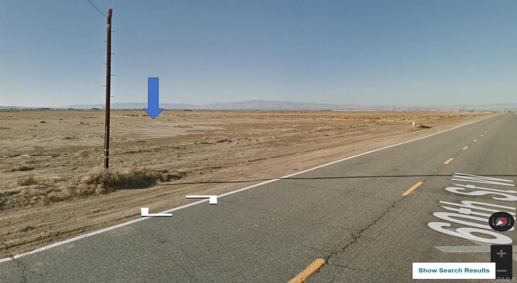
Desertorbarrenland
10
2024
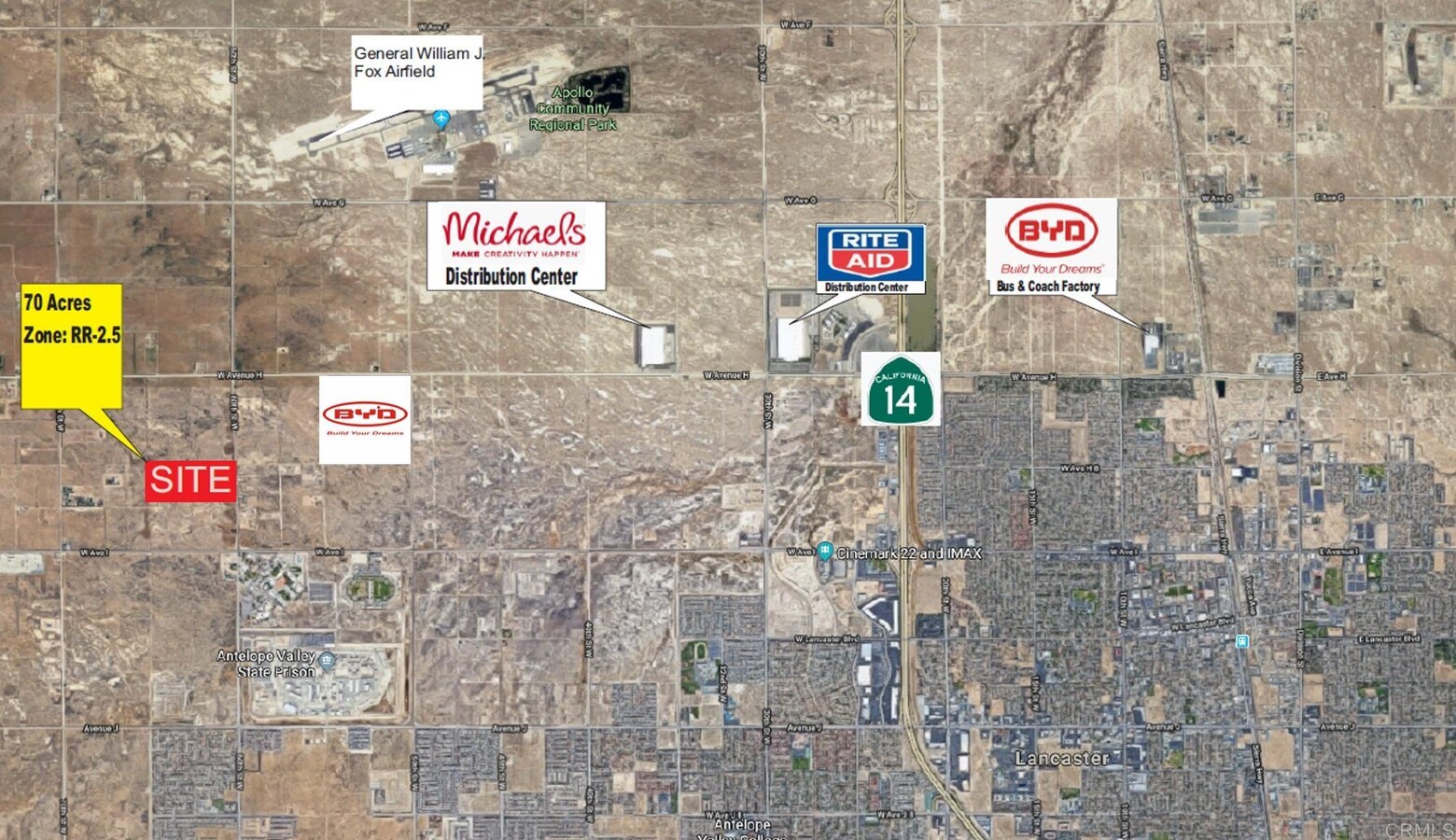
69.81 AC
2024
Antelope Valley
901214
DEMOGRAPHICS near 116 Kaylea Ct E
1 Mile
3 Mile
5 Mile
2024 Total Population
49
15,622
76,082
2029 Population
50
15,296
73,986
Pop Growth 2024-2029
+ 2.04%
(2.09%)
(2.75%)
Average Age
38
36
38
2024 Total Households
17
4,384
24,470
HH Growth 2024-2029
0.00%
(2.33%)
(3.04%)
Median Household Inc
$67,500
$106,409
$87,459
Avg Household Size
2.70
3.40
3.00
2024 Avg HH Vehicles
2.00
3.00
2.00
Median Home Value
$374,999
$445,671
$407,355
Median Year Built
2003
2003
1989
Nearby Places
- Restaurants
- Banks
- Shops
- Fitness
- Groceries
PUBLIC TRANSPORTATION
COMMUTER RAIL
Lancaster (Antelope Valley Line - Southern California Regional Rail Authority (Metrolink))
DRIVE
WALK
Distance
Lancaster (Antelope Valley Line - Southern California Regional Rail Authority (Metrolink))
11 min
6.6 mi
Freight Ports
Port of Long Beach
DRIVE
WALK
Distance
Port of Long Beach
115 min
97.1 mi
SALE & LEASE HISTORY
LISTING DATE
SALE/LEASE

Aug 10, 2023
For Sale
Nearby Properties
Address
Land Use
TOTAL SIZE
Lot Size
Zoning
Address
Land Use
TOTAL SIZE
Lot Size
Zoning
229.62 AC
LRR1
Address
Land Use
TOTAL SIZE
Lot Size
Zoning
18,150 SF
790.27 AC
LC-A2
Address
Land Use
TOTAL SIZE
Lot Size
Zoning
46,328 SF
4.78 AC
LCR1 10000
Address
Land Use
TOTAL SIZE
Lot Size
Zoning
0.34 AC
LCA22*
Address
Land Use
TOTAL SIZE
Lot Size
Zoning
47,294 SF
4.45 AC
LRR315U*
Address
Land Use
TOTAL SIZE
Lot Size
Zoning
67,985 SF
3.34 AC
LCRA10000*
Address
Land Use
TOTAL SIZE
Lot Size
Zoning
232.96 AC
LRR1
Address
Land Use
TOTAL SIZE
Lot Size
Zoning
151.44 AC
LCA11*
Address
Land Use
TOTAL SIZE
Lot Size
Zoning
221,325 SF
4.19 AC
LRA22*
Address
Land Use
TOTAL SIZE
Lot Size
Zoning
36,115 SF
13.25 AC
LCA210
Address
Land Use
TOTAL SIZE
Lot Size
Zoning
105,077 SF
13.27 AC
LCC1-LCR3*
Address
Land Use
TOTAL SIZE
Lot Size
Zoning
72,584 SF
2.01 AC
LCR1 10000
Address
Land Use
TOTAL SIZE
Lot Size
Zoning
200.06 AC
LRRR-2.5
Address
Land Use
TOTAL SIZE
Lot Size
Zoning
1,796.43 AC
LCA25*
Address
Land Use
TOTAL SIZE
Lot Size
Zoning
27,821 SF
1.09 AC
LCR3P*
Address
Land Use
TOTAL SIZE
Lot Size
Zoning
41,990 SF
1.21 AC
LCR1 10000
Address
Land Use
TOTAL SIZE
Lot Size
Zoning
138,009 SF
12.01 AC
LCR3*
Address
Land Use
TOTAL SIZE
Lot Size
Zoning
44,160 SF
5.50 AC
LCR3-2DU-D
Address
Land Use
TOTAL SIZE
Lot Size
Zoning
3,872 SF
651.82 AC
LC-A2
Address
Land Use
TOTAL SIZE
Lot Size
Zoning
21,873 SF
3.38 AC
LCA22*
Address
Land Use
TOTAL SIZE
Lot Size
Zoning
129.62 AC
LRR1
Address
Land Use
TOTAL SIZE
Lot Size
Zoning
2,287 SF
1.34 AC
LCMX-DRU
Address
Land Use
TOTAL SIZE
Lot Size
Zoning
33,508 SF
6.51 AC
LRA22*
Address
Land Use
TOTAL SIZE
Lot Size
Zoning
72,020 SF
8.53 AC
LRR311U*
Address
Land Use
TOTAL SIZE
Lot Size
Zoning
19,401 SF
1.81 AC
LCC4
Address
Land Use
TOTAL SIZE
Lot Size
Zoning
109.81 AC
LRR1
Address
Land Use
TOTAL SIZE
Lot Size
Zoning
77,586 SF
9.49 AC
LCR3*
Address
Land Use
TOTAL SIZE
Lot Size
Zoning
12.44 AC
PDC1*
Address
Land Use
TOTAL SIZE
Lot Size
Zoning
77.36 AC
LCD22*
Address
Land Use
TOTAL SIZE
Lot Size
Zoning
539.17 AC
LCA25*
The World's #1 Commercial Real Estate Marketplace
Connect with us
© 2025 CoStar Group
The information above has been obtained from sources believed reliable. While we do not doubt its accuracy we have not verified it and make no guarantee, warranty or representation about it. It is your responsibility to independently confirm its accuracy and completeness. Any projections, opinions, assumptions, or estimates used are for example only and do not represent the current or future performance of the property. The value of this transaction to you depends on tax and other factors which should be evaluated by your tax, financial, and legal advisors. You and your advisors should conduct a careful, independent investigation of the property to determine to your satisfaction the suitability of the property for your needs.