Property Record
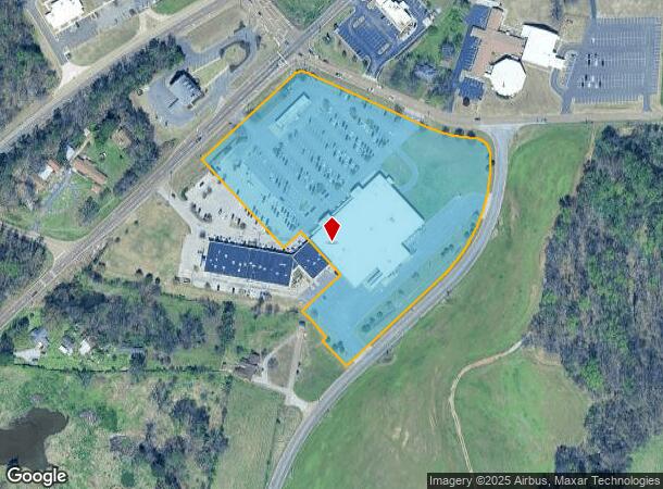
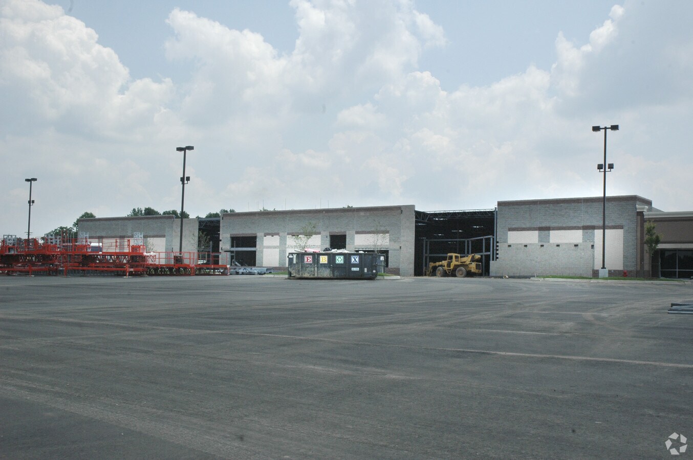
11630 Highway 51 S, Atoka, TN 38004
NEARBY LISTINGS FOR SALE OR LEASE
Property Detail
11630 Highway 51 S
Memphis, TN-MS-AR
Kimbrough Crossing
111J-A-001.00
DISTRICT: 07, COUNTY AREA: S70
Departmentstore
Tipton
X
Tennessee
47167C0310F
1
2023
8.85 AC
2024
Tipton County
040302
Memphis
60,767 SF
DEMOGRAPHICS near 11630 Highway 51 S
1 Mile
3 Mile
5 Mile
2024 Total Population
3,372
16,879
28,897
2029 Population
3,471
17,352
29,660
Pop Growth 2024-2029
+ 2.94%
+ 2.80%
+ 2.64%
Average Age
39
38
39
2024 Total Households
1,242
6,004
10,361
HH Growth 2024-2029
+ 2.90%
+ 2.71%
+ 2.55%
Median Household Inc
$78,400
$82,832
$77,978
Avg Household Size
2.70
2.80
2.80
2024 Avg HH Vehicles
2.00
2.00
2.00
Median Home Value
$212,308
$224,878
$215,475
Median Year Built
1996
1997
1995
Nearby Places
- Restaurants
- Banks
- Shops
- Fitness
- Groceries
PUBLIC TRANSPORTATION
AIRPORT
Memphis International
DRIVE
WALK
Distance
Memphis International
50 min
35.3 mi
Freight Ports
Port of Shreveport
DRIVE
WALK
Distance
Port of Shreveport
432 min
393.8 mi
SALE & LEASE HISTORY
LISTING DATE
SALE/LEASE

Sep 25, 2016
For Lease
Dec 08, 2021
For Lease
Nearby Properties
Address
Land Use
TOTAL SIZE
Lot Size
Zoning
Address
Land Use
TOTAL SIZE
Lot Size
Zoning
146,606 SF
39.75 AC
Address
Land Use
TOTAL SIZE
Lot Size
Zoning
49,705 SF
39.49 AC
Address
Land Use
TOTAL SIZE
Lot Size
Zoning
112,000 SF
27.57 AC
Address
Land Use
TOTAL SIZE
Lot Size
Zoning
29,859 SF
12.58 AC
Address
Land Use
TOTAL SIZE
Lot Size
Zoning
13,080 SF
5.46 AC
Address
Land Use
TOTAL SIZE
Lot Size
Zoning
18,901 SF
3 AC
Address
Land Use
TOTAL SIZE
Lot Size
Zoning
9,164 SF
5.75 AC
Address
Land Use
TOTAL SIZE
Lot Size
Zoning
8.33 AC
Address
Land Use
TOTAL SIZE
Lot Size
Zoning
16,800 SF
0.55 AC
Address
Land Use
TOTAL SIZE
Lot Size
Zoning
12,884 SF
3.61 AC
Address
Land Use
TOTAL SIZE
Lot Size
Zoning
8,584 SF
0.54 AC
Address
Land Use
TOTAL SIZE
Lot Size
Zoning
9,517 SF
6 AC
Address
Land Use
TOTAL SIZE
Lot Size
Zoning
11,269 SF
0.55 AC
Address
Land Use
TOTAL SIZE
Lot Size
Zoning
23,205 SF
3.10 AC
Address
Land Use
TOTAL SIZE
Lot Size
Zoning
Address
Land Use
TOTAL SIZE
Lot Size
Zoning
14,940 SF
1.39 AC
Address
Land Use
TOTAL SIZE
Lot Size
Zoning
10,802 SF
2.22 AC
Address
Land Use
TOTAL SIZE
Lot Size
Zoning
4,224 SF
5.84 AC
Address
Land Use
TOTAL SIZE
Lot Size
Zoning
7,764 SF
1.46 AC
Address
Land Use
TOTAL SIZE
Lot Size
Zoning
2,908 SF
6.74 AC
Address
Land Use
TOTAL SIZE
Lot Size
Zoning
13,972 SF
2.80 AC
Address
Land Use
TOTAL SIZE
Lot Size
Zoning
30,615 SF
1.50 AC
Address
Land Use
TOTAL SIZE
Lot Size
Zoning
275 AC
Address
Land Use
TOTAL SIZE
Lot Size
Zoning
15,068 SF
1.70 AC
Address
Land Use
TOTAL SIZE
Lot Size
Zoning
7,800 SF
109.43 AC
Address
Land Use
TOTAL SIZE
Lot Size
Zoning
10,386 SF
0.38 AC
Address
Land Use
TOTAL SIZE
Lot Size
Zoning
3.19 AC
Address
Land Use
TOTAL SIZE
Lot Size
Zoning
27.66 AC
Address
Land Use
TOTAL SIZE
Lot Size
Zoning
14,690 SF
1.53 AC
The World's #1 Commercial Real Estate Marketplace
Connect with us
© 2025 CoStar Group
The information above has been obtained from sources believed reliable. While we do not doubt its accuracy we have not verified it and make no guarantee, warranty or representation about it. It is your responsibility to independently confirm its accuracy and completeness. Any projections, opinions, assumptions, or estimates used are for example only and do not represent the current or future performance of the property. The value of this transaction to you depends on tax and other factors which should be evaluated by your tax, financial, and legal advisors. You and your advisors should conduct a careful, independent investigation of the property to determine to your satisfaction the suitability of the property for your needs.