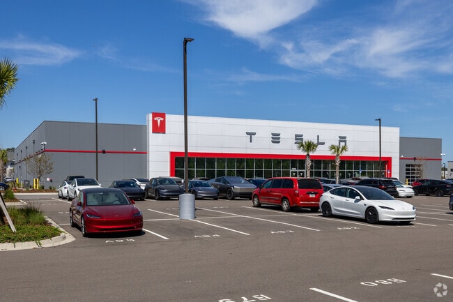
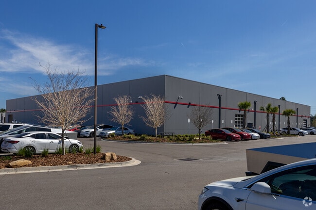
Property Record
11650 Abess Blvd, Jacksonville, FL 32225

Property Detail
11650 Abess Blvd
167445-0208
39-2S-28E 6.3 PT F RICHARD GRANT, PT SEC 21 RECD O/R 20714-363
Vehiclerentalsvehiclesales
DUVAL
PUD
Florida
2025
6.29 AC
2026
Arlington
014328
Jacksonville (Florida)
45,642 SF
Jacksonville, FL
NEARBY LISTINGS FOR SALE OR LEASE
DEMOGRAPHICS near 11650 Abess Blvd
1 mile
3 mile
5 mile
2025 Total Population
8,374
85,503
200,811
2030 Population
8,780
89,654
211,587
Pop Growth 2025-2030
+ 4.85%
+ 4.85%
+ 5.37%
Average Age
37
38
38
2025 Total Households
3,021
33,318
79,414
HH Growth 2025-2030
+ 5.16%
+ 5.17%
+ 5.70%
Median Household Inc
$98,087
$84,212
$79,499
Avg Household Size
2.70
2.50
2.40
2025 Avg HH Vehicles
2.00
2.00
2.00
Median Home Value
$367,258
$346,548
$353,944
Median Year Built
2004
1993
1993
Nearby Places
Map Layers
Map Styles
 Street
 Aerial
Layers
 Traffic
 Biking
Places
Listings with unknown addresses are not visible on the map
- Restaurants
- Banks
- Shops
- Fitness
- Groceries
PUBLIC TRANSPORTATION
AIRPORT
Jacksonville International
Drive
Walk
Distance
Jacksonville International
29 min
19.4 mi
Freight Ports
Jacksonville Port
Drive
Walk
Distance
Jacksonville Port
20 min
11.1 mi
Nearby Properties
Address
Land Use
TOTAL SIZE
Lot Size
Zoning
Address
Land Use
TOTAL SIZE
Lot Size
Zoning
461,453 SF
46.69 AC
PUD
Address
Land Use
TOTAL SIZE
Lot Size
Zoning
375,307 SF
29.13 AC
PUD
Address
Land Use
TOTAL SIZE
Lot Size
Zoning
361,268 SF
15.27 AC
PUD
Address
Land Use
TOTAL SIZE
Lot Size
Zoning
327,165 SF
25 AC
RMD-D
Address
Land Use
TOTAL SIZE
Lot Size
Zoning
404,896 SF
36.51 AC
PUD
Address
Land Use
TOTAL SIZE
Lot Size
Zoning
395,677 SF
45.86 AC
PUD
Address
Land Use
TOTAL SIZE
Lot Size
Zoning
304,922 SF
26.28 AC
PUD
Address
Land Use
TOTAL SIZE
Lot Size
Zoning
277,959 SF
14.39 AC
PUD
Address
Land Use
TOTAL SIZE
Lot Size
Zoning
471,372 SF
1,067.68 AC
PUD
Address
Land Use
TOTAL SIZE
Lot Size
Zoning
302,329 SF
28.90 AC
PUD
Address
Land Use
TOTAL SIZE
Lot Size
Zoning
266,120 SF
14.60 AC
PUD
Address
Land Use
TOTAL SIZE
Lot Size
Zoning
345,122 SF
19.85 AC
RMD-D
Address
Land Use
TOTAL SIZE
Lot Size
Zoning
321,335 SF
19.83 AC
RMD-D
Address
Land Use
TOTAL SIZE
Lot Size
Zoning
107,297 SF
6.14 AC
PUD
Address
Land Use
TOTAL SIZE
Lot Size
Zoning
232,520 SF
12.37 AC
RMD-D
Address
Land Use
TOTAL SIZE
Lot Size
Zoning
242,588 SF
15.04 AC
RMD-C
Address
Land Use
TOTAL SIZE
Lot Size
Zoning
184,563 SF
125.66 AC
PBF-1
Address
Land Use
TOTAL SIZE
Lot Size
Zoning
210,829 SF
11.84 AC
RMD-D
Address
Land Use
TOTAL SIZE
Lot Size
Zoning
154,382 SF
8.67 AC
RMD-D
Address
Land Use
TOTAL SIZE
Lot Size
Zoning
166,588 SF
10.40 AC
RMD-D
Address
Land Use
TOTAL SIZE
Lot Size
Zoning
214,460 SF
19.77 AC
RMD-C
Address
Land Use
TOTAL SIZE
Lot Size
Zoning
130,426 SF
18 AC
PUD
Address
Land Use
TOTAL SIZE
Lot Size
Zoning
284,164 SF
29.53 AC
PUD
Address
Land Use
TOTAL SIZE
Lot Size
Zoning
267,103 SF
17.31 AC
RMD-C
Address
Land Use
TOTAL SIZE
Lot Size
Zoning
125,088 SF
6.62 AC
RMD-D
Address
Land Use
TOTAL SIZE
Lot Size
Zoning
52,116 SF
15.05 AC
PUD
Address
Land Use
TOTAL SIZE
Lot Size
Zoning
80,308 SF
12.07 AC
PUD
Address
Land Use
TOTAL SIZE
Lot Size
Zoning
122,854 SF
12.25 AC
PUD
Address
Land Use
TOTAL SIZE
Lot Size
Zoning
171,731 SF
17.56 AC
RMD-D
Address
Land Use
TOTAL SIZE
Lot Size
Zoning
115,628 SF
6.26 AC
CRO
The World's #1 Commercial Real Estate Marketplace
Connect with us
© 2026 CoStar Group
The information above has been obtained from sources believed reliable. While we do not doubt its accuracy we have not verified it and make no guarantee, warranty or representation about it. It is your responsibility to independently confirm its accuracy and completeness. Any projections, opinions, assumptions, or estimates used are for example only and do not represent the current or future performance of the property. The value of this transaction to you depends on tax and other factors which should be evaluated by your tax, financial, and legal advisors. You and your advisors should conduct a careful, independent investigation of the property to determine to your satisfaction the suitability of the property for your needs.