Property Record
1166 Malabar Rd Se, Palm Bay, FL 32907


NEARBY LISTINGS FOR SALE OR LEASE
-
-
-
No Photo
-
-
View all Palm Bay listings for sale on LoopNet.com
Property Detail
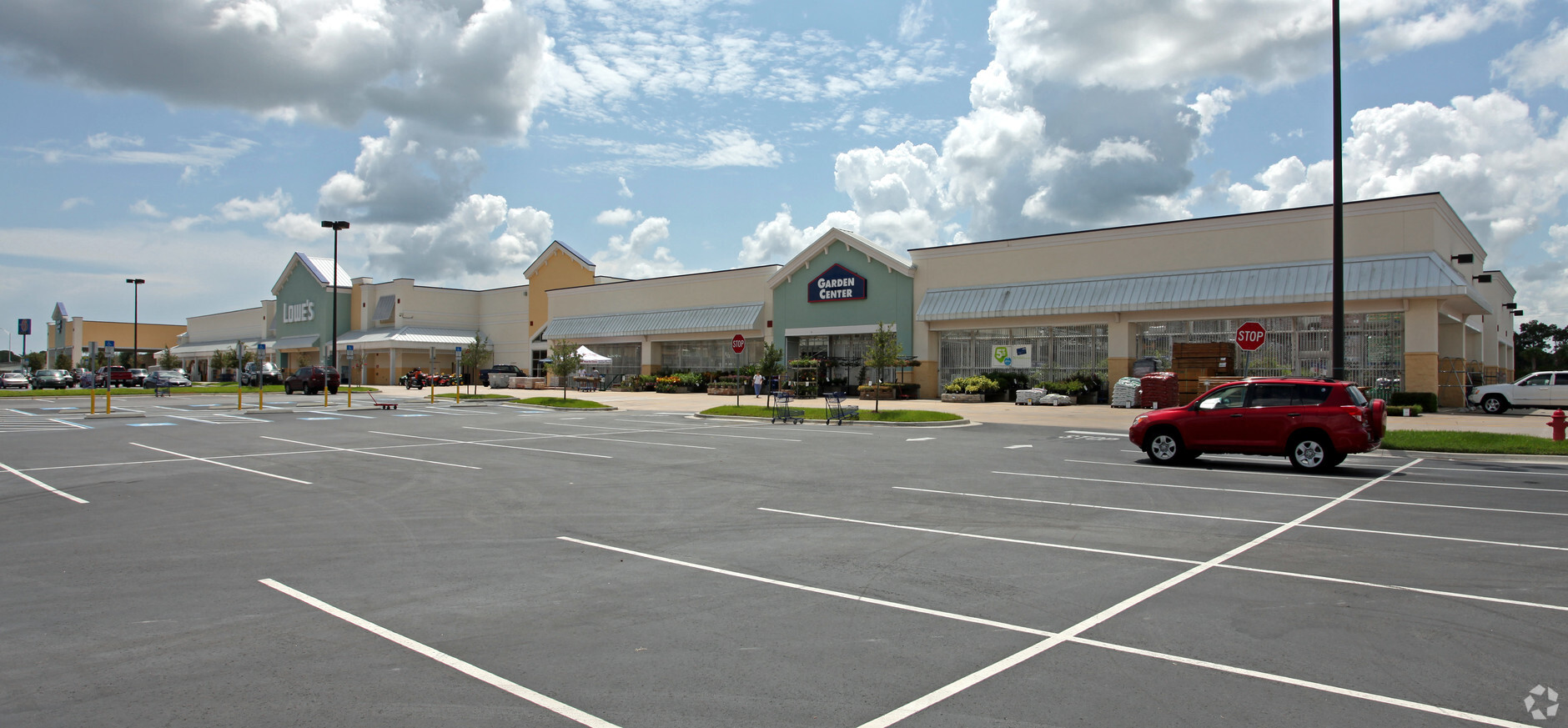
1166 Malabar Rd Se
29-37-04-MZ-0000Q.0-0000.00
Port Malabar Unit 57
Departmentstore
PORT MALABAR UNIT 57 PART OF TRACT Q & PART OF VAC COMMUNITY COLLEGE PKWY AS DESC IN ORB 5863 PG 9425
A
Brevard
12009C0660G
Florida
2023
15.11 AC
2023
Brevard County
071342
Orlando
150,810 SF
Palm Bay-Melbourne-Titusville, FL
DEMOGRAPHICS near 1166 Malabar Rd Se
1 Mile
3 Mile
5 Mile
2024 Total Population
5,946
59,214
145,483
2029 Population
6,513
65,103
160,079
Pop Growth 2024-2029
+ 9.54%
+ 9.95%
+ 10.03%
Average Age
45
43
42
2024 Total Households
2,424
23,439
57,539
HH Growth 2024-2029
+ 9.36%
+ 9.78%
+ 9.83%
Median Household Inc
$42,985
$53,449
$55,994
Avg Household Size
2.40
2.40
2.40
2024 Avg HH Vehicles
2.00
2.00
2.00
Median Home Value
$170,741
$215,752
$223,454
Median Year Built
1986
1989
1991
Nearby Places
- Restaurants
- Banks
- Shops
- Fitness
- Groceries
PUBLIC TRANSPORTATION
AIRPORT
Melbourne Orlando International
DRIVE
WALK
Distance
Melbourne Orlando International
20 min
9.0 mi
Freight Ports
Port Canaveral
DRIVE
WALK
Distance
Port Canaveral
52 min
42.2 mi
Nearby Properties
Address
Land Use
TOTAL SIZE
Lot Size
Zoning
Address
Land Use
TOTAL SIZE
Lot Size
Zoning
292,165 SF
24.39 AC
RM15
Address
Land Use
TOTAL SIZE
Lot Size
Zoning
373,700 SF
12.96 AC
Address
Land Use
TOTAL SIZE
Lot Size
Zoning
284,024 SF
16 AC
IU
Address
Land Use
TOTAL SIZE
Lot Size
Zoning
307,849 SF
39.14 AC
IU
Address
Land Use
TOTAL SIZE
Lot Size
Zoning
349,772 SF
16.27 AC
R2
Address
Land Use
TOTAL SIZE
Lot Size
Zoning
203,448 SF
10.36 AC
C2
Address
Land Use
TOTAL SIZE
Lot Size
Zoning
294,170 SF
70.66 AC
IU
Address
Land Use
TOTAL SIZE
Lot Size
Zoning
260,331 SF
9.90 AC
RM10
Address
Land Use
TOTAL SIZE
Lot Size
Zoning
276,936 SF
18.44 AC
RM20
Address
Land Use
TOTAL SIZE
Lot Size
Zoning
201,017 SF
13.77 AC
RM20
Address
Land Use
TOTAL SIZE
Lot Size
Zoning
225,833 SF
14.45 AC
R2
Address
Land Use
TOTAL SIZE
Lot Size
Zoning
4,000 SF
12.20 AC
IU
Address
Land Use
TOTAL SIZE
Lot Size
Zoning
1,380 SF
21.87 AC
IU
Address
Land Use
TOTAL SIZE
Lot Size
Zoning
143,529 SF
7.76 AC
RM20
Address
Land Use
TOTAL SIZE
Lot Size
Zoning
408,025 SF
24.10 AC
LI
Address
Land Use
TOTAL SIZE
Lot Size
Zoning
290,105 SF
30.94 AC
CC
Address
Land Use
TOTAL SIZE
Lot Size
Zoning
97,093 SF
20.87 AC
Address
Land Use
TOTAL SIZE
Lot Size
Zoning
267,548 SF
23.10 AC
RM10
Address
Land Use
TOTAL SIZE
Lot Size
Zoning
117,568 SF
28.97 AC
IU
Address
Land Use
TOTAL SIZE
Lot Size
Zoning
216,692 SF
28.97 AC
CC
Address
Land Use
TOTAL SIZE
Lot Size
Zoning
118,747 SF
11.43 AC
RM10
Address
Land Use
TOTAL SIZE
Lot Size
Zoning
104,620 SF
12.82 AC
IU
Address
Land Use
TOTAL SIZE
Lot Size
Zoning
106,915 SF
11.01 AC
IU
Address
Land Use
TOTAL SIZE
Lot Size
Zoning
200,850 SF
27.84 AC
CP
Address
Land Use
TOTAL SIZE
Lot Size
Zoning
103,507 SF
24.90 AC
IU
Address
Land Use
TOTAL SIZE
Lot Size
Zoning
222,925 SF
12.75 AC
PUD
Address
Land Use
TOTAL SIZE
Lot Size
Zoning
105,976 SF
18.95 AC
IU
Address
Land Use
TOTAL SIZE
Lot Size
Zoning
86,968 SF
9.86 AC
IU
Address
Land Use
TOTAL SIZE
Lot Size
Zoning
114,600 SF
13.47 AC
CC
Address
Land Use
TOTAL SIZE
Lot Size
Zoning
123,275 SF
13.22 AC
IU
The World's #1 Commercial Real Estate Marketplace
Connect with us
© 2025 CoStar Group
The information above has been obtained from sources believed reliable. While we do not doubt its accuracy we have not verified it and make no guarantee, warranty or representation about it. It is your responsibility to independently confirm its accuracy and completeness. Any projections, opinions, assumptions, or estimates used are for example only and do not represent the current or future performance of the property. The value of this transaction to you depends on tax and other factors which should be evaluated by your tax, financial, and legal advisors. You and your advisors should conduct a careful, independent investigation of the property to determine to your satisfaction the suitability of the property for your needs.