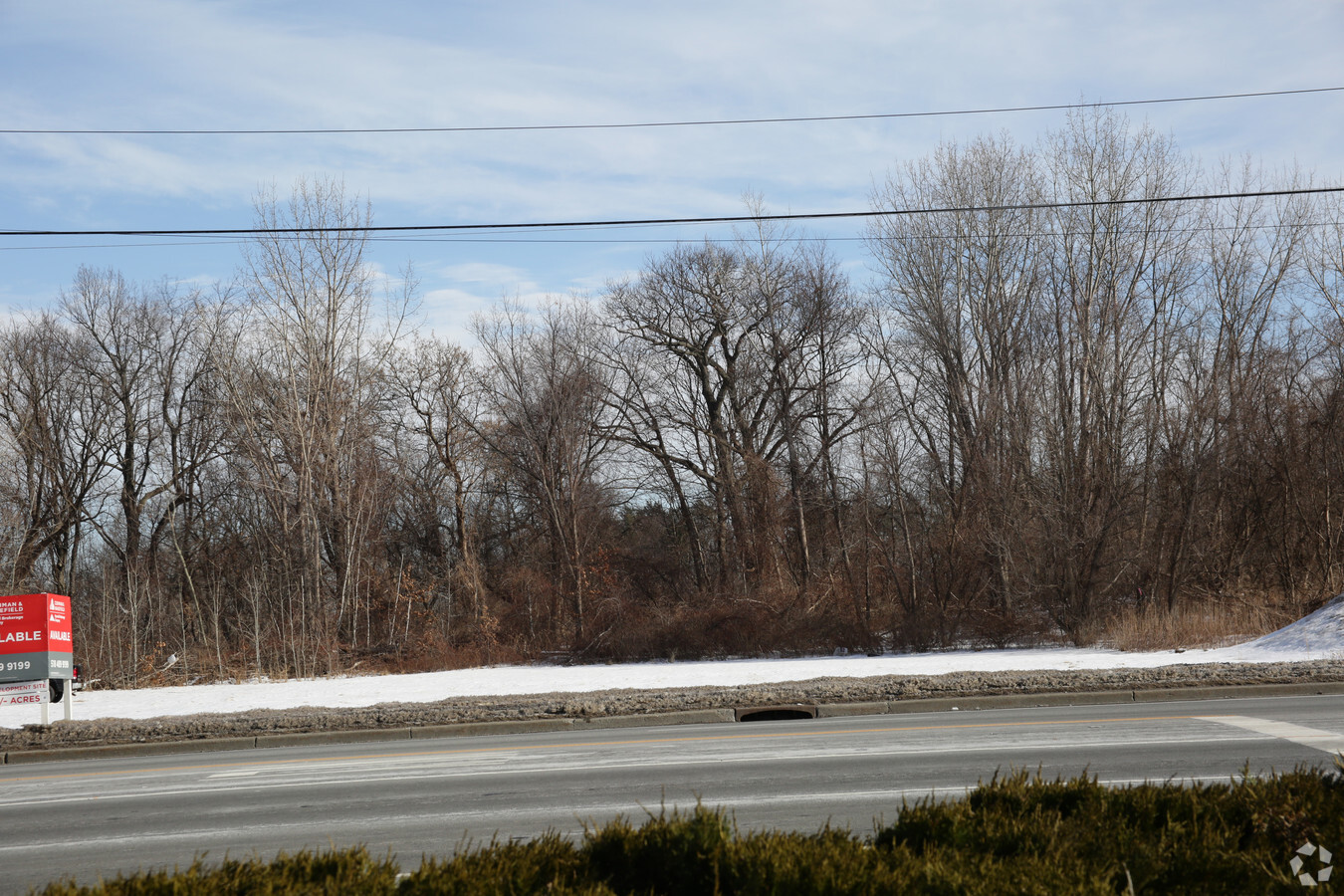
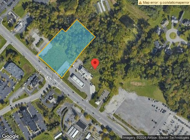
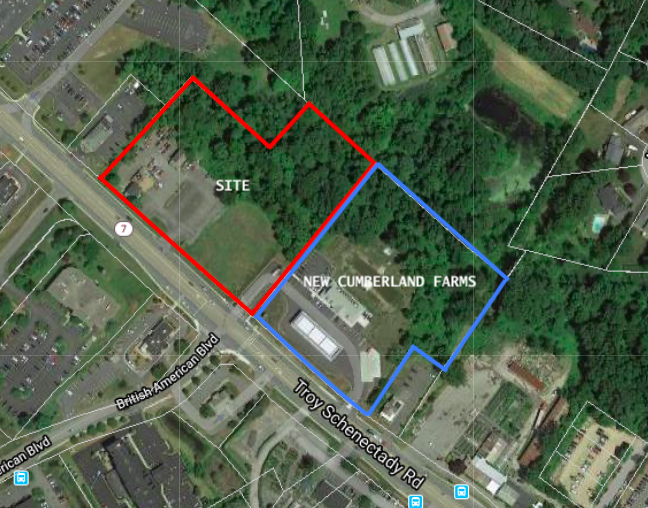
Property Record
1167 Troy Schenectady Rd, Latham, NY 12110

Current Lease Availabilities
NEARBY LISTINGS FOR SALE OR LEASE
Property Detail
1167 Troy Schenectady Rd
Albany-Schenectady-Troy, NY
Lands Of Walfred Associates
012689-008-003-0001-026-123-0000
Albany
Commercialacreage
New York
X
26.123
36001C0064D
3.07 AC
2024
E Outer Albany County
2023
Albany/Schenectady/Troy
013512
DEMOGRAPHICS near 1167 Troy Schenectady Rd
1 Mile
3 Mile
5 Mile
2024 Total Population
2,187
27,632
104,667
2029 Population
2,226
28,049
106,182
Pop Growth 2024-2029
+ 1.78%
+ 1.51%
+ 1.45%
Average Age
43
42
43
2024 Total Households
727
10,738
42,416
HH Growth 2024-2029
+ 1.93%
+ 1.54%
+ 1.44%
Median Household Inc
$125,543
$99,970
$95,443
Avg Household Size
2.70
2.50
2.40
2024 Avg HH Vehicles
2.00
2.00
2.00
Median Home Value
$328,643
$296,414
$276,564
Median Year Built
1974
1977
1973
Nearby Places
- Restaurants
- Banks
- Shops
- Fitness
- Groceries
Nearby Properties
Address
Land Use
TOTAL SIZE
Lot Size
Zoning
Address
Land Use
TOTAL SIZE
Lot Size
Zoning
821,670 SF
802.50 AC
17
Address
Land Use
TOTAL SIZE
Lot Size
Zoning
154,580 SF
89.34 AC
16
Address
Land Use
TOTAL SIZE
Lot Size
Zoning
242,658 SF
27.60 AC
19
Address
Land Use
TOTAL SIZE
Lot Size
Zoning
90,316 SF
57.10 AC
04 - FARM
Address
Land Use
TOTAL SIZE
Lot Size
Zoning
226,171 SF
26.39 AC
12
Address
Land Use
TOTAL SIZE
Lot Size
Zoning
84,242 SF
43.60 AC
12
Address
Land Use
TOTAL SIZE
Lot Size
Zoning
25,786 SF
8 AC
17
Address
Land Use
TOTAL SIZE
Lot Size
Zoning
8,084 SF
36.30 AC
25
Address
Land Use
TOTAL SIZE
Lot Size
Zoning
167,222 SF
15.65 AC
14
Address
Land Use
TOTAL SIZE
Lot Size
Zoning
162,500 SF
19.90 AC
17
Address
Land Use
TOTAL SIZE
Lot Size
Zoning
20,444 SF
40.95 AC
02 - SINGL
Address
Land Use
TOTAL SIZE
Lot Size
Zoning
151,287 SF
11.20 AC
12
Address
Land Use
TOTAL SIZE
Lot Size
Zoning
73,736 SF
7.58 AC
14
Address
Land Use
TOTAL SIZE
Lot Size
Zoning
83,120 SF
126.75 AC
25
Address
Land Use
TOTAL SIZE
Lot Size
Zoning
214,716 SF
28.40 AC
19
Address
Land Use
TOTAL SIZE
Lot Size
Zoning
9,774 SF
49.20 AC
43
Address
Land Use
TOTAL SIZE
Lot Size
Zoning
303 SF
29.20 AC
CN
Address
Land Use
TOTAL SIZE
Lot Size
Zoning
53,852 SF
43.35 AC
25
Address
Land Use
TOTAL SIZE
Lot Size
Zoning
25,112 SF
13.16 AC
04 - FARM
Address
Land Use
TOTAL SIZE
Lot Size
Zoning
186,095 SF
14.94 AC
12
Address
Land Use
TOTAL SIZE
Lot Size
Zoning
108,656 SF
6.44 AC
12
Address
Land Use
TOTAL SIZE
Lot Size
Zoning
10,088 SF
30.04 AC
08 - GOVER
Address
Land Use
TOTAL SIZE
Lot Size
Zoning
144,030 SF
19.70 AC
19
Address
Land Use
TOTAL SIZE
Lot Size
Zoning
6,904 SF
9.92 AC
16
Address
Land Use
TOTAL SIZE
Lot Size
Zoning
16,545 SF
21.40 AC
04 - FARM
Address
Land Use
TOTAL SIZE
Lot Size
Zoning
133,112 SF
17.56 AC
16
Address
Land Use
TOTAL SIZE
Lot Size
Zoning
149,241 SF
26.80 AC
17
Address
Land Use
TOTAL SIZE
Lot Size
Zoning
83,800 SF
3.84 AC
14
Address
Land Use
TOTAL SIZE
Lot Size
Zoning
6,944 SF
13.02 AC
R3
Address
Land Use
TOTAL SIZE
Lot Size
Zoning
111,888 SF
9.60 AC
17
The World's #1 Commercial Real Estate Marketplace
Connect with us
© 2025 CoStar Group
The information above has been obtained from sources believed reliable. While we do not doubt its accuracy we have not verified it and make no guarantee, warranty or representation about it. It is your responsibility to independently confirm its accuracy and completeness. Any projections, opinions, assumptions, or estimates used are for example only and do not represent the current or future performance of the property. The value of this transaction to you depends on tax and other factors which should be evaluated by your tax, financial, and legal advisors. You and your advisors should conduct a careful, independent investigation of the property to determine to your satisfaction the suitability of the property for your needs.