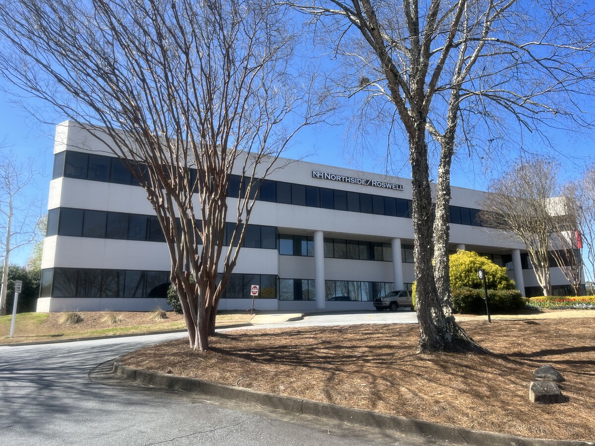
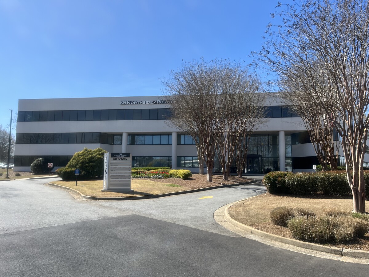
Property Record
11685 Alpharetta Hwy, Roswell, GA 30076
Current Lease Availabilities
NEARBY LISTINGS FOR SALE OR LEASE
Property Detail
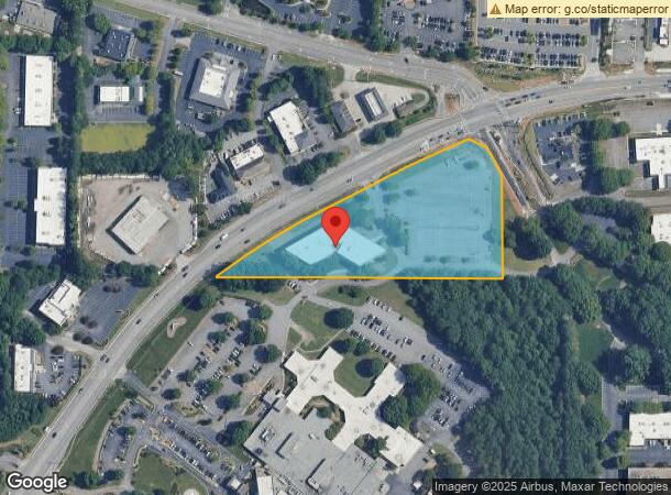
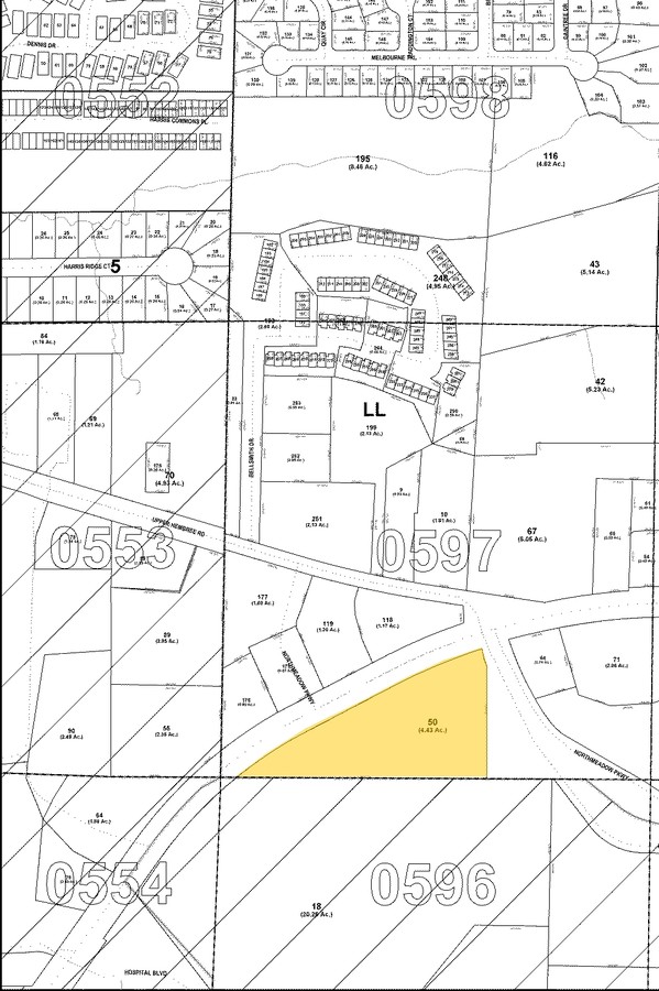
11685 Alpharetta Hwy
12-2340-0600-050-9
Northside Hospital Inc
Medicalbuilding
Fulton
X
Georgia
13057C0380E
4.84 AC
2023
N Fulton/Forsyth County
2023
Atlanta
011416
Atlanta-Sandy Springs-Roswell, GA
62,172 SF
DEMOGRAPHICS near 11685 Alpharetta Hwy
1 Mile
3 Mile
5 Mile
2024 Total Population
5,826
66,583
165,722
2029 Population
5,968
68,142
169,557
Pop Growth 2024-2029
+ 2.44%
+ 2.34%
+ 2.31%
Average Age
39
40
39
2024 Total Households
2,376
26,376
63,922
HH Growth 2024-2029
+ 2.65%
+ 2.55%
+ 2.41%
Median Household Inc
$127,965
$124,952
$119,870
Avg Household Size
2.40
2.50
2.50
2024 Avg HH Vehicles
2.00
2.00
2.00
Median Home Value
$367,142
$458,319
$473,399
Median Year Built
1992
1993
1992
Nearby Places
- Restaurants
- Banks
- Shops
- Fitness
- Groceries
PUBLIC TRANSPORTATION
AIRPORT
Hartsfield - Jackson Atlanta International
DRIVE
WALK
Distance
Hartsfield - Jackson Atlanta International
49 min
34.1 mi
Freight Ports
Georgia Ports - Savannah
DRIVE
WALK
Distance
Georgia Ports - Savannah
312 min
273.4 mi
Nearby Properties
Address
Land Use
TOTAL SIZE
Lot Size
Zoning
Address
Land Use
TOTAL SIZE
Lot Size
Zoning
1,080,765 SF
36.65 AC
MIX
Address
Land Use
TOTAL SIZE
Lot Size
Zoning
780,641 SF
50.89 AC
OI
Address
Land Use
TOTAL SIZE
Lot Size
Zoning
11.82 AC
Address
Land Use
TOTAL SIZE
Lot Size
Zoning
308,887 SF
18.10 AC
C3C
Address
Land Use
TOTAL SIZE
Lot Size
Zoning
415,701 SF
6.75 AC
OI
Address
Land Use
TOTAL SIZE
Lot Size
Zoning
699,024 SF
6.79 AC
MIX
Address
Land Use
TOTAL SIZE
Lot Size
Zoning
604,953 SF
3.30 AC
MIX
Address
Land Use
TOTAL SIZE
Lot Size
Zoning
470,588 SF
8.55 AC
OI
Address
Land Use
TOTAL SIZE
Lot Size
Zoning
241,349 SF
37 AC
OI
Address
Land Use
TOTAL SIZE
Lot Size
Zoning
384,371 SF
26.51 AC
OI
Address
Land Use
TOTAL SIZE
Lot Size
Zoning
303,485 SF
1.44 AC
C2
Address
Land Use
TOTAL SIZE
Lot Size
Zoning
312,717 SF
21.22 AC
C3
Address
Land Use
TOTAL SIZE
Lot Size
Zoning
556,340 SF
46.55 AC
R4
Address
Land Use
TOTAL SIZE
Lot Size
Zoning
301,361 SF
70.17 AC
OP
Address
Land Use
TOTAL SIZE
Lot Size
Zoning
293,276 SF
28 AC
PSC
Address
Land Use
TOTAL SIZE
Lot Size
Zoning
294,122 SF
11.80 AC
R4
Address
Land Use
TOTAL SIZE
Lot Size
Zoning
367,876 SF
41.40 AC
PSC
Address
Land Use
TOTAL SIZE
Lot Size
Zoning
310,209 SF
33 AC
R4C
Address
Land Use
TOTAL SIZE
Lot Size
Zoning
296,485 SF
38.74 AC
R4
Address
Land Use
TOTAL SIZE
Lot Size
Zoning
308,494 SF
2.64 AC
OI
Address
Land Use
TOTAL SIZE
Lot Size
Zoning
185,000 SF
38.80 AC
OI
Address
Land Use
TOTAL SIZE
Lot Size
Zoning
263,468 SF
4.77 AC
OI
Address
Land Use
TOTAL SIZE
Lot Size
Zoning
247,639 SF
0.68 AC
MIX
Address
Land Use
TOTAL SIZE
Lot Size
Zoning
168,472 SF
Address
Land Use
TOTAL SIZE
Lot Size
Zoning
291,971 SF
19.09 AC
R4
Address
Land Use
TOTAL SIZE
Lot Size
Zoning
306,753 SF
19.77 AC
HMS
Address
Land Use
TOTAL SIZE
Lot Size
Zoning
2,289 SF
84.27 AC
AG1
Address
Land Use
TOTAL SIZE
Lot Size
Zoning
286,394 SF
39.10 AC
R1
Address
Land Use
TOTAL SIZE
Lot Size
Zoning
216,794 SF
6.66 AC
OI
Address
Land Use
TOTAL SIZE
Lot Size
Zoning
402,680 SF
35.81 AC
The World's #1 Commercial Real Estate Marketplace
Connect with us
© 2025 CoStar Group
The information above has been obtained from sources believed reliable. While we do not doubt its accuracy we have not verified it and make no guarantee, warranty or representation about it. It is your responsibility to independently confirm its accuracy and completeness. Any projections, opinions, assumptions, or estimates used are for example only and do not represent the current or future performance of the property. The value of this transaction to you depends on tax and other factors which should be evaluated by your tax, financial, and legal advisors. You and your advisors should conduct a careful, independent investigation of the property to determine to your satisfaction the suitability of the property for your needs.