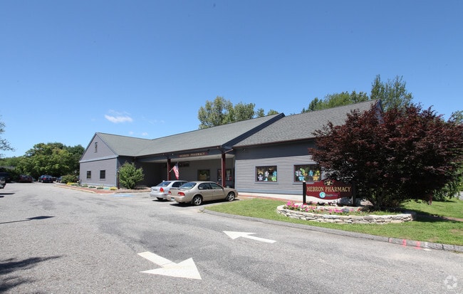
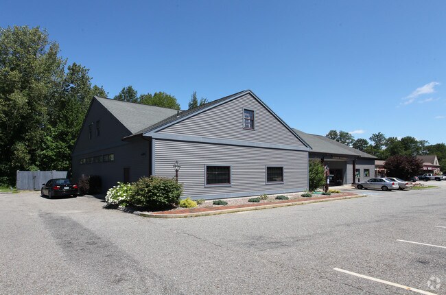
Property Record
117 Main St, Hebron, CT 06248

NEARBY LISTINGS FOR SALE OR LEASE
Property Detail
117 Main St
Hartford-West Hartford-East Hartford, CT
Tolland
HEBR-000013-000000-000018-000002A
Connecticut
Medicalbuilding
18.2a
2024
0.79 AC
2024
Tolland County
526102
Hartford
6,494 SF
DEMOGRAPHICS near 117 Main St
1 Mile
3 Mile
5 Mile
2024 Total Population
1,216
6,993
17,353
2029 Population
1,210
6,970
17,290
Pop Growth 2024-2029
(0.49%)
(0.33%)
(0.36%)
Average Age
43
43
44
2024 Total Households
469
2,658
6,676
HH Growth 2024-2029
(0.43%)
(0.38%)
(0.42%)
Median Household Inc
$118,055
$130,705
$125,341
Avg Household Size
2.60
2.60
2.60
2024 Avg HH Vehicles
2.00
2.00
2.00
Median Home Value
$329,729
$323,109
$324,638
Median Year Built
1983
1983
1981
Nearby Places
- Restaurants
- Banks
- Shops
- Fitness
- Groceries
PUBLIC TRANSPORTATION
AIRPORT
Bradley International
DRIVE
WALK
Distance
Bradley International
58 min
38.2 mi
Freight Ports
Port of New Haven
DRIVE
WALK
Distance
Port of New Haven
66 min
47.4 mi
Nearby Properties
Address
Land Use
TOTAL SIZE
Lot Size
Zoning
Address
Land Use
TOTAL SIZE
Lot Size
Zoning
51.66 AC
R-1
Address
Land Use
TOTAL SIZE
Lot Size
Zoning
82,384 SF
7.50 AC
R-1
Address
Land Use
TOTAL SIZE
Lot Size
Zoning
88,808 SF
25.90 AC
R-1
Address
Land Use
TOTAL SIZE
Lot Size
Zoning
13,030 SF
2.34 AC
MS
Address
Land Use
TOTAL SIZE
Lot Size
Zoning
34,102 SF
5.93 AC
MS
Address
Land Use
TOTAL SIZE
Lot Size
Zoning
15.92 AC
R-1
Address
Land Use
TOTAL SIZE
Lot Size
Zoning
5.07 AC
MS
Address
Land Use
TOTAL SIZE
Lot Size
Zoning
11,879 SF
7.93 AC
R-1
Address
Land Use
TOTAL SIZE
Lot Size
Zoning
17.50 AC
R-1
Address
Land Use
TOTAL SIZE
Lot Size
Zoning
8,739 SF
0.70 AC
HG
Address
Land Use
TOTAL SIZE
Lot Size
Zoning
9.67 AC
R-1
Address
Land Use
TOTAL SIZE
Lot Size
Zoning
4.53 AC
R-1
Address
Land Use
TOTAL SIZE
Lot Size
Zoning
9,718 SF
4.07 AC
R-1
Address
Land Use
TOTAL SIZE
Lot Size
Zoning
12,412 SF
109.09 AC
R-1
Address
Land Use
TOTAL SIZE
Lot Size
Zoning
9,153 SF
1.44 AC
MS
Address
Land Use
TOTAL SIZE
Lot Size
Zoning
6,374 SF
12.68 AC
R-1
Address
Land Use
TOTAL SIZE
Lot Size
Zoning
4.03 AC
R-1
Address
Land Use
TOTAL SIZE
Lot Size
Zoning
3.50 AC
R-1
Address
Land Use
TOTAL SIZE
Lot Size
Zoning
3,224 SF
1.54 AC
MS
Address
Land Use
TOTAL SIZE
Lot Size
Zoning
945 SF
15.67 AC
R-1
Address
Land Use
TOTAL SIZE
Lot Size
Zoning
Address
Land Use
TOTAL SIZE
Lot Size
Zoning
2,082 SF
173.09 AC
RAR
Address
Land Use
TOTAL SIZE
Lot Size
Zoning
6,192 SF
1.39 AC
MS
Address
Land Use
TOTAL SIZE
Lot Size
Zoning
3.73 AC
R-1
Address
Land Use
TOTAL SIZE
Lot Size
Zoning
14,200 SF
6.54 AC
AV
Address
Land Use
TOTAL SIZE
Lot Size
Zoning
7,756 SF
1.08 AC
MS
Address
Land Use
TOTAL SIZE
Lot Size
Zoning
6,192 SF
1.50 AC
HG
Address
Land Use
TOTAL SIZE
Lot Size
Zoning
88.62 AC
VS
Address
Land Use
TOTAL SIZE
Lot Size
Zoning
29.60 AC
NC
The World's #1 Commercial Real Estate Marketplace
Connect with us
© 2025 CoStar Group
The information above has been obtained from sources believed reliable. While we do not doubt its accuracy we have not verified it and make no guarantee, warranty or representation about it. It is your responsibility to independently confirm its accuracy and completeness. Any projections, opinions, assumptions, or estimates used are for example only and do not represent the current or future performance of the property. The value of this transaction to you depends on tax and other factors which should be evaluated by your tax, financial, and legal advisors. You and your advisors should conduct a careful, independent investigation of the property to determine to your satisfaction the suitability of the property for your needs.