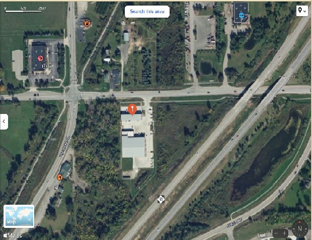
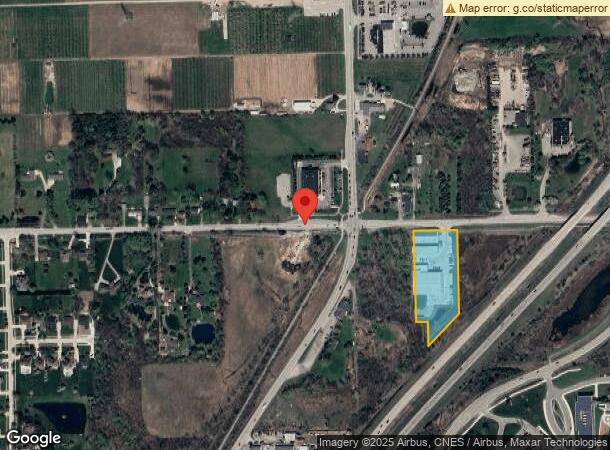
Property Record
11710 29 Mile Rd, Washington, MI 48094

NEARBY LISTINGS FOR SALE OR LEASE
-
-
View all Washington listings for lease on LoopNet.com
Property Detail
11710 29 Mile Rd
24-04-23-100-023
T4N R12E SEC 23; COMM AT NW COR OF SEC 23; TH EAST 330.00 FT; TH S00*07'00"W 60.00 FT TO POB;' TH EAST 266.00 FT; TH S
Industrialgeneral
Macomb
X
Michigan
26099C0120G
3.14 AC
2023
St Clair & Lapeer Counties
2024
Detroit
215000
Detroit-Warren-Dearborn, MI
DEMOGRAPHICS near 11710 29 Mile Rd
1 Mile
3 Mile
5 Mile
2024 Total Population
2,092
22,964
63,885
2029 Population
2,087
22,918
63,451
Pop Growth 2024-2029
(0.24%)
(0.20%)
(0.68%)
Average Age
43
43
42
2024 Total Households
762
8,860
23,794
HH Growth 2024-2029
(0.39%)
(0.24%)
(0.66%)
Median Household Inc
$115,624
$89,438
$102,086
Avg Household Size
2.70
2.60
2.70
2024 Avg HH Vehicles
2.00
2.00
2.00
Median Home Value
$456,572
$387,747
$385,074
Median Year Built
2001
1994
1995
Nearby Places
- Restaurants
- Banks
- Shops
- Fitness
- Groceries
SALE & LEASE HISTORY
LISTING DATE
SALE/LEASE

Feb 13, 2024
For Lease
Aug 21, 2023
For Lease
Nearby Properties
Address
Land Use
TOTAL SIZE
Lot Size
Zoning
Address
Land Use
TOTAL SIZE
Lot Size
Zoning
160,104 SF
22.65 AC
CONSENT-R1
Address
Land Use
TOTAL SIZE
Lot Size
Zoning
81,488 SF
14.54 AC
VILLAGE
Address
Land Use
TOTAL SIZE
Lot Size
Zoning
217,654 SF
26.88 AC
CONSENT-GC
Address
Land Use
TOTAL SIZE
Lot Size
Zoning
128,299 SF
6.92 AC
V1
Address
Land Use
TOTAL SIZE
Lot Size
Zoning
188,047 SF
24.76 AC
RM2
Address
Land Use
TOTAL SIZE
Lot Size
Zoning
90,519 SF
4.12 AC
V1
Address
Land Use
TOTAL SIZE
Lot Size
Zoning
152,601 SF
13.90 AC
RM2
Address
Land Use
TOTAL SIZE
Lot Size
Zoning
60,995 SF
19.75 AC
IND
Address
Land Use
TOTAL SIZE
Lot Size
Zoning
95,977 SF
4.24 AC
V1
Address
Land Use
TOTAL SIZE
Lot Size
Zoning
92,728 SF
14.88 AC
GC
Address
Land Use
TOTAL SIZE
Lot Size
Zoning
58,233 SF
17.47 AC
IND
Address
Land Use
TOTAL SIZE
Lot Size
Zoning
194,122 SF
19.28 AC
V1
Address
Land Use
TOTAL SIZE
Lot Size
Zoning
112,512 SF
6.46 AC
CONSENT-R1
Address
Land Use
TOTAL SIZE
Lot Size
Zoning
105,929 SF
8.04 AC
CONSENT-R1
Address
Land Use
TOTAL SIZE
Lot Size
Zoning
123,624 SF
13.05 AC
VILLAGE
Address
Land Use
TOTAL SIZE
Lot Size
Zoning
35,935 SF
5.57 AC
GC
Address
Land Use
TOTAL SIZE
Lot Size
Zoning
4,716 SF
71 AC
MHC
Address
Land Use
TOTAL SIZE
Lot Size
Zoning
65,768 SF
2.77 AC
V1
Address
Land Use
TOTAL SIZE
Lot Size
Zoning
35,798 SF
84.03 AC
A1
Address
Land Use
TOTAL SIZE
Lot Size
Zoning
53,776 SF
2.60 AC
CONSENT-R1
Address
Land Use
TOTAL SIZE
Lot Size
Zoning
57,378 SF
2.49 AC
CONSENT-R1
Address
Land Use
TOTAL SIZE
Lot Size
Zoning
70 AC
CONSENT-RM
Address
Land Use
TOTAL SIZE
Lot Size
Zoning
24,660 SF
2.65 AC
GC
Address
Land Use
TOTAL SIZE
Lot Size
Zoning
40,319 SF
12.10 AC
GC
Address
Land Use
TOTAL SIZE
Lot Size
Zoning
14,354 SF
4.89 AC
LC
Address
Land Use
TOTAL SIZE
Lot Size
Zoning
39,416 SF
9.06 AC
GC
Address
Land Use
TOTAL SIZE
Lot Size
Zoning
20,016 SF
1.42 AC
V1
Address
Land Use
TOTAL SIZE
Lot Size
Zoning
72,025 SF
7.74 AC
GC
Address
Land Use
TOTAL SIZE
Lot Size
Zoning
8.37 AC
GC
Address
Land Use
TOTAL SIZE
Lot Size
Zoning
18,104 SF
3.81 AC
CONSENT-GC
The World's #1 Commercial Real Estate Marketplace
Connect with us
© 2025 CoStar Group
The information above has been obtained from sources believed reliable. While we do not doubt its accuracy we have not verified it and make no guarantee, warranty or representation about it. It is your responsibility to independently confirm its accuracy and completeness. Any projections, opinions, assumptions, or estimates used are for example only and do not represent the current or future performance of the property. The value of this transaction to you depends on tax and other factors which should be evaluated by your tax, financial, and legal advisors. You and your advisors should conduct a careful, independent investigation of the property to determine to your satisfaction the suitability of the property for your needs.