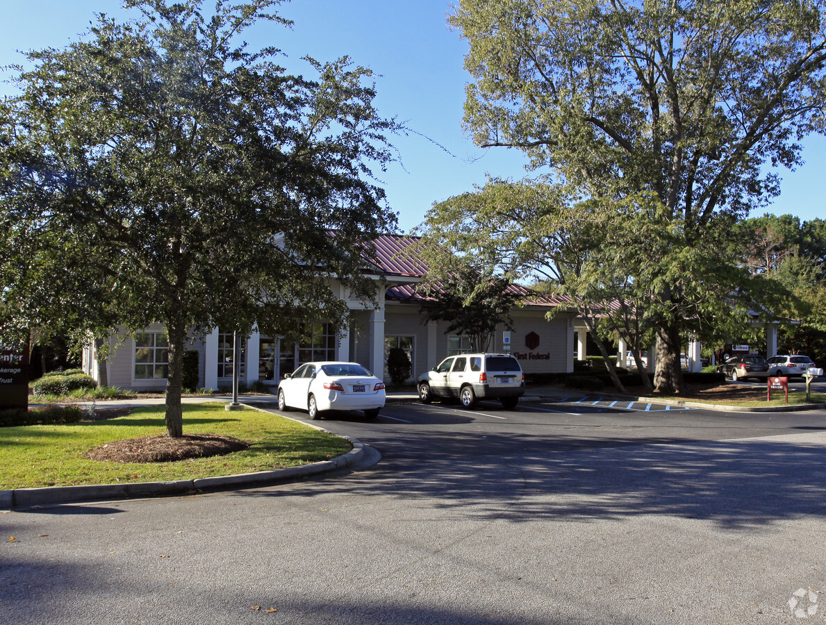
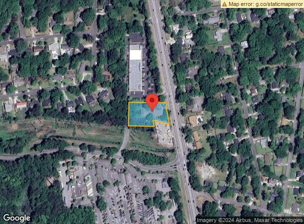
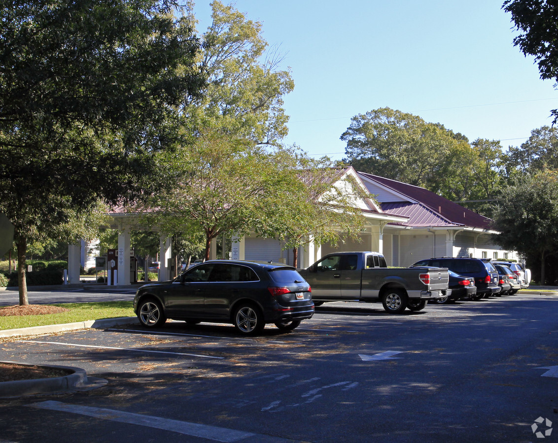
Property Record
1185 Folly Rd, Charleston, SC 29412
NEARBY LISTINGS FOR SALE OR LEASE
Property Detail
1185 Folly Rd
337-08-00-120
Queensborough
Officebuilding
LEGAL DESCRIPTION SUBDIVISION NAME -QUEENSBOROUGH DESCRIPTION -PARCEL 2 PLATSUFFIX EE-915- POLTWP 009
X
Charleston
45019C0677K
South Carolina
2024
0.86 AC
2023
James Island/Folly Beach
002008
Charleston/N Charleston
4,226 SF
Charleston-North Charleston, SC
DEMOGRAPHICS near 1185 Folly Rd
1 Mile
3 Mile
5 Mile
2024 Total Population
8,418
34,462
75,134
2029 Population
8,904
36,682
80,609
Pop Growth 2024-2029
+ 5.77%
+ 6.44%
+ 7.29%
Average Age
43
41
41
2024 Total Households
3,978
15,315
33,891
HH Growth 2024-2029
+ 5.63%
+ 6.37%
+ 7.22%
Median Household Inc
$78,850
$86,029
$84,268
Avg Household Size
2.10
2.20
2.10
2024 Avg HH Vehicles
2.00
2.00
2.00
Median Home Value
$316,184
$380,672
$446,369
Median Year Built
1986
1988
1981
Nearby Places
- Restaurants
- Banks
- Shops
- Fitness
- Groceries
PUBLIC TRANSPORTATION
AIRPORT
Charleston AFB/International
Drive
Walk
Distance
Charleston AFB/International
30 min
17.5 mi
Freight Ports
Columbus Street Terminal
Drive
Walk
Distance
Columbus Street Terminal
11 min
6.7 mi
Nearby Properties
Address
Land Use
TOTAL SIZE
Lot Size
Zoning
Address
Land Use
TOTAL SIZE
Lot Size
Zoning
3780
14.35 AC
Address
Land Use
TOTAL SIZE
Lot Size
Zoning
14474
23.53 AC
Address
Land Use
TOTAL SIZE
Lot Size
Zoning
10374
0.15 AC
LAR3
Address
Land Use
TOTAL SIZE
Lot Size
Zoning
257500
4.72 AC
Address
Land Use
TOTAL SIZE
Lot Size
Zoning
12766
1.72 AC
Address
Land Use
TOTAL SIZE
Lot Size
Zoning
Address
Land Use
TOTAL SIZE
Lot Size
Zoning
16775
5.93 AC
Address
Land Use
TOTAL SIZE
Lot Size
Zoning
Address
Land Use
TOTAL SIZE
Lot Size
Zoning
3.11 AC
Address
Land Use
TOTAL SIZE
Lot Size
Zoning
Address
Land Use
TOTAL SIZE
Lot Size
Zoning
2896
18.13 AC
Address
Land Use
TOTAL SIZE
Lot Size
Zoning
65397
2.46 AC
Address
Land Use
TOTAL SIZE
Lot Size
Zoning
11.80 AC
Address
Land Use
TOTAL SIZE
Lot Size
Zoning
5988
10 AC
Address
Land Use
TOTAL SIZE
Lot Size
Zoning
7.46 AC
Address
Land Use
TOTAL SIZE
Lot Size
Zoning
3.94 AC
Address
Land Use
TOTAL SIZE
Lot Size
Zoning
Address
Land Use
TOTAL SIZE
Lot Size
Zoning
8172
8.89 AC
Address
Land Use
TOTAL SIZE
Lot Size
Zoning
39428
17.98 AC
Address
Land Use
TOTAL SIZE
Lot Size
Zoning
1348
6.87 AC
Address
Land Use
TOTAL SIZE
Lot Size
Zoning
27900
158.54 AC
Address
Land Use
TOTAL SIZE
Lot Size
Zoning
3150
0.07 AC
RM1
Address
Land Use
TOTAL SIZE
Lot Size
Zoning
122930
22.78 AC
Address
Land Use
TOTAL SIZE
Lot Size
Zoning
61072
6.38 AC
Address
Land Use
TOTAL SIZE
Lot Size
Zoning
37889
11.06 AC
Address
Land Use
TOTAL SIZE
Lot Size
Zoning
16188
2.28 AC
Address
Land Use
TOTAL SIZE
Lot Size
Zoning
119883
14.95 AC
Address
Land Use
TOTAL SIZE
Lot Size
Zoning
2459
0.39 AC
Address
Land Use
TOTAL SIZE
Lot Size
Zoning
66474
4.51 AC
Address
Land Use
TOTAL SIZE
Lot Size
Zoning
34233
9.64 AC
Start a new search to find other properties for sale or lease
Connect with us
© 2024 CoStar Group
The information above has been obtained from sources believed reliable. While we do not doubt its accuracy we have not verified it and make no guarantee, warranty or representation about it. It is your responsibility to independently confirm its accuracy and completeness. Any projections, opinions, assumptions, or estimates used are for example only and do not represent the current or future performance of the property. The value of this transaction to you depends on tax and other factors which should be evaluated by your tax, financial, and legal advisors. You and your advisors should conduct a careful, independent investigation of the property to determine to your satisfaction the suitability of the property for your needs.