Property Record
1188 Bishop St, Honolulu, HI 96813

This Property Is For Sale
Current Lease Availabilities
NEARBY LISTINGS FOR SALE OR LEASE
Property Detail
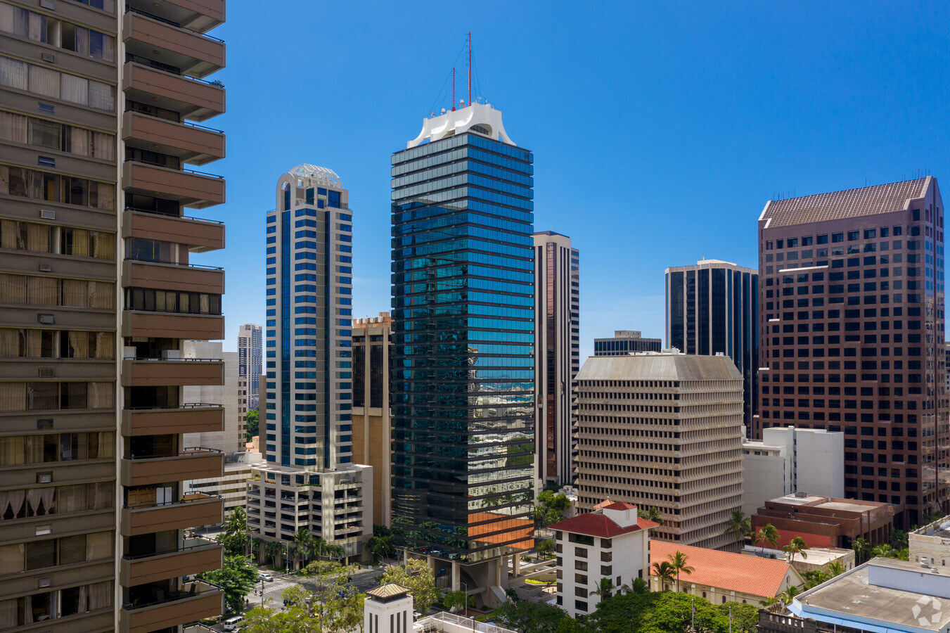
1188 Bishop St
1-2-1-010-046-0278
Century Square
Commercialnec
Honolulu
X
Hawaii
15003C0362G
18
2024
0.74 AC
2024
CBD
004000
Hawaii
506 SF
Urban Honolulu, HI
DEMOGRAPHICS near 1188 Bishop St
1 Mile
3 Mile
5 Mile
2024 Total Population
57,496
237,852
354,363
2029 Population
56,967
235,123
349,715
Pop Growth 2024-2029
(0.92%)
(1.15%)
(1.31%)
Average Age
44
44
44
2024 Total Households
25,791
98,272
141,468
HH Growth 2024-2029
(1.26%)
(1.00%)
(1.24%)
Median Household Inc
$65,936
$70,097
$74,619
Avg Household Size
2.10
2.20
2.30
2024 Avg HH Vehicles
1.00
1.00
1.00
Median Home Value
$642,192
$703,394
$764,206
Median Year Built
1979
1974
1973
Nearby Places
- Restaurants
- Banks
- Shops
- Fitness
- Groceries
PUBLIC TRANSPORTATION
AIRPORT
Honolulu International
DRIVE
WALK
Distance
Honolulu International
12 min
6.6 mi
Nearby Properties
Address
Land Use
TOTAL SIZE
Lot Size
Zoning
Address
Land Use
TOTAL SIZE
Lot Size
Zoning
7,944,402 SF
34.93 AC
U/33/30
Address
Land Use
TOTAL SIZE
Lot Size
Zoning
491,116 SF
9.06 AC
U/X6/20
Address
Land Use
TOTAL SIZE
Lot Size
Zoning
119.90 AC
U/X7/60
Address
Land Use
TOTAL SIZE
Lot Size
Zoning
1,675.63 AC
C/61/60
Address
Land Use
TOTAL SIZE
Lot Size
Zoning
13,088 SF
75.21 AC
U/62/90
Address
Land Use
TOTAL SIZE
Lot Size
Zoning
1,100,000 SF
9.65 AC
U/33/30
Address
Land Use
TOTAL SIZE
Lot Size
Zoning
495,002 SF
2.42 AC
U/X6/20
Address
Land Use
TOTAL SIZE
Lot Size
Zoning
1,153,381 SF
425.42 AC
C/61/70
Address
Land Use
TOTAL SIZE
Lot Size
Zoning
471,798 SF
6.31 AC
U/X5/30
Address
Land Use
TOTAL SIZE
Lot Size
Zoning
130,002 SF
2.50 AC
U/X6/20
Address
Land Use
TOTAL SIZE
Lot Size
Zoning
45.65 AC
U/KA/70
Address
Land Use
TOTAL SIZE
Lot Size
Zoning
42.67 AC
U/62/90
Address
Land Use
TOTAL SIZE
Lot Size
Zoning
1,339,500 SF
7.27 AC
U/33/30
Address
Land Use
TOTAL SIZE
Lot Size
Zoning
483,862 SF
2.92 AC
U/34/30
Address
Land Use
TOTAL SIZE
Lot Size
Zoning
172,305 SF
2.54 AC
U/X6/70
Address
Land Use
TOTAL SIZE
Lot Size
Zoning
64,300 SF
0.77 AC
U/X6/20
Address
Land Use
TOTAL SIZE
Lot Size
Zoning
104,386 SF
1.04 AC
U/X6/20
Address
Land Use
TOTAL SIZE
Lot Size
Zoning
12,430 SF
86.69 AC
U/43/70
Address
Land Use
TOTAL SIZE
Lot Size
Zoning
142,306 SF
3.02 AC
U/X6/20
Address
Land Use
TOTAL SIZE
Lot Size
Zoning
9,272 SF
141.38 AC
U/62/70
Address
Land Use
TOTAL SIZE
Lot Size
Zoning
240,702 SF
2.60 AC
U/X6/20
Address
Land Use
TOTAL SIZE
Lot Size
Zoning
446,464 SF
9.90 AC
U/KA/30
Address
Land Use
TOTAL SIZE
Lot Size
Zoning
22.36 AC
U/X7/70
Address
Land Use
TOTAL SIZE
Lot Size
Zoning
66,180 SF
1.61 AC
U/X6/20
Address
Land Use
TOTAL SIZE
Lot Size
Zoning
14.38 AC
U/KA/70
Address
Land Use
TOTAL SIZE
Lot Size
Zoning
936,400 SF
6.88 AC
U/KA/30
Address
Land Use
TOTAL SIZE
Lot Size
Zoning
386,846 SF
8.76 AC
U/11/70
Address
Land Use
TOTAL SIZE
Lot Size
Zoning
960 SF
71.97 AC
U/62/90
Address
Land Use
TOTAL SIZE
Lot Size
Zoning
158,215 SF
1.83 AC
U/34/30
The World's #1 Commercial Real Estate Marketplace
Connect with us
© 2025 CoStar Group
The information above has been obtained from sources believed reliable. While we do not doubt its accuracy we have not verified it and make no guarantee, warranty or representation about it. It is your responsibility to independently confirm its accuracy and completeness. Any projections, opinions, assumptions, or estimates used are for example only and do not represent the current or future performance of the property. The value of this transaction to you depends on tax and other factors which should be evaluated by your tax, financial, and legal advisors. You and your advisors should conduct a careful, independent investigation of the property to determine to your satisfaction the suitability of the property for your needs.