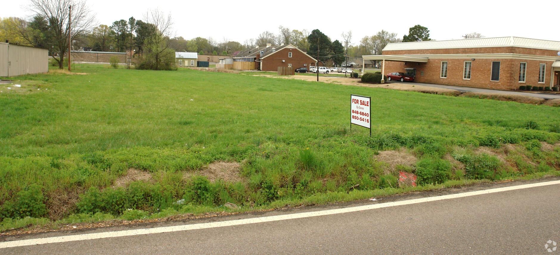
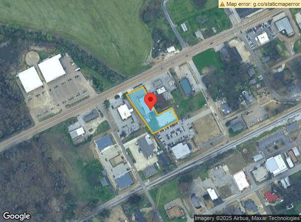
Property Record
11925 Highway 70, Arlington, TN 38002
NEARBY LISTINGS FOR SALE OR LEASE
Property Detail
11925 Highway 70
Memphis, TN-MS-AR
Douglas Commercial
A0-142-0-0340
SS HWY 70 132.09 FT E OF GREENLEE ST
Gymhealthspa
Shelby
X
Tennessee
47157C0220G
3
2023
0.97 AC
2024
Northeast
020902
Memphis
8,060 SF
DEMOGRAPHICS near 11925 Highway 70
1 Mile
3 Mile
5 Mile
2024 Total Population
2,924
14,361
21,451
2029 Population
2,875
14,125
21,395
Pop Growth 2024-2029
(1.68%)
(1.64%)
(0.26%)
Average Age
34
35
37
2024 Total Households
892
4,518
6,907
HH Growth 2024-2029
(1.79%)
(1.77%)
(0.23%)
Median Household Inc
$118,338
$106,823
$111,036
Avg Household Size
3.20
3.10
3.10
2024 Avg HH Vehicles
2.00
2.00
2.00
Median Home Value
$349,455
$321,564
$343,545
Median Year Built
2007
2004
2004
Nearby Places
- Restaurants
- Banks
- Shops
- Fitness
- Groceries
PUBLIC TRANSPORTATION
AIRPORT
Memphis International
DRIVE
WALK
Distance
Memphis International
43 min
31.6 mi
Freight Ports
Port of Shreveport
DRIVE
WALK
Distance
Port of Shreveport
435 min
398.8 mi
Nearby Properties
Address
Land Use
TOTAL SIZE
Lot Size
Zoning
Address
Land Use
TOTAL SIZE
Lot Size
Zoning
2,008,800 SF
146.24 AC
Address
Land Use
TOTAL SIZE
Lot Size
Zoning
93,928 SF
3.85 AC
M-1
Address
Land Use
TOTAL SIZE
Lot Size
Zoning
51,237 SF
12.46 AC
RS-13
Address
Land Use
TOTAL SIZE
Lot Size
Zoning
58,203 SF
3.49 AC
O
Address
Land Use
TOTAL SIZE
Lot Size
Zoning
159,960 SF
54.99 AC
M-1
Address
Land Use
TOTAL SIZE
Lot Size
Zoning
53,670 SF
6.68 AC
M-1
Address
Land Use
TOTAL SIZE
Lot Size
Zoning
35,909 SF
1.06 AC
M-1
Address
Land Use
TOTAL SIZE
Lot Size
Zoning
29,762 SF
2.62 AC
S-C
Address
Land Use
TOTAL SIZE
Lot Size
Zoning
50,600 SF
1.91 AC
M-1
Address
Land Use
TOTAL SIZE
Lot Size
Zoning
26,125 SF
6.20 AC
M-1
Address
Land Use
TOTAL SIZE
Lot Size
Zoning
296,005 SF
23.11 AC
M-1
Address
Land Use
TOTAL SIZE
Lot Size
Zoning
95,550 SF
6.14 AC
M-1
Address
Land Use
TOTAL SIZE
Lot Size
Zoning
270,500 SF
19.72 AC
I
Address
Land Use
TOTAL SIZE
Lot Size
Zoning
47,140 SF
4.36 AC
M-1
Address
Land Use
TOTAL SIZE
Lot Size
Zoning
54,568 SF
13.93 AC
Address
Land Use
TOTAL SIZE
Lot Size
Zoning
5.87 AC
M-1
Address
Land Use
TOTAL SIZE
Lot Size
Zoning
2,094 SF
25.33 AC
RS-15
Address
Land Use
TOTAL SIZE
Lot Size
Zoning
85,875 SF
4.96 AC
S-C
Address
Land Use
TOTAL SIZE
Lot Size
Zoning
61,344 SF
5 AC
O
Address
Land Use
TOTAL SIZE
Lot Size
Zoning
51,738 SF
6.05 AC
B-E
Address
Land Use
TOTAL SIZE
Lot Size
Zoning
15.78 AC
M-1
Address
Land Use
TOTAL SIZE
Lot Size
Zoning
23,952 SF
3.61 AC
S-C
Address
Land Use
TOTAL SIZE
Lot Size
Zoning
15.87 AC
S-C
Address
Land Use
TOTAL SIZE
Lot Size
Zoning
8,219 SF
2.06 AC
S-C
Address
Land Use
TOTAL SIZE
Lot Size
Zoning
16,800 SF
1.96 AC
S-C
Address
Land Use
TOTAL SIZE
Lot Size
Zoning
15,626 SF
1.35 AC
S-C
Address
Land Use
TOTAL SIZE
Lot Size
Zoning
16,357 SF
1.48 AC
B-E
Address
Land Use
TOTAL SIZE
Lot Size
Zoning
6,985 SF
2.84 AC
RS-13
Address
Land Use
TOTAL SIZE
Lot Size
Zoning
99,805 SF
4.42 AC
M-1
Address
Land Use
TOTAL SIZE
Lot Size
Zoning
65.68 AC
M-1
The World's #1 Commercial Real Estate Marketplace
Connect with us
© 2025 CoStar Group
The information above has been obtained from sources believed reliable. While we do not doubt its accuracy we have not verified it and make no guarantee, warranty or representation about it. It is your responsibility to independently confirm its accuracy and completeness. Any projections, opinions, assumptions, or estimates used are for example only and do not represent the current or future performance of the property. The value of this transaction to you depends on tax and other factors which should be evaluated by your tax, financial, and legal advisors. You and your advisors should conduct a careful, independent investigation of the property to determine to your satisfaction the suitability of the property for your needs.