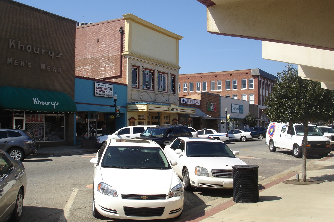
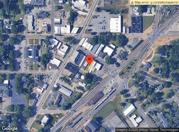
Property Record
120 E Main St, Fort Valley, GA 31030
NEARBY LISTINGS FOR SALE OR LEASE
Property Detail
120 E Main St
F05D-099
Fv Commercial 220
Storebuilding
MAIN ST PAR-SAN
X
Peach
13193C0100E
Georgia
2024
0.08 AC
2024
Perry/Warner Robins
040200
Other Market Areas
5,184 SF
Warner Robins, GA
DEMOGRAPHICS near 120 E Main St
1 Mile
3 Mile
5 Mile
2024 Total Population
6,369
12,505
14,723
2029 Population
6,760
13,228
15,512
Pop Growth 2024-2029
+ 6.14%
+ 5.78%
+ 5.36%
Average Age
38
37
38
2024 Total Households
2,532
4,515
5,330
HH Growth 2024-2029
+ 6.24%
+ 6.00%
+ 5.53%
Median Household Inc
$29,171
$41,778
$44,328
Avg Household Size
2.40
2.40
2.50
2024 Avg HH Vehicles
1.00
2.00
2.00
Median Home Value
$86,425
$116,578
$124,676
Median Year Built
1972
1973
1975
Nearby Places
- Restaurants
- Banks
- Shops
- Fitness
- Groceries
SALE & LEASE HISTORY
LISTING DATE
SALE/LEASE

Sep 24, 2016
For Sale
Nearby Properties
Address
Land Use
TOTAL SIZE
Lot Size
Zoning
Address
Land Use
TOTAL SIZE
Lot Size
Zoning
87,648 SF
571.67 AC
MULTI
Address
Land Use
TOTAL SIZE
Lot Size
Zoning
807,629 SF
82.01 AC
I
Address
Land Use
TOTAL SIZE
Lot Size
Zoning
188,166 SF
13.87 AC
R-1
Address
Land Use
TOTAL SIZE
Lot Size
Zoning
45,430 SF
91.16 AC
R-1
Address
Land Use
TOTAL SIZE
Lot Size
Zoning
95,554 SF
55.59 AC
MULTI
Address
Land Use
TOTAL SIZE
Lot Size
Zoning
92,016 SF
10.26 AC
R-2
Address
Land Use
TOTAL SIZE
Lot Size
Zoning
32,904 SF
2.35 AC
I-N
Address
Land Use
TOTAL SIZE
Lot Size
Zoning
27,615 SF
43.78 AC
R-2
Address
Land Use
TOTAL SIZE
Lot Size
Zoning
10,226 SF
15 AC
R-2
Address
Land Use
TOTAL SIZE
Lot Size
Zoning
82,500 SF
15.02 AC
M-1
Address
Land Use
TOTAL SIZE
Lot Size
Zoning
39,688 SF
R-CD
Address
Land Use
TOTAL SIZE
Lot Size
Zoning
8,060 SF
9.16 AC
R-2
Address
Land Use
TOTAL SIZE
Lot Size
Zoning
114,270 SF
5.32 AC
M-1
Address
Land Use
TOTAL SIZE
Lot Size
Zoning
228,767 SF
12.04 AC
I-FV
Address
Land Use
TOTAL SIZE
Lot Size
Zoning
23,820 SF
8.71 AC
R-2
Address
Land Use
TOTAL SIZE
Lot Size
Zoning
77,447 SF
7.60 AC
C-2
Address
Land Use
TOTAL SIZE
Lot Size
Zoning
100,000 SF
11.81 AC
M-1
Address
Land Use
TOTAL SIZE
Lot Size
Zoning
35,622 SF
2.61 AC
C-3
Address
Land Use
TOTAL SIZE
Lot Size
Zoning
40,167 SF
3.26 AC
C-2
Address
Land Use
TOTAL SIZE
Lot Size
Zoning
11,106 SF
10.96 AC
R-2
Address
Land Use
TOTAL SIZE
Lot Size
Zoning
20,600 SF
2.62 AC
C-3
Address
Land Use
TOTAL SIZE
Lot Size
Zoning
45,430 SF
20 AC
R-1
Address
Land Use
TOTAL SIZE
Lot Size
Zoning
57,976 SF
I, FV
Address
Land Use
TOTAL SIZE
Lot Size
Zoning
2,429 SF
7.32 AC
R-2
Address
Land Use
TOTAL SIZE
Lot Size
Zoning
4,520 SF
9.86 AC
R-2
Address
Land Use
TOTAL SIZE
Lot Size
Zoning
4,944 SF
5 AC
R-2
Address
Land Use
TOTAL SIZE
Lot Size
Zoning
18,757 SF
10 AC
M-1
Address
Land Use
TOTAL SIZE
Lot Size
Zoning
33,555 SF
3.60 AC
R-2
Address
Land Use
TOTAL SIZE
Lot Size
Zoning
21,150 SF
7.01 AC
MULTI
Address
Land Use
TOTAL SIZE
Lot Size
Zoning
11,576 SF
10.01 AC
R-2
The World's #1 Commercial Real Estate Marketplace
Connect with us
© 2025 CoStar Group
The information above has been obtained from sources believed reliable. While we do not doubt its accuracy we have not verified it and make no guarantee, warranty or representation about it. It is your responsibility to independently confirm its accuracy and completeness. Any projections, opinions, assumptions, or estimates used are for example only and do not represent the current or future performance of the property. The value of this transaction to you depends on tax and other factors which should be evaluated by your tax, financial, and legal advisors. You and your advisors should conduct a careful, independent investigation of the property to determine to your satisfaction the suitability of the property for your needs.