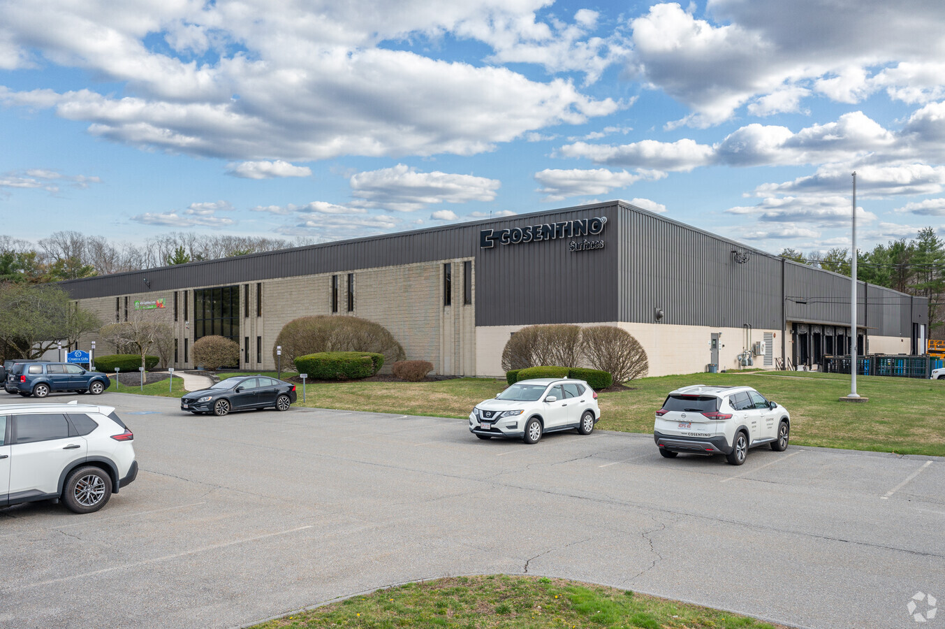
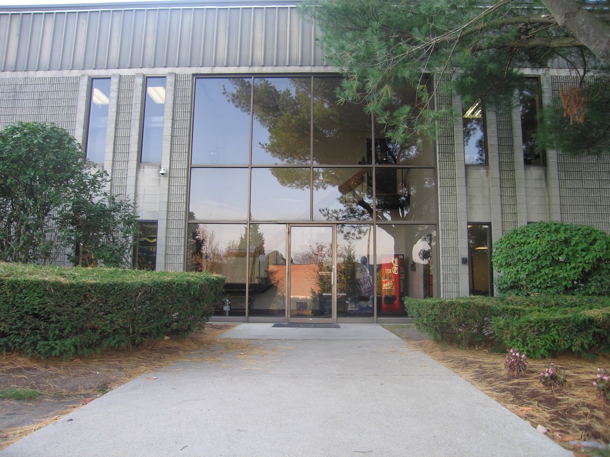
Property Record
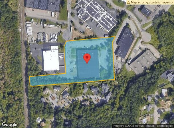
120 Shawmut Rd, Canton, MA 02021
Current Lease Availabilities
NEARBY LISTINGS FOR SALE OR LEASE
Property Detail
120 Shawmut Rd
Warehouse
Norfolk
ARE
Massachusetts
25021C0192E
5.74 AC
2024
Route 1 South
2024
Boston
415101
Boston-Cambridge-Newton, MA-NH
58,800 SF
CANT-000019-000000-000002
DEMOGRAPHICS near 120 Shawmut Rd
1 Mile
3 Mile
5 Mile
2024 Total Population
2,301
46,566
153,029
2029 Population
2,293
46,188
151,368
Pop Growth 2024-2029
(0.35%)
(0.81%)
(1.09%)
Average Age
42
43
42
2024 Total Households
802
18,553
58,271
HH Growth 2024-2029
(0.25%)
(0.91%)
(1.17%)
Median Household Inc
$172,689
$113,663
$114,427
Avg Household Size
2.80
2.40
2.50
2024 Avg HH Vehicles
2.00
2.00
2.00
Median Home Value
$757,455
$644,056
$624,873
Median Year Built
1964
1966
1963
Nearby Places
- Restaurants
- Banks
- Shops
- Fitness
- Groceries
PUBLIC TRANSPORTATION
COMMUTER RAIL
Canton Junction (Providence/Stoughton Line - Massachusetts Bay Transportation Authority Commuter Rail (Purple Line))
DRIVE
WALK
Distance
Canton Junction (Providence/Stoughton Line - Massachusetts Bay Transportation Authority Commuter Rail (Purple Line))
8 min
2.9 mi
Canton Center (Providence/Stoughton Line - Massachusetts Bay Transportation Authority Commuter Rail (Purple Line))
DRIVE
WALK
Distance
Canton Center (Providence/Stoughton Line - Massachusetts Bay Transportation Authority Commuter Rail (Purple Line))
7 min
3.0 mi
AIRPORT
General Edward Lawrence Logan International
DRIVE
WALK
Distance
General Edward Lawrence Logan International
37 min
19.1 mi
Freight Ports
Port of Boston
DRIVE
WALK
Distance
Port of Boston
33 min
16.8 mi
Nearby Properties
Address
Land Use
TOTAL SIZE
Lot Size
Zoning
Address
Land Use
TOTAL SIZE
Lot Size
Zoning
13,272 SF
46.36 AC
I
Address
Land Use
TOTAL SIZE
Lot Size
Zoning
154,871 SF
34.30 AC
SRAA
Address
Land Use
TOTAL SIZE
Lot Size
Zoning
18,451 SF
19.07 AC
Address
Land Use
TOTAL SIZE
Lot Size
Zoning
267,103 SF
20.23 AC
SRAA
Address
Land Use
TOTAL SIZE
Lot Size
Zoning
226,304 SF
2.88 AC
Address
Land Use
TOTAL SIZE
Lot Size
Zoning
351,699 SF
27.36 AC
Address
Land Use
TOTAL SIZE
Lot Size
Zoning
5,349 SF
8.74 AC
Address
Land Use
TOTAL SIZE
Lot Size
Zoning
140,489 SF
36.47 AC
SRB
Address
Land Use
TOTAL SIZE
Lot Size
Zoning
198,120 SF
51 AC
GR
Address
Land Use
TOTAL SIZE
Lot Size
Zoning
254,787 SF
55.40 AC
Address
Land Use
TOTAL SIZE
Lot Size
Zoning
543,189 SF
22.90 AC
LI
Address
Land Use
TOTAL SIZE
Lot Size
Zoning
180,022 SF
3.74 AC
Address
Land Use
TOTAL SIZE
Lot Size
Zoning
1,728 SF
40.20 AC
LI
Address
Land Use
TOTAL SIZE
Lot Size
Zoning
81,796 SF
11.87 AC
Address
Land Use
TOTAL SIZE
Lot Size
Zoning
185,592 SF
37.21 AC
Address
Land Use
TOTAL SIZE
Lot Size
Zoning
38,616 SF
160 AC
PROSD
Address
Land Use
TOTAL SIZE
Lot Size
Zoning
195,690 SF
14.98 AC
NV
Address
Land Use
TOTAL SIZE
Lot Size
Zoning
17,052 SF
33.53 AC
PROSD
Address
Land Use
TOTAL SIZE
Lot Size
Zoning
64,689 SF
24.60 AC
I
Address
Land Use
TOTAL SIZE
Lot Size
Zoning
81,009 SF
22.16 AC
Address
Land Use
TOTAL SIZE
Lot Size
Zoning
62,043 SF
10.68 AC
LI
Address
Land Use
TOTAL SIZE
Lot Size
Zoning
170,482 SF
18.60 AC
Address
Land Use
TOTAL SIZE
Lot Size
Zoning
263,007 SF
8.11 AC
Address
Land Use
TOTAL SIZE
Lot Size
Zoning
205.75 AC
Address
Land Use
TOTAL SIZE
Lot Size
Zoning
329,800 SF
18.49 AC
Address
Land Use
TOTAL SIZE
Lot Size
Zoning
130,356 SF
14.70 AC
SRA
Address
Land Use
TOTAL SIZE
Lot Size
Zoning
361,239 SF
37.28 AC
Address
Land Use
TOTAL SIZE
Lot Size
Zoning
198,804 SF
9.76 AC
LI
Address
Land Use
TOTAL SIZE
Lot Size
Zoning
127,278 SF
7.89 AC
Address
Land Use
TOTAL SIZE
Lot Size
Zoning
33,778 SF
18.86 AC
The World's #1 Commercial Real Estate Marketplace
Connect with us
© 2025 CoStar Group
The information above has been obtained from sources believed reliable. While we do not doubt its accuracy we have not verified it and make no guarantee, warranty or representation about it. It is your responsibility to independently confirm its accuracy and completeness. Any projections, opinions, assumptions, or estimates used are for example only and do not represent the current or future performance of the property. The value of this transaction to you depends on tax and other factors which should be evaluated by your tax, financial, and legal advisors. You and your advisors should conduct a careful, independent investigation of the property to determine to your satisfaction the suitability of the property for your needs.