Property Record
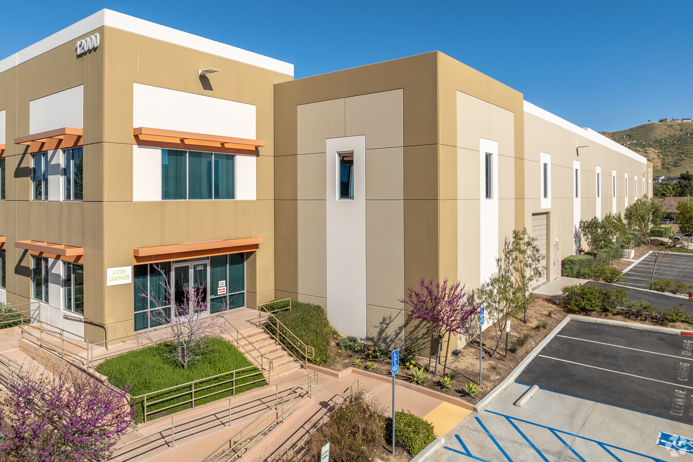
12000 Magnolia Ave, Riverside, CA 92503


NEARBY LISTINGS FOR SALE OR LEASE
Property Detail
12000 Magnolia Ave
135-220-041
Parcel Map 34605
Lightindustrial
6.10 ACRES M/L IN PAR 5 PM 244/061 PM 34605
X
Riverside
06065C0715G
California
2023
6.10 AC
2023
Riverside
041405
Inland Empire (California)
129,911 SF
Riverside-San Bernardino-Ontario, CA
DEMOGRAPHICS near 12000 Magnolia Ave
1 Mile
3 Mile
5 Mile
2024 Total Population
19,368
109,028
246,517
2029 Population
20,334
114,427
258,931
Pop Growth 2024-2029
+ 4.99%
+ 4.95%
+ 5.04%
Average Age
37
36
36
2024 Total Households
6,154
31,656
70,296
HH Growth 2024-2029
+ 4.53%
+ 4.50%
+ 4.58%
Median Household Inc
$76,023
$83,208
$82,833
Avg Household Size
3.00
3.30
3.30
2024 Avg HH Vehicles
2.00
2.00
2.00
Median Home Value
$470,370
$516,293
$499,617
Median Year Built
1986
1985
1981
Nearby Places
- Restaurants
- Banks
- Shops
- Fitness
- Groceries
PUBLIC TRANSPORTATION
COMMUTER RAIL
Riverside-La Sierra (91 Line - Southern California Regional Rail Authority (Metrolink), Inland Empire-Orange County Line - Southern California Regional Rail Authority (Metrolink))
DRIVE
WALK
Distance
Riverside-La Sierra (91 Line - Southern California Regional Rail Authority (Metrolink), Inland Empire-Orange County Line - Southern California Regional Rail Authority (Metrolink))
4 min
1.9 mi
North Main Corona (91 Line - Southern California Regional Rail Authority (Metrolink), Inland Empire-Orange County Line - Southern California Regional Rail Authority (Metrolink))
DRIVE
WALK
Distance
North Main Corona (91 Line - Southern California Regional Rail Authority (Metrolink), Inland Empire-Orange County Line - Southern California Regional Rail Authority (Metrolink))
8 min
5.4 mi
AIRPORT
Ontario International
DRIVE
WALK
Distance
Ontario International
27 min
19.4 mi
John Wayne/Orange County
DRIVE
WALK
Distance
John Wayne/Orange County
41 min
33.1 mi
Freight Ports
Port of Long Beach
DRIVE
WALK
Distance
Port of Long Beach
61 min
47.1 mi
SALE & LEASE HISTORY
LISTING DATE
SALE/LEASE

Sep 21, 2022
For Lease
Nov 12, 2019
For Sale
Jul 20, 2023
For Lease
Jul 18, 2022
For Lease
Jul 14, 2017
For Lease
Jul 14, 2017
For Sale
Nearby Properties
Address
Land Use
TOTAL SIZE
Lot Size
Zoning
Address
Land Use
TOTAL SIZE
Lot Size
Zoning
1,370,755 SF
37.05 AC
Address
Land Use
TOTAL SIZE
Lot Size
Zoning
263,807 SF
13.14 AC
Address
Land Use
TOTAL SIZE
Lot Size
Zoning
167,068 SF
26.55 AC
Address
Land Use
TOTAL SIZE
Lot Size
Zoning
32,924 SF
24.04 AC
Address
Land Use
TOTAL SIZE
Lot Size
Zoning
76,546 SF
13.53 AC
R
Address
Land Use
TOTAL SIZE
Lot Size
Zoning
71,440 SF
14.37 AC
Address
Land Use
TOTAL SIZE
Lot Size
Zoning
335,820 SF
15.18 AC
Address
Land Use
TOTAL SIZE
Lot Size
Zoning
152,369 SF
5.38 AC
Address
Land Use
TOTAL SIZE
Lot Size
Zoning
20.08 AC
R020
Address
Land Use
TOTAL SIZE
Lot Size
Zoning
27,916 SF
8.50 AC
R3
Address
Land Use
TOTAL SIZE
Lot Size
Zoning
205,235 SF
10.30 AC
Address
Land Use
TOTAL SIZE
Lot Size
Zoning
152,756 SF
7.07 AC
Address
Land Use
TOTAL SIZE
Lot Size
Zoning
46,694 SF
7.16 AC
Address
Land Use
TOTAL SIZE
Lot Size
Zoning
14 AC
R1
Address
Land Use
TOTAL SIZE
Lot Size
Zoning
359,304 SF
8.86 AC
R3
Address
Land Use
TOTAL SIZE
Lot Size
Zoning
25,808 SF
6.21 AC
Address
Land Use
TOTAL SIZE
Lot Size
Zoning
150,404 SF
8.02 AC
Address
Land Use
TOTAL SIZE
Lot Size
Zoning
116,787 SF
2.37 AC
Address
Land Use
TOTAL SIZE
Lot Size
Zoning
115,545 SF
5.97 AC
Address
Land Use
TOTAL SIZE
Lot Size
Zoning
175,785 SF
6.29 AC
Address
Land Use
TOTAL SIZE
Lot Size
Zoning
196,470 SF
11.43 AC
M1
Address
Land Use
TOTAL SIZE
Lot Size
Zoning
7.56 AC
R3
Address
Land Use
TOTAL SIZE
Lot Size
Zoning
88,402 SF
2.03 AC
Address
Land Use
TOTAL SIZE
Lot Size
Zoning
96,543 SF
3.34 AC
Address
Land Use
TOTAL SIZE
Lot Size
Zoning
100,000 SF
4.76 AC
CR
Address
Land Use
TOTAL SIZE
Lot Size
Zoning
100,000 SF
4.49 AC
CR
Address
Land Use
TOTAL SIZE
Lot Size
Zoning
156,599 SF
6.27 AC
Address
Land Use
TOTAL SIZE
Lot Size
Zoning
163,056 SF
8.43 AC
The World's #1 Commercial Real Estate Marketplace
Connect with us
© 2025 CoStar Group
The information above has been obtained from sources believed reliable. While we do not doubt its accuracy we have not verified it and make no guarantee, warranty or representation about it. It is your responsibility to independently confirm its accuracy and completeness. Any projections, opinions, assumptions, or estimates used are for example only and do not represent the current or future performance of the property. The value of this transaction to you depends on tax and other factors which should be evaluated by your tax, financial, and legal advisors. You and your advisors should conduct a careful, independent investigation of the property to determine to your satisfaction the suitability of the property for your needs.