Property Record
1201 S Pine Hill Rd, Griffin, GA 30224

NEARBY LISTINGS FOR SALE OR LEASE
Property Detail
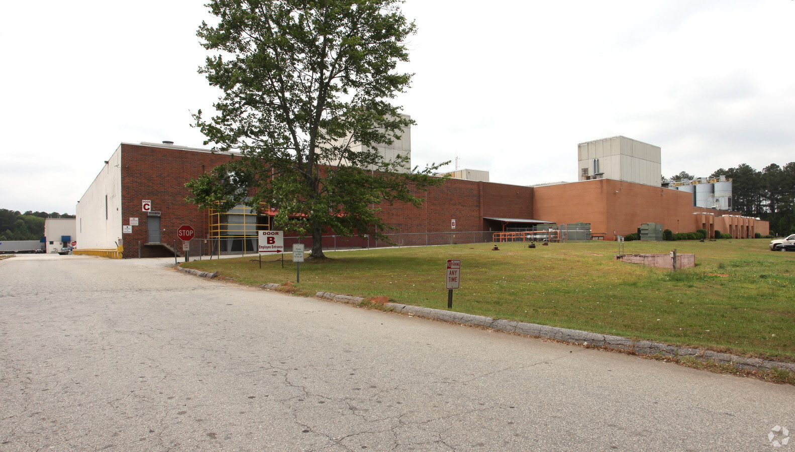
1201 S Pine Hill Rd
235-04-021
PT TR A 3.4037 PB 2/243, 8/359
Officebuilding
Spalding
X
Georgia
13255C0185D
a
2024
86.60 AC
2024
S Clayton/Henry Cnty
161202
Atlanta
5,640 SF
Atlanta-Sandy Springs-Roswell, GA
DEMOGRAPHICS near 1201 S Pine Hill Rd
1 Mile
3 Mile
5 Mile
2024 Total Population
2,435
18,678
46,129
2029 Population
2,559
19,813
49,257
Pop Growth 2024-2029
+ 5.09%
+ 6.08%
+ 6.78%
Average Age
34
38
38
2024 Total Households
925
6,966
17,318
HH Growth 2024-2029
+ 4.97%
+ 5.97%
+ 6.64%
Median Household Inc
$52,629
$53,804
$50,238
Avg Household Size
2.50
2.50
2.60
2024 Avg HH Vehicles
2.00
2.00
2.00
Median Home Value
$137,168
$183,549
$178,152
Median Year Built
1989
1984
1978
Nearby Places
- Restaurants
- Banks
- Shops
- Fitness
- Groceries
PUBLIC TRANSPORTATION
AIRPORT
Hartsfield - Jackson Atlanta International
DRIVE
WALK
Distance
Hartsfield - Jackson Atlanta International
53 min
33.6 mi
Freight Ports
Georgia Ports - Savannah
DRIVE
WALK
Distance
Georgia Ports - Savannah
253 min
221.1 mi
Nearby Properties
Address
Land Use
TOTAL SIZE
Lot Size
Zoning
Address
Land Use
TOTAL SIZE
Lot Size
Zoning
210,196 SF
14.92 AC
PCD
Address
Land Use
TOTAL SIZE
Lot Size
Zoning
112,554 SF
40.27 AC
C2
Address
Land Use
TOTAL SIZE
Lot Size
Zoning
31,296 SF
30.36 AC
OI
Address
Land Use
TOTAL SIZE
Lot Size
Zoning
56,415 SF
0.56 AC
PCD
Address
Land Use
TOTAL SIZE
Lot Size
Zoning
89.45 AC
INST
Address
Land Use
TOTAL SIZE
Lot Size
Zoning
99,469 SF
12.51 AC
AR-1
Address
Land Use
TOTAL SIZE
Lot Size
Zoning
2,374 SF
38.28 AC
HDRB
Address
Land Use
TOTAL SIZE
Lot Size
Zoning
96,787 SF
14.07 AC
LDRB
Address
Land Use
TOTAL SIZE
Lot Size
Zoning
31,328 SF
58.43 AC
PID
Address
Land Use
TOTAL SIZE
Lot Size
Zoning
31,328 SF
58.43 AC
PID
Address
Land Use
TOTAL SIZE
Lot Size
Zoning
16 AC
PCD
Address
Land Use
TOTAL SIZE
Lot Size
Zoning
118,410 SF
15.42 AC
LDRB
Address
Land Use
TOTAL SIZE
Lot Size
Zoning
74,910 SF
25 AC
AR-1
Address
Land Use
TOTAL SIZE
Lot Size
Zoning
57,929 SF
11.90 AC
Address
Land Use
TOTAL SIZE
Lot Size
Zoning
43,440 SF
23.20 AC
AR-1
Address
Land Use
TOTAL SIZE
Lot Size
Zoning
3,069 SF
15 AC
HDR-B
Address
Land Use
TOTAL SIZE
Lot Size
Zoning
41,194 SF
25.19 AC
C-1
Address
Land Use
TOTAL SIZE
Lot Size
Zoning
14,680 SF
1.89 AC
PCD
Address
Land Use
TOTAL SIZE
Lot Size
Zoning
102,102 SF
10.84 AC
PCD
Address
Land Use
TOTAL SIZE
Lot Size
Zoning
3,716 SF
12.03 AC
PRD
Address
Land Use
TOTAL SIZE
Lot Size
Zoning
44,749 SF
4.53 AC
INST
Address
Land Use
TOTAL SIZE
Lot Size
Zoning
21,352 SF
0.74 AC
PCD
Address
Land Use
TOTAL SIZE
Lot Size
Zoning
56,516 SF
28.30 AC
C1
Address
Land Use
TOTAL SIZE
Lot Size
Zoning
39,777 SF
10.23 AC
INST
Address
Land Use
TOTAL SIZE
Lot Size
Zoning
65,702 SF
7.19 AC
PCD
Address
Land Use
TOTAL SIZE
Lot Size
Zoning
111,214 SF
6.01 AC
PCD
Address
Land Use
TOTAL SIZE
Lot Size
Zoning
16,519 SF
6.02 AC
Address
Land Use
TOTAL SIZE
Lot Size
Zoning
3,748 SF
0.35 AC
PCD
Address
Land Use
TOTAL SIZE
Lot Size
Zoning
99,088 SF
25.64 AC
PID
The World's #1 Commercial Real Estate Marketplace
Connect with us
© 2025 CoStar Group
The information above has been obtained from sources believed reliable. While we do not doubt its accuracy we have not verified it and make no guarantee, warranty or representation about it. It is your responsibility to independently confirm its accuracy and completeness. Any projections, opinions, assumptions, or estimates used are for example only and do not represent the current or future performance of the property. The value of this transaction to you depends on tax and other factors which should be evaluated by your tax, financial, and legal advisors. You and your advisors should conduct a careful, independent investigation of the property to determine to your satisfaction the suitability of the property for your needs.