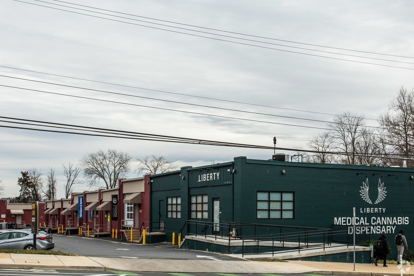
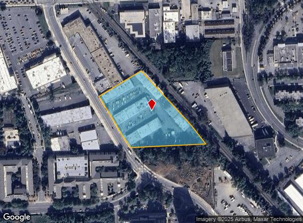
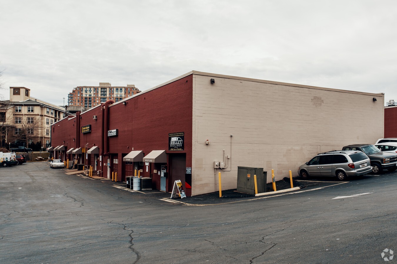
Property Record
12001 Nebel St, Rockville, MD 20852
NEARBY LISTINGS FOR SALE OR LEASE
Property Detail
12001 Nebel St
Washington-Arlington-Alexandria, DC-VA-MD-WV
Codm Spring Park Rockville Par Ind
04-00052925
PAR D NEBEL KNOLLMAN PROP
Warehouse
Montgomery
X
Maryland
24031C0361D
d
2024
3.90 AC
2024
N Bethesda/Potomac
701216
Washington, DC
97,920 SF
DEMOGRAPHICS near 12001 Nebel St
1 Mile
3 Mile
5 Mile
2024 Total Population
22,486
164,321
376,315
2029 Population
22,436
162,574
372,596
Pop Growth 2024-2029
(0.22%)
(1.06%)
(0.99%)
Average Age
41
40
42
2024 Total Households
10,797
60,803
140,885
HH Growth 2024-2029
(0.45%)
(1.13%)
(0.98%)
Median Household Inc
$104,676
$113,960
$119,991
Avg Household Size
2.00
2.60
2.60
2024 Avg HH Vehicles
1.00
2.00
2.00
Median Home Value
$537,539
$511,133
$625,131
Median Year Built
1991
1967
1971
Nearby Places
- Restaurants
- Banks
- Shops
- Fitness
- Groceries
PUBLIC TRANSPORTATION
TRANSIT/SUBWAY
White Flint (Red Line - Washington Metropolitan Area Transit Authority Metrorail (Metrorail))
DRIVE
WALK
Distance
White Flint (Red Line - Washington Metropolitan Area Transit Authority Metrorail (Metrorail))
2 min
9 min
0.5 mi
COMMUTER RAIL
Garrett Park (Brunswick Line - Maryland Area Regional Commuter Trains (The MARC))
DRIVE
WALK
Distance
Garrett Park (Brunswick Line - Maryland Area Regional Commuter Trains (The MARC))
6 min
2.5 mi
Kensington (Brunswick Line - Maryland Area Regional Commuter Trains (The MARC))
DRIVE
WALK
Distance
Kensington (Brunswick Line - Maryland Area Regional Commuter Trains (The MARC))
8 min
4.2 mi
AIRPORT
Ronald Reagan Washington Ntl
DRIVE
WALK
Distance
Ronald Reagan Washington Ntl
33 min
16.9 mi
Washington Dulles International
DRIVE
WALK
Distance
Washington Dulles International
43 min
25.7 mi
Baltimore/Washington International Thurgood Marshall
DRIVE
WALK
Distance
Baltimore/Washington International Thurgood Marshall
46 min
33.7 mi
Freight Ports
Port of Baltimore
DRIVE
WALK
Distance
Port of Baltimore
51 min
36.6 mi
SALE & LEASE HISTORY
LISTING DATE
SALE/LEASE

Sep 24, 2016
For Lease
Mar 26, 2024
For Lease
Nearby Properties
Address
Land Use
TOTAL SIZE
Lot Size
Zoning
Address
Land Use
TOTAL SIZE
Lot Size
Zoning
769,580 SF
21.77 AC
GR1.5
Address
Land Use
TOTAL SIZE
Lot Size
Zoning
1,332,482 SF
3.79 AC
CR2.0
Address
Land Use
TOTAL SIZE
Lot Size
Zoning
1,119,608 SF
90.30 AC
R90
Address
Land Use
TOTAL SIZE
Lot Size
Zoning
178,124 SF
11 AC
R60
Address
Land Use
TOTAL SIZE
Lot Size
Zoning
432,000 SF
1.77 AC
CR4.0
Address
Land Use
TOTAL SIZE
Lot Size
Zoning
515,000 SF
5.23 AC
CR1.5
Address
Land Use
TOTAL SIZE
Lot Size
Zoning
379,100 SF
11.80 AC
CR4.0
Address
Land Use
TOTAL SIZE
Lot Size
Zoning
626,132 SF
7.28 AC
CR0.5
Address
Land Use
TOTAL SIZE
Lot Size
Zoning
380,452 SF
2.38 AC
CR3.0
Address
Land Use
TOTAL SIZE
Lot Size
Zoning
393,977 SF
17.88 AC
MXCD
Address
Land Use
TOTAL SIZE
Lot Size
Zoning
431,630 SF
25.77 AC
R60
Address
Land Use
TOTAL SIZE
Lot Size
Zoning
412,122 SF
10.44 AC
CR1.5
Address
Land Use
TOTAL SIZE
Lot Size
Zoning
815,414 SF
3.27 AC
CR4.0
Address
Land Use
TOTAL SIZE
Lot Size
Zoning
414,000 SF
7.28 AC
MXCD
Address
Land Use
TOTAL SIZE
Lot Size
Zoning
674,400 SF
3.21 AC
CR3.0
Address
Land Use
TOTAL SIZE
Lot Size
Zoning
223,520 SF
2.77 AC
CR2.0
Address
Land Use
TOTAL SIZE
Lot Size
Zoning
559,515 SF
26.51 AC
EOF12
Address
Land Use
TOTAL SIZE
Lot Size
Zoning
291,194 SF
0.72 AC
CR4.0
Address
Land Use
TOTAL SIZE
Lot Size
Zoning
454,275 SF
1.12 AC
CR7.2
Address
Land Use
TOTAL SIZE
Lot Size
Zoning
465,983 SF
1.38 AC
CR3.0
Address
Land Use
TOTAL SIZE
Lot Size
Zoning
80,359 SF
11.61 AC
CRT1.
Address
Land Use
TOTAL SIZE
Lot Size
Zoning
149,170 SF
13.13 AC
CRT0.
Address
Land Use
TOTAL SIZE
Lot Size
Zoning
330,650 SF
2.89 AC
MXTD
Address
Land Use
TOTAL SIZE
Lot Size
Zoning
429,137 SF
1.80 AC
CR4.0
Address
Land Use
TOTAL SIZE
Lot Size
Zoning
291,945 SF
10.49 AC
R10
Address
Land Use
TOTAL SIZE
Lot Size
Zoning
353,684 SF
2.48 AC
CR4.0
Address
Land Use
TOTAL SIZE
Lot Size
Zoning
1,433,751 SF
32 AC
CR1.5
Address
Land Use
TOTAL SIZE
Lot Size
Zoning
311,500 SF
29.05 AC
R60
Address
Land Use
TOTAL SIZE
Lot Size
Zoning
244,934 SF
3.59 AC
CRT2.
Address
Land Use
TOTAL SIZE
Lot Size
Zoning
152,330 SF
CR
The World's #1 Commercial Real Estate Marketplace
Connect with us
© 2025 CoStar Group
The information above has been obtained from sources believed reliable. While we do not doubt its accuracy we have not verified it and make no guarantee, warranty or representation about it. It is your responsibility to independently confirm its accuracy and completeness. Any projections, opinions, assumptions, or estimates used are for example only and do not represent the current or future performance of the property. The value of this transaction to you depends on tax and other factors which should be evaluated by your tax, financial, and legal advisors. You and your advisors should conduct a careful, independent investigation of the property to determine to your satisfaction the suitability of the property for your needs.