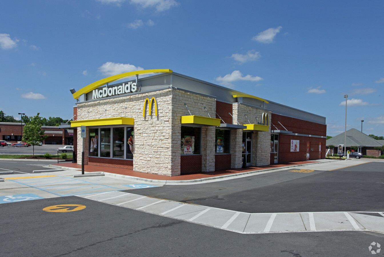
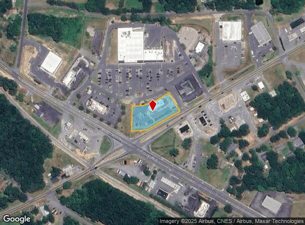
Property Record
121 N Highway 49, Richfield, NC 28137
NEARBY LISTINGS FOR SALE OR LEASE
Property Detail
121 N Highway 49
6622-01-29-7187
BLDG 121 NC 49 HWY N DBA MCDONALD'S 662201162
Commercialnec
Stanly
X
North Carolina
3710662200J
0.98 AC
2024
Stanly County
2024
Charlotte
930101
Albemarle, NC
3,964 SF
DEMOGRAPHICS near 121 N Highway 49
1 Mile
3 Mile
5 Mile
2024 Total Population
567
2,606
5,760
2029 Population
600
2,761
6,153
Pop Growth 2024-2029
+ 5.82%
+ 5.95%
+ 6.82%
Average Age
41
41
42
2024 Total Households
207
939
2,139
HH Growth 2024-2029
+ 6.28%
+ 6.18%
+ 6.73%
Median Household Inc
$69,310
$65,507
$66,286
Avg Household Size
2.40
2.40
2.50
2024 Avg HH Vehicles
3.00
3.00
2.00
Median Home Value
$199,999
$195,910
$202,615
Median Year Built
1971
1971
1974
Nearby Places
- Restaurants
- Banks
- Shops
- Fitness
- Groceries
PUBLIC TRANSPORTATION
AIRPORT
Concord-Padgett Regional
DRIVE
WALK
Distance
Concord-Padgett Regional
49 min
31.8 mi
Freight Ports
Port of Wilmington
DRIVE
WALK
Distance
Port of Wilmington
237 min
187.3 mi
Nearby Properties
Address
Land Use
TOTAL SIZE
Lot Size
Zoning
Address
Land Use
TOTAL SIZE
Lot Size
Zoning
50,039 SF
308.39 AC
MULTIPLE
Address
Land Use
TOTAL SIZE
Lot Size
Zoning
71,733 SF
18 AC
I-U
Address
Land Use
TOTAL SIZE
Lot Size
Zoning
124,910 SF
32.42 AC
M-1
Address
Land Use
TOTAL SIZE
Lot Size
Zoning
50,410 SF
7.03 AC
N-B
Address
Land Use
TOTAL SIZE
Lot Size
Zoning
7,253 SF
47.76 AC
M-2
Address
Land Use
TOTAL SIZE
Lot Size
Zoning
55,941 SF
12.15 AC
R-20
Address
Land Use
TOTAL SIZE
Lot Size
Zoning
227,504 SF
30 AC
M-1
Address
Land Use
TOTAL SIZE
Lot Size
Zoning
50,000 SF
24.25 AC
M-1
Address
Land Use
TOTAL SIZE
Lot Size
Zoning
94,113 SF
23.02 AC
M-1
Address
Land Use
TOTAL SIZE
Lot Size
Zoning
10,188 SF
13.94 AC
R-A
Address
Land Use
TOTAL SIZE
Lot Size
Zoning
15,224 SF
2.45 AC
N-B
Address
Land Use
TOTAL SIZE
Lot Size
Zoning
106,680 SF
28.04 AC
M-1
Address
Land Use
TOTAL SIZE
Lot Size
Zoning
17,375 SF
7.01 AC
Address
Land Use
TOTAL SIZE
Lot Size
Zoning
583.28 AC
MULTIPLE
Address
Land Use
TOTAL SIZE
Lot Size
Zoning
181,738 SF
50.77 AC
M-1
Address
Land Use
TOTAL SIZE
Lot Size
Zoning
10,260 SF
2.09 AC
N-B
Address
Land Use
TOTAL SIZE
Lot Size
Zoning
13,018 SF
12.51 AC
MULTIPLE
Address
Land Use
TOTAL SIZE
Lot Size
Zoning
5,177 SF
3.28 AC
N-B
Address
Land Use
TOTAL SIZE
Lot Size
Zoning
9,000 SF
6.42 AC
Address
Land Use
TOTAL SIZE
Lot Size
Zoning
73,590 SF
4.95 AC
M-1
Address
Land Use
TOTAL SIZE
Lot Size
Zoning
30,000 SF
3.37 AC
M-1
Address
Land Use
TOTAL SIZE
Lot Size
Zoning
3,612 SF
0.99 AC
N-B
Address
Land Use
TOTAL SIZE
Lot Size
Zoning
3,618 SF
1.28 AC
N-B
Address
Land Use
TOTAL SIZE
Lot Size
Zoning
10,669 SF
2.85 AC
N-B
Address
Land Use
TOTAL SIZE
Lot Size
Zoning
4,918 SF
1.78 AC
N-B
Address
Land Use
TOTAL SIZE
Lot Size
Zoning
31.21 AC
Address
Land Use
TOTAL SIZE
Lot Size
Zoning
2,544 SF
0.83 AC
H-B
Address
Land Use
TOTAL SIZE
Lot Size
Zoning
5,112 SF
1.72 AC
H-B
Address
Land Use
TOTAL SIZE
Lot Size
Zoning
9,200 SF
1.42 AC
N-B
The World's #1 Commercial Real Estate Marketplace
Connect with us
© 2025 CoStar Group
The information above has been obtained from sources believed reliable. While we do not doubt its accuracy we have not verified it and make no guarantee, warranty or representation about it. It is your responsibility to independently confirm its accuracy and completeness. Any projections, opinions, assumptions, or estimates used are for example only and do not represent the current or future performance of the property. The value of this transaction to you depends on tax and other factors which should be evaluated by your tax, financial, and legal advisors. You and your advisors should conduct a careful, independent investigation of the property to determine to your satisfaction the suitability of the property for your needs.