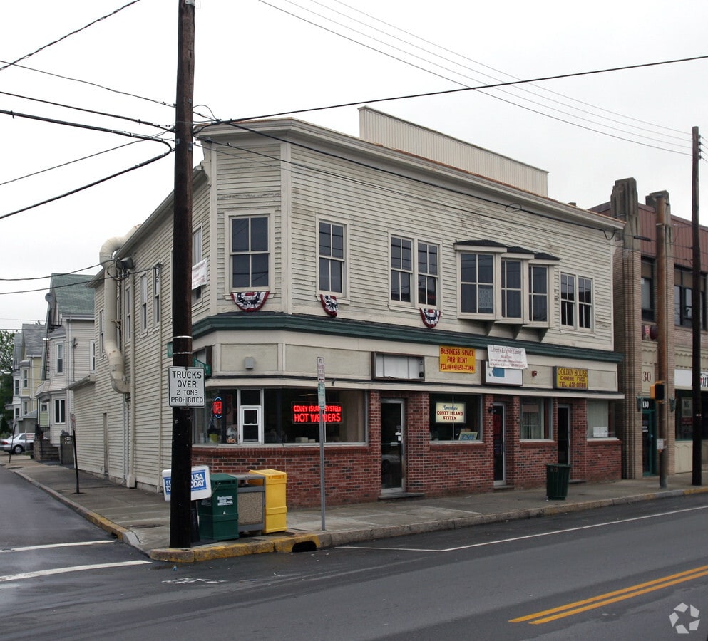
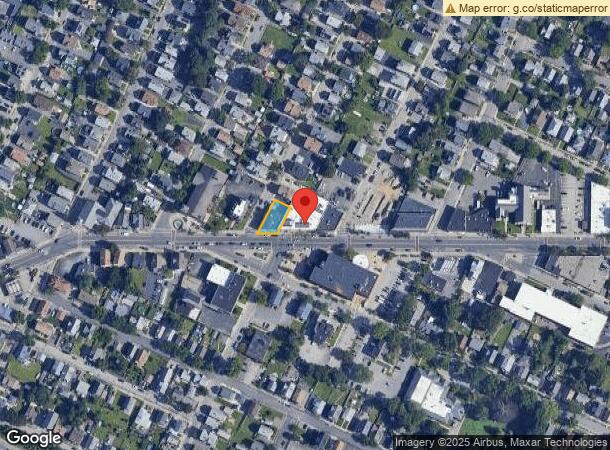
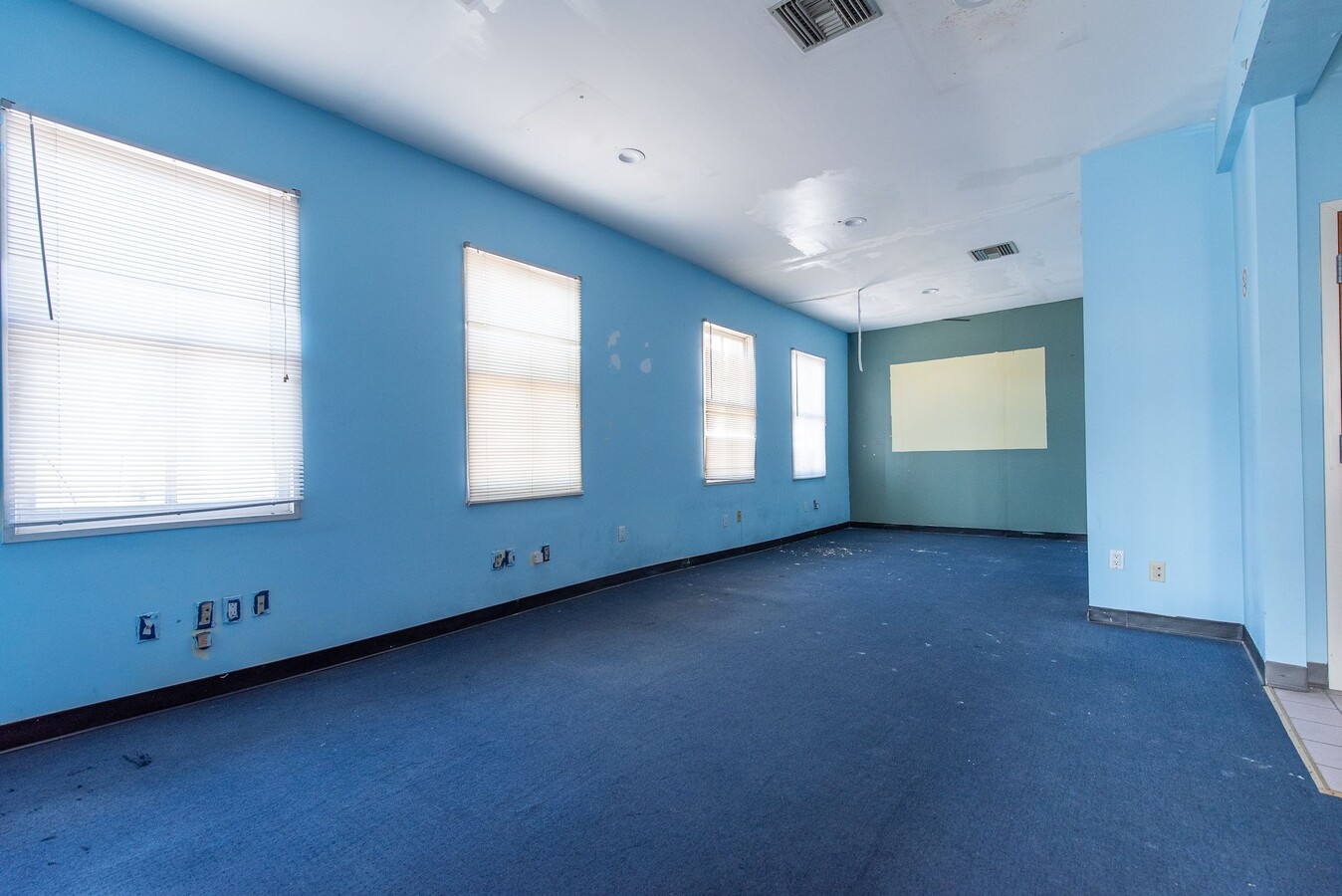
Property Record
122 Taunton Ave, East Providence, RI 02914
NEARBY LISTINGS FOR SALE OR LEASE
Property Detail
122 Taunton Ave
EPRO-000106-000006-000014
Providence
Commercialbuilding
Rhode Island
X
14
44007C0309K
0.11 AC
2024
East Providence
2024
Providence
010200
Providence-Warwick, RI-MA
6,730 SF
DEMOGRAPHICS near 122 Taunton Ave
1 Mile
3 Mile
5 Mile
2024 Total Population
20,171
142,923
388,833
2029 Population
19,965
141,733
384,800
Pop Growth 2024-2029
(1.02%)
(0.83%)
(1.04%)
Average Age
41
38
38
2024 Total Households
9,219
57,821
153,383
HH Growth 2024-2029
(1.08%)
(0.64%)
(0.99%)
Median Household Inc
$55,981
$61,515
$62,084
Avg Household Size
2.10
2.20
2.40
2024 Avg HH Vehicles
1.00
1.00
2.00
Median Home Value
$285,927
$344,421
$289,927
Median Year Built
1947
1948
1949
Nearby Places
- Restaurants
- Banks
- Shops
- Fitness
- Groceries
PUBLIC TRANSPORTATION
COMMUTER RAIL
Providence (Providence/Stoughton Line - Massachusetts Bay Transportation Authority Commuter Rail (Purple Line))
DRIVE
WALK
Distance
Providence (Providence/Stoughton Line - Massachusetts Bay Transportation Authority Commuter Rail (Purple Line))
4 min
2.3 mi
Pawtucket/Central Falls (Foxboro Event Service - MBTA, Providence/Stoughton Line - MBTA)
DRIVE
WALK
Distance
Pawtucket/Central Falls (Foxboro Event Service - MBTA, Providence/Stoughton Line - MBTA)
11 min
7.2 mi
AIRPORT
Rhode Island Tf Green International
DRIVE
WALK
Distance
Rhode Island Tf Green International
18 min
9.2 mi
Freight Ports
Port of Davisville, RI
DRIVE
WALK
Distance
Port of Davisville, RI
34 min
21.6 mi
Nearby Properties
Address
Land Use
TOTAL SIZE
Lot Size
Zoning
Address
Land Use
TOTAL SIZE
Lot Size
Zoning
15.88 AC
D-1-75
Address
Land Use
TOTAL SIZE
Lot Size
Zoning
21.60 AC
I-1-20
Address
Land Use
TOTAL SIZE
Lot Size
Zoning
2.25 AC
I-2
Address
Land Use
TOTAL SIZE
Lot Size
Zoning
199.13 AC
OS
Address
Land Use
TOTAL SIZE
Lot Size
Zoning
64.44 AC
I-1-75
Address
Land Use
TOTAL SIZE
Lot Size
Zoning
162,816 SF
16.52 AC
D-1-10
Address
Land Use
TOTAL SIZE
Lot Size
Zoning
4.14 AC
D-1-30
Address
Land Use
TOTAL SIZE
Lot Size
Zoning
13.84 AC
I-2
Address
Land Use
TOTAL SIZE
Lot Size
Zoning
5.05 AC
I-1-75
Address
Land Use
TOTAL SIZE
Lot Size
Zoning
45,407 SF
38.03 AC
I-2
Address
Land Use
TOTAL SIZE
Lot Size
Zoning
12.41 AC
D-1-10
Address
Land Use
TOTAL SIZE
Lot Size
Zoning
2.74 AC
I-2
Address
Land Use
TOTAL SIZE
Lot Size
Zoning
280,000 SF
0.75 AC
I-2
Address
Land Use
TOTAL SIZE
Lot Size
Zoning
8.93 AC
OS
Address
Land Use
TOTAL SIZE
Lot Size
Zoning
326,788 SF
28.20 AC
O1
Address
Land Use
TOTAL SIZE
Lot Size
Zoning
233,468 SF
1.55 AC
I-1-20
Address
Land Use
TOTAL SIZE
Lot Size
Zoning
79.57 AC
O1
Address
Land Use
TOTAL SIZE
Lot Size
Zoning
19.69 AC
R-1
Address
Land Use
TOTAL SIZE
Lot Size
Zoning
314,273 SF
D-1-20
Address
Land Use
TOTAL SIZE
Lot Size
Zoning
205,551 SF
1.38 AC
C-2
Address
Land Use
TOTAL SIZE
Lot Size
Zoning
6.39 AC
I-2
Address
Land Use
TOTAL SIZE
Lot Size
Zoning
Address
Land Use
TOTAL SIZE
Lot Size
Zoning
18.51 AC
PS
Address
Land Use
TOTAL SIZE
Lot Size
Zoning
4.21 AC
I-2
Address
Land Use
TOTAL SIZE
Lot Size
Zoning
174,352 SF
2.50 AC
I-1-20
Address
Land Use
TOTAL SIZE
Lot Size
Zoning
202,461 SF
1.64 AC
D-1-10
Address
Land Use
TOTAL SIZE
Lot Size
Zoning
2.01 AC
I-2
Address
Land Use
TOTAL SIZE
Lot Size
Zoning
244,872 SF
1.25 AC
D-1-12
Address
Land Use
TOTAL SIZE
Lot Size
Zoning
57,688 SF
0.46 AC
I-2
Address
Land Use
TOTAL SIZE
Lot Size
Zoning
4.88 AC
I-2
The World's #1 Commercial Real Estate Marketplace
Connect with us
© 2025 CoStar Group
The information above has been obtained from sources believed reliable. While we do not doubt its accuracy we have not verified it and make no guarantee, warranty or representation about it. It is your responsibility to independently confirm its accuracy and completeness. Any projections, opinions, assumptions, or estimates used are for example only and do not represent the current or future performance of the property. The value of this transaction to you depends on tax and other factors which should be evaluated by your tax, financial, and legal advisors. You and your advisors should conduct a careful, independent investigation of the property to determine to your satisfaction the suitability of the property for your needs.