Property Record
122 Route 44, Millerton, NY 12546
NEARBY LISTINGS FOR SALE OR LEASE
-
-
View all Millerton listings for lease on LoopNet.com
Property Detail
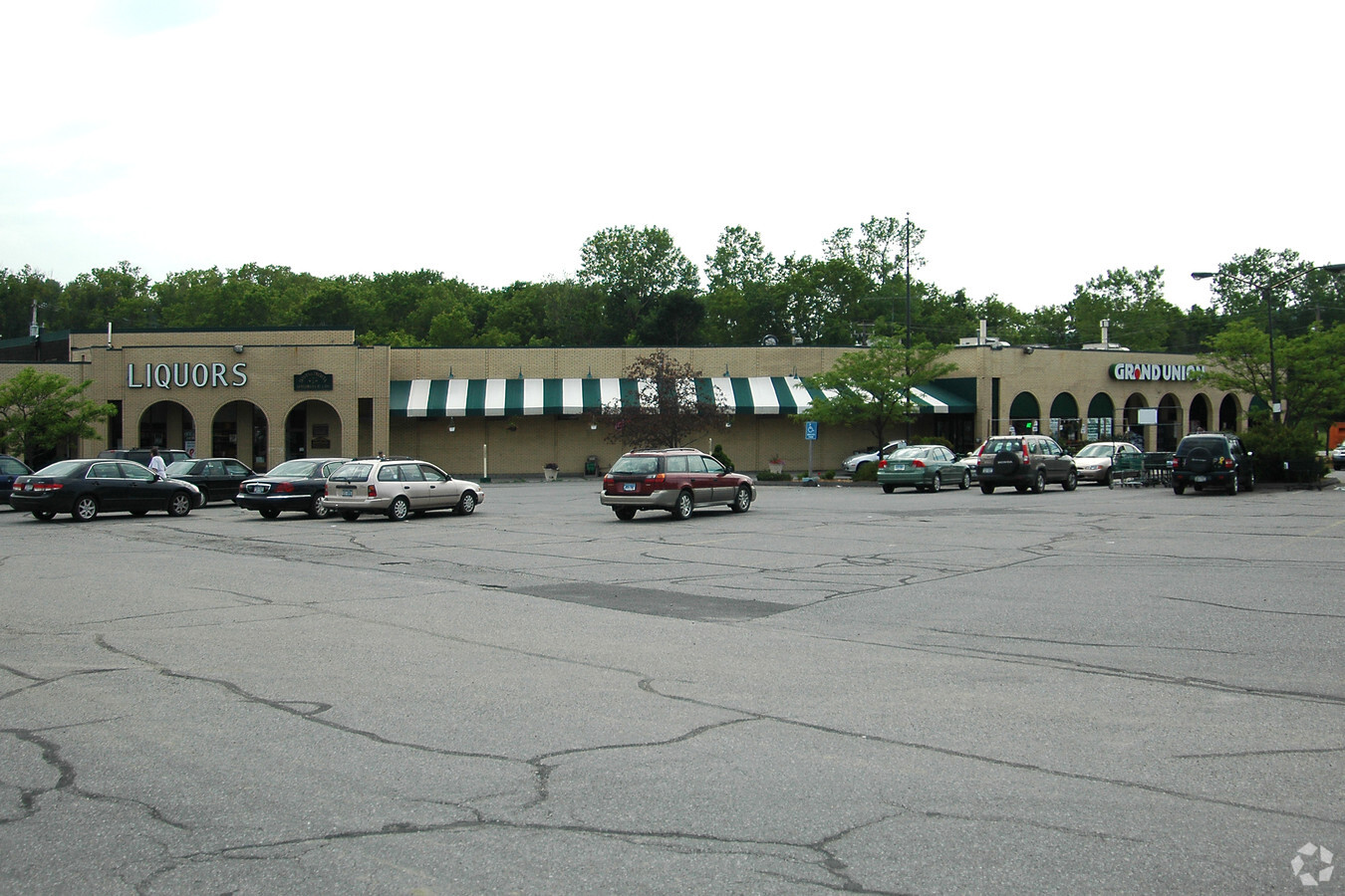
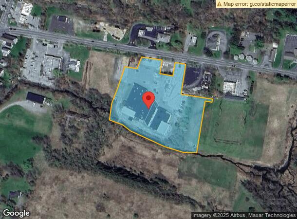
122 Route 44
133889-7271-00-585220-0000
4.12 AC
Supermarket
Dutchess
AE
New York
36027C0209E
585
2024
4.90 AC
2023
Fishkill
100000
Westchester/So Connecticut
43,644 SF
Dutchess County-Putnam County, NY
DEMOGRAPHICS near 122 Route 44
1 Mile
3 Mile
5 Mile
2024 Total Population
1,049
2,744
5,922
2029 Population
996
2,686
5,845
Pop Growth 2024-2029
(5.05%)
(2.11%)
(1.30%)
Average Age
43
45
46
2024 Total Households
442
1,147
2,511
HH Growth 2024-2029
(4.98%)
(2.09%)
(1.23%)
Median Household Inc
$70,068
$78,977
$86,204
Avg Household Size
2.30
2.30
2.20
2024 Avg HH Vehicles
2.00
2.00
2.00
Median Home Value
$299,285
$387,747
$456,474
Median Year Built
1950
1959
1958
Nearby Places
- Restaurants
- Banks
- Shops
- Fitness
- Groceries
SALE & LEASE HISTORY
LISTING DATE
SALE/LEASE

Jan 29, 2019
For Lease
Nearby Properties
Address
Land Use
TOTAL SIZE
Lot Size
Zoning
Address
Land Use
TOTAL SIZE
Lot Size
Zoning
Address
Land Use
TOTAL SIZE
Lot Size
Zoning
Address
Land Use
TOTAL SIZE
Lot Size
Zoning
350.86 AC
Address
Land Use
TOTAL SIZE
Lot Size
Zoning
1,613 SF
163.16 AC
Address
Land Use
TOTAL SIZE
Lot Size
Zoning
101,925 SF
21.20 AC
MA
Address
Land Use
TOTAL SIZE
Lot Size
Zoning
5.06 AC
Address
Land Use
TOTAL SIZE
Lot Size
Zoning
77,237 SF
11.55 AC
M
Address
Land Use
TOTAL SIZE
Lot Size
Zoning
2.96 AC
Address
Land Use
TOTAL SIZE
Lot Size
Zoning
253.30 AC
A5A
Address
Land Use
TOTAL SIZE
Lot Size
Zoning
257.69 AC
2
Address
Land Use
TOTAL SIZE
Lot Size
Zoning
Address
Land Use
TOTAL SIZE
Lot Size
Zoning
1.82 AC
Address
Land Use
TOTAL SIZE
Lot Size
Zoning
4,919 SF
0.89 AC
GB
Address
Land Use
TOTAL SIZE
Lot Size
Zoning
5.75 AC
Address
Land Use
TOTAL SIZE
Lot Size
Zoning
3.41 AC
Address
Land Use
TOTAL SIZE
Lot Size
Zoning
2.16 AC
Address
Land Use
TOTAL SIZE
Lot Size
Zoning
10,240 SF
0.39 AC
BD-3
Address
Land Use
TOTAL SIZE
Lot Size
Zoning
10,909 SF
10.40 AC
Address
Land Use
TOTAL SIZE
Lot Size
Zoning
7.31 AC
Address
Land Use
TOTAL SIZE
Lot Size
Zoning
Address
Land Use
TOTAL SIZE
Lot Size
Zoning
3.63 AC
Address
Land Use
TOTAL SIZE
Lot Size
Zoning
1.48 AC
Address
Land Use
TOTAL SIZE
Lot Size
Zoning
236.43 AC
A5A
Address
Land Use
TOTAL SIZE
Lot Size
Zoning
34.35 AC
Address
Land Use
TOTAL SIZE
Lot Size
Zoning
1,508 SF
153.11 AC
A5A
Address
Land Use
TOTAL SIZE
Lot Size
Zoning
1.71 AC
Address
Land Use
TOTAL SIZE
Lot Size
Zoning
6,805 SF
17.70 AC
LC
Address
Land Use
TOTAL SIZE
Lot Size
Zoning
7.68 AC
Address
Land Use
TOTAL SIZE
Lot Size
Zoning
2.05 AC
The World's #1 Commercial Real Estate Marketplace
Connect with us
© 2025 CoStar Group
The information above has been obtained from sources believed reliable. While we do not doubt its accuracy we have not verified it and make no guarantee, warranty or representation about it. It is your responsibility to independently confirm its accuracy and completeness. Any projections, opinions, assumptions, or estimates used are for example only and do not represent the current or future performance of the property. The value of this transaction to you depends on tax and other factors which should be evaluated by your tax, financial, and legal advisors. You and your advisors should conduct a careful, independent investigation of the property to determine to your satisfaction the suitability of the property for your needs.