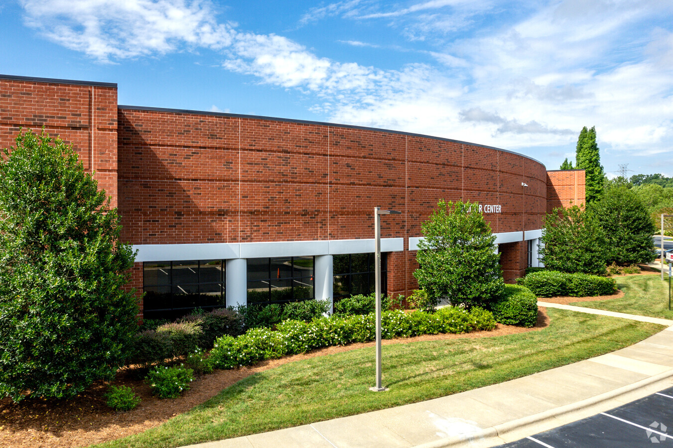
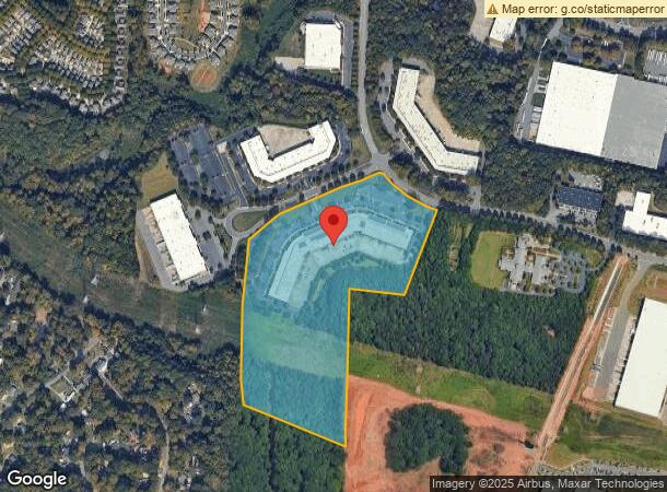
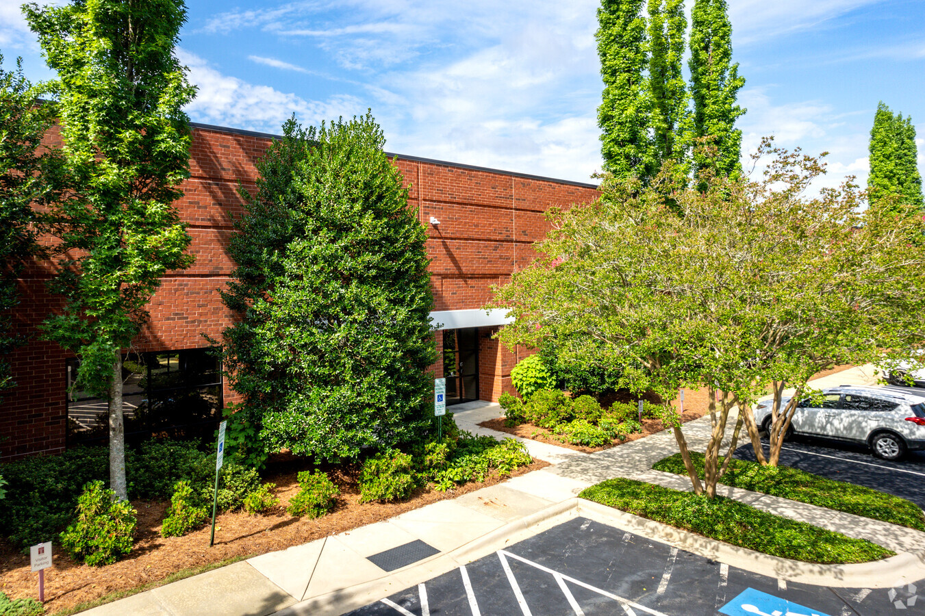
Property Record
12200 Herbert Wayne Ct, Huntersville, NC 28078

NEARBY LISTINGS FOR SALE OR LEASE
Property Detail
12200 Herbert Wayne Ct
Charlotte-Concord-Gastonia, NC-SC
Herbert Wayne Court
017-461-03
L3 M56-956
Industrialgeneral
Mecklenburg
X
North Carolina
3710464000K
3
2023
23.84 AC
2023
North
006224
Charlotte
125,072 SF
DEMOGRAPHICS near 12200 Herbert Wayne Ct
1 Mile
3 Mile
5 Mile
2024 Total Population
4,649
41,761
113,257
2029 Population
4,890
44,379
120,057
Pop Growth 2024-2029
+ 5.18%
+ 6.27%
+ 6.00%
Average Age
37
37
37
2024 Total Households
1,838
16,282
43,277
HH Growth 2024-2029
+ 5.33%
+ 6.41%
+ 6.07%
Median Household Inc
$84,484
$97,984
$92,725
Avg Household Size
2.50
2.50
2.60
2024 Avg HH Vehicles
2.00
2.00
2.00
Median Home Value
$319,280
$343,493
$334,835
Median Year Built
2004
2004
2002
Nearby Places
- Restaurants
- Banks
- Shops
- Fitness
- Groceries
PUBLIC TRANSPORTATION
AIRPORT
Concord-Padgett Regional
DRIVE
WALK
Distance
Concord-Padgett Regional
22 min
11.9 mi
Charlotte/Douglas International
DRIVE
WALK
Distance
Charlotte/Douglas International
33 min
19.8 mi
Freight Ports
North Charleston Terminal
DRIVE
WALK
Distance
North Charleston Terminal
245 min
212.0 mi
SALE & LEASE HISTORY
LISTING DATE
SALE/LEASE

Nov 01, 2018
For Lease
May 02, 2017
For Lease
Nearby Properties
Address
Land Use
TOTAL SIZE
Lot Size
Zoning
Address
Land Use
TOTAL SIZE
Lot Size
Zoning
719,240 SF
55.73 AC
CC
Address
Land Use
TOTAL SIZE
Lot Size
Zoning
417,671 SF
30.58 AC
CICD
Address
Land Use
TOTAL SIZE
Lot Size
Zoning
338,136 SF
15.13 AC
Address
Land Use
TOTAL SIZE
Lot Size
Zoning
290,556 SF
20.76 AC
Address
Land Use
TOTAL SIZE
Lot Size
Zoning
300,293 SF
49.85 AC
R
Address
Land Use
TOTAL SIZE
Lot Size
Zoning
223,714 SF
16.93 AC
CB
Address
Land Use
TOTAL SIZE
Lot Size
Zoning
211,601 SF
20.80 AC
Address
Land Use
TOTAL SIZE
Lot Size
Zoning
220,336 SF
11.52 AC
Address
Land Use
TOTAL SIZE
Lot Size
Zoning
172,200 SF
8.07 AC
Address
Land Use
TOTAL SIZE
Lot Size
Zoning
249,694 SF
41.60 AC
NR
Address
Land Use
TOTAL SIZE
Lot Size
Zoning
134,925 SF
13.68 AC
CC
Address
Land Use
TOTAL SIZE
Lot Size
Zoning
165,567 SF
22.80 AC
NR
Address
Land Use
TOTAL SIZE
Lot Size
Zoning
255,119 SF
20.39 AC
R12MFCD
Address
Land Use
TOTAL SIZE
Lot Size
Zoning
211,235 SF
49.22 AC
CI
Address
Land Use
TOTAL SIZE
Lot Size
Zoning
217,845 SF
9.58 AC
CB
Address
Land Use
TOTAL SIZE
Lot Size
Zoning
127,866 SF
3.72 AC
Address
Land Use
TOTAL SIZE
Lot Size
Zoning
177,149 SF
15.21 AC
CB
Address
Land Use
TOTAL SIZE
Lot Size
Zoning
588,388 SF
38.51 AC
CB
Address
Land Use
TOTAL SIZE
Lot Size
Zoning
442,024 SF
37.16 AC
CB
Address
Land Use
TOTAL SIZE
Lot Size
Zoning
196,022 SF
9.04 AC
Address
Land Use
TOTAL SIZE
Lot Size
Zoning
174,118 SF
10.92 AC
R17MFCD
Address
Land Use
TOTAL SIZE
Lot Size
Zoning
306,007 SF
22.40 AC
Address
Land Use
TOTAL SIZE
Lot Size
Zoning
156,092 SF
17.20 AC
NRCD
Address
Land Use
TOTAL SIZE
Lot Size
Zoning
113,792 SF
174 SF
CI(CD)
Address
Land Use
TOTAL SIZE
Lot Size
Zoning
461,464 SF
24 AC
I-2
Address
Land Use
TOTAL SIZE
Lot Size
Zoning
148,280 SF
4.46 AC
Address
Land Use
TOTAL SIZE
Lot Size
Zoning
350,599 SF
20.47 AC
I-1
Address
Land Use
TOTAL SIZE
Lot Size
Zoning
159,789 SF
9.21 AC
R17MFCD
Address
Land Use
TOTAL SIZE
Lot Size
Zoning
174,138 SF
9.07 AC
Address
Land Use
TOTAL SIZE
Lot Size
Zoning
76,897 SF
7.10 AC
CB
The World's #1 Commercial Real Estate Marketplace
Connect with us
© 2025 CoStar Group
The information above has been obtained from sources believed reliable. While we do not doubt its accuracy we have not verified it and make no guarantee, warranty or representation about it. It is your responsibility to independently confirm its accuracy and completeness. Any projections, opinions, assumptions, or estimates used are for example only and do not represent the current or future performance of the property. The value of this transaction to you depends on tax and other factors which should be evaluated by your tax, financial, and legal advisors. You and your advisors should conduct a careful, independent investigation of the property to determine to your satisfaction the suitability of the property for your needs.