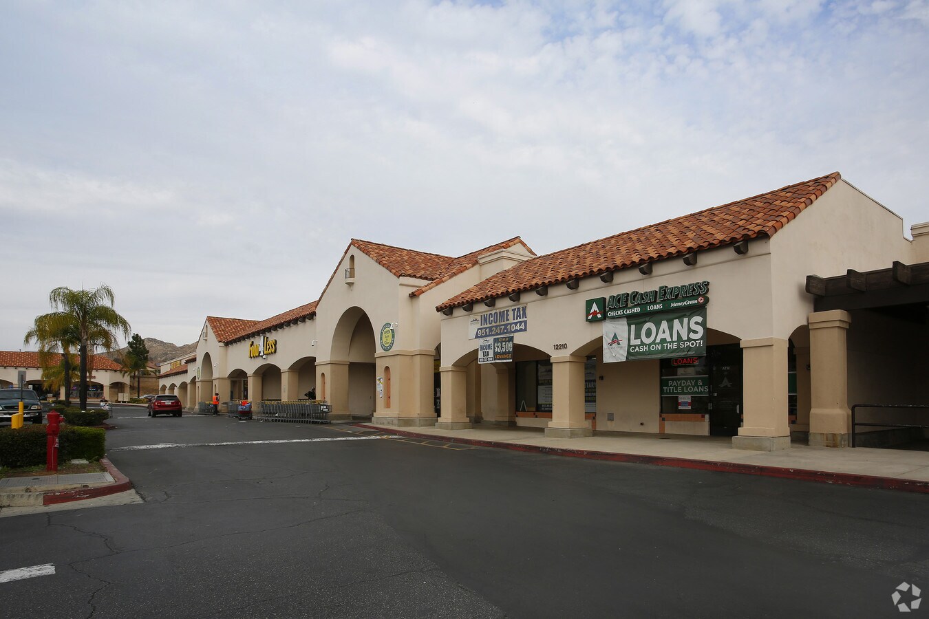
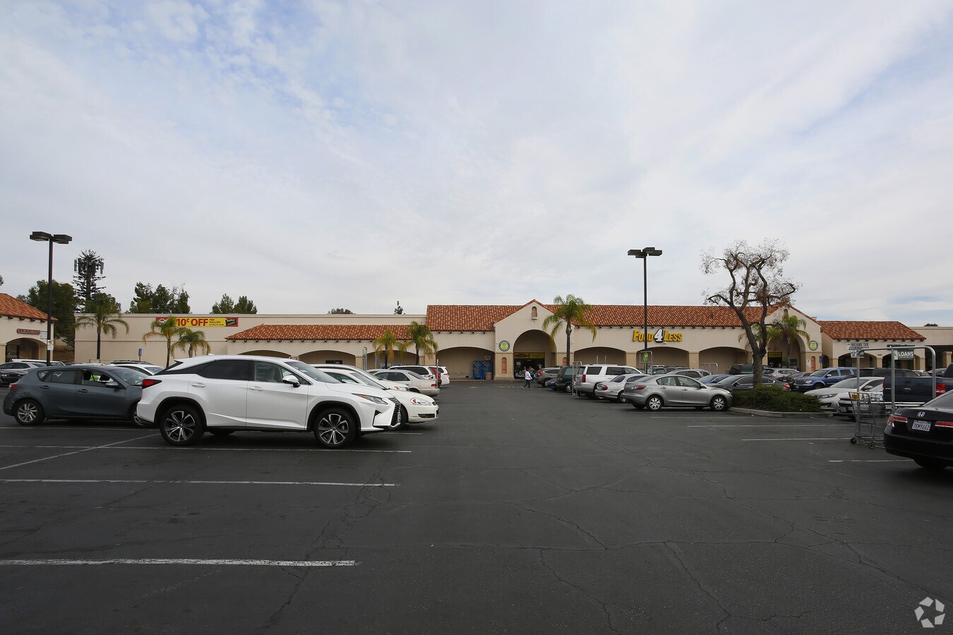
Property Record
12200 Perris Blvd, Moreno Valley, CA 92557

NEARBY LISTINGS FOR SALE OR LEASE
Property Detail
12200 Perris Blvd
479-020-051
3.72 ACRES M/L IN POR PAR 2 PM 157/051 PM 22036
Supermarket
Riverside
X
California
06065C0753G
2
2023
1.22 AC
2023
Moreno Valley/Perris
0424032004
Inland Empire (California)
55,205 SF
Riverside-San Bernardino-Ontario, CA
DEMOGRAPHICS near 12200 Perris Blvd
1 Mile
3 Mile
5 Mile
2024 Total Population
21,650
132,468
209,940
2029 Population
22,765
139,076
220,575
Pop Growth 2024-2029
+ 5.15%
+ 4.99%
+ 5.07%
Average Age
35
34
35
2024 Total Households
5,637
34,892
56,007
HH Growth 2024-2029
+ 4.68%
+ 4.56%
+ 4.65%
Median Household Inc
$74,117
$71,413
$77,232
Avg Household Size
3.70
3.60
3.60
2024 Avg HH Vehicles
3.00
2.00
2.00
Median Home Value
$390,110
$380,988
$395,371
Median Year Built
1983
1985
1987
Nearby Places
- Restaurants
- Banks
- Shops
- Fitness
- Groceries
PUBLIC TRANSPORTATION
COMMUTER RAIL
Moreno Valley/March Field (Metrolink 91-Perris Valley Line - Metrolink Trains)
DRIVE
WALK
Distance
Moreno Valley/March Field (Metrolink 91-Perris Valley Line - Metrolink Trains)
10 min
6.9 mi
Riverside-Hunter Park/Ucr (Metrolink 91-Perris Valley Line - Metrolink Trains)
DRIVE
WALK
Distance
Riverside-Hunter Park/Ucr (Metrolink 91-Perris Valley Line - Metrolink Trains)
13 min
9.6 mi
AIRPORT
Ontario International
DRIVE
WALK
Distance
Ontario International
33 min
26.4 mi
Freight Ports
Port of Long Beach
DRIVE
WALK
Distance
Port of Long Beach
85 min
65.6 mi
Nearby Properties
Address
Land Use
TOTAL SIZE
Lot Size
Zoning
Address
Land Use
TOTAL SIZE
Lot Size
Zoning
1,280,446 SF
51.47 AC
Address
Land Use
TOTAL SIZE
Lot Size
Zoning
607,644 SF
26.09 AC
O
Address
Land Use
TOTAL SIZE
Lot Size
Zoning
283,209 SF
16.91 AC
R20
Address
Land Use
TOTAL SIZE
Lot Size
Zoning
74,096 SF
10.76 AC
SP218
Address
Land Use
TOTAL SIZE
Lot Size
Zoning
91,891 SF
20.61 AC
R20
Address
Land Use
TOTAL SIZE
Lot Size
Zoning
430,647 SF
31.09 AC
Address
Land Use
TOTAL SIZE
Lot Size
Zoning
532,926 SF
24.37 AC
Address
Land Use
TOTAL SIZE
Lot Size
Zoning
38,400 SF
15.73 AC
R3
Address
Land Use
TOTAL SIZE
Lot Size
Zoning
252,504 SF
13.11 AC
SP
Address
Land Use
TOTAL SIZE
Lot Size
Zoning
34,691 SF
25.86 AC
C
Address
Land Use
TOTAL SIZE
Lot Size
Zoning
41,521 SF
13.43 AC
C
Address
Land Use
TOTAL SIZE
Lot Size
Zoning
126,104 SF
7.73 AC
CC
Address
Land Use
TOTAL SIZE
Lot Size
Zoning
170,192 SF
10.42 AC
CC
Address
Land Use
TOTAL SIZE
Lot Size
Zoning
256,795 SF
12 AC
Address
Land Use
TOTAL SIZE
Lot Size
Zoning
164,120 SF
9.63 AC
R3
Address
Land Use
TOTAL SIZE
Lot Size
Zoning
212,680 SF
9.78 AC
Address
Land Use
TOTAL SIZE
Lot Size
Zoning
203,944 SF
7.88 AC
Address
Land Use
TOTAL SIZE
Lot Size
Zoning
104,282 SF
6.71 AC
BP
Address
Land Use
TOTAL SIZE
Lot Size
Zoning
223,637 SF
20.68 AC
Address
Land Use
TOTAL SIZE
Lot Size
Zoning
180,043 SF
8.76 AC
Address
Land Use
TOTAL SIZE
Lot Size
Zoning
178,665 SF
11.18 AC
Address
Land Use
TOTAL SIZE
Lot Size
Zoning
225,624 SF
12.41 AC
Address
Land Use
TOTAL SIZE
Lot Size
Zoning
45,732 SF
8.20 AC
R-20
Address
Land Use
TOTAL SIZE
Lot Size
Zoning
167,742 SF
17.73 AC
Address
Land Use
TOTAL SIZE
Lot Size
Zoning
66,946 SF
4.48 AC
R3
Address
Land Use
TOTAL SIZE
Lot Size
Zoning
27,884 SF
8.77 AC
R1
Address
Land Use
TOTAL SIZE
Lot Size
Zoning
130,002 SF
5.87 AC
LI
Address
Land Use
TOTAL SIZE
Lot Size
Zoning
6.08 AC
C1
Address
Land Use
TOTAL SIZE
Lot Size
Zoning
122,693 SF
5.36 AC
The World's #1 Commercial Real Estate Marketplace
Connect with us
© 2025 CoStar Group
The information above has been obtained from sources believed reliable. While we do not doubt its accuracy we have not verified it and make no guarantee, warranty or representation about it. It is your responsibility to independently confirm its accuracy and completeness. Any projections, opinions, assumptions, or estimates used are for example only and do not represent the current or future performance of the property. The value of this transaction to you depends on tax and other factors which should be evaluated by your tax, financial, and legal advisors. You and your advisors should conduct a careful, independent investigation of the property to determine to your satisfaction the suitability of the property for your needs.