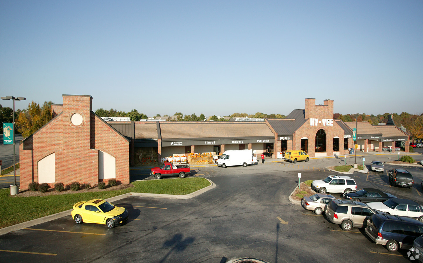
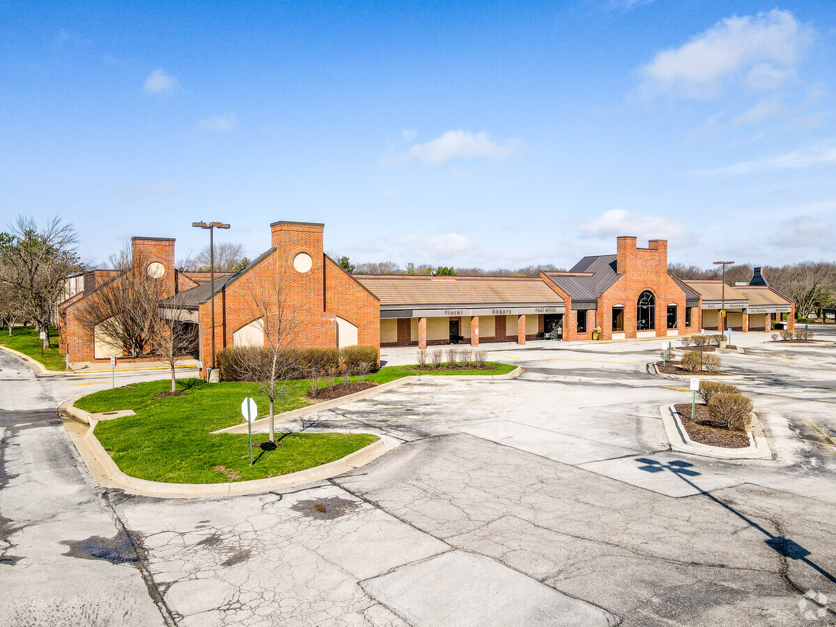
Property Record
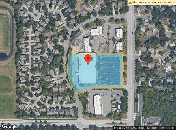
12200 State Line Rd, Leawood, KS 66209
NEARBY LISTINGS FOR SALE OR LEASE
Property Detail
12200 State Line Rd
HP70000000-0T02
Leawood Plaza Tract 2
Publicschool
LEAWOOD PLAZA TRACT 2 LWC 490 A1 2
X
Johnson
29095C0386G
Kansas
2023
4.82 AC
2023
South Johnson County
053301
Kansas City
60,960 SF
Kansas City, MO-KS
DEMOGRAPHICS near 12200 State Line Rd
1 Mile
3 Mile
5 Mile
2024 Total Population
7,830
54,101
169,499
2029 Population
7,959
55,569
174,614
Pop Growth 2024-2029
+ 1.65%
+ 2.71%
+ 3.02%
Average Age
46
45
42
2024 Total Households
2,912
23,802
72,845
HH Growth 2024-2029
+ 1.58%
+ 2.72%
+ 3.06%
Median Household Inc
$148,944
$99,946
$89,996
Avg Household Size
2.60
2.20
2.30
2024 Avg HH Vehicles
2.00
2.00
2.00
Median Home Value
$445,725
$425,650
$368,862
Median Year Built
1982
1986
1983
Nearby Places
- Restaurants
- Banks
- Shops
- Fitness
- Groceries
PUBLIC TRANSPORTATION
AIRPORT
Kansas City International
DRIVE
WALK
Distance
Kansas City International
52 min
40.0 mi
Freight Ports
Tulsa Port Of Catoosa
DRIVE
WALK
Distance
Tulsa Port Of Catoosa
251 min
224.3 mi
SALE & LEASE HISTORY
LISTING DATE
SALE/LEASE

Sep 24, 2016
For Lease
Oct 20, 2016
For Sale
Nearby Properties
Address
Land Use
TOTAL SIZE
Lot Size
Zoning
Address
Land Use
TOTAL SIZE
Lot Size
Zoning
364,818 SF
25.48 AC
R-1
Address
Land Use
TOTAL SIZE
Lot Size
Zoning
384,819 SF
67.59 AC
AG
Address
Land Use
TOTAL SIZE
Lot Size
Zoning
47.38 AC
AG
Address
Land Use
TOTAL SIZE
Lot Size
Zoning
177,588 SF
9.26 AC
CP-O
Address
Land Use
TOTAL SIZE
Lot Size
Zoning
316,432 SF
29.39 AC
R-1
Address
Land Use
TOTAL SIZE
Lot Size
Zoning
189,882 SF
13.04 AC
CP-O
Address
Land Use
TOTAL SIZE
Lot Size
Zoning
3,426,762 SF
183.76 AC
CP-O
Address
Land Use
TOTAL SIZE
Lot Size
Zoning
305,147 SF
49.02 AC
R-1
Address
Land Use
TOTAL SIZE
Lot Size
Zoning
325,588 SF
36.63 AC
SD-CR
Address
Land Use
TOTAL SIZE
Lot Size
Zoning
173,314 SF
25.83 AC
R-1
Address
Land Use
TOTAL SIZE
Lot Size
Zoning
184,524 SF
33.20 AC
AG
Address
Land Use
TOTAL SIZE
Lot Size
Zoning
120,305 SF
7.01 AC
CP-O
Address
Land Use
TOTAL SIZE
Lot Size
Zoning
240,042 SF
8.40 AC
CP-O
Address
Land Use
TOTAL SIZE
Lot Size
Zoning
79,917 SF
7.86 AC
SD-NCR
Address
Land Use
TOTAL SIZE
Lot Size
Zoning
110,710 SF
4.66 AC
CP-O
Address
Land Use
TOTAL SIZE
Lot Size
Zoning
335,643 SF
25.13 AC
R-1
Address
Land Use
TOTAL SIZE
Lot Size
Zoning
73,383 SF
9.53 AC
R-1
Address
Land Use
TOTAL SIZE
Lot Size
Zoning
105,110 SF
8.93 AC
AG
Address
Land Use
TOTAL SIZE
Lot Size
Zoning
166,097 SF
37.29 AC
R-1
Address
Land Use
TOTAL SIZE
Lot Size
Zoning
72,184 SF
9.53 AC
AG
Address
Land Use
TOTAL SIZE
Lot Size
Zoning
59,570 SF
8.46 AC
SD-O
Address
Land Use
TOTAL SIZE
Lot Size
Zoning
351,705 SF
22.71 AC
Address
Land Use
TOTAL SIZE
Lot Size
Zoning
179,965 SF
6.14 AC
CP-O
Address
Land Use
TOTAL SIZE
Lot Size
Zoning
66,083 SF
14.91 AC
R-1
Address
Land Use
TOTAL SIZE
Lot Size
Zoning
159,274 SF
14.38 AC
SD-CR
Address
Land Use
TOTAL SIZE
Lot Size
Zoning
449,148 SF
30.98 AC
CP-O
Address
Land Use
TOTAL SIZE
Lot Size
Zoning
68,493 SF
9.92 AC
R-1
Address
Land Use
TOTAL SIZE
Lot Size
Zoning
40,181 SF
1.80 AC
MXD
Address
Land Use
TOTAL SIZE
Lot Size
Zoning
157,280 SF
25.10 AC
Address
Land Use
TOTAL SIZE
Lot Size
Zoning
28,633 SF
13.25 AC
R-1
The World's #1 Commercial Real Estate Marketplace
Connect with us
© 2025 CoStar Group
The information above has been obtained from sources believed reliable. While we do not doubt its accuracy we have not verified it and make no guarantee, warranty or representation about it. It is your responsibility to independently confirm its accuracy and completeness. Any projections, opinions, assumptions, or estimates used are for example only and do not represent the current or future performance of the property. The value of this transaction to you depends on tax and other factors which should be evaluated by your tax, financial, and legal advisors. You and your advisors should conduct a careful, independent investigation of the property to determine to your satisfaction the suitability of the property for your needs.