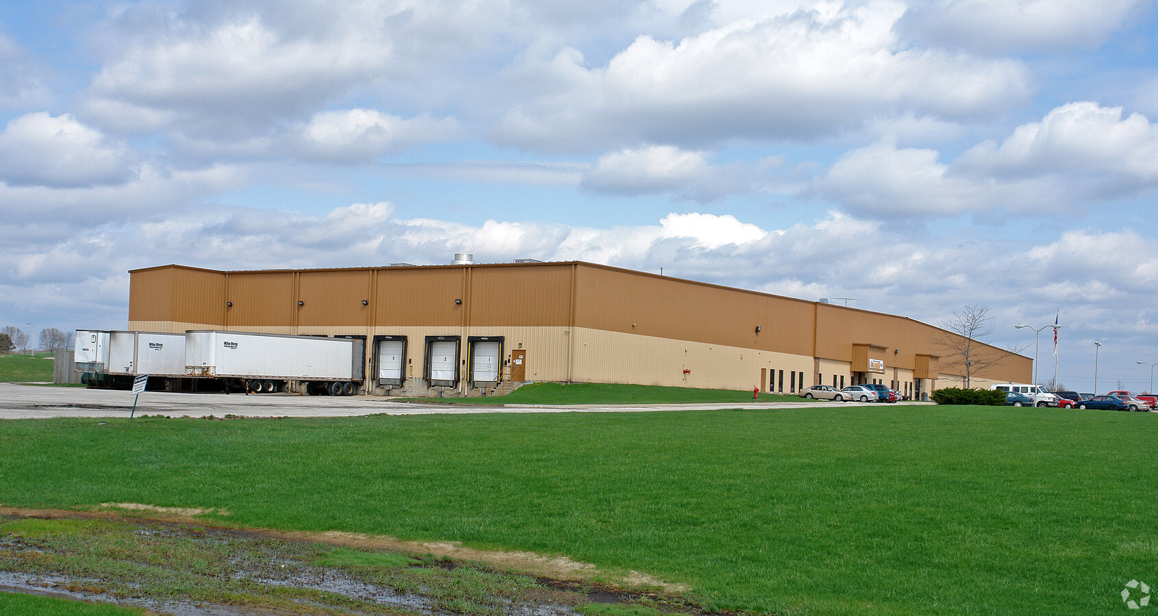
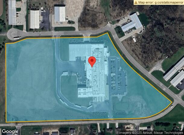
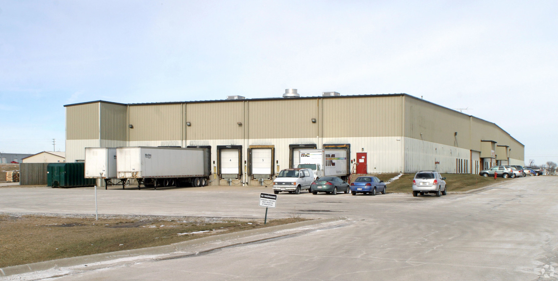
Property Record
1222 Perry Way, Watertown, WI 53094
NEARBY LISTINGS FOR SALE OR LEASE
Property Detail
1222 Perry Way
Watertown-Fort Atkinson, WI
Cetified Survey Map No 2009
291-0815-0714-005
LOT 2, CSM 2009-06-286, DOC 829547.
Industrialgeneral
Jefferson
X
Wisconsin
55055C0067F
2
2024
23 AC
2024
Jefferson North
100301
Milwaukee/Madison
DEMOGRAPHICS near 1222 Perry Way
1 Mile
3 Mile
5 Mile
2024 Total Population
2,443
22,954
28,207
2029 Population
2,478
23,295
28,532
Pop Growth 2024-2029
+ 1.43%
+ 1.49%
+ 1.15%
Average Age
43
41
42
2024 Total Households
884
9,215
11,414
HH Growth 2024-2029
+ 1.58%
+ 1.44%
+ 1.13%
Median Household Inc
$79,119
$62,167
$61,384
Avg Household Size
2.70
2.30
2.30
2024 Avg HH Vehicles
2.00
2.00
2.00
Median Home Value
$216,909
$183,150
$191,375
Median Year Built
1996
1969
1974
Nearby Places
- Restaurants
- Banks
- Shops
- Fitness
- Groceries
PUBLIC TRANSPORTATION
AIRPORT
Dane County Regional/Truax Field
DRIVE
WALK
Distance
Dane County Regional/Truax Field
52 min
40.6 mi
Freight Ports
Port Milwaukee
DRIVE
WALK
Distance
Port Milwaukee
70 min
54.7 mi
Nearby Properties
Address
Land Use
TOTAL SIZE
Lot Size
Zoning
Address
Land Use
TOTAL SIZE
Lot Size
Zoning
31.27 AC
Address
Land Use
TOTAL SIZE
Lot Size
Zoning
10.33 AC
Address
Land Use
TOTAL SIZE
Lot Size
Zoning
20.15 AC
Address
Land Use
TOTAL SIZE
Lot Size
Zoning
9.26 AC
Address
Land Use
TOTAL SIZE
Lot Size
Zoning
15.89 AC
Address
Land Use
TOTAL SIZE
Lot Size
Zoning
34.59 AC
Address
Land Use
TOTAL SIZE
Lot Size
Zoning
16.29 AC
Address
Land Use
TOTAL SIZE
Lot Size
Zoning
Address
Land Use
TOTAL SIZE
Lot Size
Zoning
15.39 AC
Address
Land Use
TOTAL SIZE
Lot Size
Zoning
5.71 AC
Address
Land Use
TOTAL SIZE
Lot Size
Zoning
21.50 AC
Address
Land Use
TOTAL SIZE
Lot Size
Zoning
15.16 AC
Address
Land Use
TOTAL SIZE
Lot Size
Zoning
2.59 AC
Address
Land Use
TOTAL SIZE
Lot Size
Zoning
12.91 AC
Address
Land Use
TOTAL SIZE
Lot Size
Zoning
3.68 AC
Address
Land Use
TOTAL SIZE
Lot Size
Zoning
2.06 AC
Address
Land Use
TOTAL SIZE
Lot Size
Zoning
0.47 AC
Address
Land Use
TOTAL SIZE
Lot Size
Zoning
Address
Land Use
TOTAL SIZE
Lot Size
Zoning
12.65 AC
Address
Land Use
TOTAL SIZE
Lot Size
Zoning
Address
Land Use
TOTAL SIZE
Lot Size
Zoning
Address
Land Use
TOTAL SIZE
Lot Size
Zoning
10.74 AC
Address
Land Use
TOTAL SIZE
Lot Size
Zoning
0.99 AC
Address
Land Use
TOTAL SIZE
Lot Size
Zoning
8.30 AC
Address
Land Use
TOTAL SIZE
Lot Size
Zoning
1.58 AC
Address
Land Use
TOTAL SIZE
Lot Size
Zoning
7.58 AC
Address
Land Use
TOTAL SIZE
Lot Size
Zoning
2.76 AC
Address
Land Use
TOTAL SIZE
Lot Size
Zoning
1.19 AC
Address
Land Use
TOTAL SIZE
Lot Size
Zoning
1.46 AC
The World's #1 Commercial Real Estate Marketplace
Connect with us
© 2025 CoStar Group
The information above has been obtained from sources believed reliable. While we do not doubt its accuracy we have not verified it and make no guarantee, warranty or representation about it. It is your responsibility to independently confirm its accuracy and completeness. Any projections, opinions, assumptions, or estimates used are for example only and do not represent the current or future performance of the property. The value of this transaction to you depends on tax and other factors which should be evaluated by your tax, financial, and legal advisors. You and your advisors should conduct a careful, independent investigation of the property to determine to your satisfaction the suitability of the property for your needs.