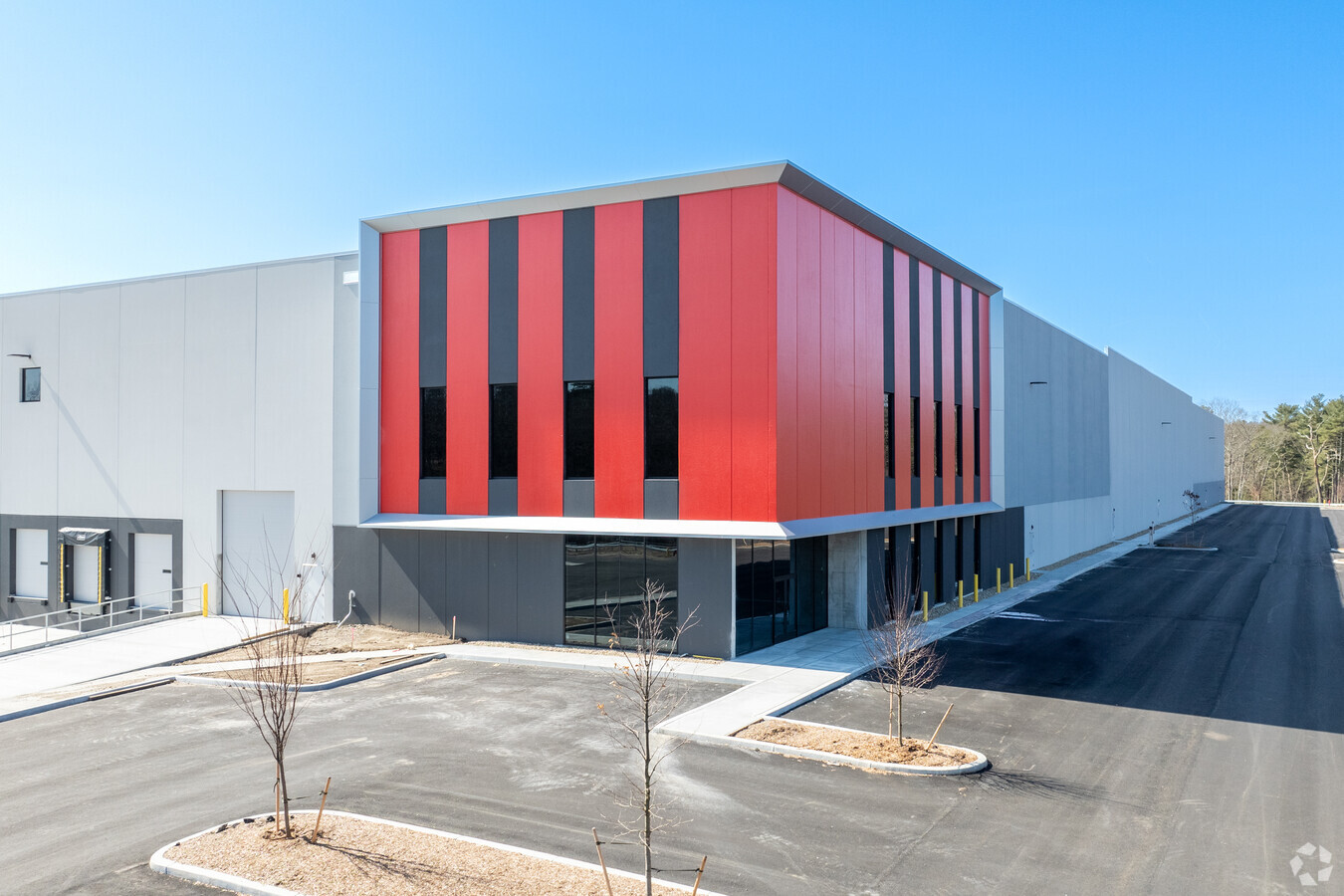
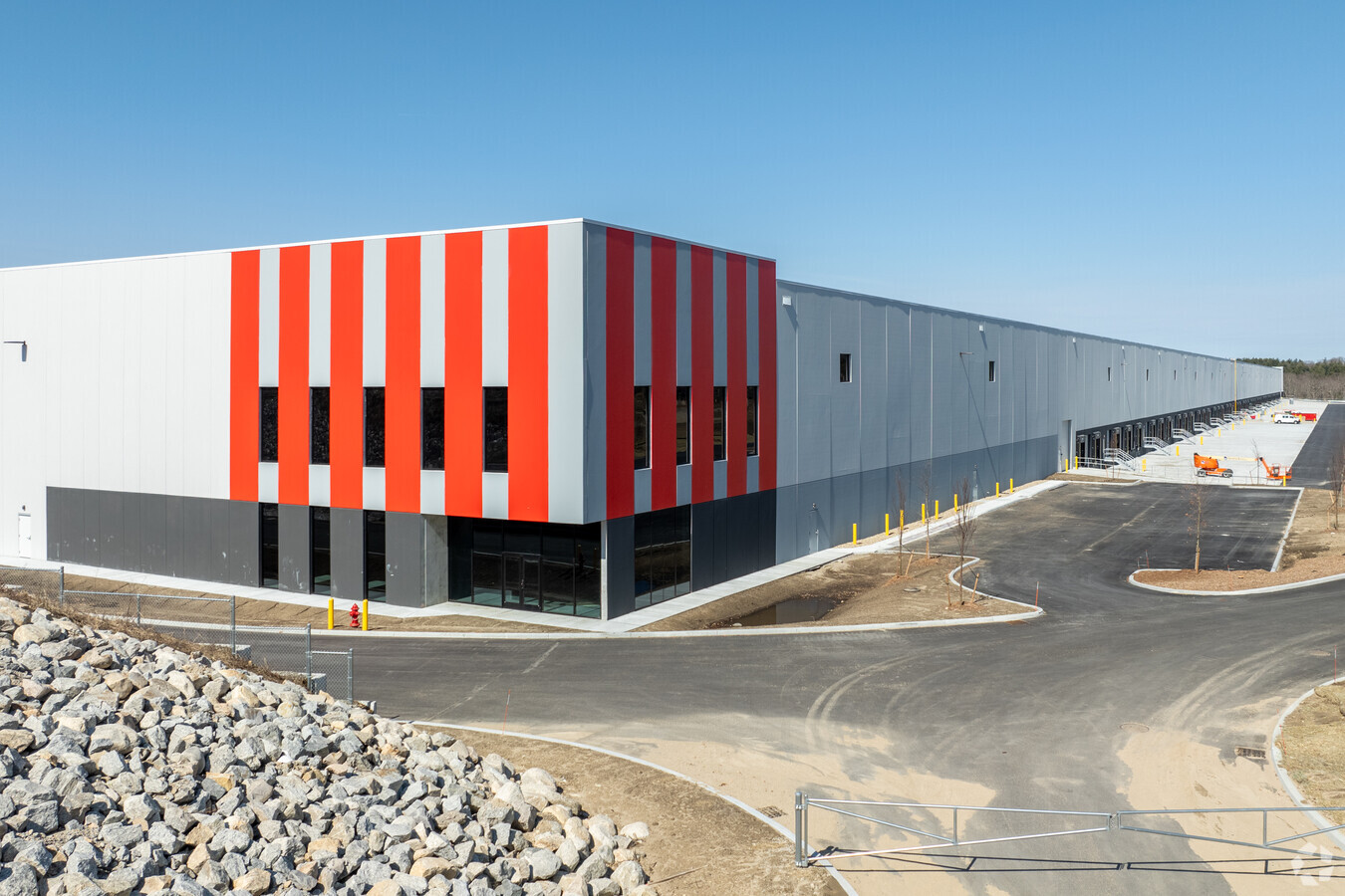
Property Record
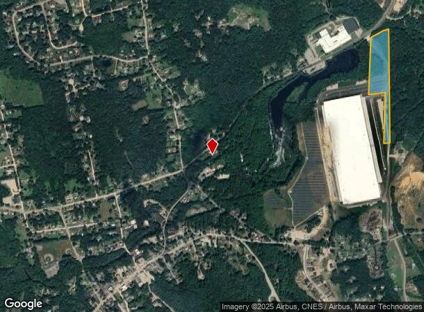
123 Gilboa St, Douglas, MA 01516
NEARBY LISTINGS FOR SALE OR LEASE
Property Detail
123 Gilboa St
Warehouse
Worcester
AE
Massachusetts
25027C1004E
64.40 AC
2025
Outlying Worcester
2025
Boston
752101
Worcester, MA-CT
4,958 SF
DOUG-000139-000001
DEMOGRAPHICS near 123 Gilboa St
1 Mile
3 Mile
5 Mile
2024 Total Population
1,269
15,823
37,162
2029 Population
1,241
15,728
37,083
Pop Growth 2024-2029
(2.21%)
(0.60%)
(0.21%)
Average Age
42
42
42
2024 Total Households
496
6,116
14,256
HH Growth 2024-2029
(2.22%)
(0.65%)
(0.30%)
Median Household Inc
$104,297
$106,241
$117,173
Avg Household Size
2.60
2.60
2.60
2024 Avg HH Vehicles
2.00
2.00
2.00
Median Home Value
$353,869
$386,519
$408,045
Median Year Built
1948
1972
1979
Nearby Places
- Restaurants
- Banks
- Shops
- Fitness
- Groceries
PUBLIC TRANSPORTATION
AIRPORT
Worcester Regional
DRIVE
WALK
Distance
Worcester Regional
30 min
20.3 mi
Rhode Island Tf Green International
DRIVE
WALK
Distance
Rhode Island Tf Green International
46 min
34.1 mi
Freight Ports
Port of Davisville, RI
DRIVE
WALK
Distance
Port of Davisville, RI
60 min
46.0 mi
Nearby Properties
Address
Land Use
TOTAL SIZE
Lot Size
Zoning
Address
Land Use
TOTAL SIZE
Lot Size
Zoning
450,800 SF
56.41 AC
I
Address
Land Use
TOTAL SIZE
Lot Size
Zoning
607,486 SF
69.67 AC
AG
Address
Land Use
TOTAL SIZE
Lot Size
Zoning
161,541 SF
30.04 AC
Address
Land Use
TOTAL SIZE
Lot Size
Zoning
134,096 SF
61.68 AC
C
Address
Land Use
TOTAL SIZE
Lot Size
Zoning
6,743 SF
7.12 AC
IND
Address
Land Use
TOTAL SIZE
Lot Size
Zoning
216,167 SF
26.06 AC
C
Address
Land Use
TOTAL SIZE
Lot Size
Zoning
246,552 SF
24.55 AC
Address
Land Use
TOTAL SIZE
Lot Size
Zoning
607,486 SF
31.09 AC
OLI
Address
Land Use
TOTAL SIZE
Lot Size
Zoning
178,775 SF
36.78 AC
Address
Land Use
TOTAL SIZE
Lot Size
Zoning
312,077 SF
13.66 AC
C
Address
Land Use
TOTAL SIZE
Lot Size
Zoning
37,781 SF
29.16 AC
Address
Land Use
TOTAL SIZE
Lot Size
Zoning
32,156 SF
3.59 AC
VR
Address
Land Use
TOTAL SIZE
Lot Size
Zoning
119,200 SF
16.15 AC
I
Address
Land Use
TOTAL SIZE
Lot Size
Zoning
93,424 SF
6.90 AC
I
Address
Land Use
TOTAL SIZE
Lot Size
Zoning
134,072 SF
8.27 AC
VB
Address
Land Use
TOTAL SIZE
Lot Size
Zoning
116,864 SF
16.87 AC
OLI
Address
Land Use
TOTAL SIZE
Lot Size
Zoning
607,486 SF
3.84 AC
IND
Address
Land Use
TOTAL SIZE
Lot Size
Zoning
100,882 SF
25.60 AC
Address
Land Use
TOTAL SIZE
Lot Size
Zoning
90,000 SF
9.40 AC
OLI
Address
Land Use
TOTAL SIZE
Lot Size
Zoning
29,851 SF
7.27 AC
OLI
Address
Land Use
TOTAL SIZE
Lot Size
Zoning
87.37 AC
IND
Address
Land Use
TOTAL SIZE
Lot Size
Zoning
30,742 SF
5.42 AC
CB
Address
Land Use
TOTAL SIZE
Lot Size
Zoning
70,000 SF
5.84 AC
I
Address
Land Use
TOTAL SIZE
Lot Size
Zoning
52,848 SF
7.02 AC
OLI
Address
Land Use
TOTAL SIZE
Lot Size
Zoning
1.04 AC
Address
Land Use
TOTAL SIZE
Lot Size
Zoning
27,918 SF
53.83 AC
OLI
Address
Land Use
TOTAL SIZE
Lot Size
Zoning
185,400 SF
16.35 AC
OLI
Address
Land Use
TOTAL SIZE
Lot Size
Zoning
25,702 SF
7.04 AC
AG
Address
Land Use
TOTAL SIZE
Lot Size
Zoning
44,740 SF
3.59 AC
I
Address
Land Use
TOTAL SIZE
Lot Size
Zoning
9,323 SF
6.21 AC
AG
The World's #1 Commercial Real Estate Marketplace
Connect with us
© 2025 CoStar Group
The information above has been obtained from sources believed reliable. While we do not doubt its accuracy we have not verified it and make no guarantee, warranty or representation about it. It is your responsibility to independently confirm its accuracy and completeness. Any projections, opinions, assumptions, or estimates used are for example only and do not represent the current or future performance of the property. The value of this transaction to you depends on tax and other factors which should be evaluated by your tax, financial, and legal advisors. You and your advisors should conduct a careful, independent investigation of the property to determine to your satisfaction the suitability of the property for your needs.