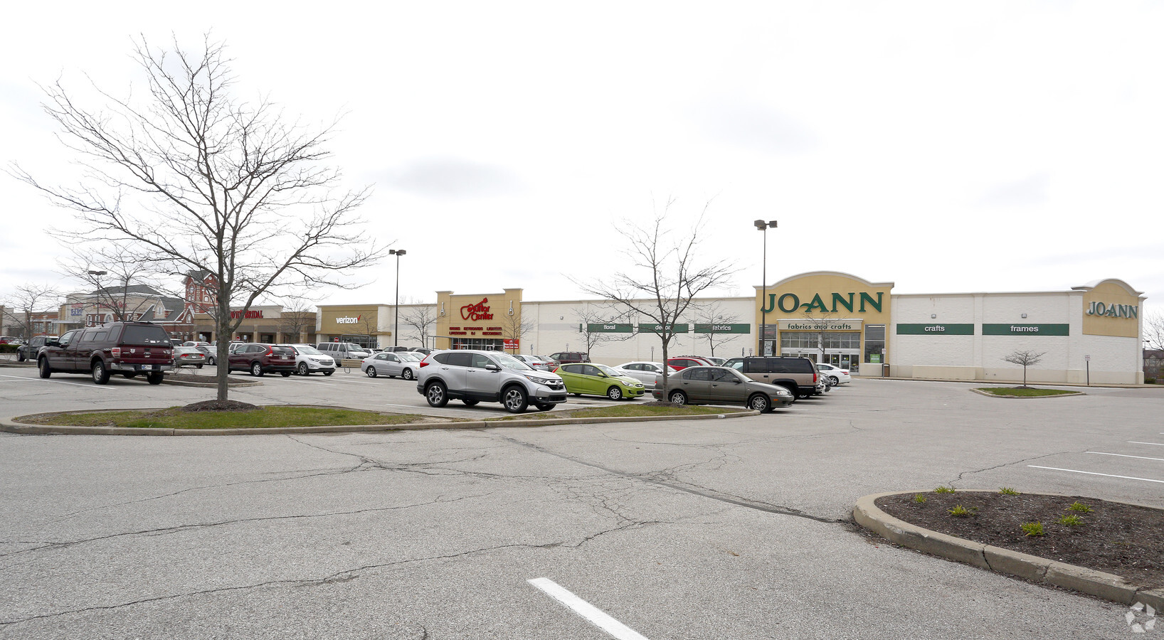
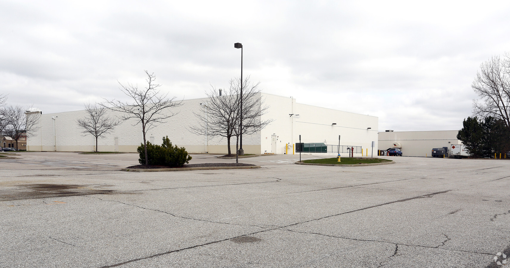
Property Record
1230 Us Highway 31 N, Greenwood, IN 46142
NEARBY LISTINGS FOR SALE OR LEASE
Property Detail
1230 Us Highway 31 N
41-02-30-013-007.000-026
PT NE 1/4 S30 T14 R4
Storebuilding
Johnson
X
Indiana
18081C0019E
8.62 AC
2023
Greenwood
2024
Indianapolis
610401
Indianapolis-Carmel-Anderson, IN
3,168 SF
DEMOGRAPHICS near 1230 Us Highway 31 N
1 Mile
3 Mile
5 Mile
2024 Total Population
12,446
88,720
201,269
2029 Population
12,918
90,760
205,254
Pop Growth 2024-2029
+ 3.79%
+ 2.30%
+ 1.98%
Average Age
40
39
38
2024 Total Households
5,680
35,876
77,361
HH Growth 2024-2029
+ 3.79%
+ 2.50%
+ 1.99%
Median Household Inc
$54,383
$65,581
$73,353
Avg Household Size
2.10
2.40
2.50
2024 Avg HH Vehicles
2.00
2.00
2.00
Median Home Value
$210,032
$197,094
$215,125
Median Year Built
1975
1981
1988
Nearby Places
- Restaurants
- Banks
- Shops
- Fitness
- Groceries
PUBLIC TRANSPORTATION
COMMUTER RAIL
Indianapolis (Cardinal - Amtrak)
DRIVE
WALK
Distance
Indianapolis (Cardinal - Amtrak)
16 min
9.8 mi
AIRPORT
Indianapolis International
DRIVE
WALK
Distance
Indianapolis International
33 min
19.5 mi
Freight Ports
Port of Toledo
DRIVE
WALK
Distance
Port of Toledo
284 min
236.1 mi
Nearby Properties
Address
Land Use
TOTAL SIZE
Lot Size
Zoning
Address
Land Use
TOTAL SIZE
Lot Size
Zoning
31,217 SF
105.06 AC
ZO01
Address
Land Use
TOTAL SIZE
Lot Size
Zoning
295,161 SF
70.54 AC
Address
Land Use
TOTAL SIZE
Lot Size
Zoning
816,376 SF
65.10 AC
Address
Land Use
TOTAL SIZE
Lot Size
Zoning
6,786 SF
45.81 AC
Address
Land Use
TOTAL SIZE
Lot Size
Zoning
56,520 SF
35.65 AC
Address
Land Use
TOTAL SIZE
Lot Size
Zoning
3,346 SF
21.35 AC
Address
Land Use
TOTAL SIZE
Lot Size
Zoning
3,286 SF
26.39 AC
Address
Land Use
TOTAL SIZE
Lot Size
Zoning
5,576 SF
14.15 AC
ZO01
Address
Land Use
TOTAL SIZE
Lot Size
Zoning
81,996 SF
8.56 AC
Address
Land Use
TOTAL SIZE
Lot Size
Zoning
23,040 SF
9.28 AC
ZO01
Address
Land Use
TOTAL SIZE
Lot Size
Zoning
4,476 SF
12.18 AC
Address
Land Use
TOTAL SIZE
Lot Size
Zoning
39,866 SF
19.99 AC
Address
Land Use
TOTAL SIZE
Lot Size
Zoning
21,784 SF
30.75 AC
ZO01
Address
Land Use
TOTAL SIZE
Lot Size
Zoning
181,458 SF
6 AC
Address
Land Use
TOTAL SIZE
Lot Size
Zoning
13,896 SF
20.98 AC
Address
Land Use
TOTAL SIZE
Lot Size
Zoning
4,027 SF
24.71 AC
Address
Land Use
TOTAL SIZE
Lot Size
Zoning
1,102 SF
9.98 AC
Address
Land Use
TOTAL SIZE
Lot Size
Zoning
226,129 SF
18.69 AC
ZO01
Address
Land Use
TOTAL SIZE
Lot Size
Zoning
2,911 SF
24.62 AC
ZO01
Address
Land Use
TOTAL SIZE
Lot Size
Zoning
5,665 SF
25.25 AC
ZO01
Address
Land Use
TOTAL SIZE
Lot Size
Zoning
2,480 SF
14.45 AC
Address
Land Use
TOTAL SIZE
Lot Size
Zoning
155,088 SF
20.85 AC
ZO01
Address
Land Use
TOTAL SIZE
Lot Size
Zoning
33,790 SF
13.01 AC
Address
Land Use
TOTAL SIZE
Lot Size
Zoning
9,704 SF
9.17 AC
Address
Land Use
TOTAL SIZE
Lot Size
Zoning
11,546 SF
14.18 AC
Address
Land Use
TOTAL SIZE
Lot Size
Zoning
3,202 SF
18.62 AC
ZO01
Address
Land Use
TOTAL SIZE
Lot Size
Zoning
1,960 SF
23.76 AC
Address
Land Use
TOTAL SIZE
Lot Size
Zoning
3,701 SF
26 AC
ZO01
Address
Land Use
TOTAL SIZE
Lot Size
Zoning
3,793 SF
23.47 AC
ZO01
Address
Land Use
TOTAL SIZE
Lot Size
Zoning
3,782 SF
44.43 AC
ZO01
The World's #1 Commercial Real Estate Marketplace
Connect with us
© 2025 CoStar Group
The information above has been obtained from sources believed reliable. While we do not doubt its accuracy we have not verified it and make no guarantee, warranty or representation about it. It is your responsibility to independently confirm its accuracy and completeness. Any projections, opinions, assumptions, or estimates used are for example only and do not represent the current or future performance of the property. The value of this transaction to you depends on tax and other factors which should be evaluated by your tax, financial, and legal advisors. You and your advisors should conduct a careful, independent investigation of the property to determine to your satisfaction the suitability of the property for your needs.