Property Record
12300 Route 1 Hwy, Chester, VA 23831
NEARBY LISTINGS FOR SALE OR LEASE
-
-
View all Chester listings for sale on LoopNet.com
Property Detail
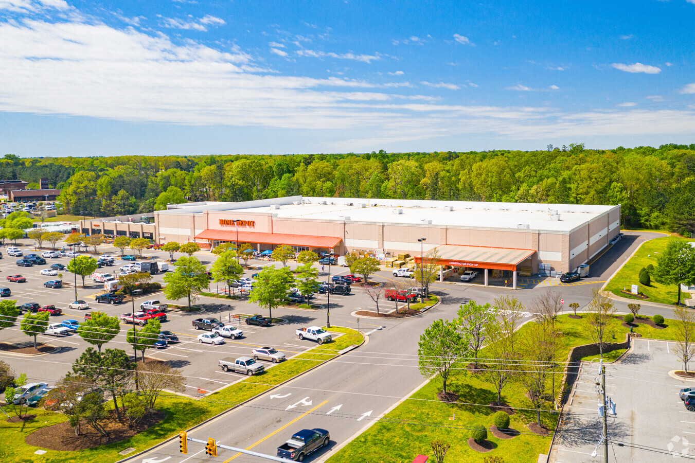
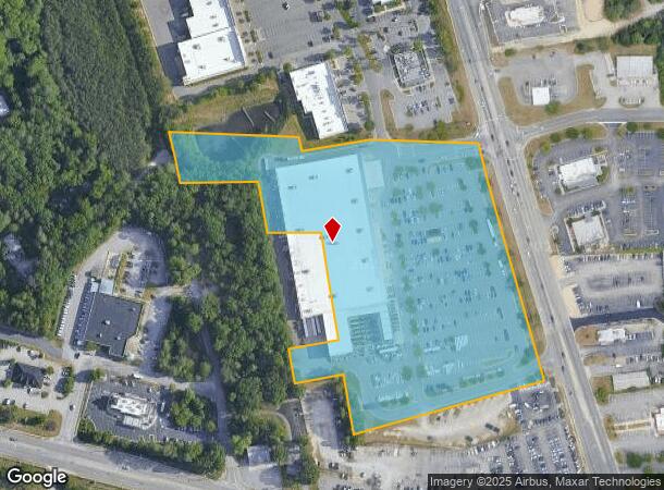
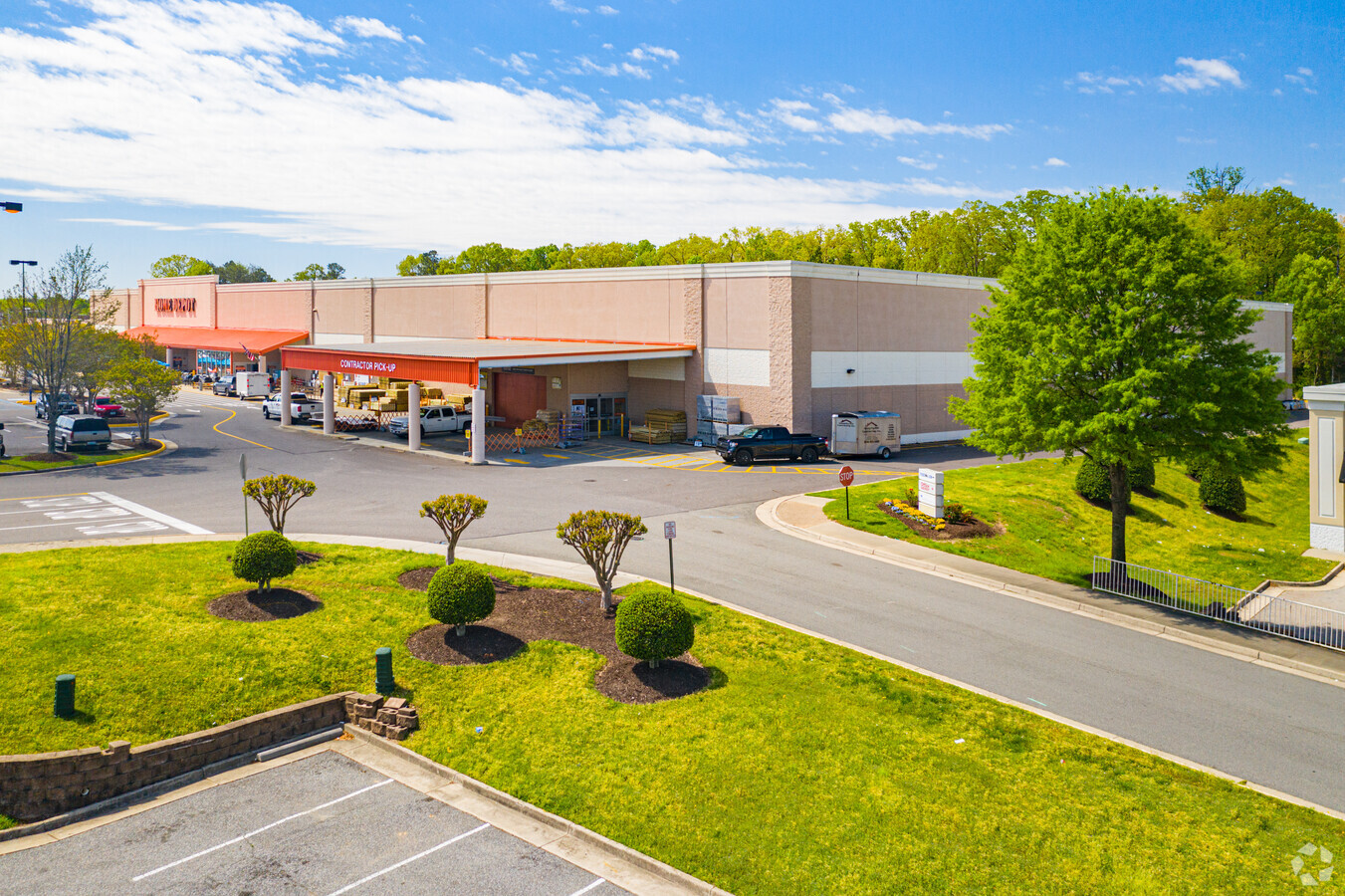
12300 Route 1 Hwy
798-65-51-25-300-000
W/L Jefferson Davis Hwy
Commercialnec
W/L JEFFERSON DAVIS HWY
X
Chesterfield
51041C0335E
Virginia
2024
12.96 AC
2024
South Chesterfield
100409
Richmond VA
107,500 SF
Richmond, VA
DEMOGRAPHICS near 12300 Route 1 Hwy
1 Mile
3 Mile
5 Mile
2024 Total Population
4,236
35,524
81,544
2029 Population
4,648
38,855
89,227
Pop Growth 2024-2029
+ 9.73%
+ 9.38%
+ 9.42%
Average Age
40
39
40
2024 Total Households
1,753
13,526
30,691
HH Growth 2024-2029
+ 10.04%
+ 9.56%
+ 9.58%
Median Household Inc
$70,347
$73,331
$77,660
Avg Household Size
2.40
2.60
2.60
2024 Avg HH Vehicles
2.00
2.00
2.00
Median Home Value
$245,680
$273,833
$274,278
Median Year Built
1982
1991
1991
Nearby Places
- Restaurants
- Banks
- Shops
- Fitness
- Groceries
PUBLIC TRANSPORTATION
COMMUTER RAIL
Petersburg Amtrak Station (Carolinian - Amtrak, Northeast Regional - Amtrak, Palmetto - Amtrak, Silver Meteor - Amtrak, Silver Star - Amtrak)
DRIVE
WALK
Distance
Petersburg Amtrak Station (Carolinian - Amtrak, Northeast Regional - Amtrak, Palmetto - Amtrak, Silver Meteor - Amtrak, Silver Star - Amtrak)
16 min
9.4 mi
AIRPORT
Richmond International
DRIVE
WALK
Distance
Richmond International
28 min
17.5 mi
Freight Ports
Virginia Port Authority - Richmond
DRIVE
WALK
Distance
Virginia Port Authority - Richmond
17 min
9.8 mi
Nearby Properties
Address
Land Use
TOTAL SIZE
Lot Size
Zoning
Address
Land Use
TOTAL SIZE
Lot Size
Zoning
437,024 SF
39.40 AC
I3 - HVY I
Address
Land Use
TOTAL SIZE
Lot Size
Zoning
32,947 SF
13.38 AC
C5 - GEN B
Address
Land Use
TOTAL SIZE
Lot Size
Zoning
1.60 AC
RMF - RES,
Address
Land Use
TOTAL SIZE
Lot Size
Zoning
289,964 SF
39.62 AC
R7 - SINGL
Address
Land Use
TOTAL SIZE
Lot Size
Zoning
100 SF
22.88 AC
RMF - RES,
Address
Land Use
TOTAL SIZE
Lot Size
Zoning
177,908 SF
13.59 AC
RMF - RES,
Address
Land Use
TOTAL SIZE
Lot Size
Zoning
116,527 SF
25.57 AC
RMF - RES,
Address
Land Use
TOTAL SIZE
Lot Size
Zoning
100 SF
25.80 AC
R7 - SINGL
Address
Land Use
TOTAL SIZE
Lot Size
Zoning
55,952 SF
11.82 AC
C3 - COMMU
Address
Land Use
TOTAL SIZE
Lot Size
Zoning
67,060 SF
4.93 AC
C5 - GEN B
Address
Land Use
TOTAL SIZE
Lot Size
Zoning
70,882 SF
20.08 AC
C3 - COMMU
Address
Land Use
TOTAL SIZE
Lot Size
Zoning
3,946 SF
17.72 AC
R15 - SING
Address
Land Use
TOTAL SIZE
Lot Size
Zoning
11,200 SF
29.94 AC
C3 - COMMU
Address
Land Use
TOTAL SIZE
Lot Size
Zoning
194,000 SF
175.54 AC
I1 - LT IN
Address
Land Use
TOTAL SIZE
Lot Size
Zoning
69,048 SF
16 AC
R7 - SINGL
Address
Land Use
TOTAL SIZE
Lot Size
Zoning
29,808 SF
5.63 AC
C3 - COMMU
Address
Land Use
TOTAL SIZE
Lot Size
Zoning
187,980 SF
15.31 AC
I1 - LT IN
Address
Land Use
TOTAL SIZE
Lot Size
Zoning
78,429 SF
23.53 AC
RMF - RES,
Address
Land Use
TOTAL SIZE
Lot Size
Zoning
17,648 SF
101.57 AC
I2 - GEN I
Address
Land Use
TOTAL SIZE
Lot Size
Zoning
15,600 SF
3.97 AC
C3 - COMMU
Address
Land Use
TOTAL SIZE
Lot Size
Zoning
92,905 SF
49.45 AC
A - AGRICU
Address
Land Use
TOTAL SIZE
Lot Size
Zoning
318,611 SF
24.17 AC
I3 - HVY I
Address
Land Use
TOTAL SIZE
Lot Size
Zoning
13,567 SF
17.96 AC
C5 - GEN B
Address
Land Use
TOTAL SIZE
Lot Size
Zoning
53,655 SF
19.01 AC
C3 - COMMU
Address
Land Use
TOTAL SIZE
Lot Size
Zoning
147,276 SF
27.04 AC
R7 - SINGL
Address
Land Use
TOTAL SIZE
Lot Size
Zoning
12.69 AC
R7 - SINGL
Address
Land Use
TOTAL SIZE
Lot Size
Zoning
324,530 SF
31.47 AC
I3 - HVY I
Address
Land Use
TOTAL SIZE
Lot Size
Zoning
0.01 AC
MH1 - MOBI
Address
Land Use
TOTAL SIZE
Lot Size
Zoning
0.01 AC
MH1 - MOBI
Address
Land Use
TOTAL SIZE
Lot Size
Zoning
73,969 SF
27.42 AC
A - AGRICU
The World's #1 Commercial Real Estate Marketplace
Connect with us
© 2025 CoStar Group
The information above has been obtained from sources believed reliable. While we do not doubt its accuracy we have not verified it and make no guarantee, warranty or representation about it. It is your responsibility to independently confirm its accuracy and completeness. Any projections, opinions, assumptions, or estimates used are for example only and do not represent the current or future performance of the property. The value of this transaction to you depends on tax and other factors which should be evaluated by your tax, financial, and legal advisors. You and your advisors should conduct a careful, independent investigation of the property to determine to your satisfaction the suitability of the property for your needs.