Property Record
12305 Highway 72 N, Loudon, TN 37774
NEARBY LISTINGS FOR SALE OR LEASE
Property Detail
12305 Highway 72 N
Knoxville, TN
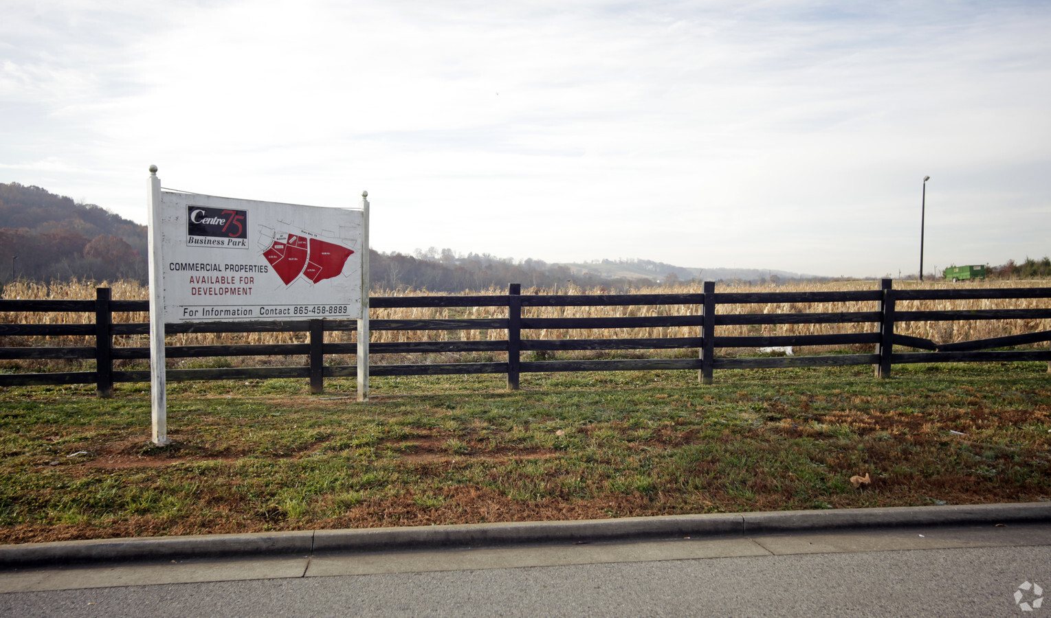
Centre 75
040-105.01
CENTRE 75 PB: F PG: 12 LOT: 4 01 043 043 02614 000
Countyproperty
Loudon
X
Tennessee
47145C0335F
4
0
1.67 AC
2024
Loudon County
060503
Knoxville
DEMOGRAPHICS near 12305 Highway 72 N
1 Mile
3 Mile
5 Mile
2024 Total Population
807
6,774
13,899
2029 Population
950
7,775
15,820
Pop Growth 2024-2029
+ 17.72%
+ 14.78%
+ 13.82%
Average Age
43
41
42
2024 Total Households
313
2,651
5,435
HH Growth 2024-2029
+ 17.57%
+ 14.49%
+ 13.60%
Median Household Inc
$60,294
$53,784
$56,676
Avg Household Size
2.50
2.50
2.50
2024 Avg HH Vehicles
2.00
2.00
2.00
Median Home Value
$295,555
$188,335
$197,568
Median Year Built
2001
1980
1982
Nearby Places
- Restaurants
- Banks
- Shops
- Fitness
- Groceries
PUBLIC TRANSPORTATION
AIRPORT
McGhee Tyson
DRIVE
WALK
Distance
McGhee Tyson
43 min
34.2 mi
Freight Ports
Georgia Ports - Savannah
DRIVE
WALK
Distance
Georgia Ports - Savannah
477 min
417.9 mi
SALE & LEASE HISTORY
LISTING DATE
SALE/LEASE

Sep 24, 2016
For Sale
Mar 06, 2017
For Sale
Nearby Properties
Address
Land Use
TOTAL SIZE
Lot Size
Zoning
Address
Land Use
TOTAL SIZE
Lot Size
Zoning
333,681 SF
108.62 AC
M1
Address
Land Use
TOTAL SIZE
Lot Size
Zoning
825,262 SF
222.46 AC
M2
Address
Land Use
TOTAL SIZE
Lot Size
Zoning
195,966 SF
27.67 AC
M1
Address
Land Use
TOTAL SIZE
Lot Size
Zoning
39,704 SF
8.54 AC
R1S
Address
Land Use
TOTAL SIZE
Lot Size
Zoning
573,236 SF
44.70 AC
M2
Address
Land Use
TOTAL SIZE
Lot Size
Zoning
195,274 SF
17.17 AC
M1
Address
Land Use
TOTAL SIZE
Lot Size
Zoning
26,607 SF
14.77 AC
M1
Address
Land Use
TOTAL SIZE
Lot Size
Zoning
70,204 SF
7.98 AC
C2
Address
Land Use
TOTAL SIZE
Lot Size
Zoning
26,600 SF
3.29 AC
R2
Address
Land Use
TOTAL SIZE
Lot Size
Zoning
157,920 SF
16.05 AC
M1
Address
Land Use
TOTAL SIZE
Lot Size
Zoning
131.15 AC
R1
Address
Land Use
TOTAL SIZE
Lot Size
Zoning
175,000 SF
20.23 AC
M1
Address
Land Use
TOTAL SIZE
Lot Size
Zoning
22,750 SF
0.54 AC
P1
Address
Land Use
TOTAL SIZE
Lot Size
Zoning
20,472 SF
1.57 AC
R2
Address
Land Use
TOTAL SIZE
Lot Size
Zoning
20,260 SF
0.62 AC
C1
Address
Land Use
TOTAL SIZE
Lot Size
Zoning
130,424 SF
16.17 AC
M1
Address
Land Use
TOTAL SIZE
Lot Size
Zoning
95,510 SF
15.67 AC
C2 R2
Address
Land Use
TOTAL SIZE
Lot Size
Zoning
305,368 SF
173.47 AC
M2
Address
Land Use
TOTAL SIZE
Lot Size
Zoning
16,284 SF
1 AC
R2
Address
Land Use
TOTAL SIZE
Lot Size
Zoning
8,138 SF
1.01 AC
C2
Address
Land Use
TOTAL SIZE
Lot Size
Zoning
12,696 SF
7.93 AC
A1
Address
Land Use
TOTAL SIZE
Lot Size
Zoning
165,000 SF
10.40 AC
M1
Address
Land Use
TOTAL SIZE
Lot Size
Zoning
48,025 SF
5.53 AC
C2
Address
Land Use
TOTAL SIZE
Lot Size
Zoning
103,278 SF
14.16 AC
R2
Address
Land Use
TOTAL SIZE
Lot Size
Zoning
104,064 SF
8.10 AC
M1
Address
Land Use
TOTAL SIZE
Lot Size
Zoning
39,930 SF
3.50 AC
C4
Address
Land Use
TOTAL SIZE
Lot Size
Zoning
2,768 SF
1.16 AC
C2
Address
Land Use
TOTAL SIZE
Lot Size
Zoning
103,000 SF
8 AC
M1
Address
Land Use
TOTAL SIZE
Lot Size
Zoning
7,200 SF
4.50 AC
A2/RE
Address
Land Use
TOTAL SIZE
Lot Size
Zoning
62,657 SF
8.32 AC
M1
The World's #1 Commercial Real Estate Marketplace
Connect with us
© 2025 CoStar Group
The information above has been obtained from sources believed reliable. While we do not doubt its accuracy we have not verified it and make no guarantee, warranty or representation about it. It is your responsibility to independently confirm its accuracy and completeness. Any projections, opinions, assumptions, or estimates used are for example only and do not represent the current or future performance of the property. The value of this transaction to you depends on tax and other factors which should be evaluated by your tax, financial, and legal advisors. You and your advisors should conduct a careful, independent investigation of the property to determine to your satisfaction the suitability of the property for your needs.