Property Record
1232 N Galleria Dr, Nampa, ID 83687
NEARBY LISTINGS FOR SALE OR LEASE
Property Detail
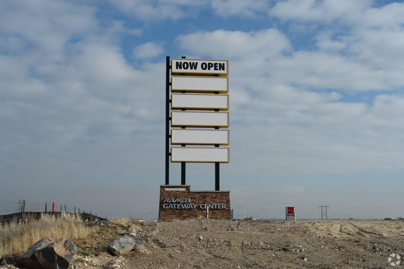
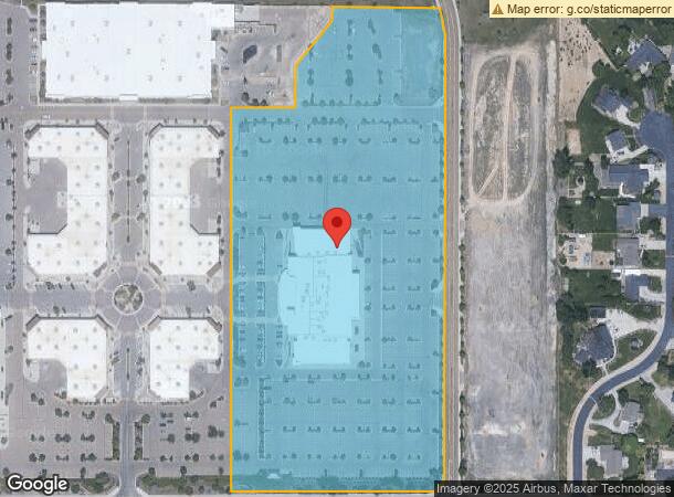
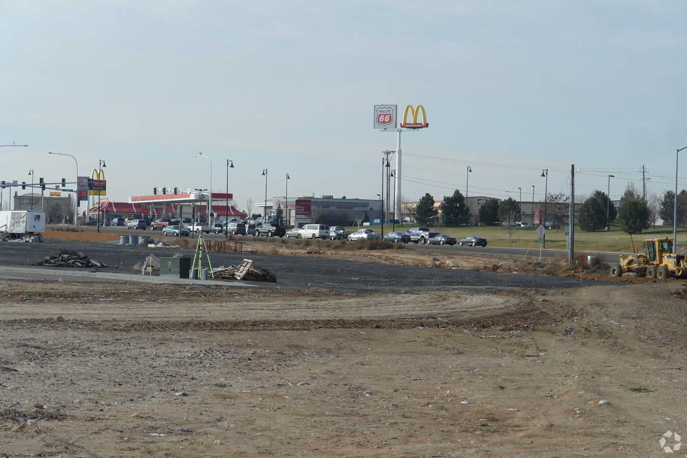
1232 N Galleria Dr
Boise City, ID
18-3N-1W SW TX 22507 IN GOVT LT 3
3049800000
Canyon
Commercialnec
Idaho
X
3
16027C0382F
14.46 AC
2023
Nampa
2024
Boise City/Nampa
020700
DEMOGRAPHICS near 1232 N Galleria Dr
1 Mile
3 Mile
5 Mile
2024 Total Population
3,494
36,389
129,101
2029 Population
4,191
44,384
155,306
Pop Growth 2024-2029
+ 19.95%
+ 21.97%
+ 20.30%
Average Age
37
36
37
2024 Total Households
1,269
12,639
45,564
HH Growth 2024-2029
+ 20.17%
+ 22.28%
+ 20.59%
Median Household Inc
$44,136
$56,762
$65,538
Avg Household Size
2.70
2.80
2.70
2024 Avg HH Vehicles
2.00
2.00
2.00
Median Home Value
$293,257
$354,304
$361,432
Median Year Built
1993
1996
1996
Nearby Places
- Restaurants
- Banks
- Shops
- Fitness
- Groceries
PUBLIC TRANSPORTATION
AIRPORT
Boise Air Trml/Gowen Field
DRIVE
WALK
Distance
Boise Air Trml/Gowen Field
37 min
20.7 mi
Freight Ports
Port of Portland
DRIVE
WALK
Distance
Port of Portland
461 min
417.7 mi
SALE & LEASE HISTORY
LISTING DATE
SALE/LEASE

Sep 25, 2016
For Lease
Nearby Properties
Address
Land Use
TOTAL SIZE
Lot Size
Zoning
Address
Land Use
TOTAL SIZE
Lot Size
Zoning
61.03 AC
Address
Land Use
TOTAL SIZE
Lot Size
Zoning
52,235 SF
16.19 AC
Address
Land Use
TOTAL SIZE
Lot Size
Zoning
345,974 SF
40.28 AC
Address
Land Use
TOTAL SIZE
Lot Size
Zoning
33.22 AC
Address
Land Use
TOTAL SIZE
Lot Size
Zoning
28.03 AC
Address
Land Use
TOTAL SIZE
Lot Size
Zoning
239,139 SF
38.34 AC
Address
Land Use
TOTAL SIZE
Lot Size
Zoning
40.34 AC
Address
Land Use
TOTAL SIZE
Lot Size
Zoning
908 SF
48.85 AC
Address
Land Use
TOTAL SIZE
Lot Size
Zoning
11.74 AC
Address
Land Use
TOTAL SIZE
Lot Size
Zoning
2,222 SF
12.28 AC
Address
Land Use
TOTAL SIZE
Lot Size
Zoning
1,800 SF
103.28 AC
Address
Land Use
TOTAL SIZE
Lot Size
Zoning
28.05 AC
Address
Land Use
TOTAL SIZE
Lot Size
Zoning
207,171 SF
11.93 AC
Address
Land Use
TOTAL SIZE
Lot Size
Zoning
149.04 AC
Address
Land Use
TOTAL SIZE
Lot Size
Zoning
219,520 SF
26.72 AC
Address
Land Use
TOTAL SIZE
Lot Size
Zoning
244,100 SF
13.64 AC
Address
Land Use
TOTAL SIZE
Lot Size
Zoning
8.34 AC
Address
Land Use
TOTAL SIZE
Lot Size
Zoning
95.54 AC
Address
Land Use
TOTAL SIZE
Lot Size
Zoning
136,249 SF
16.36 AC
Address
Land Use
TOTAL SIZE
Lot Size
Zoning
1,696 SF
5.28 AC
Address
Land Use
TOTAL SIZE
Lot Size
Zoning
18.39 AC
Address
Land Use
TOTAL SIZE
Lot Size
Zoning
212,196 SF
24.14 AC
Address
Land Use
TOTAL SIZE
Lot Size
Zoning
99,328 SF
6.78 AC
Address
Land Use
TOTAL SIZE
Lot Size
Zoning
189,415 SF
10 AC
Address
Land Use
TOTAL SIZE
Lot Size
Zoning
164,765 SF
21.61 AC
Address
Land Use
TOTAL SIZE
Lot Size
Zoning
20,024 SF
14.85 AC
Address
Land Use
TOTAL SIZE
Lot Size
Zoning
98,768 SF
13.49 AC
Address
Land Use
TOTAL SIZE
Lot Size
Zoning
55.24 AC
Address
Land Use
TOTAL SIZE
Lot Size
Zoning
16.19 AC
Address
Land Use
TOTAL SIZE
Lot Size
Zoning
52,336 SF
11.13 AC
The World's #1 Commercial Real Estate Marketplace
Connect with us
© 2025 CoStar Group
The information above has been obtained from sources believed reliable. While we do not doubt its accuracy we have not verified it and make no guarantee, warranty or representation about it. It is your responsibility to independently confirm its accuracy and completeness. Any projections, opinions, assumptions, or estimates used are for example only and do not represent the current or future performance of the property. The value of this transaction to you depends on tax and other factors which should be evaluated by your tax, financial, and legal advisors. You and your advisors should conduct a careful, independent investigation of the property to determine to your satisfaction the suitability of the property for your needs.