Property Record
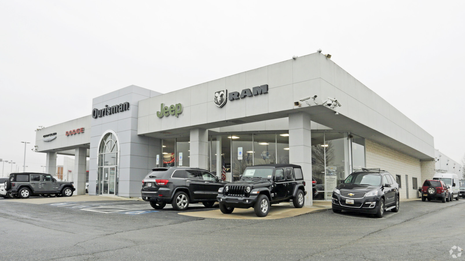
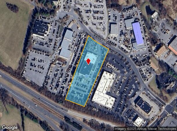
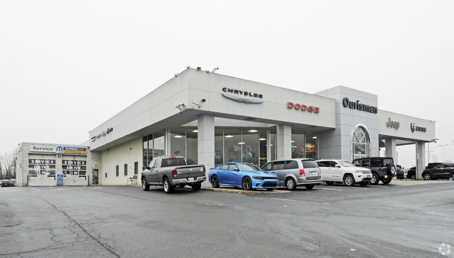
12430 Auto Dr, Clarksville, MD 21029
NEARBY LISTINGS FOR SALE OR LEASE
-
-
View all Clarksville listings for sale on LoopNet.com
Property Detail
12430 Auto Dr
Baltimore-Columbia-Towson, MD
Holweck Sub Johnston Sub
05-416302
PAR D1 3.582 A AUTO DR HOLWECK SUB JOHNSTON SUB
Autorepair
Howard
X
Maryland
24027C0130D
d 1
2024
3.58 AC
2024
Outlying Howard County
605104
Baltimore
16,975 SF
DEMOGRAPHICS near 12430 Auto Dr
1 Mile
3 Mile
5 Mile
2024 Total Population
4,660
29,363
82,956
2029 Population
4,746
30,149
85,244
Pop Growth 2024-2029
+ 1.85%
+ 2.68%
+ 2.76%
Average Age
40
41
41
2024 Total Households
1,454
10,019
30,419
HH Growth 2024-2029
+ 1.86%
+ 2.68%
+ 2.89%
Median Household Inc
$225,570
$172,131
$147,203
Avg Household Size
3.20
2.90
2.70
2024 Avg HH Vehicles
3.00
2.00
2.00
Median Home Value
$751,964
$748,051
$663,870
Median Year Built
1999
1990
1987
Nearby Places
- Restaurants
- Banks
- Shops
- Fitness
- Groceries
PUBLIC TRANSPORTATION
AIRPORT
Baltimore/Washington International Thurgood Marshall
DRIVE
WALK
Distance
Baltimore/Washington International Thurgood Marshall
29 min
20.6 mi
Ronald Reagan Washington Ntl
DRIVE
WALK
Distance
Ronald Reagan Washington Ntl
52 min
31.8 mi
Freight Ports
Port of Baltimore
DRIVE
WALK
Distance
Port of Baltimore
34 min
23.5 mi
Nearby Properties
Address
Land Use
TOTAL SIZE
Lot Size
Zoning
Address
Land Use
TOTAL SIZE
Lot Size
Zoning
34,368 SF
54.80 AC
PEC
Address
Land Use
TOTAL SIZE
Lot Size
Zoning
17,880 SF
11.40 AC
NT
Address
Land Use
TOTAL SIZE
Lot Size
Zoning
19,253 SF
17.97 AC
RRDEO
Address
Land Use
TOTAL SIZE
Lot Size
Zoning
23,139 SF
11 AC
NT
Address
Land Use
TOTAL SIZE
Lot Size
Zoning
24,894 SF
10.42 AC
NT
Address
Land Use
TOTAL SIZE
Lot Size
Zoning
6,968 SF
11.74 AC
NT
Address
Land Use
TOTAL SIZE
Lot Size
Zoning
23,760 SF
8.89 AC
NT
Address
Land Use
TOTAL SIZE
Lot Size
Zoning
14,478 SF
12.73 AC
NT
Address
Land Use
TOTAL SIZE
Lot Size
Zoning
27,450 SF
10.31 AC
NT
Address
Land Use
TOTAL SIZE
Lot Size
Zoning
82,960 SF
15.40 AC
NT
Address
Land Use
TOTAL SIZE
Lot Size
Zoning
35,355 SF
11.38 AC
NT
Address
Land Use
TOTAL SIZE
Lot Size
Zoning
140,191 SF
4.52 AC
NT
Address
Land Use
TOTAL SIZE
Lot Size
Zoning
49,968 SF
39.74 AC
RCDEO
Address
Land Use
TOTAL SIZE
Lot Size
Zoning
84,260 SF
9.89 AC
NT
Address
Land Use
TOTAL SIZE
Lot Size
Zoning
3,260 SF
8.78 AC
B2
Address
Land Use
TOTAL SIZE
Lot Size
Zoning
59,549 SF
10.69 AC
R20
Address
Land Use
TOTAL SIZE
Lot Size
Zoning
27,564 SF
7.60 AC
B1
Address
Land Use
TOTAL SIZE
Lot Size
Zoning
39,008 SF
7.01 AC
B2
Address
Land Use
TOTAL SIZE
Lot Size
Zoning
24,580 SF
18.39 AC
RED
Address
Land Use
TOTAL SIZE
Lot Size
Zoning
13,272 SF
3.33 AC
B2
Address
Land Use
TOTAL SIZE
Lot Size
Zoning
11,530 SF
5.89 AC
B2
Address
Land Use
TOTAL SIZE
Lot Size
Zoning
2,110 SF
5.44 AC
B1
Address
Land Use
TOTAL SIZE
Lot Size
Zoning
12,721 SF
1.29 AC
B1
Address
Land Use
TOTAL SIZE
Lot Size
Zoning
26,160 SF
1.74 AC
NT
Address
Land Use
TOTAL SIZE
Lot Size
Zoning
11,170 SF
109.57 AC
NT
Address
Land Use
TOTAL SIZE
Lot Size
Zoning
29,560 SF
3.79 AC
B2
Address
Land Use
TOTAL SIZE
Lot Size
Zoning
26,610 SF
3 AC
B2
Address
Land Use
TOTAL SIZE
Lot Size
Zoning
13.56 AC
B2PEC
Address
Land Use
TOTAL SIZE
Lot Size
Zoning
40,000 SF
3.08 AC
B2
Address
Land Use
TOTAL SIZE
Lot Size
Zoning
27,927 SF
3.42 AC
B2
The World's #1 Commercial Real Estate Marketplace
Connect with us
© 2025 CoStar Group
The information above has been obtained from sources believed reliable. While we do not doubt its accuracy we have not verified it and make no guarantee, warranty or representation about it. It is your responsibility to independently confirm its accuracy and completeness. Any projections, opinions, assumptions, or estimates used are for example only and do not represent the current or future performance of the property. The value of this transaction to you depends on tax and other factors which should be evaluated by your tax, financial, and legal advisors. You and your advisors should conduct a careful, independent investigation of the property to determine to your satisfaction the suitability of the property for your needs.