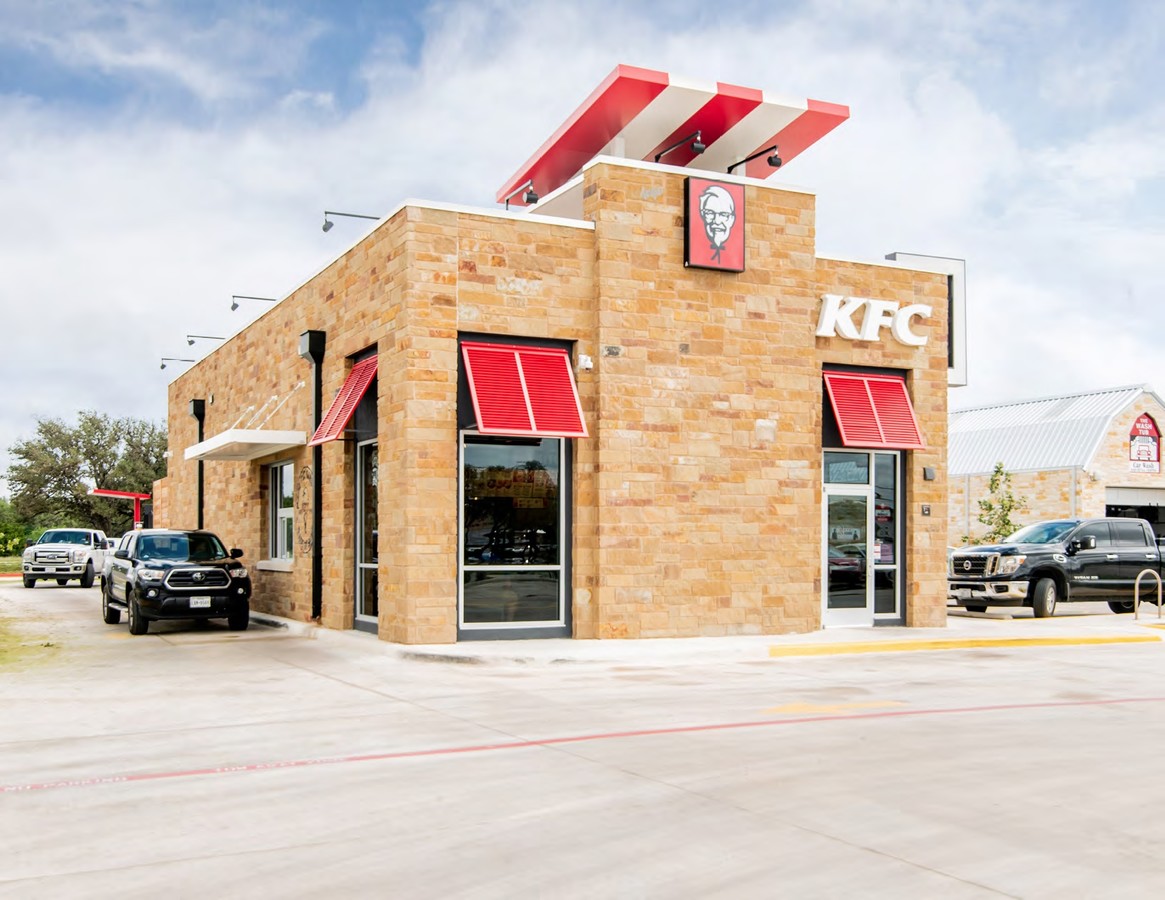
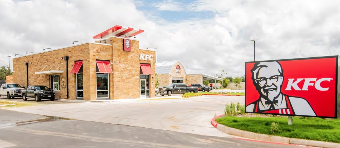
Property Record
12510 Bandera Rd, Helotes, TX 78023
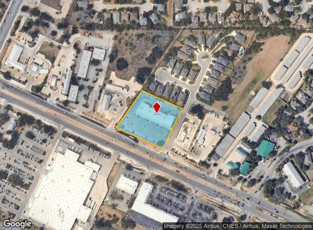
NEARBY LISTINGS FOR SALE OR LEASE
Property Detail
12510 Bandera Rd
San Antonio-New Braunfels, TX
Bandera Oaks Replat
04477-702-0081
CB 4477G BLOCK 2 LOT 8 (BANDERA OAKS) 2020 NEW PER PLAT 20001/1285 FILED 08-02-19 CR 48037. JA/GIS/11-20-2019 2018-NEW ACCT CREATED PER PLAT 9723/124-128 FILED 11-8-17. LR/GIS/11-17-17.
Regionalshoppingcenterormallwithanchorstore
Bexar
X
Texas
48029C0210G
8
2023
2.18 AC
2023
Far Northwest
182001
San Antonio
17,600 SF
DEMOGRAPHICS near 12510 Bandera Rd
1 Mile
3 Mile
5 Mile
2024 Total Population
5,313
79,199
220,110
2029 Population
5,540
83,569
234,144
Pop Growth 2024-2029
+ 4.27%
+ 5.52%
+ 6.38%
Average Age
39
37
36
2024 Total Households
1,970
27,475
78,036
HH Growth 2024-2029
+ 4.37%
+ 5.63%
+ 6.57%
Median Household Inc
$102,553
$99,751
$87,218
Avg Household Size
2.70
2.80
2.70
2024 Avg HH Vehicles
2.00
2.00
2.00
Median Home Value
$279,736
$259,114
$245,063
Median Year Built
2001
1999
1999
Nearby Places
- Restaurants
- Banks
- Shops
- Fitness
- Groceries
PUBLIC TRANSPORTATION
AIRPORT
San Antonio International
DRIVE
WALK
Distance
San Antonio International
25 min
16.8 mi
Freight Ports
Calhoun Port
DRIVE
WALK
Distance
Calhoun Port
203 min
169.7 mi
SALE & LEASE HISTORY
LISTING DATE
SALE/LEASE

Oct 01, 2018
For Sale
Nearby Properties
Address
Land Use
TOTAL SIZE
Lot Size
Zoning
Address
Land Use
TOTAL SIZE
Lot Size
Zoning
305,600 SF
30.64 AC
Address
Land Use
TOTAL SIZE
Lot Size
Zoning
481,373 SF
44.28 AC
Address
Land Use
TOTAL SIZE
Lot Size
Zoning
220,719 SF
25.86 AC
Address
Land Use
TOTAL SIZE
Lot Size
Zoning
217,267 SF
17.63 AC
Address
Land Use
TOTAL SIZE
Lot Size
Zoning
307,272 SF
24.14 AC
Address
Land Use
TOTAL SIZE
Lot Size
Zoning
229,430 SF
11.92 AC
Address
Land Use
TOTAL SIZE
Lot Size
Zoning
255,890 SF
14.23 AC
Address
Land Use
TOTAL SIZE
Lot Size
Zoning
289,158 SF
31.78 AC
Address
Land Use
TOTAL SIZE
Lot Size
Zoning
226,859 SF
37.47 AC
Address
Land Use
TOTAL SIZE
Lot Size
Zoning
191,361 SF
15.02 AC
Address
Land Use
TOTAL SIZE
Lot Size
Zoning
185,896 SF
26.12 AC
Address
Land Use
TOTAL SIZE
Lot Size
Zoning
232,610 SF
13.16 AC
Address
Land Use
TOTAL SIZE
Lot Size
Zoning
193,004 SF
16.43 AC
Address
Land Use
TOTAL SIZE
Lot Size
Zoning
176,718 SF
4.62 AC
Address
Land Use
TOTAL SIZE
Lot Size
Zoning
228,364 SF
16.14 AC
Address
Land Use
TOTAL SIZE
Lot Size
Zoning
246,381 SF
10.56 AC
Address
Land Use
TOTAL SIZE
Lot Size
Zoning
149,500 SF
9.36 AC
Address
Land Use
TOTAL SIZE
Lot Size
Zoning
194,289 SF
13.32 AC
Address
Land Use
TOTAL SIZE
Lot Size
Zoning
413,362 SF
33.77 AC
Address
Land Use
TOTAL SIZE
Lot Size
Zoning
248,352 SF
14.72 AC
Address
Land Use
TOTAL SIZE
Lot Size
Zoning
169,822 SF
7 AC
Address
Land Use
TOTAL SIZE
Lot Size
Zoning
74,514 SF
15.57 AC
Address
Land Use
TOTAL SIZE
Lot Size
Zoning
61,437 SF
7.64 AC
Address
Land Use
TOTAL SIZE
Lot Size
Zoning
157,714 SF
16.22 AC
Address
Land Use
TOTAL SIZE
Lot Size
Zoning
36,384 SF
2.79 AC
Address
Land Use
TOTAL SIZE
Lot Size
Zoning
27,712 SF
11.48 AC
Address
Land Use
TOTAL SIZE
Lot Size
Zoning
103,616 SF
5.94 AC
Address
Land Use
TOTAL SIZE
Lot Size
Zoning
172,517 SF
13.95 AC
Address
Land Use
TOTAL SIZE
Lot Size
Zoning
52,631 SF
5.54 AC
Address
Land Use
TOTAL SIZE
Lot Size
Zoning
50,105 SF
5.40 AC
The World's #1 Commercial Real Estate Marketplace
Connect with us
© 2025 CoStar Group
The information above has been obtained from sources believed reliable. While we do not doubt its accuracy we have not verified it and make no guarantee, warranty or representation about it. It is your responsibility to independently confirm its accuracy and completeness. Any projections, opinions, assumptions, or estimates used are for example only and do not represent the current or future performance of the property. The value of this transaction to you depends on tax and other factors which should be evaluated by your tax, financial, and legal advisors. You and your advisors should conduct a careful, independent investigation of the property to determine to your satisfaction the suitability of the property for your needs.