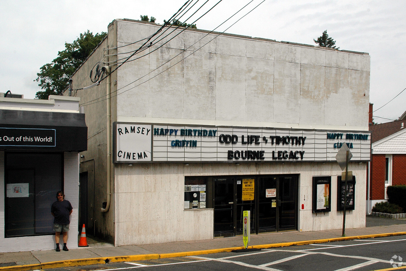
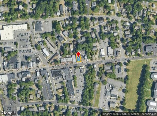
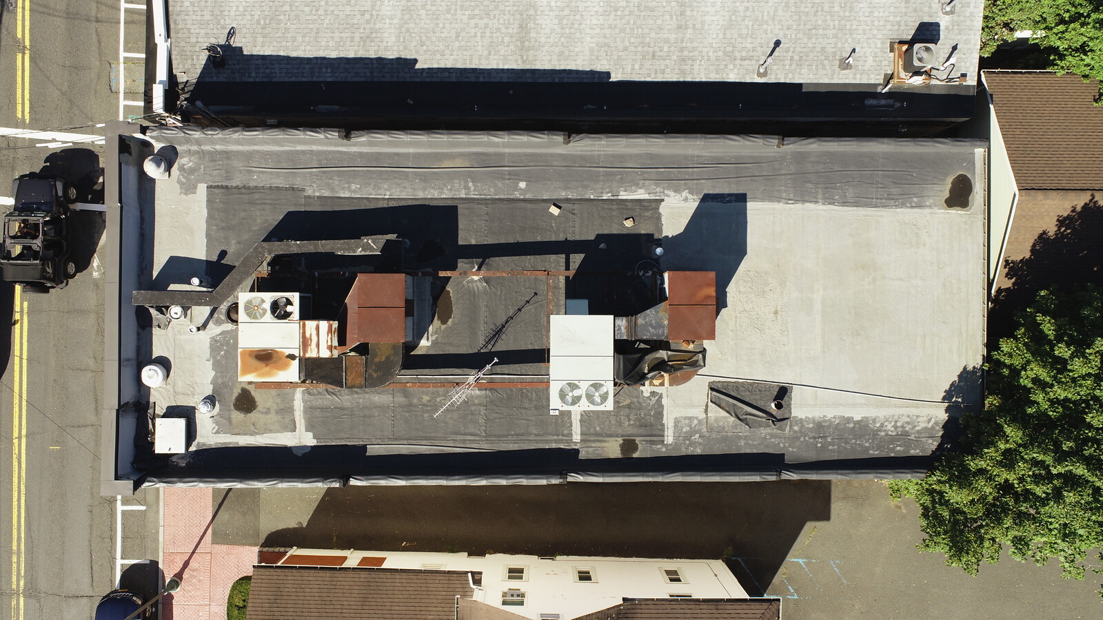
Property Record
125 E Main St, Ramsey, NJ 07446

NEARBY LISTINGS FOR SALE OR LEASE
Property Detail
125 E Main St
New York-Jersey City-White Plains, NY-NJ
0.083AC
48-04811-0000-00020
Bergen
Commercialnec
New Jersey
X
20
34003C0067H
0.08 AC
2023
North 17 Corridor
2024
Northern New Jersey
044202
DEMOGRAPHICS near 125 E Main St
1 Mile
3 Mile
5 Mile
2024 Total Population
9,535
59,032
163,387
2029 Population
9,510
59,210
163,375
Pop Growth 2024-2029
(0.26%)
+ 0.30%
(0.01%)
Average Age
42
43
41
2024 Total Households
3,471
21,970
55,878
HH Growth 2024-2029
(0.32%)
+ 0.20%
(0.04%)
Median Household Inc
$147,384
$138,136
$133,842
Avg Household Size
2.70
2.60
2.80
2024 Avg HH Vehicles
2.00
2.00
2.00
Median Home Value
$714,856
$721,530
$701,864
Median Year Built
1967
1978
1969
Nearby Places
- Restaurants
- Banks
- Shops
- Fitness
- Groceries
PUBLIC TRANSPORTATION
COMMUTER RAIL
Ramsey (Bergen County/Port Jervis Line - NJ Transit Commuter Rail (NJ Transit), Main/Port Jervis Line - NJ Transit Commuter Rail (NJ Transit))
DRIVE
WALK
Distance
Ramsey (Bergen County/Port Jervis Line - NJ Transit Commuter Rail (NJ Transit), Main/Port Jervis Line - NJ Transit Commuter Rail (NJ Transit))
1 min
5 min
0.3 mi
Ramsey Route 17 (Bergen County/Port Jervis Line - NJ Transit Commuter Rail (NJ Transit), Main/Port Jervis Line - NJ Transit Commuter Rail (NJ Transit))
DRIVE
WALK
Distance
Ramsey Route 17 (Bergen County/Port Jervis Line - NJ Transit Commuter Rail (NJ Transit), Main/Port Jervis Line - NJ Transit Commuter Rail (NJ Transit))
4 min
1.8 mi
AIRPORT
Laguardia
DRIVE
WALK
Distance
Laguardia
46 min
30.1 mi
Newark Liberty International
DRIVE
WALK
Distance
Newark Liberty International
39 min
30.4 mi
Westchester County
DRIVE
WALK
Distance
Westchester County
49 min
36.2 mi
Freight Ports
Port Newark Container Terminal
DRIVE
WALK
Distance
Port Newark Container Terminal
46 min
32.0 mi
SALE & LEASE HISTORY
LISTING DATE
SALE/LEASE

Sep 22, 2020
For Sale
Jan 04, 2022
For Sale
Nearby Properties
Address
Land Use
TOTAL SIZE
Lot Size
Zoning
Address
Land Use
TOTAL SIZE
Lot Size
Zoning
284 AC
P40
Address
Land Use
TOTAL SIZE
Lot Size
Zoning
28.28 AC
GI80
Address
Land Use
TOTAL SIZE
Lot Size
Zoning
39.50 AC
Address
Land Use
TOTAL SIZE
Lot Size
Zoning
28.44 AC
Address
Land Use
TOTAL SIZE
Lot Size
Zoning
46.89 AC
IP120
Address
Land Use
TOTAL SIZE
Lot Size
Zoning
61.37 AC
PED
Address
Land Use
TOTAL SIZE
Lot Size
Zoning
40.40 AC
PU
Address
Land Use
TOTAL SIZE
Lot Size
Zoning
17.71 AC
B3
Address
Land Use
TOTAL SIZE
Lot Size
Zoning
38.65 AC
Address
Land Use
TOTAL SIZE
Lot Size
Zoning
20 AC
ORP200
Address
Land Use
TOTAL SIZE
Lot Size
Zoning
7.11 AC
Address
Land Use
TOTAL SIZE
Lot Size
Zoning
10.64 AC
AAA
Address
Land Use
TOTAL SIZE
Lot Size
Zoning
2.33 AC
B3
Address
Land Use
TOTAL SIZE
Lot Size
Zoning
14.09 AC
B200
Address
Land Use
TOTAL SIZE
Lot Size
Zoning
16.02 AC
R3
Address
Land Use
TOTAL SIZE
Lot Size
Zoning
124,528 SF
8.87 AC
EM
Address
Land Use
TOTAL SIZE
Lot Size
Zoning
10.38 AC
Address
Land Use
TOTAL SIZE
Lot Size
Zoning
74,278 SF
6.91 AC
C2
Address
Land Use
TOTAL SIZE
Lot Size
Zoning
99,832 SF
10.39 AC
E
Address
Land Use
TOTAL SIZE
Lot Size
Zoning
107,584 SF
9.19 AC
EM
Address
Land Use
TOTAL SIZE
Lot Size
Zoning
15.98 AC
Address
Land Use
TOTAL SIZE
Lot Size
Zoning
20.26 AC
Address
Land Use
TOTAL SIZE
Lot Size
Zoning
6.76 AC
IP120
Address
Land Use
TOTAL SIZE
Lot Size
Zoning
33.78 AC
CEDR40
Address
Land Use
TOTAL SIZE
Lot Size
Zoning
Address
Land Use
TOTAL SIZE
Lot Size
Zoning
3.85 AC
Address
Land Use
TOTAL SIZE
Lot Size
Zoning
7.05 AC
Address
Land Use
TOTAL SIZE
Lot Size
Zoning
18.50 AC
Address
Land Use
TOTAL SIZE
Lot Size
Zoning
6.52 AC
Address
Land Use
TOTAL SIZE
Lot Size
Zoning
2,254 SF
5.37 AC
I
The World's #1 Commercial Real Estate Marketplace
Connect with us
© 2025 CoStar Group
The information above has been obtained from sources believed reliable. While we do not doubt its accuracy we have not verified it and make no guarantee, warranty or representation about it. It is your responsibility to independently confirm its accuracy and completeness. Any projections, opinions, assumptions, or estimates used are for example only and do not represent the current or future performance of the property. The value of this transaction to you depends on tax and other factors which should be evaluated by your tax, financial, and legal advisors. You and your advisors should conduct a careful, independent investigation of the property to determine to your satisfaction the suitability of the property for your needs.