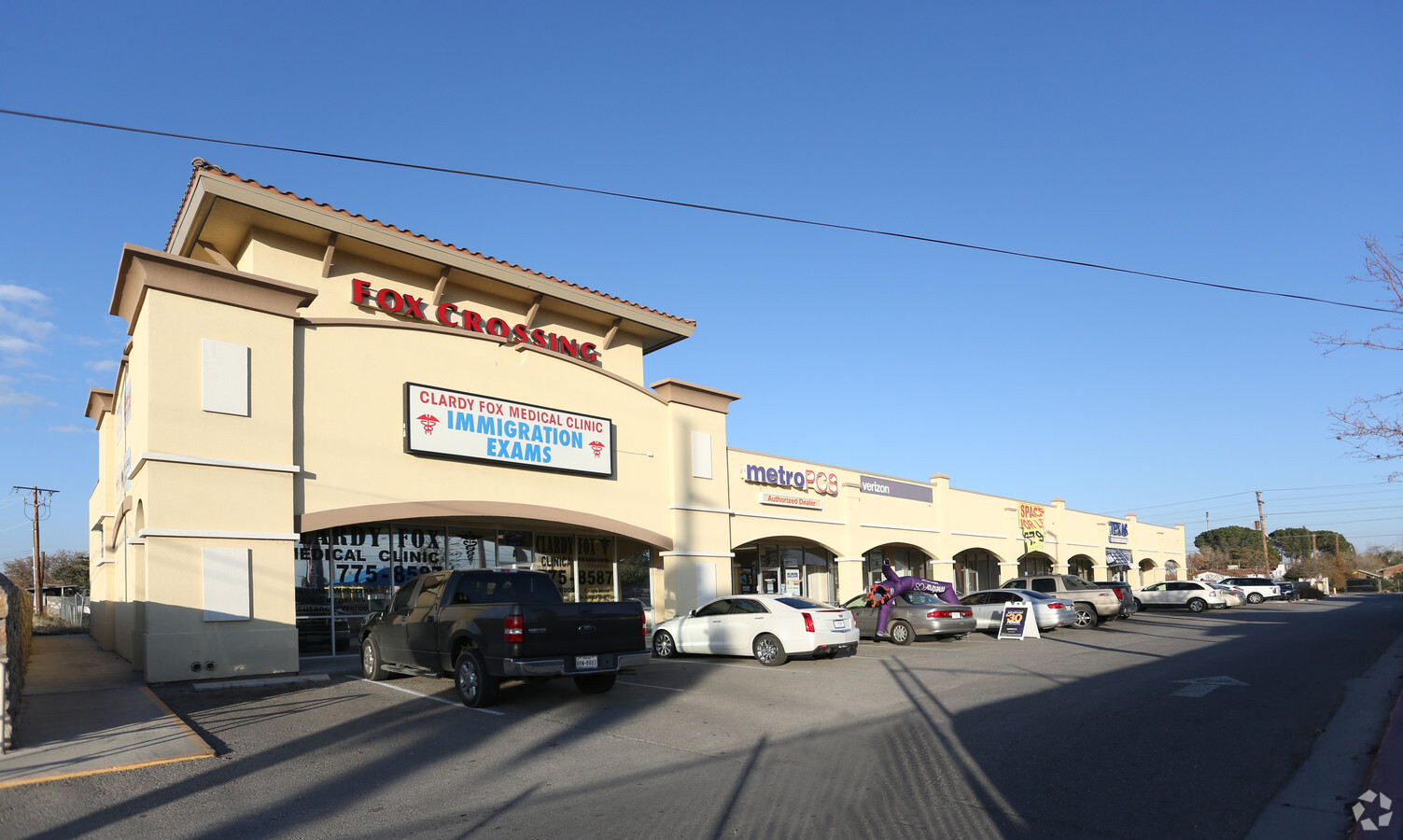
Property Record
125 N Glenwood St, El Paso, TX 79905


NEARBY LISTINGS FOR SALE OR LEASE
Property Detail
125 N Glenwood St
El Paso
Alameda Acres
El Paso, TX
3 ALAMEDA ACRES LOT 10 (43560 SQ FT)
A438-999-0030-6600
El Paso
Commercialnec
Texas
2023
10
2023
1 AC
003601
East
11,460 SF
DEMOGRAPHICS near 125 N Glenwood St
1 Mile
3 Mile
5 Mile
2024 Total Population
16,554
73,967
182,913
2029 Population
16,757
75,148
185,890
Pop Growth 2024-2029
+ 1.23%
+ 1.60%
+ 1.63%
Average Age
41
38
39
2024 Total Households
6,086
26,483
68,860
HH Growth 2024-2029
+ 1.18%
+ 1.42%
+ 1.66%
Median Household Inc
$24,640
$30,501
$34,858
Avg Household Size
2.60
2.60
2.50
2024 Avg HH Vehicles
2.00
2.00
2.00
Median Home Value
$90,492
$112,726
$133,961
Median Year Built
1958
1958
1962
Nearby Places
- Restaurants
- Banks
- Shops
- Fitness
- Groceries
PUBLIC TRANSPORTATION
AIRPORT
El Paso International
DRIVE
WALK
Distance
El Paso International
21 min
10.6 mi
Freight Ports
Port of Corpus Christi
DRIVE
WALK
Distance
Port of Corpus Christi
677 min
691.8 mi
SALE & LEASE HISTORY
LISTING DATE
SALE/LEASE

Sep 25, 2016
For Lease
Oct 12, 2016
For Lease
Feb 05, 2018
For Sale
Nearby Properties
Address
Land Use
TOTAL SIZE
Lot Size
Zoning
Address
Land Use
TOTAL SIZE
Lot Size
Zoning
75,601 SF
495.64 AC
M3
Address
Land Use
TOTAL SIZE
Lot Size
Zoning
753,996 SF
23.50 AC
C4
Address
Land Use
TOTAL SIZE
Lot Size
Zoning
237,300 SF
4.99 AC
M1
Address
Land Use
TOTAL SIZE
Lot Size
Zoning
315,094 SF
2.22 AC
M1S
Address
Land Use
TOTAL SIZE
Lot Size
Zoning
230,968 SF
10.69 AC
C4
Address
Land Use
TOTAL SIZE
Lot Size
Zoning
1 SF
214 AC
M3
Address
Land Use
TOTAL SIZE
Lot Size
Zoning
380,811 SF
22.75 AC
M1
Address
Land Use
TOTAL SIZE
Lot Size
Zoning
561,866 SF
27.25 AC
C4
Address
Land Use
TOTAL SIZE
Lot Size
Zoning
374,839 SF
33.29 AC
C3S
Address
Land Use
TOTAL SIZE
Lot Size
Zoning
107.76 AC
C4
Address
Land Use
TOTAL SIZE
Lot Size
Zoning
304,375 SF
23.17 AC
R3
Address
Land Use
TOTAL SIZE
Lot Size
Zoning
335,234 SF
31.84 AC
C4
Address
Land Use
TOTAL SIZE
Lot Size
Zoning
271,746 SF
1.93 AC
C4
Address
Land Use
TOTAL SIZE
Lot Size
Zoning
213,351 SF
12 AC
C3S
Address
Land Use
TOTAL SIZE
Lot Size
Zoning
199,227 SF
8.70 AC
C4S
Address
Land Use
TOTAL SIZE
Lot Size
Zoning
97,809 SF
20.31 AC
C3S
Address
Land Use
TOTAL SIZE
Lot Size
Zoning
142,858 SF
0.17 AC
R3H
Address
Land Use
TOTAL SIZE
Lot Size
Zoning
137,378 SF
10.04 AC
C3S
Address
Land Use
TOTAL SIZE
Lot Size
Zoning
159,241 SF
2.45 AC
C3S
Address
Land Use
TOTAL SIZE
Lot Size
Zoning
197,902 SF
30 AC
R4
Address
Land Use
TOTAL SIZE
Lot Size
Zoning
105,970 SF
7.45 AC
C4
Address
Land Use
TOTAL SIZE
Lot Size
Zoning
195,358 SF
13.53 AC
R5
Address
Land Use
TOTAL SIZE
Lot Size
Zoning
180,932 SF
13.99 AC
R4H
Address
Land Use
TOTAL SIZE
Lot Size
Zoning
54,062 SF
4.92 AC
R4
Address
Land Use
TOTAL SIZE
Lot Size
Zoning
174,369 SF
6.47 AC
C4
Address
Land Use
TOTAL SIZE
Lot Size
Zoning
83,251 SF
2.43 AC
M1
Address
Land Use
TOTAL SIZE
Lot Size
Zoning
87,042 SF
2.94 AC
C4S
Address
Land Use
TOTAL SIZE
Lot Size
Zoning
132,336 SF
12.12 AC
A2
Address
Land Use
TOTAL SIZE
Lot Size
Zoning
196,860 SF
10.15 AC
C4
Address
Land Use
TOTAL SIZE
Lot Size
Zoning
74,244 SF
1.55 AC
C4
The World's #1 Commercial Real Estate Marketplace
Connect with us
© 2025 CoStar Group
The information above has been obtained from sources believed reliable. While we do not doubt its accuracy we have not verified it and make no guarantee, warranty or representation about it. It is your responsibility to independently confirm its accuracy and completeness. Any projections, opinions, assumptions, or estimates used are for example only and do not represent the current or future performance of the property. The value of this transaction to you depends on tax and other factors which should be evaluated by your tax, financial, and legal advisors. You and your advisors should conduct a careful, independent investigation of the property to determine to your satisfaction the suitability of the property for your needs.