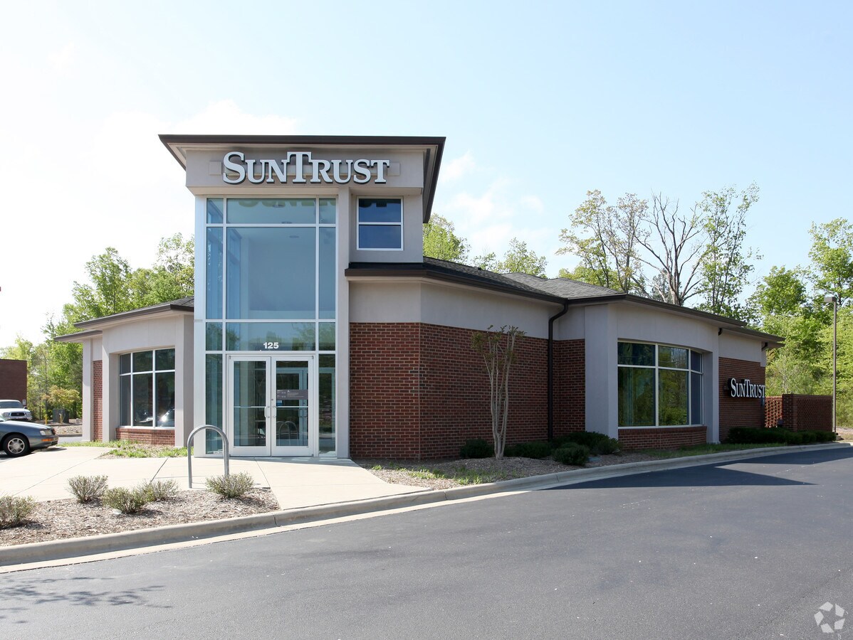
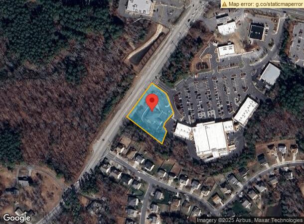
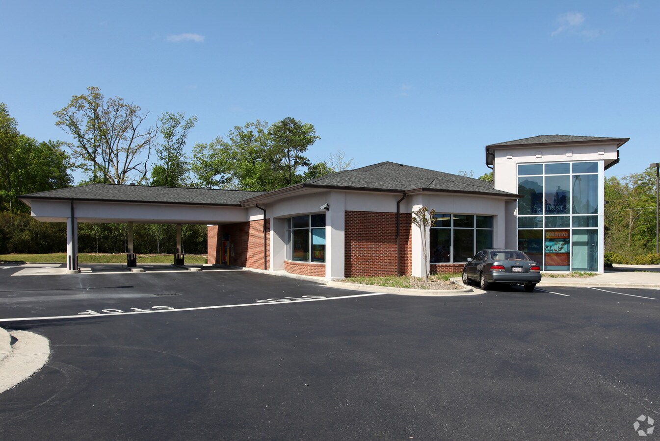
Property Record
125 Sherron Rd, Durham, NC 27703
NEARBY LISTINGS FOR SALE OR LEASE
-
-
View all Durham listings for sale on LoopNet.com
Property Detail
125 Sherron Rd
197971
PROP-RAVENSTONE DEV-G W R AY-LESLIE/TR#01 SUNTRUST PL:000159-000045
Financialbuilding
Durham
X
North Carolina
3720086000K
1.38 AC
2023
South Durham
2024
Raleigh/Durham
0018082002
Durham-Chapel Hill, NC
4,237 SF
DEMOGRAPHICS near 125 Sherron Rd
1 Mile
3 Mile
5 Mile
2024 Total Population
4,424
29,447
91,671
2029 Population
4,594
30,618
96,674
Pop Growth 2024-2029
+ 3.84%
+ 3.98%
+ 5.46%
Average Age
38
40
39
2024 Total Households
1,603
11,214
36,714
HH Growth 2024-2029
+ 3.99%
+ 4.26%
+ 5.78%
Median Household Inc
$115,033
$97,891
$84,905
Avg Household Size
2.60
2.60
2.40
2024 Avg HH Vehicles
2.00
2.00
2.00
Median Home Value
$344,309
$315,288
$314,631
Median Year Built
2006
2004
2002
Nearby Places
- Restaurants
- Banks
- Shops
- Fitness
- Groceries
PUBLIC TRANSPORTATION
COMMUTER RAIL
Durham Amtrak Station (Carolinian - Amtrak, Piedmont - Amtrak)
Drive
Walk
Distance
Durham Amtrak Station (Carolinian - Amtrak, Piedmont - Amtrak)
15 min
6.9 mi
AIRPORT
Raleigh-Durham International
Drive
Walk
Distance
Raleigh-Durham International
19 min
10.9 mi
Freight Ports
Virginia Port Authority - Richmond
Drive
Walk
Distance
Virginia Port Authority - Richmond
168 min
145.1 mi
Nearby Properties
Address
Land Use
TOTAL SIZE
Lot Size
Zoning
Address
Land Use
TOTAL SIZE
Lot Size
Zoning
31,140 SF
20.62 AC
PDR-HDR
Address
Land Use
TOTAL SIZE
Lot Size
Zoning
28,632 SF
23.64 AC
PDR 3.990
Address
Land Use
TOTAL SIZE
Lot Size
Zoning
21.83 AC
OI
Address
Land Use
TOTAL SIZE
Lot Size
Zoning
441,280 SF
48.43 AC
IL
Address
Land Use
TOTAL SIZE
Lot Size
Zoning
12.05 AC
PDR
Address
Land Use
TOTAL SIZE
Lot Size
Zoning
2.38 AC
SRP-C
Address
Land Use
TOTAL SIZE
Lot Size
Zoning
2.23 AC
SRP-C
Address
Land Use
TOTAL SIZE
Lot Size
Zoning
131,114 SF
48.95 AC
RR
Address
Land Use
TOTAL SIZE
Lot Size
Zoning
21.29 AC
CG(D)
Address
Land Use
TOTAL SIZE
Lot Size
Zoning
61,242 SF
8.59 AC
CC(D)
Address
Land Use
TOTAL SIZE
Lot Size
Zoning
4,552 SF
9.48 AC
PDR 10.000
Address
Land Use
TOTAL SIZE
Lot Size
Zoning
212,362 SF
10.79 AC
CG
Address
Land Use
TOTAL SIZE
Lot Size
Zoning
82,777 SF
15.72 AC
RR,RS-20
Address
Land Use
TOTAL SIZE
Lot Size
Zoning
13,824 SF
3.55 AC
SPLIT
Address
Land Use
TOTAL SIZE
Lot Size
Zoning
59,825 SF
9.03 AC
CC
Address
Land Use
TOTAL SIZE
Lot Size
Zoning
12,040 SF
1.79 AC
CN
Address
Land Use
TOTAL SIZE
Lot Size
Zoning
56,905 SF
4.17 AC
IL(D)
Address
Land Use
TOTAL SIZE
Lot Size
Zoning
36,232 SF
12.28 AC
PDR 0.000
Address
Land Use
TOTAL SIZE
Lot Size
Zoning
110.50 AC
PDR 2.903,
Address
Land Use
TOTAL SIZE
Lot Size
Zoning
51,110 SF
0.86 AC
CG
Address
Land Use
TOTAL SIZE
Lot Size
Zoning
82.12 AC
PDR 2.903,
Address
Land Use
TOTAL SIZE
Lot Size
Zoning
25,001 SF
3.90 AC
PDR 1.630
Address
Land Use
TOTAL SIZE
Lot Size
Zoning
17,105 SF
36.53 AC
RR
Address
Land Use
TOTAL SIZE
Lot Size
Zoning
31,776 SF
12.27 AC
RR
Address
Land Use
TOTAL SIZE
Lot Size
Zoning
13.70 AC
CG(D)
Address
Land Use
TOTAL SIZE
Lot Size
Zoning
65.68 AC
PDR 3.236
Address
Land Use
TOTAL SIZE
Lot Size
Zoning
2,008 SF
37.15 AC
RR,RS-20
Address
Land Use
TOTAL SIZE
Lot Size
Zoning
98.34 AC
I
Address
Land Use
TOTAL SIZE
Lot Size
Zoning
7,764 SF
4.62 AC
CC
Address
Land Use
TOTAL SIZE
Lot Size
Zoning
18,180 SF
14.10 AC
IL(D)
Start a new search to find other properties for sale or lease
Connect with us
© 2024 CoStar Group
The information above has been obtained from sources believed reliable. While we do not doubt its accuracy we have not verified it and make no guarantee, warranty or representation about it. It is your responsibility to independently confirm its accuracy and completeness. Any projections, opinions, assumptions, or estimates used are for example only and do not represent the current or future performance of the property. The value of this transaction to you depends on tax and other factors which should be evaluated by your tax, financial, and legal advisors. You and your advisors should conduct a careful, independent investigation of the property to determine to your satisfaction the suitability of the property for your needs.