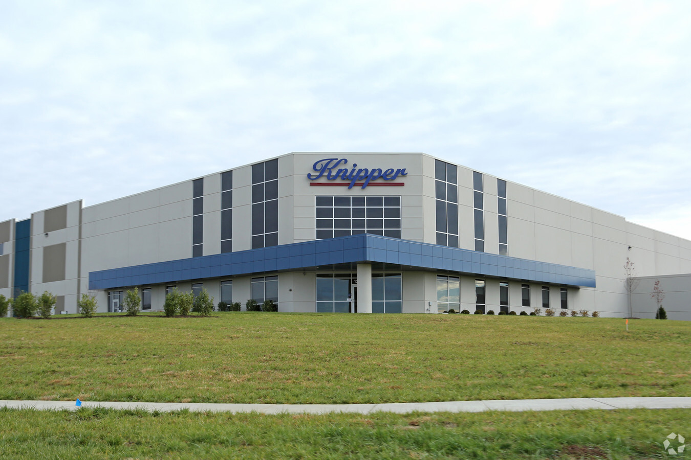
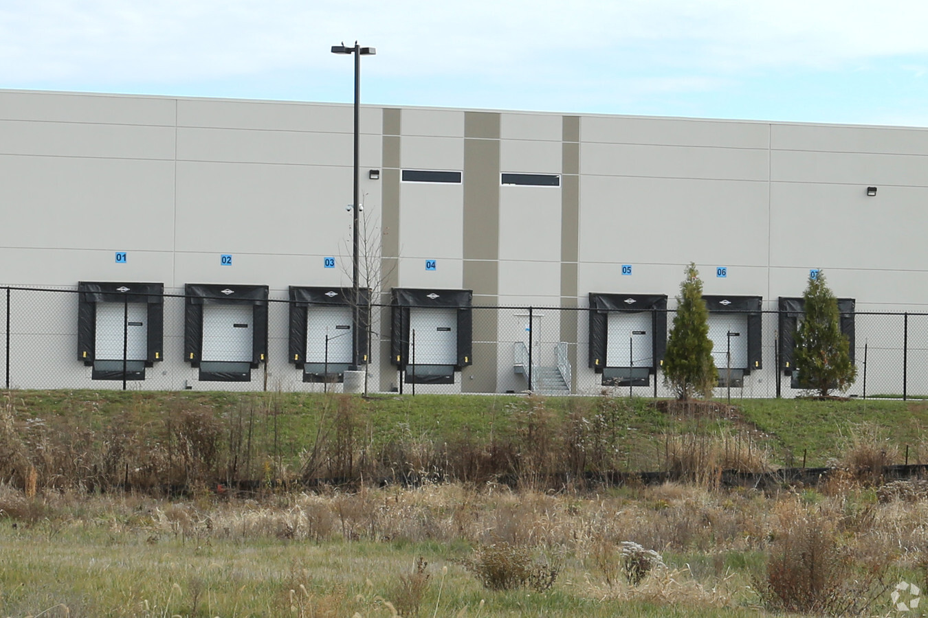
Property Record
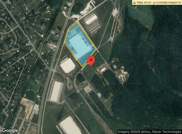
1250 Patrol Rd, Charlestown, IN 47111
NEARBY LISTINGS FOR SALE OR LEASE
Property Detail
1250 Patrol Rd
10-18-07-200-031.000-004
GT 72--26.823 AC
Warehouse
Clark
X
Indiana
21185C0070D
26.82 AC
2023
Outlying Clark County
2023
Louisville
050902
Louisville-Jefferson County, KY-IN
312,078 SF
DEMOGRAPHICS near 1250 Patrol Rd
1 Mile
3 Mile
5 Mile
2024 Total Population
957
10,870
36,673
2029 Population
1,004
11,686
39,110
Pop Growth 2024-2029
+ 4.91%
+ 7.51%
+ 6.65%
Average Age
38
39
40
2024 Total Households
336
3,976
13,461
HH Growth 2024-2029
+ 5.06%
+ 7.55%
+ 6.75%
Median Household Inc
$98,437
$87,481
$88,202
Avg Household Size
2.70
2.60
2.60
2024 Avg HH Vehicles
2.00
2.00
2.00
Median Home Value
$268,583
$252,078
$263,967
Median Year Built
1997
2000
1996
Nearby Places
- Restaurants
- Banks
- Shops
- Fitness
- Groceries
PUBLIC TRANSPORTATION
AIRPORT
Louisville Muhammad Ali International
DRIVE
WALK
Distance
Louisville Muhammad Ali International
40 min
21.5 mi
Freight Ports
Port of Toledo
DRIVE
WALK
Distance
Port of Toledo
360 min
303.3 mi
Nearby Properties
Address
Land Use
TOTAL SIZE
Lot Size
Zoning
Address
Land Use
TOTAL SIZE
Lot Size
Zoning
948,552 SF
70.58 AC
Address
Land Use
TOTAL SIZE
Lot Size
Zoning
1,102,160 SF
65.70 AC
Address
Land Use
TOTAL SIZE
Lot Size
Zoning
659,100 SF
36.44 AC
Address
Land Use
TOTAL SIZE
Lot Size
Zoning
Address
Land Use
TOTAL SIZE
Lot Size
Zoning
592,800 SF
33.72 AC
Address
Land Use
TOTAL SIZE
Lot Size
Zoning
667,972 SF
37.48 AC
Address
Land Use
TOTAL SIZE
Lot Size
Zoning
500,000 SF
24.99 AC
Address
Land Use
TOTAL SIZE
Lot Size
Zoning
470,244 SF
21.11 AC
Address
Land Use
TOTAL SIZE
Lot Size
Zoning
12.89 AC
Address
Land Use
TOTAL SIZE
Lot Size
Zoning
427,988 SF
21.89 AC
Address
Land Use
TOTAL SIZE
Lot Size
Zoning
507,456 SF
11.50 AC
Address
Land Use
TOTAL SIZE
Lot Size
Zoning
448,950 SF
30.44 AC
Address
Land Use
TOTAL SIZE
Lot Size
Zoning
460,600 SF
32.96 AC
Address
Land Use
TOTAL SIZE
Lot Size
Zoning
Address
Land Use
TOTAL SIZE
Lot Size
Zoning
435,095 SF
22.66 AC
Address
Land Use
TOTAL SIZE
Lot Size
Zoning
499,500 SF
30.26 AC
Address
Land Use
TOTAL SIZE
Lot Size
Zoning
Address
Land Use
TOTAL SIZE
Lot Size
Zoning
257,335 SF
18.71 AC
Address
Land Use
TOTAL SIZE
Lot Size
Zoning
250,025 SF
20.88 AC
Address
Land Use
TOTAL SIZE
Lot Size
Zoning
113,602 SF
7.54 AC
Address
Land Use
TOTAL SIZE
Lot Size
Zoning
18,128 SF
10.47 AC
Address
Land Use
TOTAL SIZE
Lot Size
Zoning
197,784 SF
11.09 AC
Address
Land Use
TOTAL SIZE
Lot Size
Zoning
292,500 SF
22.36 AC
Address
Land Use
TOTAL SIZE
Lot Size
Zoning
200,675 SF
29.31 AC
Address
Land Use
TOTAL SIZE
Lot Size
Zoning
82,827 SF
13.61 AC
Address
Land Use
TOTAL SIZE
Lot Size
Zoning
15.99 AC
Address
Land Use
TOTAL SIZE
Lot Size
Zoning
150,000 SF
10.70 AC
Address
Land Use
TOTAL SIZE
Lot Size
Zoning
105,004 SF
8.86 AC
Address
Land Use
TOTAL SIZE
Lot Size
Zoning
7.81 AC
The World's #1 Commercial Real Estate Marketplace
Connect with us
© 2025 CoStar Group
The information above has been obtained from sources believed reliable. While we do not doubt its accuracy we have not verified it and make no guarantee, warranty or representation about it. It is your responsibility to independently confirm its accuracy and completeness. Any projections, opinions, assumptions, or estimates used are for example only and do not represent the current or future performance of the property. The value of this transaction to you depends on tax and other factors which should be evaluated by your tax, financial, and legal advisors. You and your advisors should conduct a careful, independent investigation of the property to determine to your satisfaction the suitability of the property for your needs.