Property Record
12500 La Grange Rd, Louisville, KY 40245

NEARBY LISTINGS FOR SALE OR LEASE
-
-
View all Louisville listings for sale on LoopNet.com
Property Detail
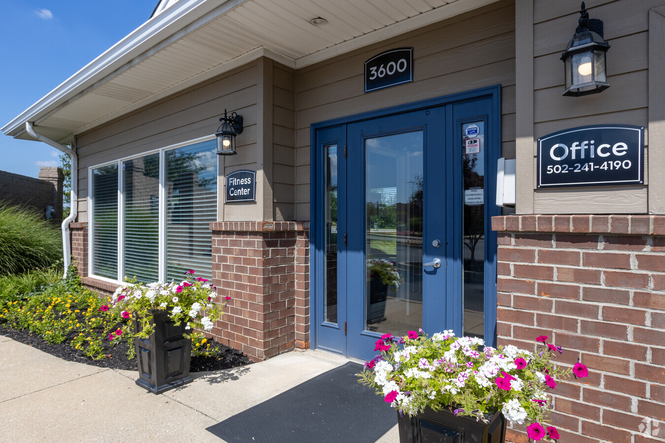
12500 La Grange Rd
Louisville-Jefferson County, KY-IN
Forest Springs
337500040000
Jefferson
Apartment
Kentucky
X
7.81 AC
21111C0020E
Outer East End
18,720 SF
Louisville
DEMOGRAPHICS near 12500 La Grange Rd
1 Mile
3 Mile
5 Mile
2024 Total Population
6,674
43,428
119,843
2029 Population
6,685
43,793
120,302
Pop Growth 2024-2029
+ 0.16%
+ 0.84%
+ 0.38%
Average Age
39
40
41
2024 Total Households
2,661
16,489
48,178
HH Growth 2024-2029
+ 0.30%
+ 0.70%
+ 0.14%
Median Household Inc
$104,891
$100,500
$98,427
Avg Household Size
2.50
2.60
2.40
2024 Avg HH Vehicles
2.00
2.00
2.00
Median Home Value
$359,490
$330,535
$332,365
Median Year Built
2002
1995
1994
Nearby Places
- Restaurants
- Banks
- Shops
- Fitness
- Groceries
PUBLIC TRANSPORTATION
AIRPORT
Louisville Muhammad Ali International
DRIVE
WALK
Distance
Louisville Muhammad Ali International
36 min
22.6 mi
Freight Ports
Port of Toledo
DRIVE
WALK
Distance
Port of Toledo
348 min
296.2 mi
Nearby Properties
Address
Land Use
TOTAL SIZE
Lot Size
Zoning
Address
Land Use
TOTAL SIZE
Lot Size
Zoning
8,200 SF
25.23 AC
Address
Land Use
TOTAL SIZE
Lot Size
Zoning
9.74 AC
Address
Land Use
TOTAL SIZE
Lot Size
Zoning
3,172 SF
17.51 AC
R1-RESIDEN
Address
Land Use
TOTAL SIZE
Lot Size
Zoning
20.07 AC
Address
Land Use
TOTAL SIZE
Lot Size
Zoning
31.03 AC
C1-COMMERC
Address
Land Use
TOTAL SIZE
Lot Size
Zoning
17,628 SF
19.19 AC
R7-RESIDEN
Address
Land Use
TOTAL SIZE
Lot Size
Zoning
2,793 SF
12.49 AC
R4-RESIDEN
Address
Land Use
TOTAL SIZE
Lot Size
Zoning
Address
Land Use
TOTAL SIZE
Lot Size
Zoning
142,751 SF
48.49 AC
PEC-PLANNE
Address
Land Use
TOTAL SIZE
Lot Size
Zoning
2,094 SF
20.57 AC
R4-RESIDEN
Address
Land Use
TOTAL SIZE
Lot Size
Zoning
62,500 SF
59.16 AC
PEC-PLANNE
Address
Land Use
TOTAL SIZE
Lot Size
Zoning
699,508 SF
55.04 AC
PEC-PLANNE
Address
Land Use
TOTAL SIZE
Lot Size
Zoning
20.36 AC
PEC-PLANNE
Address
Land Use
TOTAL SIZE
Lot Size
Zoning
27,471 SF
13.24 AC
R7-RESIDEN
Address
Land Use
TOTAL SIZE
Lot Size
Zoning
17.80 AC
Address
Land Use
TOTAL SIZE
Lot Size
Zoning
121,707 SF
8.95 AC
Address
Land Use
TOTAL SIZE
Lot Size
Zoning
Address
Land Use
TOTAL SIZE
Lot Size
Zoning
5,010 SF
27.51 AC
(R4)RESIDE
Address
Land Use
TOTAL SIZE
Lot Size
Zoning
Address
Land Use
TOTAL SIZE
Lot Size
Zoning
9.68 AC
Address
Land Use
TOTAL SIZE
Lot Size
Zoning
55,583 SF
11.25 AC
PEC-PLANNE
Address
Land Use
TOTAL SIZE
Lot Size
Zoning
Address
Land Use
TOTAL SIZE
Lot Size
Zoning
159,318 SF
11.20 AC
PEC-PLANNE
Address
Land Use
TOTAL SIZE
Lot Size
Zoning
Address
Land Use
TOTAL SIZE
Lot Size
Zoning
10.84 AC
R5A-RESIDE
Address
Land Use
TOTAL SIZE
Lot Size
Zoning
252,977 SF
14.23 AC
PEC-PLANNE
Address
Land Use
TOTAL SIZE
Lot Size
Zoning
236,108 SF
64.78 AC
R4-RESIDEN
Address
Land Use
TOTAL SIZE
Lot Size
Zoning
106,368 SF
9.15 AC
PEC-PLANNE
Address
Land Use
TOTAL SIZE
Lot Size
Zoning
Address
Land Use
TOTAL SIZE
Lot Size
Zoning
228,659 SF
19.52 AC
C2-COMMERC
The World's #1 Commercial Real Estate Marketplace
Connect with us
© 2025 CoStar Group
The information above has been obtained from sources believed reliable. While we do not doubt its accuracy we have not verified it and make no guarantee, warranty or representation about it. It is your responsibility to independently confirm its accuracy and completeness. Any projections, opinions, assumptions, or estimates used are for example only and do not represent the current or future performance of the property. The value of this transaction to you depends on tax and other factors which should be evaluated by your tax, financial, and legal advisors. You and your advisors should conduct a careful, independent investigation of the property to determine to your satisfaction the suitability of the property for your needs.