Property Record
1260 E Stringham Ave, Salt Lake City, UT 84106
NEARBY LISTINGS FOR SALE OR LEASE
Property Detail
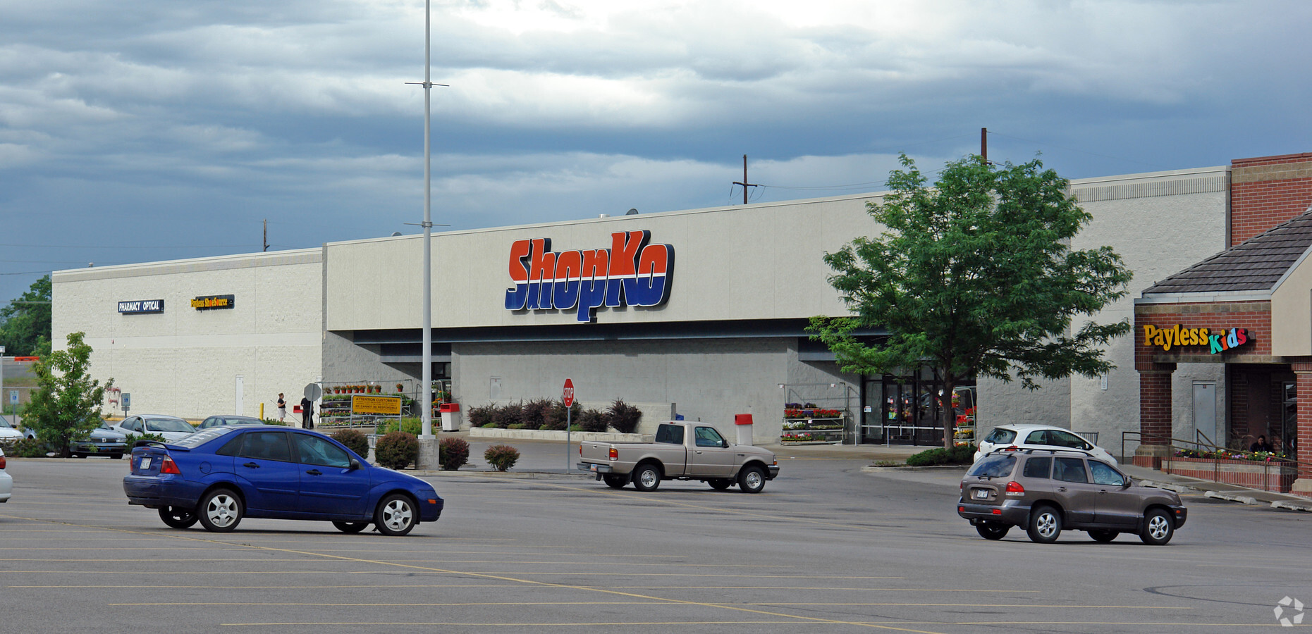
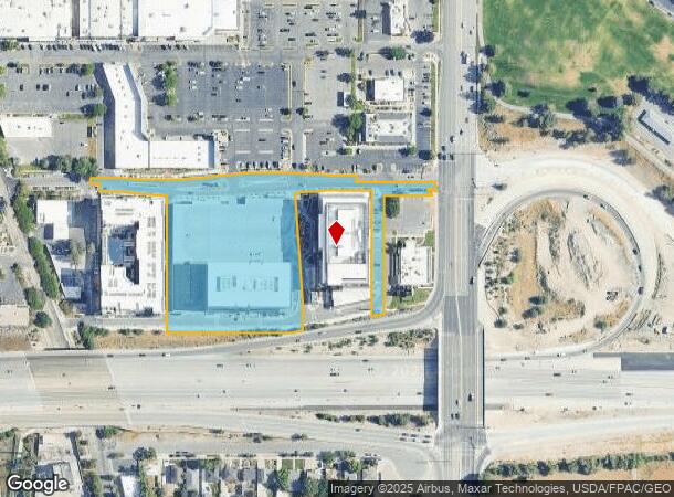
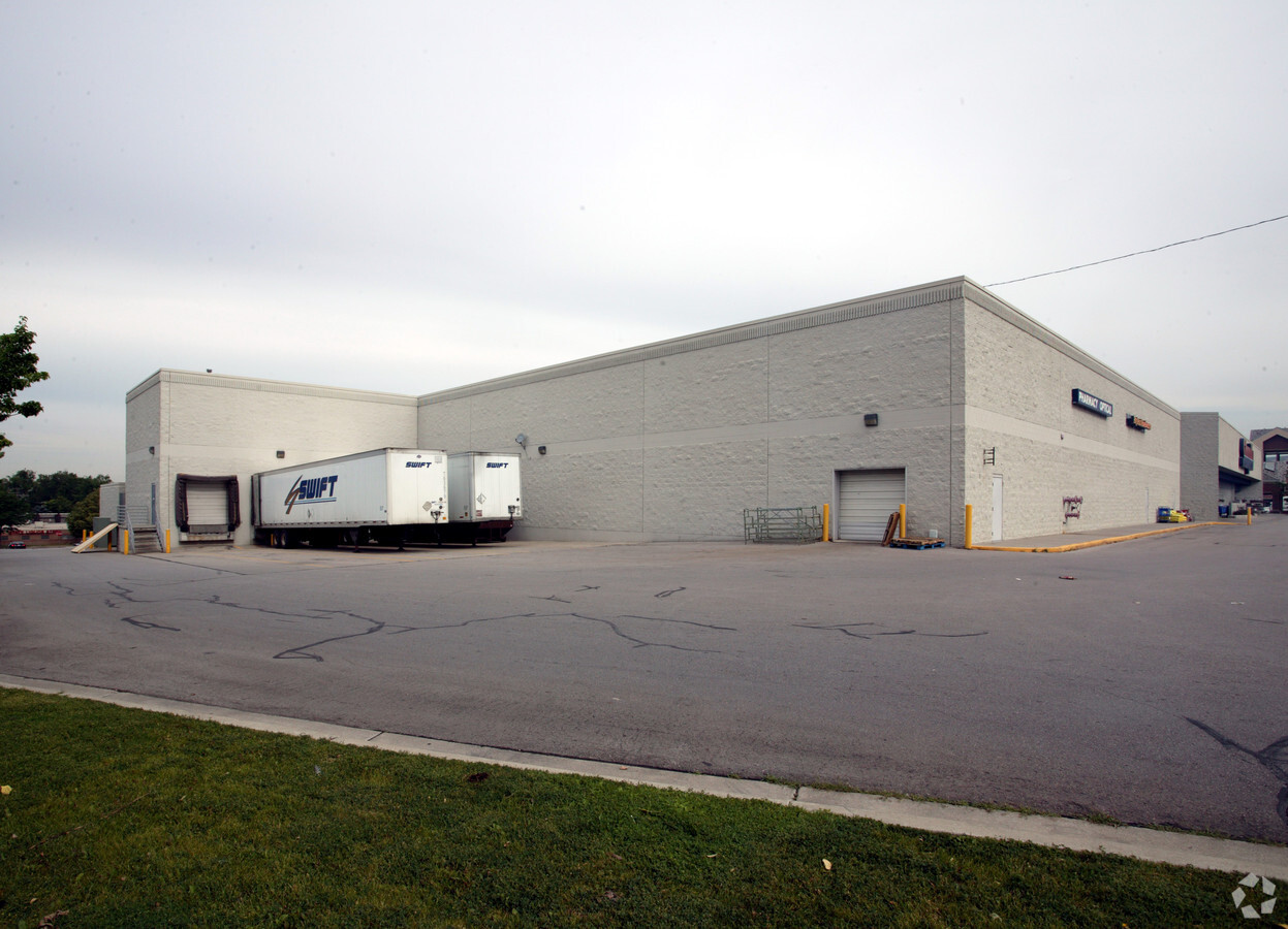
1260 E Stringham Ave
Salt Lake City, UT
Sugarhouse Center
16-20-276-065-0000
LOT 4B, SUGARHOUSE CENTER AMD.
Officebuilding
Salt Lake
X
Utah
49035C0301H
4b
2023
4.20 AC
2023
Sugarhouse
114100
Salt Lake City
517,619 SF
DEMOGRAPHICS near 1260 E Stringham Ave
1 Mile
3 Mile
5 Mile
2024 Total Population
19,840
155,357
332,371
2029 Population
20,126
157,128
336,940
Pop Growth 2024-2029
+ 1.44%
+ 1.14%
+ 1.37%
Average Age
38
37
38
2024 Total Households
9,116
66,648
139,917
HH Growth 2024-2029
+ 1.73%
+ 1.26%
+ 1.66%
Median Household Inc
$82,132
$71,246
$67,538
Avg Household Size
2.10
2.20
2.20
2024 Avg HH Vehicles
2.00
2.00
2.00
Median Home Value
$494,137
$541,858
$506,133
Median Year Built
1957
1963
1971
Nearby Places
- Restaurants
- Banks
- Shops
- Fitness
- Groceries
PUBLIC TRANSPORTATION
TRANSIT/SUBWAY
Fairmont Station (S-Line - Utah Transit Authority (UTA))
DRIVE
WALK
Distance
Fairmont Station (S-Line - Utah Transit Authority (UTA))
1 min
8 min
0.4 mi
Sugarmont Station (S-Line - Utah Transit Authority (UTA))
DRIVE
WALK
Distance
Sugarmont Station (S-Line - Utah Transit Authority (UTA))
1 min
12 min
0.6 mi
700 East Station (S-Line - Utah Transit Authority (UTA))
DRIVE
WALK
Distance
700 East Station (S-Line - Utah Transit Authority (UTA))
3 min
19 min
1.0 mi
COMMUTER RAIL
North Temple Station (FrontRunner - Utah Transit Authority (UTA))
DRIVE
WALK
Distance
North Temple Station (FrontRunner - Utah Transit Authority (UTA))
11 min
7.1 mi
Warm Springs Relief Point (FrontRunner - Utah Transit Authority (UTA))
DRIVE
WALK
Distance
Warm Springs Relief Point (FrontRunner - Utah Transit Authority (UTA))
12 min
8.5 mi
AIRPORT
Salt Lake City International
DRIVE
WALK
Distance
Salt Lake City International
15 min
11.1 mi
Freight Ports
Port of Stockton
DRIVE
WALK
Distance
Port of Stockton
715 min
701.5 mi
Nearby Properties
Address
Land Use
TOTAL SIZE
Lot Size
Zoning
Address
Land Use
TOTAL SIZE
Lot Size
Zoning
629,582 SF
80.77 AC
I
Address
Land Use
TOTAL SIZE
Lot Size
Zoning
457,024 SF
127 AC
RP
Address
Land Use
TOTAL SIZE
Lot Size
Zoning
296,978 SF
27.30 AC
I
Address
Land Use
TOTAL SIZE
Lot Size
Zoning
308,431 SF
38 AC
I
Address
Land Use
TOTAL SIZE
Lot Size
Zoning
163,932 SF
14.65 AC
PL
Address
Land Use
TOTAL SIZE
Lot Size
Zoning
16,933 SF
34.68 AC
1205
Address
Land Use
TOTAL SIZE
Lot Size
Zoning
497,018 SF
13.11 AC
1205
Address
Land Use
TOTAL SIZE
Lot Size
Zoning
183,600 SF
10.70 AC
RMF-35
Address
Land Use
TOTAL SIZE
Lot Size
Zoning
691,463 SF
17.80 AC
RM
Address
Land Use
TOTAL SIZE
Lot Size
Zoning
19,640 SF
100 AC
OS
Address
Land Use
TOTAL SIZE
Lot Size
Zoning
128,997 SF
3.04 AC
ESN
Address
Land Use
TOTAL SIZE
Lot Size
Zoning
426,600 SF
1.61 AC
CSHBD1
Address
Land Use
TOTAL SIZE
Lot Size
Zoning
232,984 SF
52.19 AC
RP
Address
Land Use
TOTAL SIZE
Lot Size
Zoning
296,854 SF
10.97 AC
1205
Address
Land Use
TOTAL SIZE
Lot Size
Zoning
903,167 SF
1.90 AC
CSHBD1
Address
Land Use
TOTAL SIZE
Lot Size
Zoning
95,854 SF
15.42 AC
CC
Address
Land Use
TOTAL SIZE
Lot Size
Zoning
297,476 SF
1.74 AC
Address
Land Use
TOTAL SIZE
Lot Size
Zoning
538,682 SF
4.11 AC
E ST C
Address
Land Use
TOTAL SIZE
Lot Size
Zoning
33,164 SF
6.88 AC
RM
Address
Land Use
TOTAL SIZE
Lot Size
Zoning
369,717 SF
2.50 AC
RO
Address
Land Use
TOTAL SIZE
Lot Size
Zoning
323,689 SF
29.21 AC
1205
Address
Land Use
TOTAL SIZE
Lot Size
Zoning
347,330 SF
6.91 AC
CC
Address
Land Use
TOTAL SIZE
Lot Size
Zoning
191,876 SF
3.18 AC
TSAUNC
Address
Land Use
TOTAL SIZE
Lot Size
Zoning
152,579 SF
25.45 AC
I
Address
Land Use
TOTAL SIZE
Lot Size
Zoning
107,416 SF
5.46 AC
C-SHBD
Address
Land Use
TOTAL SIZE
Lot Size
Zoning
335,747 SF
2.22 AC
D2
Address
Land Use
TOTAL SIZE
Lot Size
Zoning
17,924 SF
12.87 AC
RM
Address
Land Use
TOTAL SIZE
Lot Size
Zoning
388,498 SF
10.18 AC
CS
Address
Land Use
TOTAL SIZE
Lot Size
Zoning
275,946 SF
20.41 AC
I
Address
Land Use
TOTAL SIZE
Lot Size
Zoning
386,512 SF
9.66 AC
C-SHDB
The World's #1 Commercial Real Estate Marketplace
Connect with us
© 2025 CoStar Group
The information above has been obtained from sources believed reliable. While we do not doubt its accuracy we have not verified it and make no guarantee, warranty or representation about it. It is your responsibility to independently confirm its accuracy and completeness. Any projections, opinions, assumptions, or estimates used are for example only and do not represent the current or future performance of the property. The value of this transaction to you depends on tax and other factors which should be evaluated by your tax, financial, and legal advisors. You and your advisors should conduct a careful, independent investigation of the property to determine to your satisfaction the suitability of the property for your needs.