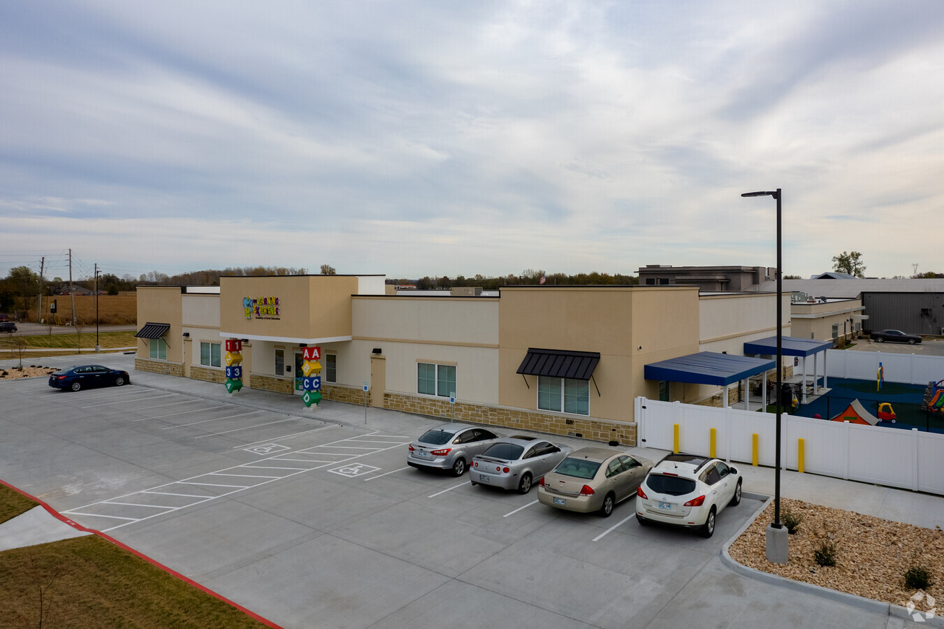
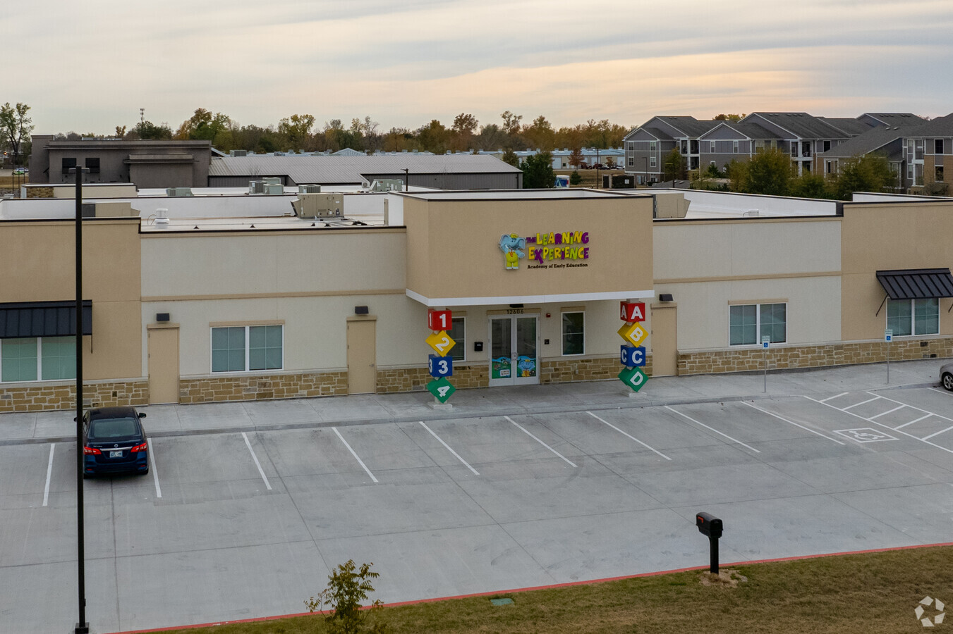
Property Record
12606 S Memorial Dr, Bixby, OK 74008
NEARBY LISTINGS FOR SALE OR LEASE
Property Detail
12606 S Memorial Dr
57959-73-02-08240
River Trail Ii
Daycare
W265 OF COMMERCIAL AREA LESS BEG SWC TH E10.31 N185.01 W9.44 S185.02 POB
X
Tulsa
40143C0432M
Oklahoma
2023
1.34 AC
2024
South
007656
Tulsa
10,080 SF
Tulsa, OK
DEMOGRAPHICS near 12606 S Memorial Dr
1 Mile
3 Mile
5 Mile
2024 Total Population
7,217
43,781
118,676
2029 Population
7,537
45,610
122,967
Pop Growth 2024-2029
+ 4.43%
+ 4.18%
+ 3.62%
Average Age
36
39
39
2024 Total Households
2,676
15,821
44,850
HH Growth 2024-2029
+ 4.22%
+ 4.07%
+ 3.56%
Median Household Inc
$70,918
$106,176
$94,779
Avg Household Size
2.70
2.70
2.60
2024 Avg HH Vehicles
2.00
2.00
2.00
Median Home Value
$323,474
$335,524
$278,946
Median Year Built
2008
1998
1994
Nearby Places
- Restaurants
- Banks
- Shops
- Fitness
- Groceries
PUBLIC TRANSPORTATION
AIRPORT
Tulsa International
DRIVE
WALK
Distance
Tulsa International
18 min
17.1 mi
SALE & LEASE HISTORY
LISTING DATE
SALE/LEASE

May 05, 2021
For Sale
Nearby Properties
Address
Land Use
TOTAL SIZE
Lot Size
Zoning
Address
Land Use
TOTAL SIZE
Lot Size
Zoning
55,384 SF
14.81 AC
AG
Address
Land Use
TOTAL SIZE
Lot Size
Zoning
73,113 SF
28.52 AC
R2
Address
Land Use
TOTAL SIZE
Lot Size
Zoning
176,243 SF
5.77 AC
CS
Address
Land Use
TOTAL SIZE
Lot Size
Zoning
27,278 SF
2.49 AC
CS
Address
Land Use
TOTAL SIZE
Lot Size
Zoning
56,526 SF
25.18 AC
AG
Address
Land Use
TOTAL SIZE
Lot Size
Zoning
91,314 SF
19.62 AC
RS3
Address
Land Use
TOTAL SIZE
Lot Size
Zoning
10,265 SF
56.52 AC
RS2
Address
Land Use
TOTAL SIZE
Lot Size
Zoning
2,372,132 SF
147.83 AC
AG
Address
Land Use
TOTAL SIZE
Lot Size
Zoning
27,256 SF
31.19 AC
CS
Address
Land Use
TOTAL SIZE
Lot Size
Zoning
219,987 SF
6.97 AC
RM3
Address
Land Use
TOTAL SIZE
Lot Size
Zoning
219,987 SF
10.06 AC
CS
Address
Land Use
TOTAL SIZE
Lot Size
Zoning
30,000 SF
5.06 AC
Address
Land Use
TOTAL SIZE
Lot Size
Zoning
31,798 SF
4.42 AC
AG
Address
Land Use
TOTAL SIZE
Lot Size
Zoning
30,000 SF
5.13 AC
CS
Address
Land Use
TOTAL SIZE
Lot Size
Zoning
22,140 SF
75.39 AC
AG
Address
Land Use
TOTAL SIZE
Lot Size
Zoning
10,584 SF
1.15 AC
CS
Address
Land Use
TOTAL SIZE
Lot Size
Zoning
17,776 SF
0.75 AC
CH
Address
Land Use
TOTAL SIZE
Lot Size
Zoning
243,504 SF
13.97 AC
RM3
Address
Land Use
TOTAL SIZE
Lot Size
Zoning
295,254 SF
12.08 AC
CO
Address
Land Use
TOTAL SIZE
Lot Size
Zoning
26,530 SF
0.81 AC
IL
Address
Land Use
TOTAL SIZE
Lot Size
Zoning
28,174 SF
8.32 AC
AG
Address
Land Use
TOTAL SIZE
Lot Size
Zoning
27,896 SF
4.72 AC
AG
Address
Land Use
TOTAL SIZE
Lot Size
Zoning
199,720 SF
7.63 AC
RM1
Address
Land Use
TOTAL SIZE
Lot Size
Zoning
37,009 SF
4.18 AC
RS1
Address
Land Use
TOTAL SIZE
Lot Size
Zoning
196,322 SF
23.55 AC
IM
Address
Land Use
TOTAL SIZE
Lot Size
Zoning
36,312 SF
3.50 AC
CG
Address
Land Use
TOTAL SIZE
Lot Size
Zoning
12,156 SF
1.76 AC
CS
Address
Land Use
TOTAL SIZE
Lot Size
Zoning
58,112 SF
41.58 AC
AG
Address
Land Use
TOTAL SIZE
Lot Size
Zoning
2,500 SF
8.21 AC
RS1
Address
Land Use
TOTAL SIZE
Lot Size
Zoning
285,981 SF
68.60 AC
RM2
The World's #1 Commercial Real Estate Marketplace
Connect with us
© 2025 CoStar Group
The information above has been obtained from sources believed reliable. While we do not doubt its accuracy we have not verified it and make no guarantee, warranty or representation about it. It is your responsibility to independently confirm its accuracy and completeness. Any projections, opinions, assumptions, or estimates used are for example only and do not represent the current or future performance of the property. The value of this transaction to you depends on tax and other factors which should be evaluated by your tax, financial, and legal advisors. You and your advisors should conduct a careful, independent investigation of the property to determine to your satisfaction the suitability of the property for your needs.