Property Record
12664 Route 19 S, Waterford, PA 16441
Current Lease Availabilities
NEARBY LISTINGS FOR SALE OR LEASE
Property Detail
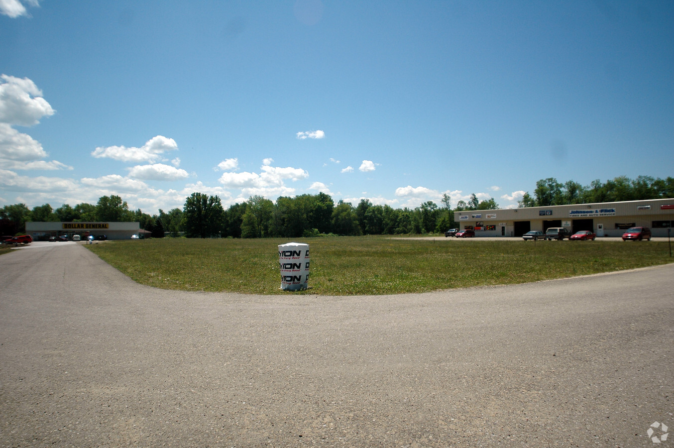
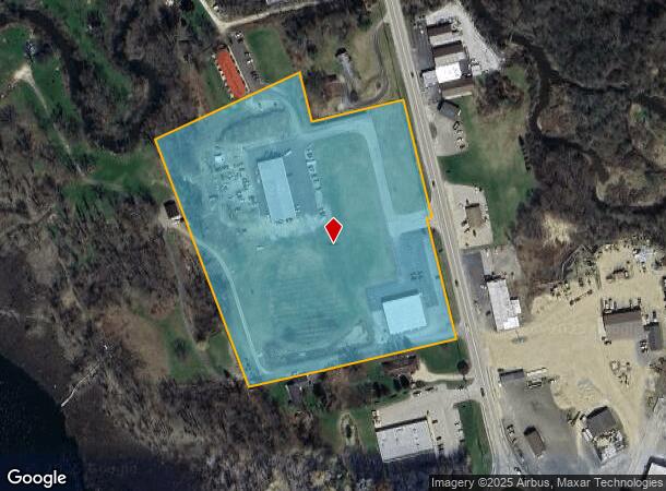
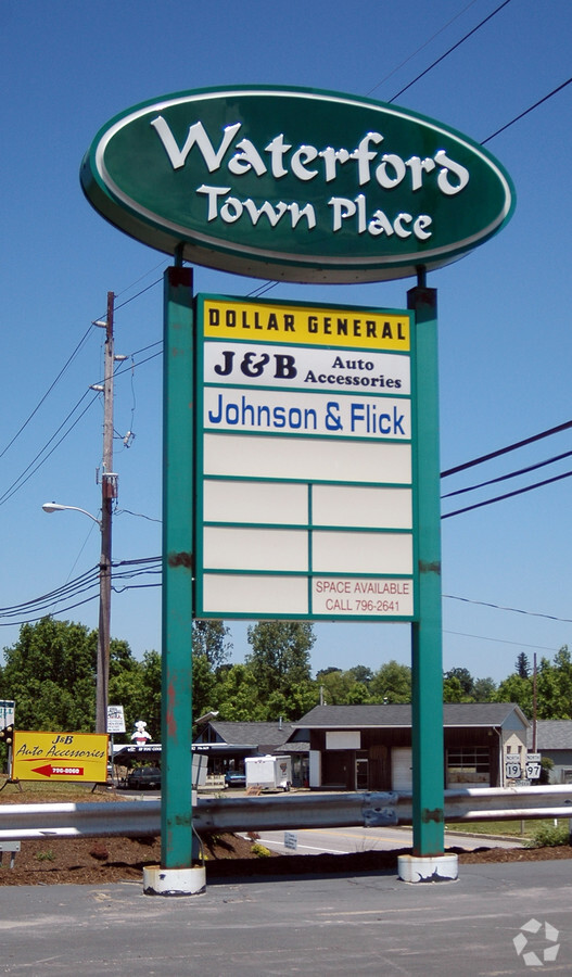
12664 Route 19 S
47-027-060.0-007.00
12664 S ROUTE 19 10.203 AC NET PCL 46-9-67-5 PT OF THIS PCL 1.573 AC TOTAL = 11.776
Wholesaleoutletdiscountstore
Erie
AE
Pennsylvania
42049C0411D
10.20 AC
2024
Outlying Erie County
2024
Erie
012100
Erie, PA
8,000 SF
DEMOGRAPHICS near 12664 Route 19 S
1 Mile
3 Mile
5 Mile
2024 Total Population
1,599
3,624
6,184
2029 Population
1,553
3,510
5,956
Pop Growth 2024-2029
(2.88%)
(3.15%)
(3.69%)
Average Age
41
42
42
2024 Total Households
672
1,451
2,429
HH Growth 2024-2029
(2.98%)
(3.24%)
(3.79%)
Median Household Inc
$59,150
$65,921
$68,999
Avg Household Size
2.40
2.50
2.50
2024 Avg HH Vehicles
2.00
2.00
2.00
Median Home Value
$167,792
$184,143
$191,864
Median Year Built
1962
1975
1977
Nearby Places
- Restaurants
- Banks
- Shops
- Fitness
- Groceries
PUBLIC TRANSPORTATION
AIRPORT
Erie International/Tom Ridge Field
DRIVE
WALK
Distance
Erie International/Tom Ridge Field
30 min
17.5 mi
Freight Ports
Port of Toledo
DRIVE
WALK
Distance
Port of Toledo
260 min
219.2 mi
Nearby Properties
Address
Land Use
TOTAL SIZE
Lot Size
Zoning
Address
Land Use
TOTAL SIZE
Lot Size
Zoning
28.74 AC
R2
Address
Land Use
TOTAL SIZE
Lot Size
Zoning
2.82 AC
R2
Address
Land Use
TOTAL SIZE
Lot Size
Zoning
164,363 SF
29.34 AC
M1A
Address
Land Use
TOTAL SIZE
Lot Size
Zoning
76.90 AC
R1
Address
Land Use
TOTAL SIZE
Lot Size
Zoning
657 AC
A1
Address
Land Use
TOTAL SIZE
Lot Size
Zoning
16,530 SF
14.35 AC
A2
Address
Land Use
TOTAL SIZE
Lot Size
Zoning
11,076 SF
3.89 AC
A1
Address
Land Use
TOTAL SIZE
Lot Size
Zoning
16,224 SF
0.96 AC
R2
Address
Land Use
TOTAL SIZE
Lot Size
Zoning
9,776 SF
1.02 AC
Address
Land Use
TOTAL SIZE
Lot Size
Zoning
2,806 SF
1.35 AC
T
Address
Land Use
TOTAL SIZE
Lot Size
Zoning
31,272 SF
2.50 AC
B2
Address
Land Use
TOTAL SIZE
Lot Size
Zoning
0.59 AC
B1
Address
Land Use
TOTAL SIZE
Lot Size
Zoning
23,968 SF
3.29 AC
R1
Address
Land Use
TOTAL SIZE
Lot Size
Zoning
256.43 AC
A1
Address
Land Use
TOTAL SIZE
Lot Size
Zoning
50 AC
A2
Address
Land Use
TOTAL SIZE
Lot Size
Zoning
21,083 SF
6.01 AC
T
Address
Land Use
TOTAL SIZE
Lot Size
Zoning
16,688 SF
2.66 AC
T
Address
Land Use
TOTAL SIZE
Lot Size
Zoning
4,176 SF
1.42 AC
Address
Land Use
TOTAL SIZE
Lot Size
Zoning
1,844 SF
221.61 AC
A2
Address
Land Use
TOTAL SIZE
Lot Size
Zoning
5.45 AC
A2
Address
Land Use
TOTAL SIZE
Lot Size
Zoning
16.55 AC
B2
Address
Land Use
TOTAL SIZE
Lot Size
Zoning
5,486 SF
141.62 AC
A
Address
Land Use
TOTAL SIZE
Lot Size
Zoning
11,076 SF
3.32 AC
A1
Address
Land Use
TOTAL SIZE
Lot Size
Zoning
15.79 AC
R2
Address
Land Use
TOTAL SIZE
Lot Size
Zoning
183.78 AC
A2
Address
Land Use
TOTAL SIZE
Lot Size
Zoning
8,832 SF
1.57 AC
T
Address
Land Use
TOTAL SIZE
Lot Size
Zoning
180.90 AC
A1
Address
Land Use
TOTAL SIZE
Lot Size
Zoning
10,640 SF
1.65 AC
R1
Address
Land Use
TOTAL SIZE
Lot Size
Zoning
13,539 SF
0.29 AC
R2
The World's #1 Commercial Real Estate Marketplace
Connect with us
© 2025 CoStar Group
The information above has been obtained from sources believed reliable. While we do not doubt its accuracy we have not verified it and make no guarantee, warranty or representation about it. It is your responsibility to independently confirm its accuracy and completeness. Any projections, opinions, assumptions, or estimates used are for example only and do not represent the current or future performance of the property. The value of this transaction to you depends on tax and other factors which should be evaluated by your tax, financial, and legal advisors. You and your advisors should conduct a careful, independent investigation of the property to determine to your satisfaction the suitability of the property for your needs.