Property Record
127 Best Wood Dr, Clayton, NC 27520


NEARBY LISTINGS FOR SALE OR LEASE
-
-
View all Clayton listings for sale on LoopNet.com
Property Detail
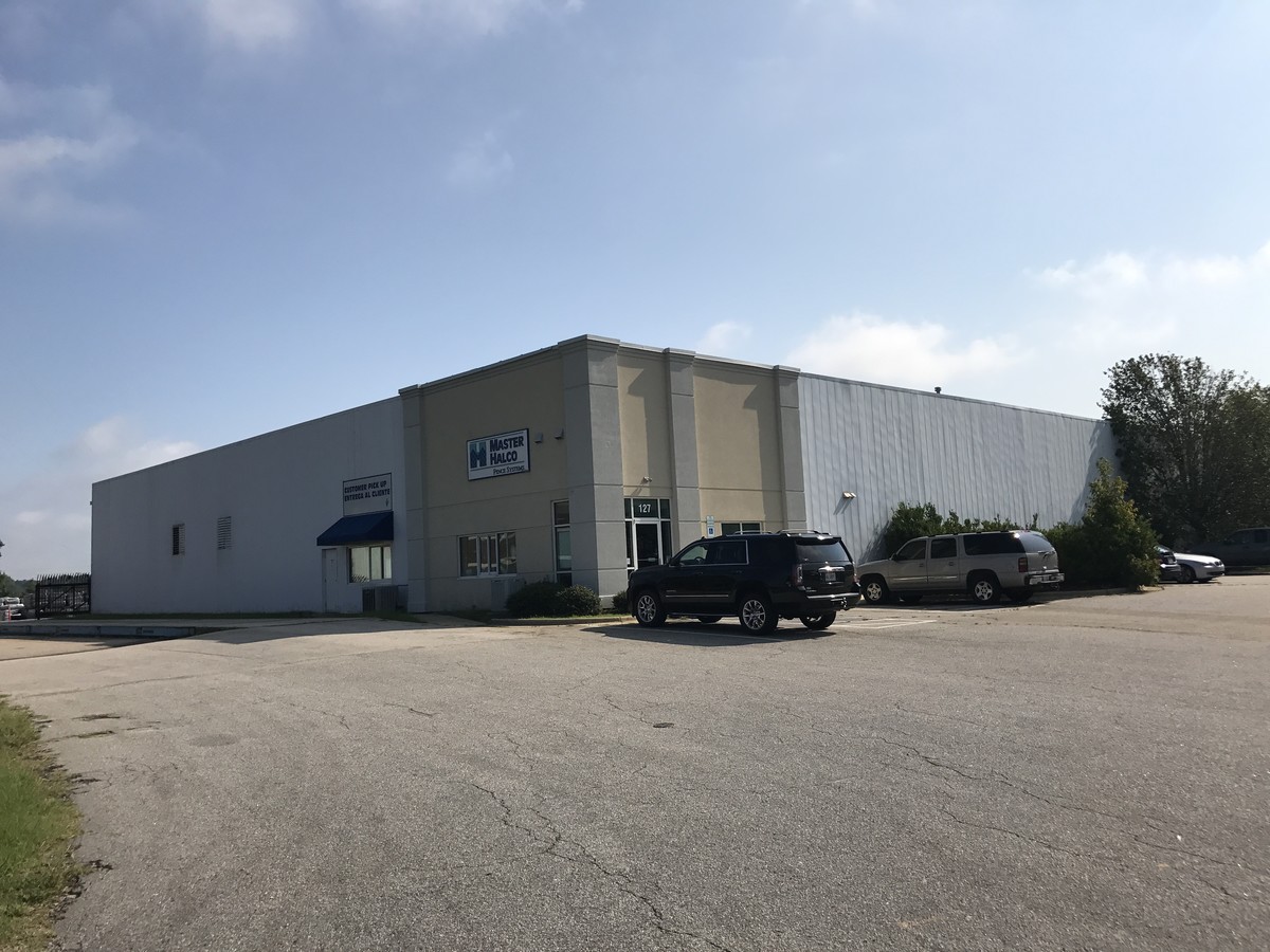
127 Best Wood Dr
Raleigh, NC
North Tech Park
05I05019P
LOT 9 NORTH TECH PRK 52/275
Warehouse
Johnston
X
North Carolina
3720167700K
9
2024
4.36 AC
2024
Johnston County
040903
Raleigh/Durham
25,000 SF
DEMOGRAPHICS near 127 Best Wood Dr
1 Mile
3 Mile
5 Mile
2024 Total Population
888
20,644
65,735
2029 Population
1,092
25,229
80,412
Pop Growth 2024-2029
+ 22.97%
+ 22.21%
+ 22.33%
Average Age
38
38
38
2024 Total Households
302
7,279
23,539
HH Growth 2024-2029
+ 23.51%
+ 22.37%
+ 22.46%
Median Household Inc
$97,767
$85,664
$75,896
Avg Household Size
2.90
2.80
2.70
2024 Avg HH Vehicles
2.00
2.00
2.00
Median Home Value
$282,999
$294,736
$280,366
Median Year Built
2010
2004
2004
Nearby Places
- Restaurants
- Banks
- Shops
- Fitness
- Groceries
PUBLIC TRANSPORTATION
AIRPORT
Raleigh-Durham International
DRIVE
WALK
Distance
Raleigh-Durham International
47 min
37.5 mi
Freight Ports
Port of Wilmington
DRIVE
WALK
Distance
Port of Wilmington
146 min
117.2 mi
SALE & LEASE HISTORY
LISTING DATE
SALE/LEASE

Sep 06, 2017
For Sale
Mar 20, 2018
For Sale
Nearby Properties
Address
Land Use
TOTAL SIZE
Lot Size
Zoning
Address
Land Use
TOTAL SIZE
Lot Size
Zoning
29,088 SF
193.04 AC
IND
Address
Land Use
TOTAL SIZE
Lot Size
Zoning
71,773 SF
54.30 AC
IND
Address
Land Use
TOTAL SIZE
Lot Size
Zoning
25,200 SF
IND
Address
Land Use
TOTAL SIZE
Lot Size
Zoning
99,977 SF
65.35 AC
IND
Address
Land Use
TOTAL SIZE
Lot Size
Zoning
50,490 SF
IND
Address
Land Use
TOTAL SIZE
Lot Size
Zoning
84,568 SF
COM
Address
Land Use
TOTAL SIZE
Lot Size
Zoning
22,428 SF
19.98 AC
COM
Address
Land Use
TOTAL SIZE
Lot Size
Zoning
12,708 SF
114.84 AC
IND
Address
Land Use
TOTAL SIZE
Lot Size
Zoning
27,636 SF
17.81 AC
PUD
Address
Land Use
TOTAL SIZE
Lot Size
Zoning
64,644 SF
IND
Address
Land Use
TOTAL SIZE
Lot Size
Zoning
84,379 SF
6.87 AC
PUD
Address
Land Use
TOTAL SIZE
Lot Size
Zoning
282,196 SF
139.44 AC
IND
Address
Land Use
TOTAL SIZE
Lot Size
Zoning
17,000 SF
67.54 AC
RAG
Address
Land Use
TOTAL SIZE
Lot Size
Zoning
59,600 SF
29 AC
PUD
Address
Land Use
TOTAL SIZE
Lot Size
Zoning
85,840 SF
13.85 AC
IND
Address
Land Use
TOTAL SIZE
Lot Size
Zoning
95,394 SF
97.56 AC
IND
Address
Land Use
TOTAL SIZE
Lot Size
Zoning
11,000 SF
30.80 AC
IND
Address
Land Use
TOTAL SIZE
Lot Size
Zoning
35,836 SF
8.07 AC
IND
Address
Land Use
TOTAL SIZE
Lot Size
Zoning
97,500 SF
3.96 AC
COM
Address
Land Use
TOTAL SIZE
Lot Size
Zoning
54,968 SF
11.14 AC
PUD
Address
Land Use
TOTAL SIZE
Lot Size
Zoning
24,375 SF
6.55 AC
IND
Address
Land Use
TOTAL SIZE
Lot Size
Zoning
68,984 SF
6.66 AC
SUP
Address
Land Use
TOTAL SIZE
Lot Size
Zoning
69,115 SF
4.87 AC
IND
Address
Land Use
TOTAL SIZE
Lot Size
Zoning
31,452 SF
8.01 AC
IND
Address
Land Use
TOTAL SIZE
Lot Size
Zoning
41,632 SF
3.54 AC
IND
Address
Land Use
TOTAL SIZE
Lot Size
Zoning
11,490 SF
7 AC
RES
Address
Land Use
TOTAL SIZE
Lot Size
Zoning
10,598 SF
3.26 AC
PUD
Address
Land Use
TOTAL SIZE
Lot Size
Zoning
3,956 SF
6.80 AC
RES
Address
Land Use
TOTAL SIZE
Lot Size
Zoning
35,000 SF
3.36 AC
IND
Address
Land Use
TOTAL SIZE
Lot Size
Zoning
17,048 SF
3.50 AC
RES
The World's #1 Commercial Real Estate Marketplace
Connect with us
© 2025 CoStar Group
The information above has been obtained from sources believed reliable. While we do not doubt its accuracy we have not verified it and make no guarantee, warranty or representation about it. It is your responsibility to independently confirm its accuracy and completeness. Any projections, opinions, assumptions, or estimates used are for example only and do not represent the current or future performance of the property. The value of this transaction to you depends on tax and other factors which should be evaluated by your tax, financial, and legal advisors. You and your advisors should conduct a careful, independent investigation of the property to determine to your satisfaction the suitability of the property for your needs.