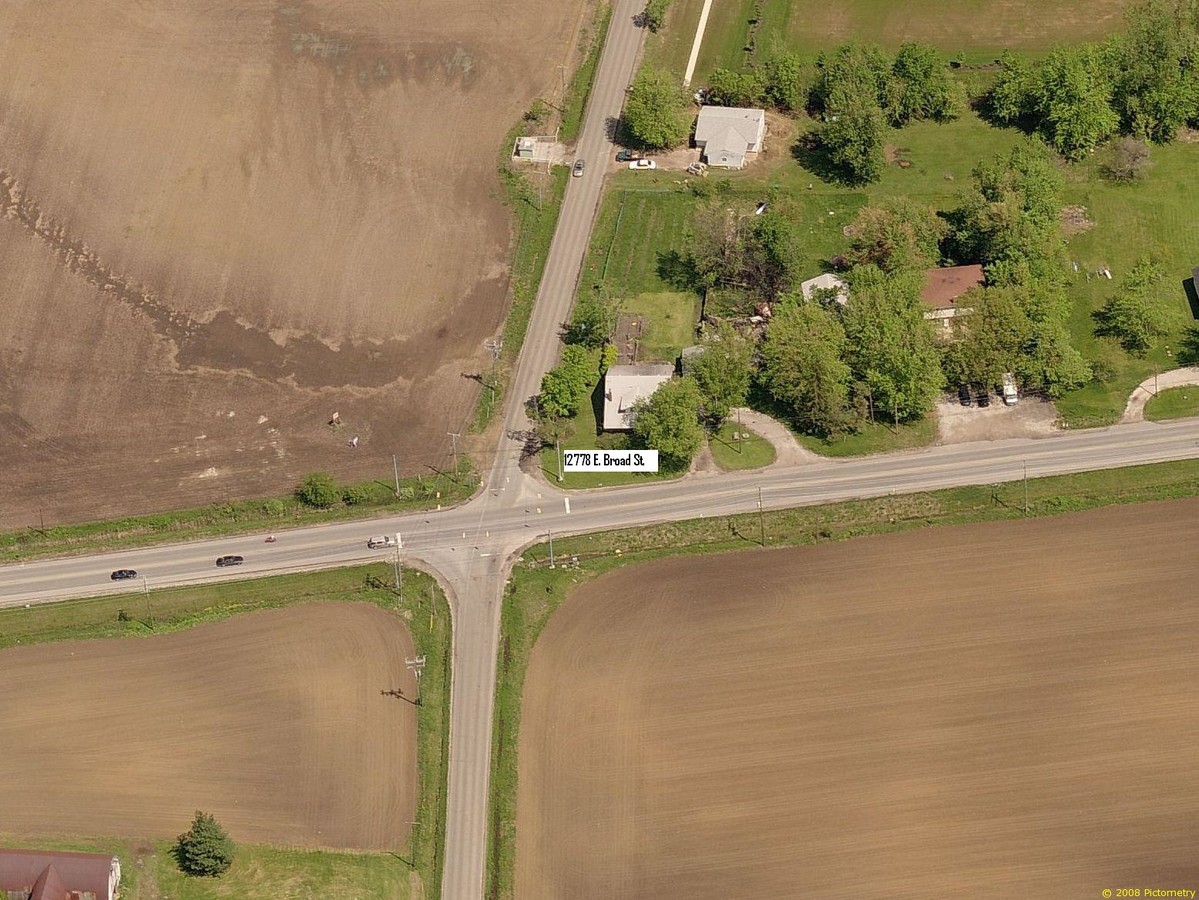
Property Record
12778 Broad St Sw, Pataskala, OH 43062

NEARBY LISTINGS FOR SALE OR LEASE
Property Detail
12778 Broad St Sw
Columbus, OH
Sw Quarter
063-140334-00.000
LOT 1 CESTA SUB (0.759 AC)
Residentialacreage
Licking
X
Ohio
39089C0426J
1
2023
0.57 AC
2023
Licking County
756500
Columbus
2,754 SF
DEMOGRAPHICS near 12778 Broad St Sw
1 Mile
3 Mile
5 Mile
2024 Total Population
1,761
29,334
93,030
2029 Population
1,880
30,393
95,486
Pop Growth 2024-2029
+ 6.76%
+ 3.61%
+ 2.64%
Average Age
42
38
38
2024 Total Households
672
10,434
33,618
HH Growth 2024-2029
+ 6.85%
+ 3.59%
+ 2.57%
Median Household Inc
$90,499
$91,235
$87,479
Avg Household Size
2.50
2.80
2.70
2024 Avg HH Vehicles
2.00
2.00
2.00
Median Home Value
$222,758
$234,160
$251,293
Median Year Built
1984
1998
1997
Nearby Places
- Restaurants
- Banks
- Shops
- Fitness
- Groceries
PUBLIC TRANSPORTATION
AIRPORT
John Glenn Columbus International
DRIVE
WALK
Distance
John Glenn Columbus International
19 min
11.4 mi
Rickenbacker International
DRIVE
WALK
Distance
Rickenbacker International
29 min
20.4 mi
Freight Ports
Port of Toledo
DRIVE
WALK
Distance
Port of Toledo
195 min
154.6 mi
SALE & LEASE HISTORY
LISTING DATE
SALE/LEASE

Sep 24, 2016
For Sale
Nearby Properties
Address
Land Use
TOTAL SIZE
Lot Size
Zoning
Address
Land Use
TOTAL SIZE
Lot Size
Zoning
1,230,350 SF
78.26 AC
Address
Land Use
TOTAL SIZE
Lot Size
Zoning
855,000 SF
96 AC
Address
Land Use
TOTAL SIZE
Lot Size
Zoning
1,014,005 SF
101.26 AC
Address
Land Use
TOTAL SIZE
Lot Size
Zoning
700,491 SF
92.80 AC
Address
Land Use
TOTAL SIZE
Lot Size
Zoning
Address
Land Use
TOTAL SIZE
Lot Size
Zoning
3,011,448 SF
75.60 AC
Address
Land Use
TOTAL SIZE
Lot Size
Zoning
978,491 SF
72.31 AC
Address
Land Use
TOTAL SIZE
Lot Size
Zoning
756,333 SF
44.37 AC
Address
Land Use
TOTAL SIZE
Lot Size
Zoning
437,569 SF
33 AC
Address
Land Use
TOTAL SIZE
Lot Size
Zoning
2,117,121 SF
107.11 AC
Address
Land Use
TOTAL SIZE
Lot Size
Zoning
524,490 SF
25.40 AC
Address
Land Use
TOTAL SIZE
Lot Size
Zoning
524,494 SF
25.67 AC
Address
Land Use
TOTAL SIZE
Lot Size
Zoning
699,016 SF
43.57 AC
Address
Land Use
TOTAL SIZE
Lot Size
Zoning
410,332 SF
21.81 AC
Address
Land Use
TOTAL SIZE
Lot Size
Zoning
512,267 SF
22.36 AC
Address
Land Use
TOTAL SIZE
Lot Size
Zoning
151,476 SF
83.45 AC
Address
Land Use
TOTAL SIZE
Lot Size
Zoning
51,968 SF
22.80 AC
Address
Land Use
TOTAL SIZE
Lot Size
Zoning
247,350 SF
28.27 AC
Address
Land Use
TOTAL SIZE
Lot Size
Zoning
303,408 SF
29.74 AC
Address
Land Use
TOTAL SIZE
Lot Size
Zoning
83,892 SF
15.80 AC
Address
Land Use
TOTAL SIZE
Lot Size
Zoning
472,029 SF
59.94 AC
Address
Land Use
TOTAL SIZE
Lot Size
Zoning
105,628 SF
17.72 AC
Address
Land Use
TOTAL SIZE
Lot Size
Zoning
379,509 SF
11.54 AC
Address
Land Use
TOTAL SIZE
Lot Size
Zoning
7,552 SF
15.41 AC
Address
Land Use
TOTAL SIZE
Lot Size
Zoning
143,397 SF
16.78 AC
Address
Land Use
TOTAL SIZE
Lot Size
Zoning
9,408 SF
12.53 AC
Address
Land Use
TOTAL SIZE
Lot Size
Zoning
168,306 SF
8.14 AC
Address
Land Use
TOTAL SIZE
Lot Size
Zoning
417,150 SF
14.83 AC
Address
Land Use
TOTAL SIZE
Lot Size
Zoning
78,136 SF
7.46 AC
Address
Land Use
TOTAL SIZE
Lot Size
Zoning
53,202 SF
38.44 AC
The World's #1 Commercial Real Estate Marketplace
Connect with us
© 2025 CoStar Group
The information above has been obtained from sources believed reliable. While we do not doubt its accuracy we have not verified it and make no guarantee, warranty or representation about it. It is your responsibility to independently confirm its accuracy and completeness. Any projections, opinions, assumptions, or estimates used are for example only and do not represent the current or future performance of the property. The value of this transaction to you depends on tax and other factors which should be evaluated by your tax, financial, and legal advisors. You and your advisors should conduct a careful, independent investigation of the property to determine to your satisfaction the suitability of the property for your needs.