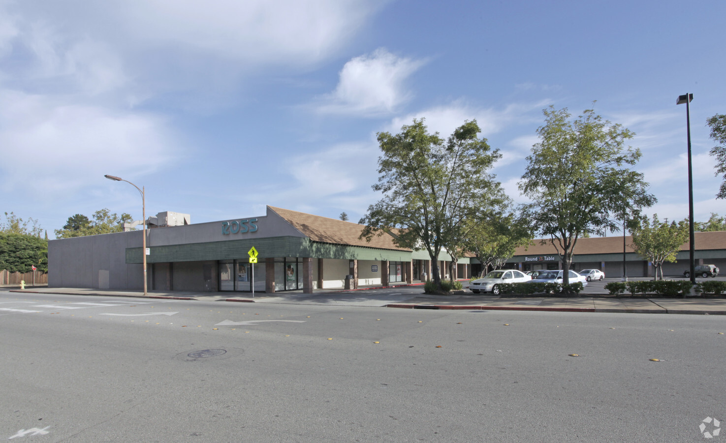
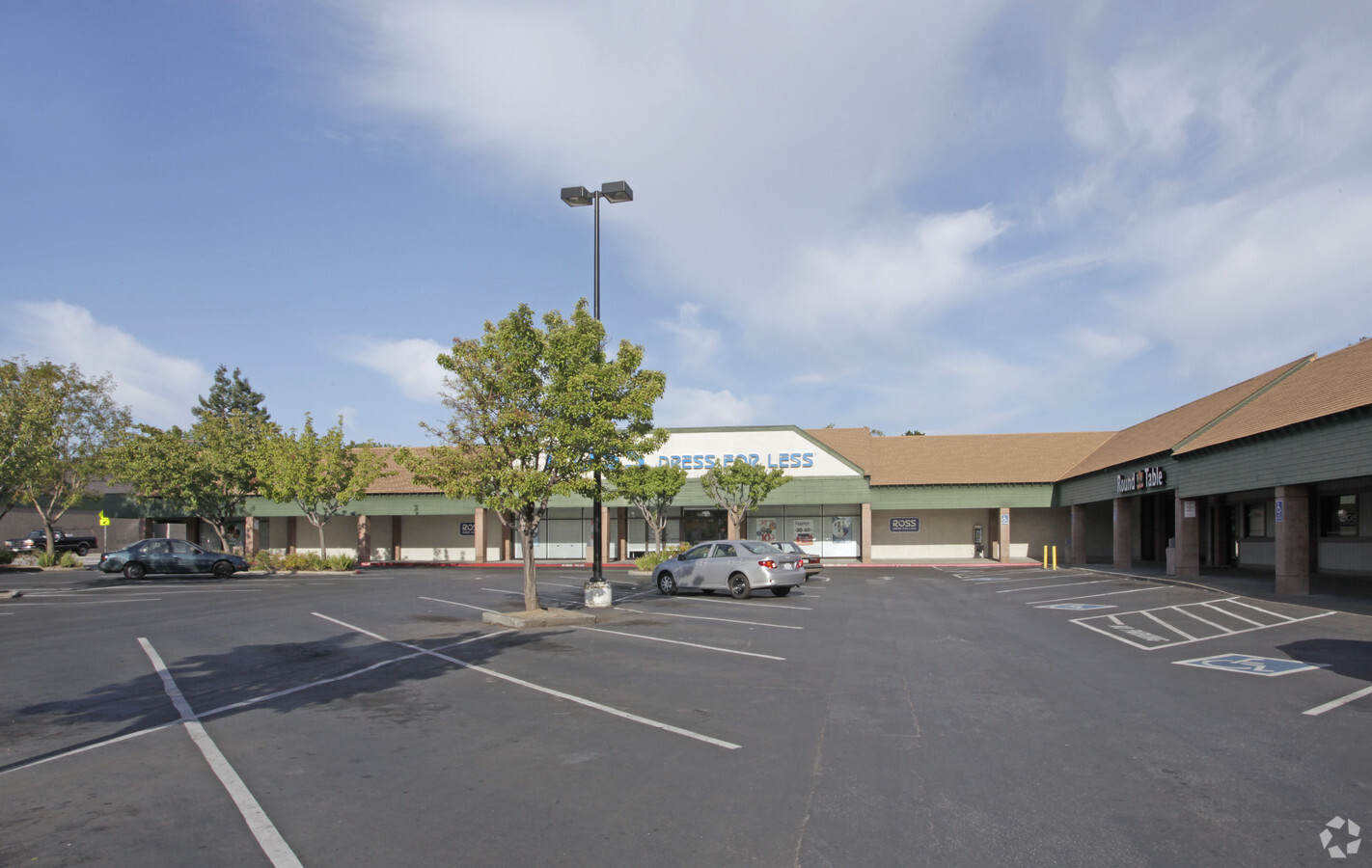
Property Record
150 Woodside Plz, Redwood City, CA 94061
NEARBY LISTINGS FOR SALE OR LEASE
Property Detail
150 Woodside Plz
San Francisco-Redwood City-South San Francisco, CA
Terrace Shopping Center Amend
069-112-300
LOTS 1 & 10 BLK 2 TERRACE SHOPPING CENTER AMEND RSM 34/21 22 CITY OF REDWOOD CITY
Regionalshoppingcenterormallwithanchorstore
San Mateo
X
California
06081C0303E
1,10
2023
0.80 AC
2023
Redwood City
611200
San Francisco
33,916 SF
DEMOGRAPHICS near 150 Woodside Plz
1 Mile
3 Mile
5 Mile
2024 Total Population
21,420
129,972
231,908
2029 Population
20,453
124,555
222,651
Pop Growth 2024-2029
(4.51%)
(4.17%)
(3.99%)
Average Age
42
41
40
2024 Total Households
7,879
46,445
81,170
HH Growth 2024-2029
(4.78%)
(4.24%)
(4.01%)
Median Household Inc
$150,127
$148,925
$147,964
Avg Household Size
2.60
2.70
2.60
2024 Avg HH Vehicles
2.00
2.00
2.00
Median Home Value
$1,137,226
$1,132,397
$1,133,985
Median Year Built
1959
1963
1964
Nearby Places
- Restaurants
- Banks
- Shops
- Fitness
- Groceries
PUBLIC TRANSPORTATION
COMMUTER RAIL
Redwood City (Caltrain - Caltrain (Caltrain))
DRIVE
WALK
Distance
Redwood City (Caltrain - Caltrain (Caltrain))
7 min
2.7 mi
Menlo Park (Caltrain - Caltrain (Caltrain))
DRIVE
WALK
Distance
Menlo Park (Caltrain - Caltrain (Caltrain))
10 min
4.2 mi
AIRPORT
San Francisco International
DRIVE
WALK
Distance
San Francisco International
26 min
17.2 mi
Norman Y Mineta San Jose International
DRIVE
WALK
Distance
Norman Y Mineta San Jose International
30 min
21.2 mi
Metro Oakland International
DRIVE
WALK
Distance
Metro Oakland International
44 min
32.9 mi
Freight Ports
Port of Redwood City
DRIVE
WALK
Distance
Port of Redwood City
10 min
3.9 mi
Nearby Properties
Address
Land Use
TOTAL SIZE
Lot Size
Zoning
Address
Land Use
TOTAL SIZE
Lot Size
Zoning
182,606 SF
16.48 AC
EAC01C
Address
Land Use
TOTAL SIZE
Lot Size
Zoning
Address
Land Use
TOTAL SIZE
Lot Size
Zoning
373,238 SF
7.94 AC
Address
Land Use
TOTAL SIZE
Lot Size
Zoning
Address
Land Use
TOTAL SIZE
Lot Size
Zoning
330,071 SF
1.64 AC
Address
Land Use
TOTAL SIZE
Lot Size
Zoning
8.31 AC
EA00CA
Address
Land Use
TOTAL SIZE
Lot Size
Zoning
118,168 SF
10.94 AC
EA0C1C
Address
Land Use
TOTAL SIZE
Lot Size
Zoning
458,111 SF
2.26 AC
Address
Land Use
TOTAL SIZE
Lot Size
Zoning
Address
Land Use
TOTAL SIZE
Lot Size
Zoning
378,534 SF
2.24 AC
Address
Land Use
TOTAL SIZE
Lot Size
Zoning
395,625 SF
5.08 AC
Address
Land Use
TOTAL SIZE
Lot Size
Zoning
169,391 SF
12.88 AC
EAC01C
Address
Land Use
TOTAL SIZE
Lot Size
Zoning
61.20 AC
R10000
Address
Land Use
TOTAL SIZE
Lot Size
Zoning
328,024 SF
10.60 AC
Address
Land Use
TOTAL SIZE
Lot Size
Zoning
368,000 SF
11.32 AC
Address
Land Use
TOTAL SIZE
Lot Size
Zoning
16.43 AC
Address
Land Use
TOTAL SIZE
Lot Size
Zoning
262,189 SF
1.16 AC
Address
Land Use
TOTAL SIZE
Lot Size
Zoning
366,384 SF
3.25 AC
Address
Land Use
TOTAL SIZE
Lot Size
Zoning
249,198 SF
1.14 AC
Address
Land Use
TOTAL SIZE
Lot Size
Zoning
170,495 SF
7.15 AC
Address
Land Use
TOTAL SIZE
Lot Size
Zoning
135,070 SF
5.27 AC
Address
Land Use
TOTAL SIZE
Lot Size
Zoning
221,200 SF
0.77 AC
Address
Land Use
TOTAL SIZE
Lot Size
Zoning
140,948 SF
7.71 AC
EAC01C
Address
Land Use
TOTAL SIZE
Lot Size
Zoning
48,125 SF
2.50 AC
EAC01X
Address
Land Use
TOTAL SIZE
Lot Size
Zoning
6,290 SF
1.31 AC
Address
Land Use
TOTAL SIZE
Lot Size
Zoning
Address
Land Use
TOTAL SIZE
Lot Size
Zoning
210,000 SF
5.24 AC
Address
Land Use
TOTAL SIZE
Lot Size
Zoning
135,896 SF
2.55 AC
CH00CG
Address
Land Use
TOTAL SIZE
Lot Size
Zoning
101,485 SF
0.70 AC
Address
Land Use
TOTAL SIZE
Lot Size
Zoning
215,642 SF
2.28 AC
The World's #1 Commercial Real Estate Marketplace
Connect with us
© 2025 CoStar Group
The information above has been obtained from sources believed reliable. While we do not doubt its accuracy we have not verified it and make no guarantee, warranty or representation about it. It is your responsibility to independently confirm its accuracy and completeness. Any projections, opinions, assumptions, or estimates used are for example only and do not represent the current or future performance of the property. The value of this transaction to you depends on tax and other factors which should be evaluated by your tax, financial, and legal advisors. You and your advisors should conduct a careful, independent investigation of the property to determine to your satisfaction the suitability of the property for your needs.