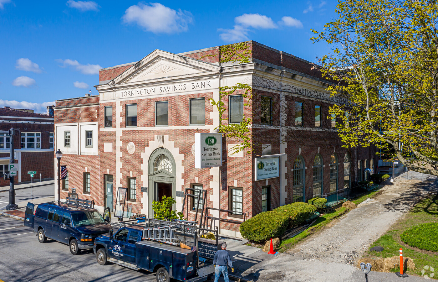
Property Record
129 Main St, Torrington, CT 06790


NEARBY LISTINGS FOR SALE OR LEASE
Property Detail
129 Main St
Torrington, CT
Litchfield
TORR-000117-000016-000002
Connecticut
Commercialnec
2
2024
0.27 AC
2024
Torrington
310200
Hartford
7,200 SF
DEMOGRAPHICS near 129 Main St
1 Mile
3 Mile
5 Mile
2024 Total Population
15,309
33,501
41,790
2029 Population
15,221
33,372
41,690
Pop Growth 2024-2029
(0.57%)
(0.39%)
(0.24%)
Average Age
41
43
44
2024 Total Households
6,960
14,777
18,063
HH Growth 2024-2029
(0.52%)
(0.37%)
(0.23%)
Median Household Inc
$53,174
$63,191
$68,963
Avg Household Size
2.10
2.20
2.20
2024 Avg HH Vehicles
2.00
2.00
2.00
Median Home Value
$152,345
$178,380
$196,206
Median Year Built
1947
1957
1961
Nearby Places
- Restaurants
- Banks
- Shops
- Fitness
- Groceries
PUBLIC TRANSPORTATION
AIRPORT
Bradley International
DRIVE
WALK
Distance
Bradley International
57 min
33.7 mi
Freight Ports
Port of New Haven
DRIVE
WALK
Distance
Port of New Haven
63 min
45.2 mi
Nearby Properties
Address
Land Use
TOTAL SIZE
Lot Size
Zoning
Address
Land Use
TOTAL SIZE
Lot Size
Zoning
233,128 SF
34.77 AC
R6
Address
Land Use
TOTAL SIZE
Lot Size
Zoning
173,512 SF
3.49 AC
I
Address
Land Use
TOTAL SIZE
Lot Size
Zoning
119.90 AC
R6
Address
Land Use
TOTAL SIZE
Lot Size
Zoning
111,459 SF
16.72 AC
R15
Address
Land Use
TOTAL SIZE
Lot Size
Zoning
142,840 SF
13.80 AC
R6
Address
Land Use
TOTAL SIZE
Lot Size
Zoning
10.80 AC
R10S
Address
Land Use
TOTAL SIZE
Lot Size
Zoning
86,564 SF
4.78 AC
R6
Address
Land Use
TOTAL SIZE
Lot Size
Zoning
15.03 AC
DD
Address
Land Use
TOTAL SIZE
Lot Size
Zoning
396.22 AC
R-1
Address
Land Use
TOTAL SIZE
Lot Size
Zoning
128,711 SF
18.50 AC
LB
Address
Land Use
TOTAL SIZE
Lot Size
Zoning
85,628 SF
4.25 AC
R6
Address
Land Use
TOTAL SIZE
Lot Size
Zoning
68,011 SF
9.83 AC
R10S
Address
Land Use
TOTAL SIZE
Lot Size
Zoning
131,925 SF
12.51 AC
DD
Address
Land Use
TOTAL SIZE
Lot Size
Zoning
126,465 SF
4.30 AC
DD
Address
Land Use
TOTAL SIZE
Lot Size
Zoning
3.90 AC
B1
Address
Land Use
TOTAL SIZE
Lot Size
Zoning
75,562 SF
7.32 AC
R15S
Address
Land Use
TOTAL SIZE
Lot Size
Zoning
13,576 SF
12.80 AC
R10
Address
Land Use
TOTAL SIZE
Lot Size
Zoning
56,519 SF
11.41 AC
LB
Address
Land Use
TOTAL SIZE
Lot Size
Zoning
20,365 SF
18.92 AC
R15S
Address
Land Use
TOTAL SIZE
Lot Size
Zoning
36.55 AC
CIR
Address
Land Use
TOTAL SIZE
Lot Size
Zoning
74,041 SF
7.60 AC
R15S
Address
Land Use
TOTAL SIZE
Lot Size
Zoning
39,111 SF
0.63 AC
DD-R
Address
Land Use
TOTAL SIZE
Lot Size
Zoning
165,290 SF
19.10 AC
LB
Address
Land Use
TOTAL SIZE
Lot Size
Zoning
42,676 SF
3.19 AC
R6
Address
Land Use
TOTAL SIZE
Lot Size
Zoning
22,852 SF
10.99 AC
C202
Address
Land Use
TOTAL SIZE
Lot Size
Zoning
5.41 AC
IP
Address
Land Use
TOTAL SIZE
Lot Size
Zoning
68,192 SF
1.76 AC
DD
Address
Land Use
TOTAL SIZE
Lot Size
Zoning
5.17 AC
LB
Address
Land Use
TOTAL SIZE
Lot Size
Zoning
25,393 SF
12.60 AC
R10S
The World's #1 Commercial Real Estate Marketplace
Connect with us
© 2025 CoStar Group
The information above has been obtained from sources believed reliable. While we do not doubt its accuracy we have not verified it and make no guarantee, warranty or representation about it. It is your responsibility to independently confirm its accuracy and completeness. Any projections, opinions, assumptions, or estimates used are for example only and do not represent the current or future performance of the property. The value of this transaction to you depends on tax and other factors which should be evaluated by your tax, financial, and legal advisors. You and your advisors should conduct a careful, independent investigation of the property to determine to your satisfaction the suitability of the property for your needs.