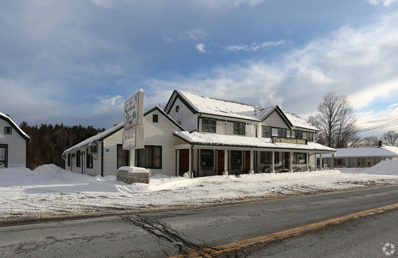
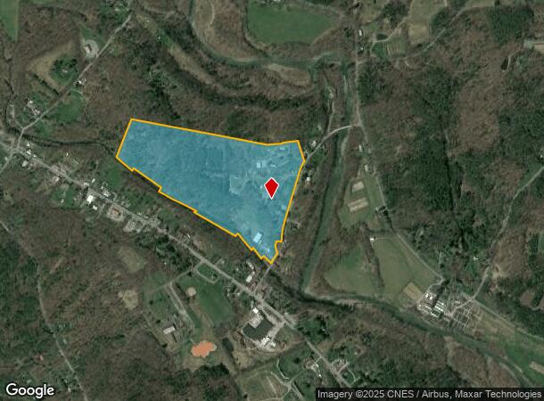
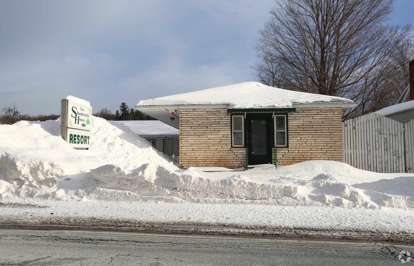
Property Record
129 Route 67A, East Durham, NY 12423
NEARBY LISTINGS FOR SALE OR LEASE
-
-
View all East Durham listings for sale on LoopNet.com
Property Detail
129 Route 67A
Motel
Greene
A
New York
36039C0230F
28.000
2024
54 AC
2023
New York Southeast Area
080202
Albany/Schenectady/Troy
2,208 SF
193000-035-003-0001-028-000-0000
DEMOGRAPHICS near 129 Route 67A
1 Mile
3 Mile
5 Mile
2024 Total Population
473
3,010
7,441
2029 Population
494
3,109
7,645
Pop Growth 2024-2029
+ 4.44%
+ 3.29%
+ 2.74%
Average Age
45
44
44
2024 Total Households
201
1,266
3,187
HH Growth 2024-2029
+ 3.98%
+ 3.24%
+ 2.60%
Median Household Inc
$66,785
$73,049
$72,552
Avg Household Size
2.30
2.30
2.30
2024 Avg HH Vehicles
2.00
2.00
2.00
Median Home Value
$192,156
$192,837
$193,456
Median Year Built
1980
1978
1976
Nearby Places
- Restaurants
- Banks
- Shops
- Fitness
- Groceries
PUBLIC TRANSPORTATION
AIRPORT
Albany International
DRIVE
WALK
Distance
Albany International
67 min
41.5 mi
Freight Ports
Albany, NY Port
DRIVE
WALK
Distance
Albany, NY Port
49 min
30.8 mi
Nearby Properties
Address
Land Use
TOTAL SIZE
Lot Size
Zoning
Address
Land Use
TOTAL SIZE
Lot Size
Zoning
80,550 SF
71 AC
01 - NOT Z
Address
Land Use
TOTAL SIZE
Lot Size
Zoning
110,538 SF
45 AC
01 - NOT Z
Address
Land Use
TOTAL SIZE
Lot Size
Zoning
Address
Land Use
TOTAL SIZE
Lot Size
Zoning
2.25 AC
06 - INDUS
Address
Land Use
TOTAL SIZE
Lot Size
Zoning
Address
Land Use
TOTAL SIZE
Lot Size
Zoning
8,768 SF
30.80 AC
01 - NOT Z
Address
Land Use
TOTAL SIZE
Lot Size
Zoning
3,520 SF
59 AC
01 - NOT Z
Address
Land Use
TOTAL SIZE
Lot Size
Zoning
9,680 SF
2.52 AC
03 - MULTI
Address
Land Use
TOTAL SIZE
Lot Size
Zoning
2,416 SF
50 AC
01 - NOT Z
Address
Land Use
TOTAL SIZE
Lot Size
Zoning
3,528 SF
11.12 AC
01 - NOT Z
Address
Land Use
TOTAL SIZE
Lot Size
Zoning
15,624 SF
1.38 AC
03 - MULTI
Address
Land Use
TOTAL SIZE
Lot Size
Zoning
4,216 SF
2 AC
01 - NOT Z
Address
Land Use
TOTAL SIZE
Lot Size
Zoning
4,096 SF
11 AC
01 - NOT Z
Address
Land Use
TOTAL SIZE
Lot Size
Zoning
13,240 SF
20.76 AC
02 - SINGL
Address
Land Use
TOTAL SIZE
Lot Size
Zoning
76 AC
01
Address
Land Use
TOTAL SIZE
Lot Size
Zoning
5,632 SF
4.40 AC
06 - INDUS
Address
Land Use
TOTAL SIZE
Lot Size
Zoning
10,280 SF
11 AC
01 - NOT Z
Address
Land Use
TOTAL SIZE
Lot Size
Zoning
6,250 SF
30.52 AC
02 - SINGL
Address
Land Use
TOTAL SIZE
Lot Size
Zoning
11,776 SF
1.30 AC
01 - NOT Z
Address
Land Use
TOTAL SIZE
Lot Size
Zoning
12,508 SF
3 AC
03 - MULTI
Address
Land Use
TOTAL SIZE
Lot Size
Zoning
2,430 SF
7.86 AC
01 - NOT Z
Address
Land Use
TOTAL SIZE
Lot Size
Zoning
Address
Land Use
TOTAL SIZE
Lot Size
Zoning
4,800 SF
5.40 AC
01 - NOT Z
Address
Land Use
TOTAL SIZE
Lot Size
Zoning
1,620 SF
145.80 AC
01 - NOT Z
Address
Land Use
TOTAL SIZE
Lot Size
Zoning
5,888 SF
6.44 AC
01 - NOT Z
Address
Land Use
TOTAL SIZE
Lot Size
Zoning
6,704 SF
2.20 AC
03 - MULTI
Address
Land Use
TOTAL SIZE
Lot Size
Zoning
5,936 SF
0.27 AC
03 - MULTI
Address
Land Use
TOTAL SIZE
Lot Size
Zoning
4,680 SF
3.62 AC
03 - MULTI
Address
Land Use
TOTAL SIZE
Lot Size
Zoning
520 SF
7.35 AC
01 - NOT Z
The World's #1 Commercial Real Estate Marketplace
Connect with us
© 2025 CoStar Group
The information above has been obtained from sources believed reliable. While we do not doubt its accuracy we have not verified it and make no guarantee, warranty or representation about it. It is your responsibility to independently confirm its accuracy and completeness. Any projections, opinions, assumptions, or estimates used are for example only and do not represent the current or future performance of the property. The value of this transaction to you depends on tax and other factors which should be evaluated by your tax, financial, and legal advisors. You and your advisors should conduct a careful, independent investigation of the property to determine to your satisfaction the suitability of the property for your needs.