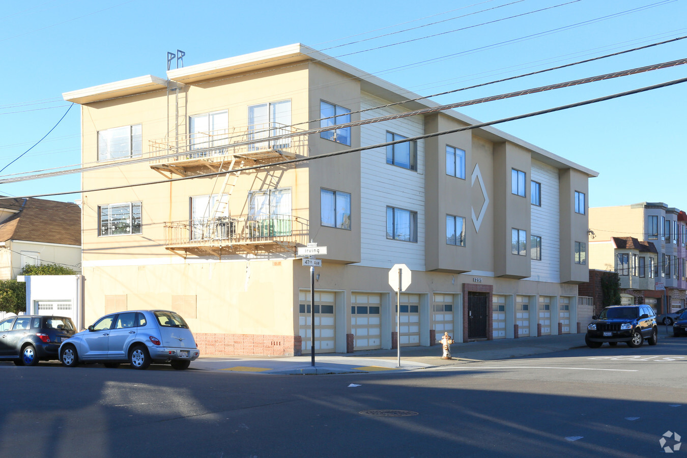
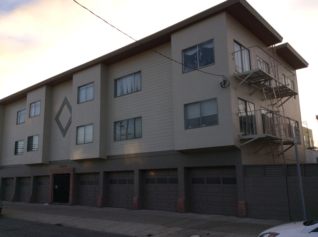
Property Record
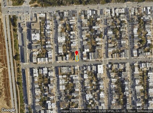
1295 47Th Ave, San Francisco, CA 94122

NEARBY LISTINGS FOR SALE OR LEASE
Property Detail
1295 47Th Ave
San Francisco-Redwood City-South San Francisco, CA
Outside Land Bl 626
1703-017
San Francisco
Apartment
California
2023
17
2023
0.08 AC
035202
Outer Sunset
8,028 SF
San Francisco
DEMOGRAPHICS near 1295 47Th Ave
1 Mile
3 Mile
5 Mile
2024 Total Population
25,935
168,730
504,358
2029 Population
23,689
155,405
466,125
Pop Growth 2024-2029
(8.66%)
(7.90%)
(7.58%)
Average Age
44
44
43
2024 Total Households
9,648
65,671
208,975
HH Growth 2024-2029
(9.21%)
(8.37%)
(7.95%)
Median Household Inc
$118,756
$130,636
$137,863
Avg Household Size
2.60
2.50
2.30
2024 Avg HH Vehicles
2.00
1.00
1.00
Median Home Value
$1,108,437
$1,120,839
$1,108,116
Median Year Built
1947
1947
1948
Nearby Places
- Restaurants
- Banks
- Shops
- Fitness
- Groceries
PUBLIC TRANSPORTATION
TRANSIT/SUBWAY
Judah And 48Th Avenue (N Judah - San Francisco Municipal Railway (MUNI Metro))
DRIVE
WALK
Distance
Judah And 48Th Avenue (N Judah - San Francisco Municipal Railway (MUNI Metro))
0 min
3 min
0.2 mi
Judah And 46Th Avenue (N Judah - San Francisco Municipal Railway (MUNI Metro))
DRIVE
WALK
Distance
Judah And 46Th Avenue (N Judah - San Francisco Municipal Railway (MUNI Metro))
0 min
4 min
0.2 mi
Ocean Beach (N Judah - San Francisco Municipal Railway (MUNI Metro))
DRIVE
WALK
Distance
Ocean Beach (N Judah - San Francisco Municipal Railway (MUNI Metro))
0 min
4 min
0.3 mi
Judah And 43Rd Avenue (N Judah - San Francisco Municipal Railway (MUNI Metro))
DRIVE
WALK
Distance
Judah And 43Rd Avenue (N Judah - San Francisco Municipal Railway (MUNI Metro))
1 min
7 min
0.4 mi
Judah And 40Th Avenue (N Judah - San Francisco Municipal Railway (MUNI Metro))
DRIVE
WALK
Distance
Judah And 40Th Avenue (N Judah - San Francisco Municipal Railway (MUNI Metro))
1 min
10 min
0.6 mi
COMMUTER RAIL
San Francisco 4Th & King (Caltrain - Caltrain (Caltrain))
DRIVE
WALK
Distance
San Francisco 4Th & King (Caltrain - Caltrain (Caltrain))
16 min
6.8 mi
22Nd Street (Caltrain - Caltrain (Caltrain))
DRIVE
WALK
Distance
22Nd Street (Caltrain - Caltrain (Caltrain))
16 min
7.4 mi
AIRPORT
San Francisco International
DRIVE
WALK
Distance
San Francisco International
28 min
15.8 mi
Metro Oakland International
DRIVE
WALK
Distance
Metro Oakland International
43 min
25.8 mi
Freight Ports
Port of San Francisco
DRIVE
WALK
Distance
Port of San Francisco
19 min
7.7 mi
SALE & LEASE HISTORY
LISTING DATE
SALE/LEASE

Feb 27, 2020
For Sale
Feb 22, 2018
For Sale
Nearby Properties
Address
Land Use
TOTAL SIZE
Lot Size
Zoning
Address
Land Use
TOTAL SIZE
Lot Size
Zoning
411,904 SF
21.74 AC
C2
Address
Land Use
TOTAL SIZE
Lot Size
Zoning
419,790 SF
3 AC
M1
Address
Land Use
TOTAL SIZE
Lot Size
Zoning
2.03 AC
C2
Address
Land Use
TOTAL SIZE
Lot Size
Zoning
230,310 SF
0.65 AC
NC3
Address
Land Use
TOTAL SIZE
Lot Size
Zoning
88,900 SF
5.37 AC
NCS
Address
Land Use
TOTAL SIZE
Lot Size
Zoning
90,539 SF
2.28 AC
RH2
Address
Land Use
TOTAL SIZE
Lot Size
Zoning
176,000 SF
1.64 AC
C2
Address
Land Use
TOTAL SIZE
Lot Size
Zoning
146,036 SF
0.49 AC
RH3
Address
Land Use
TOTAL SIZE
Lot Size
Zoning
76,000 SF
1.48 AC
RM4
Address
Land Use
TOTAL SIZE
Lot Size
Zoning
54,131 SF
1.75 AC
C2
Address
Land Use
TOTAL SIZE
Lot Size
Zoning
70,120 SF
6.35 AC
RM2
Address
Land Use
TOTAL SIZE
Lot Size
Zoning
194,477 SF
11.37 AC
RH1
Address
Land Use
TOTAL SIZE
Lot Size
Zoning
205,770 SF
3.37 AC
RM4
Address
Land Use
TOTAL SIZE
Lot Size
Zoning
81,756 SF
5.39 AC
RH1D
Address
Land Use
TOTAL SIZE
Lot Size
Zoning
0.40 AC
NC3
Address
Land Use
TOTAL SIZE
Lot Size
Zoning
13,300 SF
6.38 AC
C2
Address
Land Use
TOTAL SIZE
Lot Size
Zoning
52,000 SF
2.32 AC
NCS
Address
Land Use
TOTAL SIZE
Lot Size
Zoning
34,253 SF
1.65 AC
NCS
Address
Land Use
TOTAL SIZE
Lot Size
Zoning
96,000 SF
0.62 AC
NC3
Address
Land Use
TOTAL SIZE
Lot Size
Zoning
32,692 SF
1.65 AC
RH1D
Address
Land Use
TOTAL SIZE
Lot Size
Zoning
37,747 SF
3.31 AC
NCS
Address
Land Use
TOTAL SIZE
Lot Size
Zoning
86,651 SF
7.26 AC
RH1
Address
Land Use
TOTAL SIZE
Lot Size
Zoning
23,100 SF
1.40 AC
NCS
Address
Land Use
TOTAL SIZE
Lot Size
Zoning
29,775 SF
0.46 AC
NC1
Address
Land Use
TOTAL SIZE
Lot Size
Zoning
4,669 SF
0.28 AC
NC2
Address
Land Use
TOTAL SIZE
Lot Size
Zoning
71,750 SF
0.80 AC
NC3
Address
Land Use
TOTAL SIZE
Lot Size
Zoning
34,176 SF
1.20 AC
NC2
Address
Land Use
TOTAL SIZE
Lot Size
Zoning
50,180 SF
3.26 AC
RH1D
Address
Land Use
TOTAL SIZE
Lot Size
Zoning
250,555 SF
1.53 AC
C2
Address
Land Use
TOTAL SIZE
Lot Size
Zoning
50,814 SF
0.41 AC
RH2
The World's #1 Commercial Real Estate Marketplace
Connect with us
© 2025 CoStar Group
The information above has been obtained from sources believed reliable. While we do not doubt its accuracy we have not verified it and make no guarantee, warranty or representation about it. It is your responsibility to independently confirm its accuracy and completeness. Any projections, opinions, assumptions, or estimates used are for example only and do not represent the current or future performance of the property. The value of this transaction to you depends on tax and other factors which should be evaluated by your tax, financial, and legal advisors. You and your advisors should conduct a careful, independent investigation of the property to determine to your satisfaction the suitability of the property for your needs.