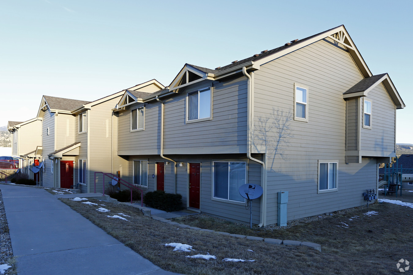
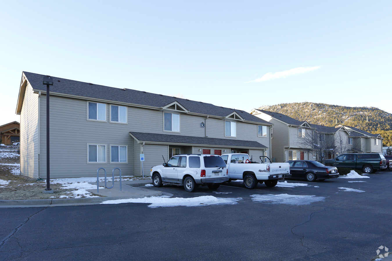
Property Record
1310 Manford Ave, Estes Park, CO 80517

NEARBY LISTINGS FOR SALE OR LEASE
-
-
View all Estes Park listings for sale on LoopNet.com
Property Detail
1310 Manford Ave
Fort Collins, CO
Manford
25304-05-939
TR IN SE 1/4 30-5-72 DESC: COM AT CEN 1/4 COR, S 89 11 E 1297.18 FT ALG N LN TO NE COR OF W 1/2 OF SE 1/4, S 0 0 21 W 640.55 FT ALG E LN OF W 1/2 OF SE 1/4 TPOB, S 0 0 21 W 411.31 FT ALG SD E LN TO PT ON N ROW GRAVES AVE, W 404.45 FT TO SE COR DE VIL
Municipalproperty
Larimer
X
Colorado
08013C0050J
5
0
5 AC
2025
Larimer County
002804
Denver
55,690 SF
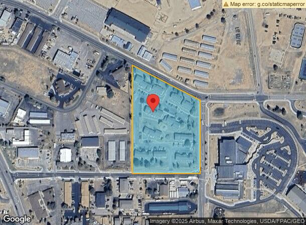
DEMOGRAPHICS near 1310 Manford Ave
1 Mile
3 Mile
5 Mile
2024 Total Population
3,576
11,050
12,835
2029 Population
3,915
12,130
14,076
Pop Growth 2024-2029
+ 9.48%
+ 9.77%
+ 9.67%
Average Age
49
50
50
2024 Total Households
1,664
5,092
5,853
HH Growth 2024-2029
+ 9.74%
+ 10.11%
+ 10.05%
Median Household Inc
$57,992
$72,440
$74,081
Avg Household Size
2.10
2.10
2.10
2024 Avg HH Vehicles
2.00
2.00
2.00
Median Home Value
$627,813
$646,125
$649,901
Median Year Built
1983
1984
1982
Nearby Places
- Restaurants
- Banks
- Shops
- Fitness
- Groceries
Nearby Properties
Address
Land Use
TOTAL SIZE
Lot Size
Zoning
Address
Land Use
TOTAL SIZE
Lot Size
Zoning
23,838 SF
629 AC
RE1
Address
Land Use
TOTAL SIZE
Lot Size
Zoning
130,162 SF
34.35 AC
Address
Land Use
TOTAL SIZE
Lot Size
Zoning
142,497 SF
13.91 AC
Address
Land Use
TOTAL SIZE
Lot Size
Zoning
37,466 SF
3.53 AC
Address
Land Use
TOTAL SIZE
Lot Size
Zoning
99,837 SF
3.91 AC
Address
Land Use
TOTAL SIZE
Lot Size
Zoning
45,000 SF
6.88 AC
Address
Land Use
TOTAL SIZE
Lot Size
Zoning
45,229 SF
3.80 AC
Address
Land Use
TOTAL SIZE
Lot Size
Zoning
44,531 SF
3.33 AC
Address
Land Use
TOTAL SIZE
Lot Size
Zoning
54,061 SF
5.55 AC
Address
Land Use
TOTAL SIZE
Lot Size
Zoning
51,044 SF
3.26 AC
Address
Land Use
TOTAL SIZE
Lot Size
Zoning
88,668 SF
4.16 AC
Address
Land Use
TOTAL SIZE
Lot Size
Zoning
17,933 SF
2.58 AC
Address
Land Use
TOTAL SIZE
Lot Size
Zoning
76,952 SF
1.95 AC
Address
Land Use
TOTAL SIZE
Lot Size
Zoning
22,800 SF
10.50 AC
Address
Land Use
TOTAL SIZE
Lot Size
Zoning
9,510 SF
30.68 AC
T
Address
Land Use
TOTAL SIZE
Lot Size
Zoning
35,430 SF
39.15 AC
O
Address
Land Use
TOTAL SIZE
Lot Size
Zoning
20,112 SF
1.89 AC
Address
Land Use
TOTAL SIZE
Lot Size
Zoning
7,495 SF
49 AC
Address
Land Use
TOTAL SIZE
Lot Size
Zoning
61,320 SF
5.87 AC
Address
Land Use
TOTAL SIZE
Lot Size
Zoning
22,864 SF
4.02 AC
Address
Land Use
TOTAL SIZE
Lot Size
Zoning
19,308 SF
1.34 AC
Address
Land Use
TOTAL SIZE
Lot Size
Zoning
41,084 SF
4.19 AC
Address
Land Use
TOTAL SIZE
Lot Size
Zoning
17,218 SF
2.47 AC
Address
Land Use
TOTAL SIZE
Lot Size
Zoning
5,747 SF
12 AC
A
Address
Land Use
TOTAL SIZE
Lot Size
Zoning
34,406 SF
6.70 AC
Address
Land Use
TOTAL SIZE
Lot Size
Zoning
21,351 SF
28.90 AC
Address
Land Use
TOTAL SIZE
Lot Size
Zoning
23,362 SF
5.54 AC
Address
Land Use
TOTAL SIZE
Lot Size
Zoning
18,447 SF
4.05 AC
Address
Land Use
TOTAL SIZE
Lot Size
Zoning
29,800 SF
1.55 AC
The World's #1 Commercial Real Estate Marketplace
Connect with us
© 2025 CoStar Group
The information above has been obtained from sources believed reliable. While we do not doubt its accuracy we have not verified it and make no guarantee, warranty or representation about it. It is your responsibility to independently confirm its accuracy and completeness. Any projections, opinions, assumptions, or estimates used are for example only and do not represent the current or future performance of the property. The value of this transaction to you depends on tax and other factors which should be evaluated by your tax, financial, and legal advisors. You and your advisors should conduct a careful, independent investigation of the property to determine to your satisfaction the suitability of the property for your needs.