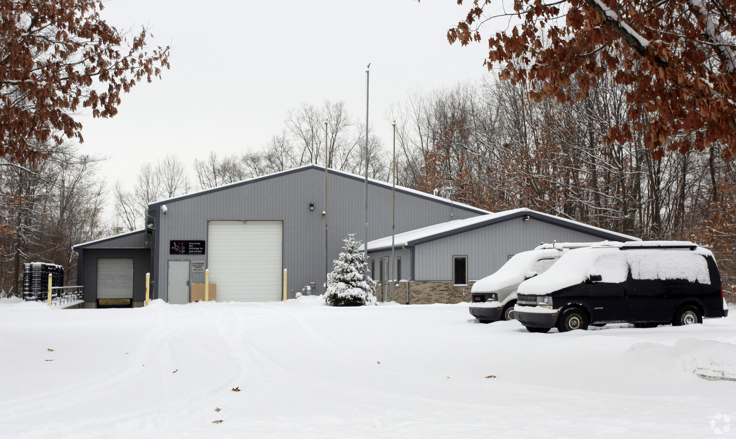
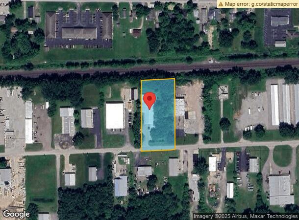
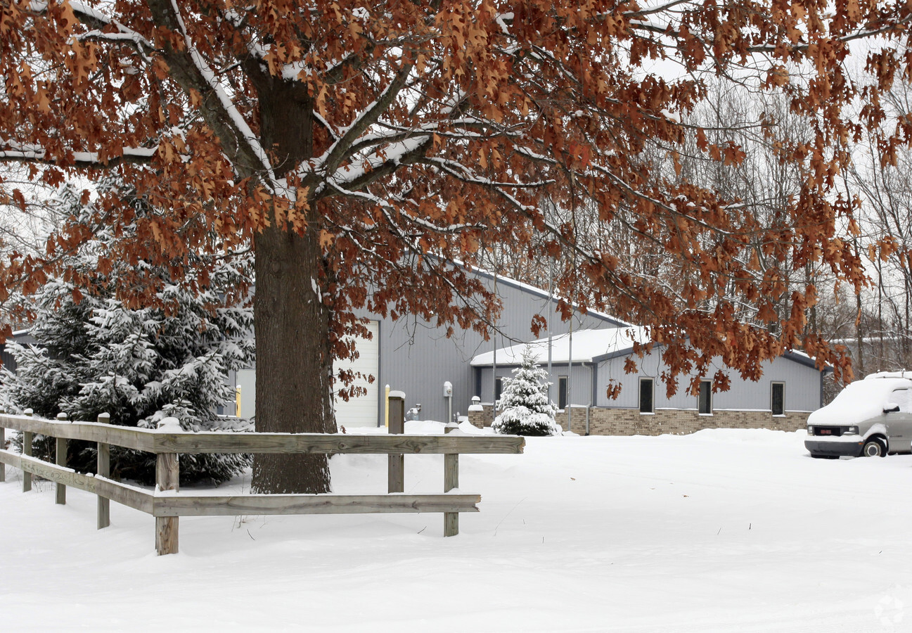
Property Record
1326 3Rd St, Osceola, IN 46561
NEARBY LISTINGS FOR SALE OR LEASE
Property Detail
1326 3Rd St
71-10-17-252-006.000-030
206.50 E & W X 422.31 N & S BEG 594.16 N & 206.30 W SE COR SW NE CONT 2 AC SEC 17 37 4E
Warehouse
St Joseph
X
Indiana
18141C0237E
1.97 AC
2022
Mishawaka
2023
South Bend/Mishawaka
011602
South Bend-Mishawaka, IN-MI
14,076 SF
DEMOGRAPHICS near 1326 3Rd St
1 Mile
3 Mile
5 Mile
2024 Total Population
3,721
26,857
67,293
2029 Population
3,676
26,533
66,757
Pop Growth 2024-2029
(1.21%)
(1.21%)
(0.80%)
Average Age
40
40
39
2024 Total Households
1,448
10,122
26,224
HH Growth 2024-2029
(1.31%)
(1.29%)
(0.84%)
Median Household Inc
$64,251
$75,842
$65,355
Avg Household Size
2.50
2.60
2.50
2024 Avg HH Vehicles
2.00
2.00
2.00
Median Home Value
$174,452
$179,015
$168,380
Median Year Built
1965
1975
1975
Nearby Places
- Restaurants
- Banks
- Shops
- Fitness
- Groceries
PUBLIC TRANSPORTATION
COMMUTER RAIL
Elkhart Amtrak Station (Capitol Limited - Amtrak, Lake Shore Limited - Amtrak)
DRIVE
WALK
Distance
Elkhart Amtrak Station (Capitol Limited - Amtrak, Lake Shore Limited - Amtrak)
12 min
6.5 mi
AIRPORT
South Bend International
DRIVE
WALK
Distance
South Bend International
34 min
15.6 mi
Freight Ports
Port Milwaukee
DRIVE
WALK
Distance
Port Milwaukee
231 min
191.5 mi
Nearby Properties
Address
Land Use
TOTAL SIZE
Lot Size
Zoning
Address
Land Use
TOTAL SIZE
Lot Size
Zoning
653,141 SF
32.18 AC
Address
Land Use
TOTAL SIZE
Lot Size
Zoning
377,169 SF
23.85 AC
ZO01
Address
Land Use
TOTAL SIZE
Lot Size
Zoning
184,212 SF
23.71 AC
ZO01
Address
Land Use
TOTAL SIZE
Lot Size
Zoning
36,851 SF
22.72 AC
Address
Land Use
TOTAL SIZE
Lot Size
Zoning
623,232 SF
74.18 AC
Address
Land Use
TOTAL SIZE
Lot Size
Zoning
270,962 SF
27.20 AC
Address
Land Use
TOTAL SIZE
Lot Size
Zoning
120,513 SF
7.92 AC
Address
Land Use
TOTAL SIZE
Lot Size
Zoning
261,621 SF
23.42 AC
Address
Land Use
TOTAL SIZE
Lot Size
Zoning
295,683 SF
21.32 AC
Address
Land Use
TOTAL SIZE
Lot Size
Zoning
226,496 SF
25.73 AC
Address
Land Use
TOTAL SIZE
Lot Size
Zoning
57,293 SF
15 AC
Address
Land Use
TOTAL SIZE
Lot Size
Zoning
50,250 SF
16.70 AC
ZO01
Address
Land Use
TOTAL SIZE
Lot Size
Zoning
47,240 SF
6.66 AC
Address
Land Use
TOTAL SIZE
Lot Size
Zoning
30,470 SF
20 AC
Address
Land Use
TOTAL SIZE
Lot Size
Zoning
42,500 SF
1.93 AC
Address
Land Use
TOTAL SIZE
Lot Size
Zoning
69,518 SF
33.38 AC
ZO01
Address
Land Use
TOTAL SIZE
Lot Size
Zoning
146,084 SF
10.73 AC
Address
Land Use
TOTAL SIZE
Lot Size
Zoning
8,400 SF
106 AC
Address
Land Use
TOTAL SIZE
Lot Size
Zoning
30,344 SF
7.94 AC
Address
Land Use
TOTAL SIZE
Lot Size
Zoning
41,680 SF
3.62 AC
Address
Land Use
TOTAL SIZE
Lot Size
Zoning
61,384 SF
5.62 AC
Address
Land Use
TOTAL SIZE
Lot Size
Zoning
32,756 SF
4.93 AC
Address
Land Use
TOTAL SIZE
Lot Size
Zoning
3,080 SF
1.08 AC
Address
Land Use
TOTAL SIZE
Lot Size
Zoning
33,330 SF
4.27 AC
Address
Land Use
TOTAL SIZE
Lot Size
Zoning
70,364 SF
11.40 AC
ZO01
Address
Land Use
TOTAL SIZE
Lot Size
Zoning
20,993 SF
123.19 AC
ZO01
Address
Land Use
TOTAL SIZE
Lot Size
Zoning
16,256 SF
74.61 AC
ZO01
Address
Land Use
TOTAL SIZE
Lot Size
Zoning
16,034 SF
6.46 AC
Address
Land Use
TOTAL SIZE
Lot Size
Zoning
16,400 SF
7.84 AC
Address
Land Use
TOTAL SIZE
Lot Size
Zoning
26,428 SF
12 AC
The World's #1 Commercial Real Estate Marketplace
Connect with us
© 2025 CoStar Group
The information above has been obtained from sources believed reliable. While we do not doubt its accuracy we have not verified it and make no guarantee, warranty or representation about it. It is your responsibility to independently confirm its accuracy and completeness. Any projections, opinions, assumptions, or estimates used are for example only and do not represent the current or future performance of the property. The value of this transaction to you depends on tax and other factors which should be evaluated by your tax, financial, and legal advisors. You and your advisors should conduct a careful, independent investigation of the property to determine to your satisfaction the suitability of the property for your needs.