Property Record
133 S Church St, Asheboro, NC 27203
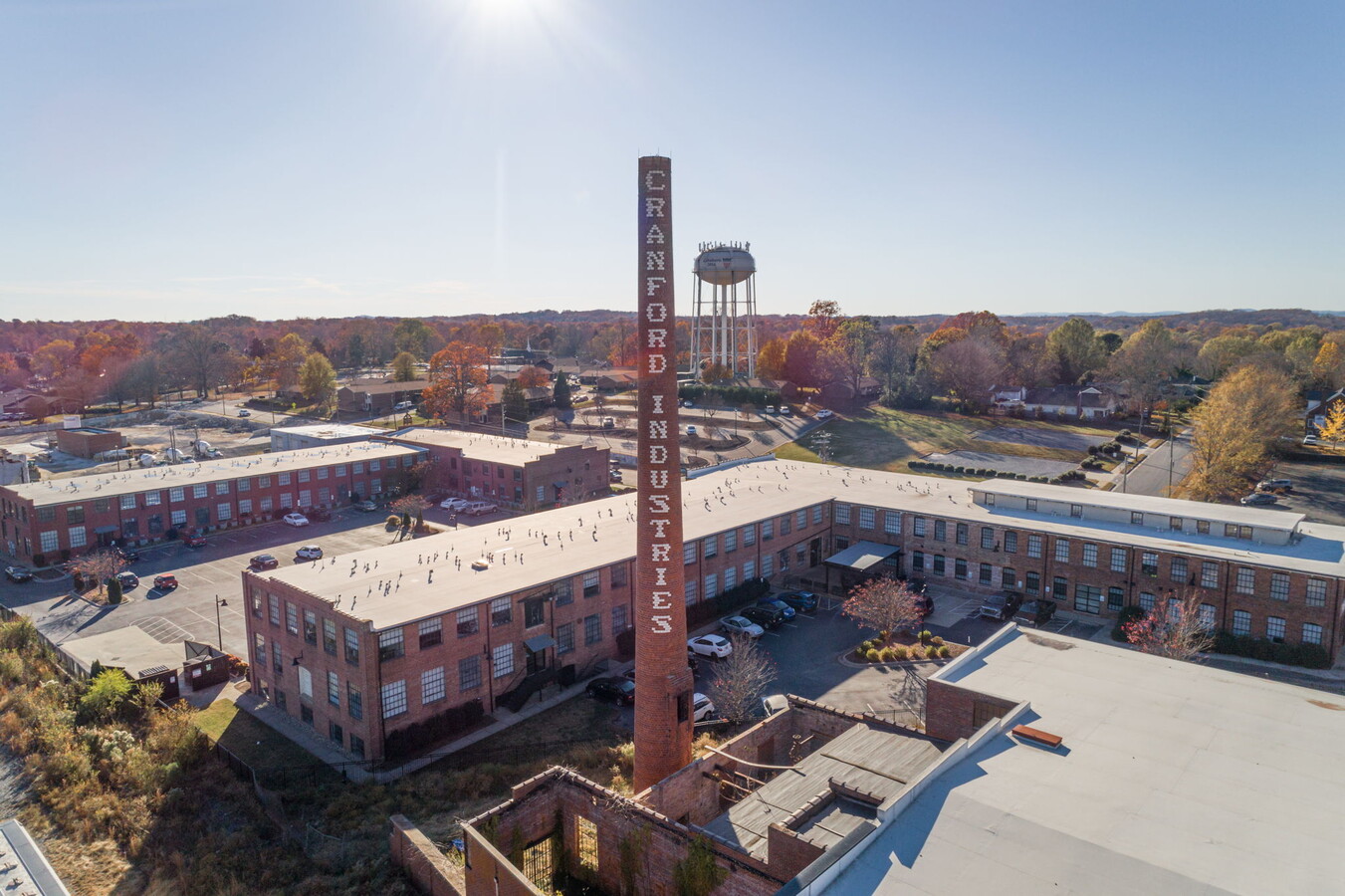
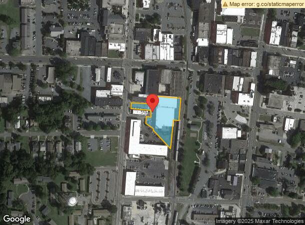
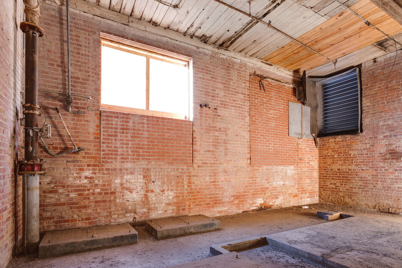
This Property Is For Sale
NEARBY LISTINGS FOR SALE OR LEASE
Property Detail
133 S Church St
7751-72-6479
S Church St
Warehouse
S CHURCH ST;E PL:141-56
X
Randolph
3710775100J
North Carolina
2024
1.10 AC
2024
Asheboro CBD
030100
Greensboro/Winston-Salem
68,580 SF
Greensboro-High Point, NC
DEMOGRAPHICS near 133 S Church St
1 Mile
3 Mile
5 Mile
2024 Total Population
9,308
25,419
42,516
2029 Population
9,715
26,444
44,244
Pop Growth 2024-2029
+ 4.37%
+ 4.03%
+ 4.06%
Average Age
39
40
40
2024 Total Households
3,929
10,219
16,907
HH Growth 2024-2029
+ 4.43%
+ 4.05%
+ 4.05%
Median Household Inc
$38,851
$45,778
$48,671
Avg Household Size
2.30
2.40
2.40
2024 Avg HH Vehicles
1.00
2.00
2.00
Median Home Value
$130,089
$146,808
$144,877
Median Year Built
1968
1972
1978
Nearby Places
- Restaurants
- Banks
- Shops
- Fitness
- Groceries
PUBLIC TRANSPORTATION
AIRPORT
Piedmont Triad International
DRIVE
WALK
Distance
Piedmont Triad International
45 min
33.5 mi
Freight Ports
Port of Wilmington
DRIVE
WALK
Distance
Port of Wilmington
225 min
189.5 mi
Nearby Properties
Address
Land Use
TOTAL SIZE
Lot Size
Zoning
Address
Land Use
TOTAL SIZE
Lot Size
Zoning
312,205 SF
6.83 AC
B2
Address
Land Use
TOTAL SIZE
Lot Size
Zoning
10,292 SF
24.89 AC
RA6 (CZ)
Address
Land Use
TOTAL SIZE
Lot Size
Zoning
221,524 SF
22.11 AC
B2 (CZ)
Address
Land Use
TOTAL SIZE
Lot Size
Zoning
178,413 SF
35.87 AC
B2
Address
Land Use
TOTAL SIZE
Lot Size
Zoning
24.92 AC
B2
Address
Land Use
TOTAL SIZE
Lot Size
Zoning
5.24 AC
B3
Address
Land Use
TOTAL SIZE
Lot Size
Zoning
111,408 SF
125.85 AC
I3 (CZ)
Address
Land Use
TOTAL SIZE
Lot Size
Zoning
44,912 SF
25.15 AC
I1
Address
Land Use
TOTAL SIZE
Lot Size
Zoning
75,251 SF
18.75 AC
B2 (CZ)
Address
Land Use
TOTAL SIZE
Lot Size
Zoning
20,500 SF
71.50 AC
I2
Address
Land Use
TOTAL SIZE
Lot Size
Zoning
26.07 AC
B2
Address
Land Use
TOTAL SIZE
Lot Size
Zoning
84,857 SF
8.31 AC
B2
Address
Land Use
TOTAL SIZE
Lot Size
Zoning
84,298 SF
8.25 AC
B2
Address
Land Use
TOTAL SIZE
Lot Size
Zoning
94,956 SF
15.15 AC
B2
Address
Land Use
TOTAL SIZE
Lot Size
Zoning
159,217 SF
25.99 AC
I1
Address
Land Use
TOTAL SIZE
Lot Size
Zoning
52,741 SF
2.53 AC
B2
Address
Land Use
TOTAL SIZE
Lot Size
Zoning
136,877 SF
25.59 AC
I1
Address
Land Use
TOTAL SIZE
Lot Size
Zoning
48,175 SF
17.06 AC
I1
Address
Land Use
TOTAL SIZE
Lot Size
Zoning
24,000 SF
8.56 AC
B2
Address
Land Use
TOTAL SIZE
Lot Size
Zoning
882 SF
11.36 AC
B2
Address
Land Use
TOTAL SIZE
Lot Size
Zoning
18,844 SF
2.83 AC
B2
Address
Land Use
TOTAL SIZE
Lot Size
Zoning
2,466.10 AC
RA
Address
Land Use
TOTAL SIZE
Lot Size
Zoning
2,592 SF
15.50 AC
RA6
Address
Land Use
TOTAL SIZE
Lot Size
Zoning
39,512 SF
2.91 AC
B2
Address
Land Use
TOTAL SIZE
Lot Size
Zoning
47,797 SF
2.61 AC
B2 (CZ)
Address
Land Use
TOTAL SIZE
Lot Size
Zoning
15,384 SF
6.03 AC
I1
Address
Land Use
TOTAL SIZE
Lot Size
Zoning
5.58 AC
B2
Address
Land Use
TOTAL SIZE
Lot Size
Zoning
43,046 SF
4.09 AC
B2
Address
Land Use
TOTAL SIZE
Lot Size
Zoning
59,830 SF
0.85 AC
RA6
Address
Land Use
TOTAL SIZE
Lot Size
Zoning
75,024 SF
2.02 AC
B2
The World's #1 Commercial Real Estate Marketplace
Connect with us
© 2025 CoStar Group
The information above has been obtained from sources believed reliable. While we do not doubt its accuracy we have not verified it and make no guarantee, warranty or representation about it. It is your responsibility to independently confirm its accuracy and completeness. Any projections, opinions, assumptions, or estimates used are for example only and do not represent the current or future performance of the property. The value of this transaction to you depends on tax and other factors which should be evaluated by your tax, financial, and legal advisors. You and your advisors should conduct a careful, independent investigation of the property to determine to your satisfaction the suitability of the property for your needs.