Property Record
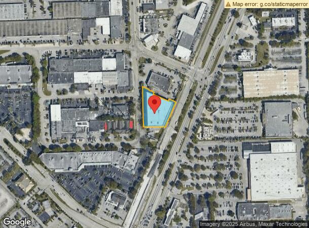
13301 Sw 87Th Ave, Miami, FL 33176


NEARBY LISTINGS FOR SALE OR LEASE
Property Detail
13301 Sw 87Th Ave
Miami-Miami Beach-Kendall, FL
M/L So Kendall Ind No 1
30-5015-010-0390
15 55 40 .94 AC M/L SO KENDALL IND NO 1 PB 57-59 LOT 4 DESC - BEG NW COR LOT 4 SELY55.85FT TH SWLY2.49FT TH SELY35.67FT TH SWLY15.01FT TH SELY111.42FT TH NELY17.50FT TH SELY TO NE COR LOT 4 TH SWLY100FT TH NWLY179.86FT TH N TO POB & LOT 5 LESS S100FT
Warehouse
Miami/Dade
X
Florida
12086C0464L
4
2023
0.99 AC
2024
South Dixie Hwy
008409
South Florida
176,865 SF
DEMOGRAPHICS near 13301 Sw 87Th Ave
1 Mile
3 Mile
5 Mile
2024 Total Population
10,286
88,930
255,933
2029 Population
10,021
86,395
249,483
Pop Growth 2024-2029
(2.58%)
(2.85%)
(2.52%)
Average Age
42
42
42
2024 Total Households
3,925
30,178
91,170
HH Growth 2024-2029
(2.85%)
(3.26%)
(2.83%)
Median Household Inc
$87,775
$102,212
$80,399
Avg Household Size
2.60
2.80
2.70
2024 Avg HH Vehicles
2.00
2.00
2.00
Median Home Value
$652,063
$617,511
$452,474
Median Year Built
1975
1973
1977
Nearby Places
- Restaurants
- Banks
- Shops
- Fitness
- Groceries
Nearby Properties
Address
Land Use
TOTAL SIZE
Lot Size
Zoning
Address
Land Use
TOTAL SIZE
Lot Size
Zoning
1,018,683 SF
11.46 AC
5000
Address
Land Use
TOTAL SIZE
Lot Size
Zoning
1,527,515 SF
55.17 AC
5000
Address
Land Use
TOTAL SIZE
Lot Size
Zoning
766,093 SF
8.91 AC
5000
Address
Land Use
TOTAL SIZE
Lot Size
Zoning
846,804 SF
43 AC
6400
Address
Land Use
TOTAL SIZE
Lot Size
Zoning
521,667 SF
1.08 AC
6112
Address
Land Use
TOTAL SIZE
Lot Size
Zoning
340,763 SF
59.02 AC
0100
Address
Land Use
TOTAL SIZE
Lot Size
Zoning
425,003 SF
3.56 AC
8900
Address
Land Use
TOTAL SIZE
Lot Size
Zoning
199,915 SF
15.19 AC
6200
Address
Land Use
TOTAL SIZE
Lot Size
Zoning
277,025 SF
0.01 AC
6114
Address
Land Use
TOTAL SIZE
Lot Size
Zoning
360,424 SF
18.51 AC
2300
Address
Land Use
TOTAL SIZE
Lot Size
Zoning
553,491 SF
10.64 AC
3900
Address
Land Use
TOTAL SIZE
Lot Size
Zoning
540,778 SF
0.01 AC
6114
Address
Land Use
TOTAL SIZE
Lot Size
Zoning
183,845 SF
18.77 AC
5000
Address
Land Use
TOTAL SIZE
Lot Size
Zoning
313,755 SF
5 AC
2300
Address
Land Use
TOTAL SIZE
Lot Size
Zoning
350,683 SF
10.14 AC
6200
Address
Land Use
TOTAL SIZE
Lot Size
Zoning
251,016 SF
18.23 AC
6200
Address
Land Use
TOTAL SIZE
Lot Size
Zoning
235,115 SF
18.39 AC
2300
Address
Land Use
TOTAL SIZE
Lot Size
Zoning
237,857 SF
9.09 AC
2300
Address
Land Use
TOTAL SIZE
Lot Size
Zoning
141,192 SF
9.01 AC
6400
Address
Land Use
TOTAL SIZE
Lot Size
Zoning
474,455 SF
3.58 AC
6111
Address
Land Use
TOTAL SIZE
Lot Size
Zoning
197,772 SF
6.54 AC
6400
Address
Land Use
TOTAL SIZE
Lot Size
Zoning
108,485 SF
5.83 AC
6400
Address
Land Use
TOTAL SIZE
Lot Size
Zoning
96,075 SF
5.24 AC
6200
Address
Land Use
TOTAL SIZE
Lot Size
Zoning
187,775 SF
4.77 AC
9400
Address
Land Use
TOTAL SIZE
Lot Size
Zoning
302,648 SF
2.57 AC
6111
Address
Land Use
TOTAL SIZE
Lot Size
Zoning
212,280 SF
4.38 AC
6900
Address
Land Use
TOTAL SIZE
Lot Size
Zoning
69,409 SF
5.43 AC
6114
Address
Land Use
TOTAL SIZE
Lot Size
Zoning
127,353 SF
131 SF
6114
Address
Land Use
TOTAL SIZE
Lot Size
Zoning
472,711 SF
1.90 AC
5000
Address
Land Use
TOTAL SIZE
Lot Size
Zoning
183,854 SF
0.76 AC
6112
The World's #1 Commercial Real Estate Marketplace
Connect with us
© 2025 CoStar Group
The information above has been obtained from sources believed reliable. While we do not doubt its accuracy we have not verified it and make no guarantee, warranty or representation about it. It is your responsibility to independently confirm its accuracy and completeness. Any projections, opinions, assumptions, or estimates used are for example only and do not represent the current or future performance of the property. The value of this transaction to you depends on tax and other factors which should be evaluated by your tax, financial, and legal advisors. You and your advisors should conduct a careful, independent investigation of the property to determine to your satisfaction the suitability of the property for your needs.