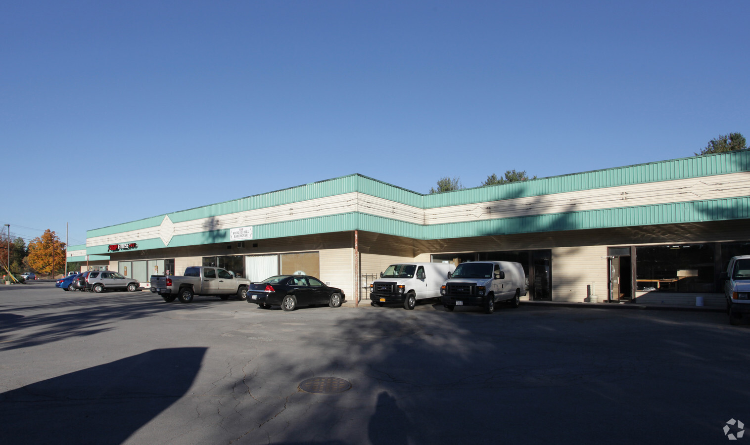
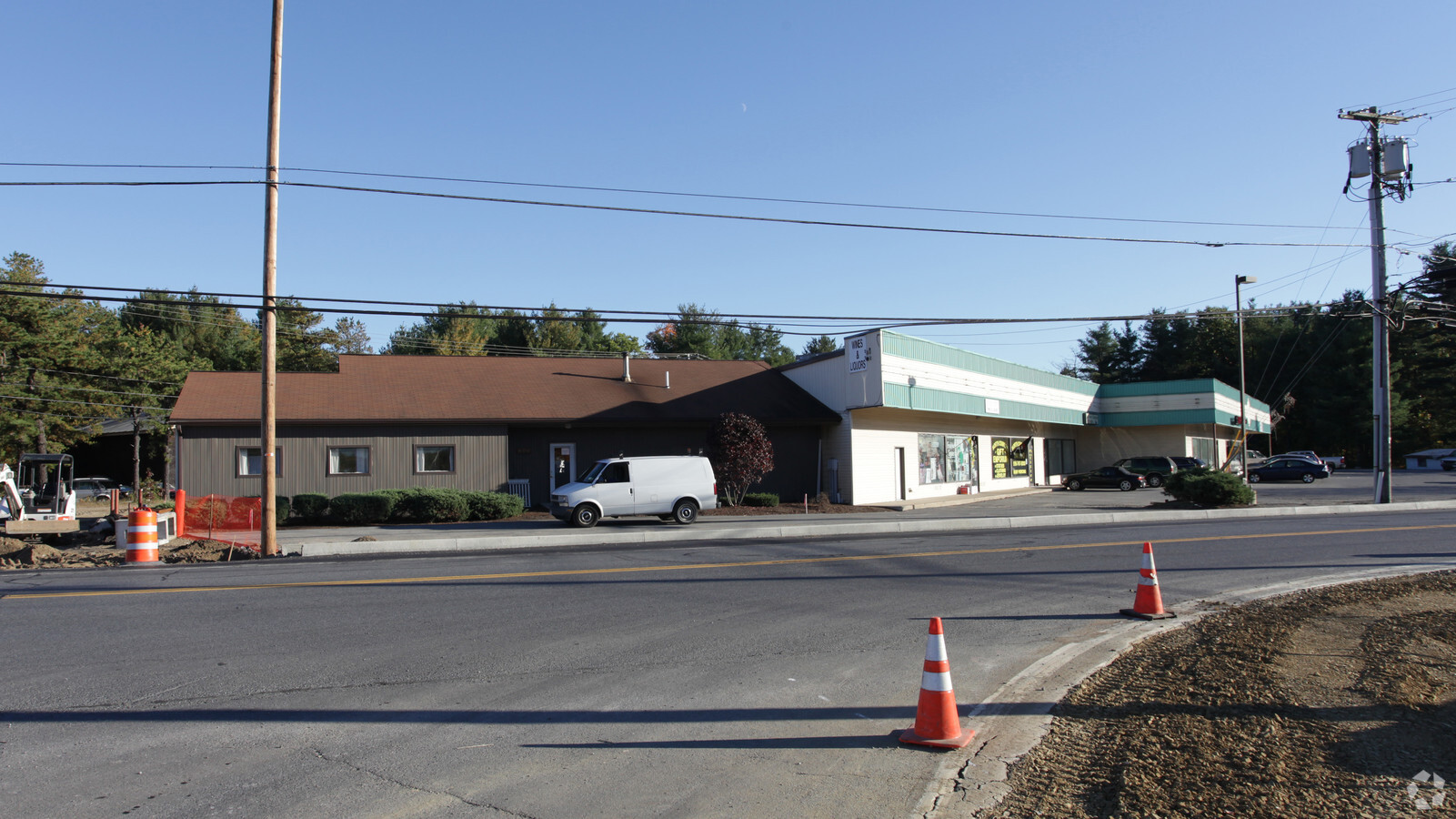
Property Record
1332 Route 9 Rd, Gansevoort, NY 12831
Current Lease Availabilities
NEARBY LISTINGS FOR SALE OR LEASE
Property Detail
1332 Route 9 Rd
Albany-Schenectady-Troy, NY
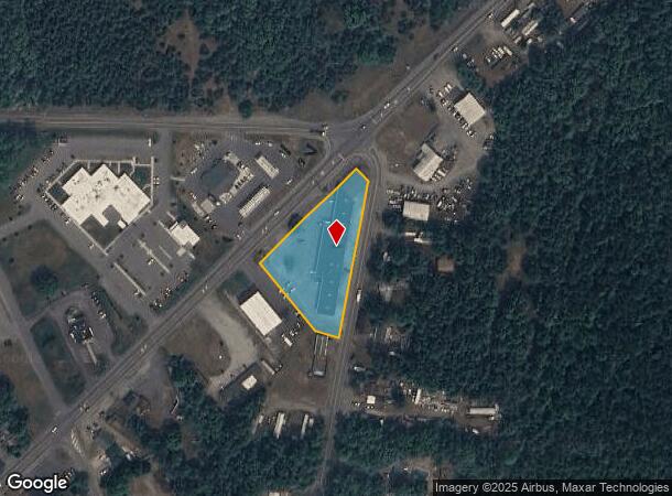
Saratoga
414489 77.1-1-20
New York
Stripcommercialcenter
20.000
2023
1.35 AC
2023
Saratoga County
060704
Albany/Schenectady/Troy
19,435 SF
DEMOGRAPHICS near 1332 Route 9 Rd
1 Mile
3 Mile
5 Mile
2024 Total Population
2,226
8,765
33,056
2029 Population
2,327
9,174
33,491
Pop Growth 2024-2029
+ 4.54%
+ 4.67%
+ 1.32%
Average Age
43
43
42
2024 Total Households
951
3,500
13,704
HH Growth 2024-2029
+ 4.21%
+ 4.51%
+ 1.23%
Median Household Inc
$77,659
$102,152
$81,087
Avg Household Size
2.30
2.50
2.40
2024 Avg HH Vehicles
2.00
2.00
2.00
Median Home Value
$214,806
$252,676
$222,647
Median Year Built
1982
1985
1979
Nearby Places
- Restaurants
- Banks
- Shops
- Fitness
- Groceries
Nearby Properties
Address
Land Use
TOTAL SIZE
Lot Size
Zoning
Address
Land Use
TOTAL SIZE
Lot Size
Zoning
115.90 AC
WR
Address
Land Use
TOTAL SIZE
Lot Size
Zoning
144,029 SF
28.34 AC
R1
Address
Land Use
TOTAL SIZE
Lot Size
Zoning
22,317 SF
5.28 AC
C1
Address
Land Use
TOTAL SIZE
Lot Size
Zoning
4,340 SF
27.57 AC
PUD
Address
Land Use
TOTAL SIZE
Lot Size
Zoning
627.78 AC
RP
Address
Land Use
TOTAL SIZE
Lot Size
Zoning
76,451 SF
23.20 AC
R2
Address
Land Use
TOTAL SIZE
Lot Size
Zoning
572 SF
124.63 AC
RP
Address
Land Use
TOTAL SIZE
Lot Size
Zoning
23,058 SF
3.81 AC
M2
Address
Land Use
TOTAL SIZE
Lot Size
Zoning
18,690 SF
21.86 AC
R2
Address
Land Use
TOTAL SIZE
Lot Size
Zoning
9,600 SF
185.72 AC
C1
Address
Land Use
TOTAL SIZE
Lot Size
Zoning
30,020 SF
5.95 AC
C1
Address
Land Use
TOTAL SIZE
Lot Size
Zoning
3,480 SF
17.38 AC
C1
Address
Land Use
TOTAL SIZE
Lot Size
Zoning
39,248 SF
3.16 AC
C1
Address
Land Use
TOTAL SIZE
Lot Size
Zoning
15,600 SF
7.29 AC
C1
Address
Land Use
TOTAL SIZE
Lot Size
Zoning
3,600 SF
4.52 AC
C1
Address
Land Use
TOTAL SIZE
Lot Size
Zoning
14,426 SF
11.44 AC
R2
Address
Land Use
TOTAL SIZE
Lot Size
Zoning
924 SF
6.40 AC
C1
Address
Land Use
TOTAL SIZE
Lot Size
Zoning
3,600 SF
1.74 AC
C1
Address
Land Use
TOTAL SIZE
Lot Size
Zoning
Address
Land Use
TOTAL SIZE
Lot Size
Zoning
18,819 SF
4.96 AC
R1
Address
Land Use
TOTAL SIZE
Lot Size
Zoning
2,842 SF
53.68 AC
C1
Address
Land Use
TOTAL SIZE
Lot Size
Zoning
952 SF
7.81 AC
C1
Address
Land Use
TOTAL SIZE
Lot Size
Zoning
7,000 SF
2.63 AC
C1
Address
Land Use
TOTAL SIZE
Lot Size
Zoning
2,480 SF
2.17 AC
C1
Address
Land Use
TOTAL SIZE
Lot Size
Zoning
18,200 SF
3.22 AC
C1
Address
Land Use
TOTAL SIZE
Lot Size
Zoning
980 SF
5.82 AC
C1
Address
Land Use
TOTAL SIZE
Lot Size
Zoning
14,008 SF
3.06 AC
R2
Address
Land Use
TOTAL SIZE
Lot Size
Zoning
8,510 SF
2.82 AC
C1
Address
Land Use
TOTAL SIZE
Lot Size
Zoning
11,530 SF
1.84 AC
C1
The World's #1 Commercial Real Estate Marketplace
Connect with us
© 2025 CoStar Group
The information above has been obtained from sources believed reliable. While we do not doubt its accuracy we have not verified it and make no guarantee, warranty or representation about it. It is your responsibility to independently confirm its accuracy and completeness. Any projections, opinions, assumptions, or estimates used are for example only and do not represent the current or future performance of the property. The value of this transaction to you depends on tax and other factors which should be evaluated by your tax, financial, and legal advisors. You and your advisors should conduct a careful, independent investigation of the property to determine to your satisfaction the suitability of the property for your needs.