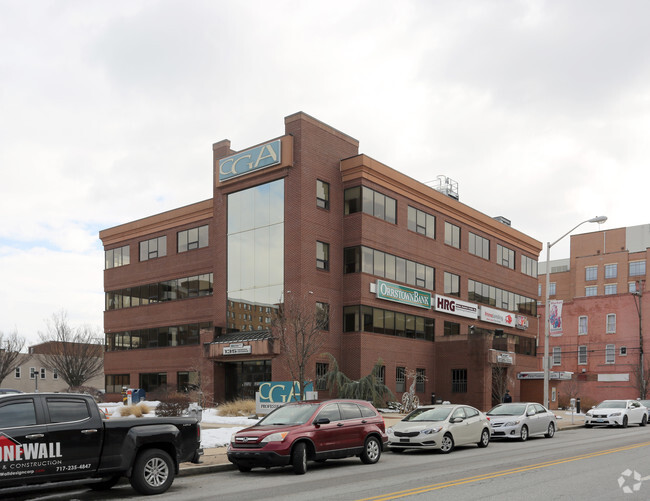
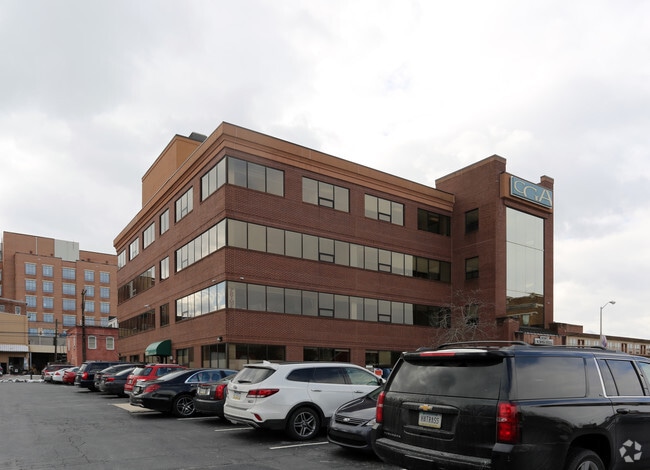
Property Record
135 N George St, York, PA 17401

NEARBY LISTINGS FOR SALE OR LEASE
Property Detail
135 N George St
07-124-02-0022.00-00000
Arlington Park
Officebuilding
York
X
Pennsylvania
42133C0328F
1.28 AC
2025
York County
2025
Philadelphia
001600
York-Hanover, PA
17,930 SF
DEMOGRAPHICS near 135 N George St
1 Mile
3 Mile
5 Mile
2024 Total Population
31,354
95,292
157,493
2029 Population
32,223
97,740
161,493
Pop Growth 2024-2029
+ 2.77%
+ 2.57%
+ 2.54%
Average Age
35
39
40
2024 Total Households
12,005
37,204
60,930
HH Growth 2024-2029
+ 2.82%
+ 2.63%
+ 2.59%
Median Household Inc
$33,730
$53,795
$64,455
Avg Household Size
2.50
2.40
2.40
2024 Avg HH Vehicles
1.00
2.00
2.00
Median Home Value
$73,802
$152,153
$189,024
Median Year Built
1947
1954
1965
Nearby Places
Map Layers
Map Styles
 Street
 Aerial
- Restaurants
- Banks
- Shops
- Fitness
- Groceries
PUBLIC TRANSPORTATION
AIRPORT
Harrisburg International
DRIVE
WALK
Distance
Harrisburg International
42 min
29.5 mi
Freight Ports
Port of Baltimore
DRIVE
WALK
Distance
Port of Baltimore
72 min
52.5 mi
SALE & LEASE HISTORY
LISTING DATE
SALE/LEASE

Sep 24, 2016
For Lease
Sep 24, 2016
For Sale
Nov 02, 2016
For Lease
Jan 29, 2020
For Lease
Nearby Properties
Address
Land Use
TOTAL SIZE
Lot Size
Zoning
Address
Land Use
TOTAL SIZE
Lot Size
Zoning
21 AC
I
Address
Land Use
TOTAL SIZE
Lot Size
Zoning
779,291 SF
95.61 AC
I
Address
Land Use
TOTAL SIZE
Lot Size
Zoning
2,858 SF
46.24 AC
CM
Address
Land Use
TOTAL SIZE
Lot Size
Zoning
1,068,680 SF
64.22 AC
I
Address
Land Use
TOTAL SIZE
Lot Size
Zoning
754,640 SF
54.36 AC
Address
Land Use
TOTAL SIZE
Lot Size
Zoning
123,796 SF
26.99 AC
CH
Address
Land Use
TOTAL SIZE
Lot Size
Zoning
347,456 SF
58.09 AC
RS
Address
Land Use
TOTAL SIZE
Lot Size
Zoning
174,841 SF
27.30 AC
RS
Address
Land Use
TOTAL SIZE
Lot Size
Zoning
286,411 SF
35.12 AC
CM
Address
Land Use
TOTAL SIZE
Lot Size
Zoning
11.83 AC
RS
Address
Land Use
TOTAL SIZE
Lot Size
Zoning
170,850 SF
27.83 AC
FD
Address
Land Use
TOTAL SIZE
Lot Size
Zoning
195,669 SF
22.25 AC
RS
Address
Land Use
TOTAL SIZE
Lot Size
Zoning
12,432 SF
27.56 AC
R1
Address
Land Use
TOTAL SIZE
Lot Size
Zoning
42,414 SF
25.52 AC
ID
Address
Land Use
TOTAL SIZE
Lot Size
Zoning
373,298 SF
24.99 AC
GI
Address
Land Use
TOTAL SIZE
Lot Size
Zoning
14.17 AC
RS
Address
Land Use
TOTAL SIZE
Lot Size
Zoning
44,800 SF
18.73 AC
CM
Address
Land Use
TOTAL SIZE
Lot Size
Zoning
483,676 SF
165.85 AC
I
Address
Land Use
TOTAL SIZE
Lot Size
Zoning
47,648 SF
25.99 AC
MU
Address
Land Use
TOTAL SIZE
Lot Size
Zoning
379,696 SF
20.09 AC
GI
Address
Land Use
TOTAL SIZE
Lot Size
Zoning
471,400 SF
31.22 AC
ID
Address
Land Use
TOTAL SIZE
Lot Size
Zoning
6.44 AC
RS
Address
Land Use
TOTAL SIZE
Lot Size
Zoning
43,200 SF
19 AC
RH
Address
Land Use
TOTAL SIZE
Lot Size
Zoning
133,416 SF
14.08 AC
RS
Address
Land Use
TOTAL SIZE
Lot Size
Zoning
25,608 SF
10.34 AC
RS
Address
Land Use
TOTAL SIZE
Lot Size
Zoning
30,060 SF
11.17 AC
RS
Address
Land Use
TOTAL SIZE
Lot Size
Zoning
64,530 SF
24.66 AC
AG
Address
Land Use
TOTAL SIZE
Lot Size
Zoning
85,793 SF
9.71 AC
RS
Address
Land Use
TOTAL SIZE
Lot Size
Zoning
30,530 SF
2.27 AC
RS
Address
Land Use
TOTAL SIZE
Lot Size
Zoning
200,820 SF
14.74 AC
I
The World's #1 Commercial Real Estate Marketplace
Connect with us
© 2025 CoStar Group
The information above has been obtained from sources believed reliable. While we do not doubt its accuracy we have not verified it and make no guarantee, warranty or representation about it. It is your responsibility to independently confirm its accuracy and completeness. Any projections, opinions, assumptions, or estimates used are for example only and do not represent the current or future performance of the property. The value of this transaction to you depends on tax and other factors which should be evaluated by your tax, financial, and legal advisors. You and your advisors should conduct a careful, independent investigation of the property to determine to your satisfaction the suitability of the property for your needs.